Goat Falls
Custer County, Idaho
Your visit at a glance
- Waterfall height
- Not recorded
- Location
- Custer County, Idaho
- Access status
- Published route with mileages from a USFS trailhead
- The walk
- About 6.6 miles return
- Ground & access
- Forest trail with climbing; the final hillside path becomes faint. The route to Goat Lake beyond is an unmarked granite scramble.
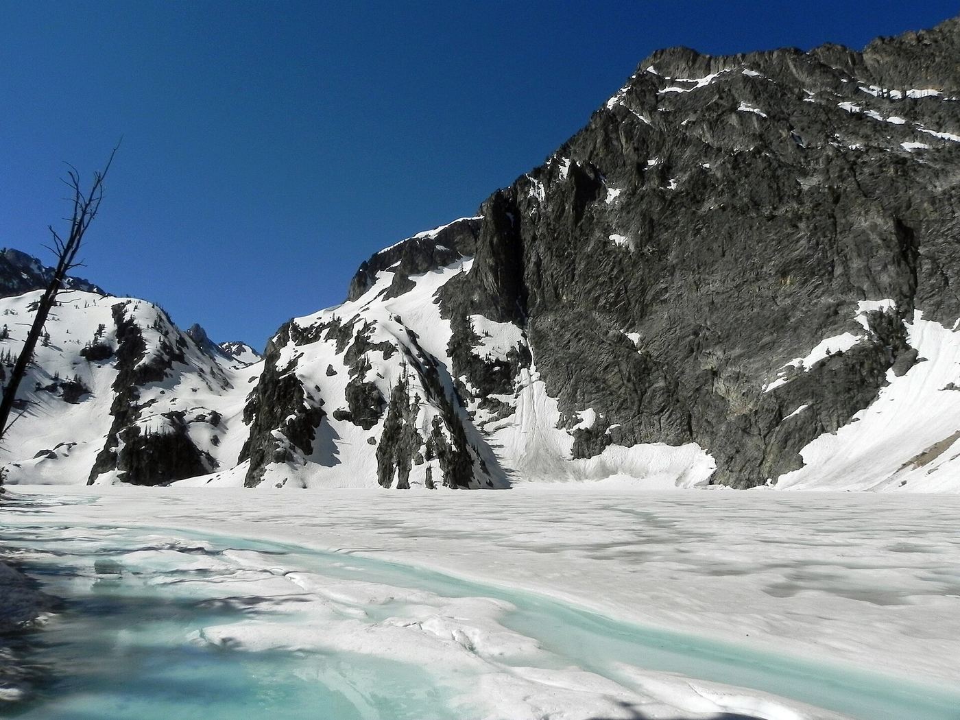
From Iron Creek Trailhead, follow the trail through forest along Iron Creek. At 1.1 miles you enter the Sawtooth Wilderness; turn left at the marked junction onto the Alpine Way Trail across Iron Creek. Take the right path at the 2.9-mile junction and follow the hillside to Goat Falls at 3.3 miles. A 100-foot side path gives the best view.
Plan your visit
Iron Creek Trailhead to the Goat Falls viewpoint via the Alpine Way Trail
The Outbound places Goat Falls at 3.3 miles from Iron Creek Trailhead. The 6.6-mile return is derived for the same way back and does not include the scramble to Goat Lake.
Forest trail with climbing; the final hillside path becomes faint. The route to Goat Lake beyond is an unmarked granite scramble.
Where to start
Iron Creek Trailhead, Sawtooth National Forest. Facility details are not given on the USFS page.
Timing & water
High-elevation route; snow can cover it outside summer. Current trail and road conditions were not checked.
Before you go
Fees and wilderness permit requirements were not confirmed in the reviewed sources.
Visitor informationVisit sources
More waterfalls nearby
Within 40 straight-line miles. Road and trail distances will differ.
- Bridal Veil FallsPublished trail route; final unmarked path not described in detailCuster County, ID5.1 miNW
- Baron Creek FallsPartial guide: exact distance to the falls view and trailhead details unconfirmedCuster County, ID5.3 miS
- Lady Face FallsParking documented; clear waterfall view from the upper path uncertainCuster County, ID5.4 miNW
- Grandjean Creek WaterfallPartial guide: roadside parking and path from user listings onlyBoise County, ID7.5 miW
- Fern FallsPartial guide: distance to the falls not confirmed; older trip report onlyBoise County, ID11 miS
- Smith FallsPartial guide: total distance from the trailhead not confirmedBoise County, ID12 miS
- Dagger FallsLocation and road directions; waterfall approach unknownValley County, ID28 miNW
- Big FallsBoise County, ID36 miW