Auger Falls
Jerome County, Idaho
Your visit at a glance
- Waterfall height
- Not recorded
- Location
- Jerome County, Idaho
- Access status
- City park route and parking documented; distance basis not stated
- The walk
- About 2 miles to the falls (published figure; one way or return not stated)
- Ground & access
- Gravel path and singletrack. No shade. Mountain bikers share the paths. Cliff edges above the river. Do not cross Broken Bridge unless there is no water on either side.
Auger Falls is a 30-foot drop in the Snake River in the City of Twin Falls' 680-acre Auger Falls Heritage Park. From the trailhead lot, follow the main gravel path down the canyon past Broken Bridge, about a mile in. About 10 minutes later, side trails lead toward the river and the falls.
Plan your visit
Auger Falls Heritage Park trailhead on Canyon Springs Road to the Auger Falls river overlook
Visit Southern Idaho says the hike to Auger Falls is about 2 miles, passing Broken Bridge about a mile in. It does not say whether 2 miles is one way or return.
Gravel path and singletrack. No shade. Mountain bikers share the paths. Cliff edges above the river. Do not cross Broken Bridge unless there is no water on either side.
Where to start
Trailhead parking lot at Auger Falls Heritage Park, Canyon Springs Road, Twin Falls, with restrooms and a trail map, per Visit Southern Idaho. The city lists parking and restrooms as park features.
Timing & water
Snake River levels vary. Summer heat; the visitor guide advises going early in the day.
Before you go
No fee or reservation is listed on the city facility page.
Visitor informationVisit sources
More waterfalls nearby
Within 40 straight-line miles. Road and trail distances will differ.
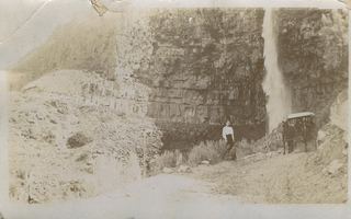 Perrine Coulee FallsRoadside parking; short unofficial trail behind the falls233 ft (71 m) · Twin Falls County, ID3.6 miSE
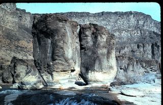 Pillar FallsRim views documented; walking start unverifiedTwin Falls County, ID5.3 miSE
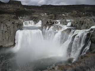 Shoshone FallsVerified park parking and viewing-platform approach212 ft (64.6 m) · Twin Falls County, ID6.7 miE
- Devils Washboard FallsGooding County, ID13 miW
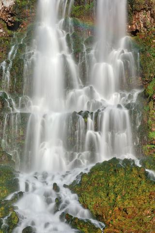 Lemmon FallsPartial guide: Ritter Island closed for the season; path described only by a photo-spot pageGooding County, ID18 miNW
- Minnie Miller FallsOutside the published island seasonGooding County, ID18 miNW
- Salmon FallsGooding County, ID21 miNW
- Devil's washbowl waterfallState park footbridge viewpoint; vehicle entry feeGooding County, ID23 miNW