Fall Creek Falls
Bonneville County, Idaho
Your visit at a glance
- Waterfall height
- Not recorded
- Location
- Bonneville County, Idaho
- The walk
- About 20 yards one-way from the sign
- Ground & access
- Unprotected edge without railings. Stay back from the brink.
View Fall Creek dropping into the Snake River.
Plan your visit
Fall Creek Falls roadside view near Swan Valley
Source measures from the Fall Creek Falls sign, not a confirmed parking space. Return by the same approach.
Unprotected edge without railings. Stay back from the brink.
Where to start
Fall Creek Road branches from Highway 26 before the Snake River bridge. Stay left along the river to the falls sign. A legal parking space is not identified in the source.
Timing & water
Current road and seasonal access unknown.
Before you go
Fees and reservation requirements are not stated in the cited visitor source; confirm before travel.
Visitor informationVisit sources
More waterfalls nearby
Within 40 straight-line miles. Road and trail distances will differ.
- Palisades WaterfallBonneville County, ID14 miE
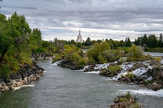 Idaho FallsCity riverside viewpoint; parking location not confirmedBonneville County, ID34 miW
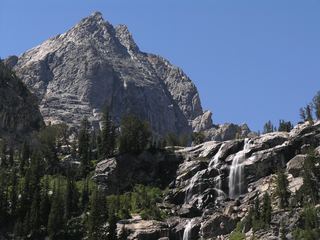 Shoshoko FallsPartial guide: unmaintained route in the national parkTeton County, WY34 miNE
- Cleft FallsPartial guide: national park trail into Garnet Canyon; where the trail passes this intermittent falls is not describedTeton County, WY36 miNE
- Bannock FallsTeton County, WY36 miNE
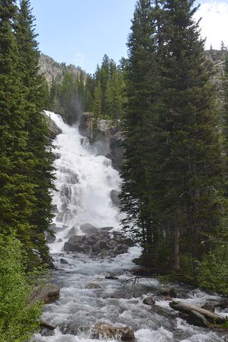 Hidden FallsNational park lakeshore trail or shuttle boat and short trail; entrance feeTeton County, WY39 miNE
- Ribbon CascadeTeton County, WY39 miNE