WaterfallNear Me

Massachusetts waterfall visits

Compare 27 Massachusetts waterfall visits by the approach, terrain, and where to start. Some routes have closures or unresolved details; read the individual guide before travelling.

27 visit options

Bash Bish Falls, MA.

Source-reviewed route and parking

Massachusetts

Bash Bish Falls

About 1.5 miles round trip; state map labels the trail 0.76 mile one way.

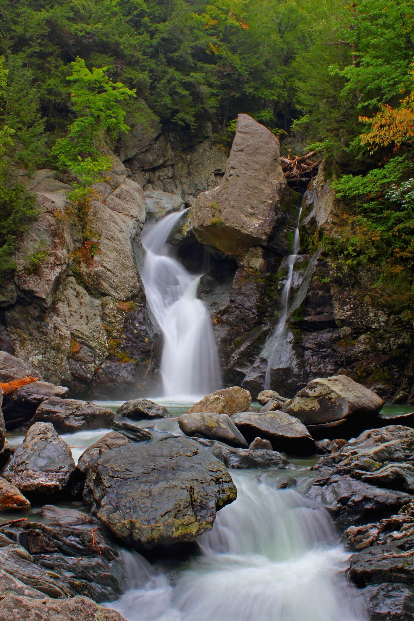
From the New York trailhead, follow the signed blue Bash Bish Falls Trail beside Bash Bish Brook east to the falls viewing area across the Massachusetts line, then return the same way. The state map confirms this route. Stay at the authorized viewing area and observe barriers at the stairs. The April 2026 Massachusetts maintenance advisory scheduled work through July 2, 2026 and explicitly kept the New York approach to the viewing area accessible during that work.
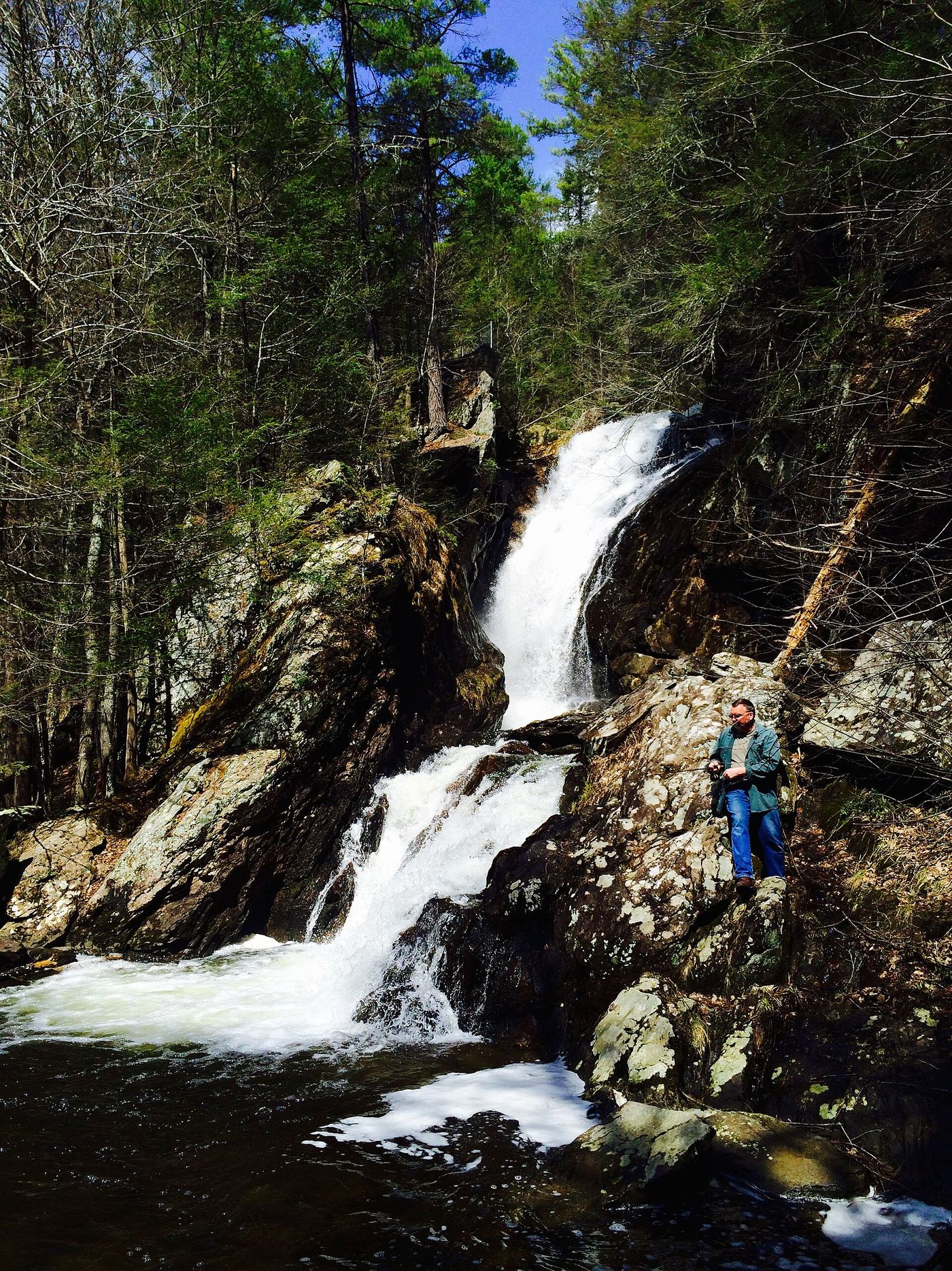
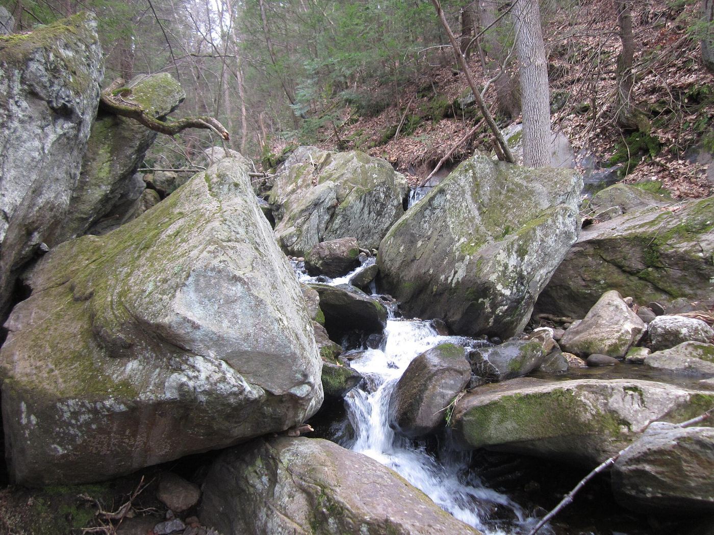
Photo creditPhoto: Tom Walsh, CC BY-SA 3.0, via Wikimedia Commons
Campbell Falls, MA

Short steep state park trail from the Massachusetts lot

Massachusetts

Campbell Falls

About 0.2 mile each way from the Massachusetts lot

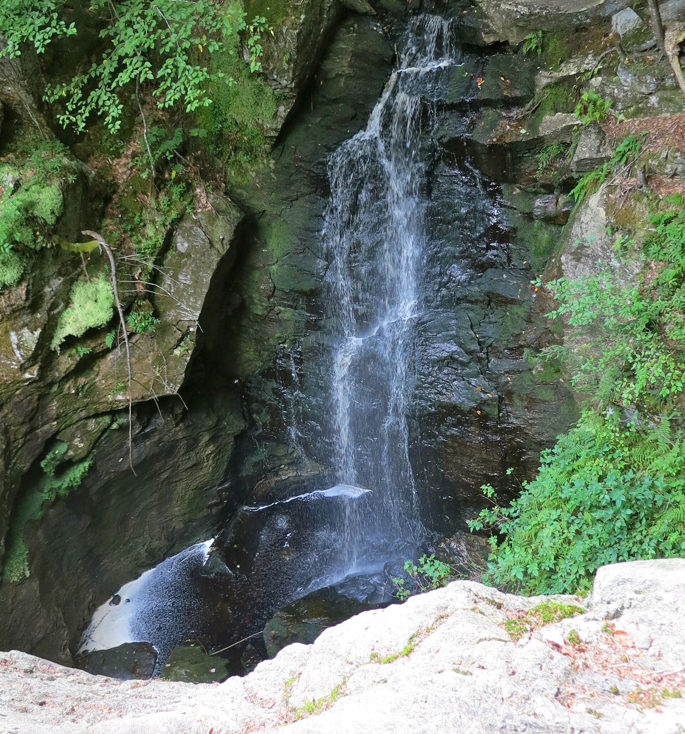
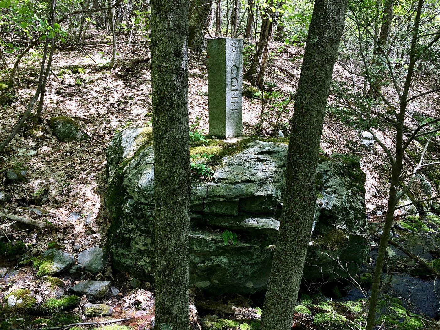
Campbell Falls State Park straddles the Massachusetts and Connecticut line. The Whiting River drops about 50 feet through a zigzag gorge. Berkshires Outside says the falls are best reached from the Massachusetts trailhead on Campbell Falls Road next to the state line, on a short trail that descends steeply over roots to an uneven viewing area. The walk back is uphill.

Photo creditPhoto: Morrowlong, CC BY-SA 4.0, via Wikimedia Commons
Goldmine Brook Falls, MA

Short unsigned path from Route 20; pull-off rules unconfirmed

Massachusetts

Goldmine Brook Falls

About 0.1 mile

Goldmine Brook Falls is a 45-foot, multi-tiered fall in a small gorge in Chester-Blandford State Forest. Western Mass Hilltown Hikers describe the lower trail along the falls starting from Route 20 at the guardrail, with parking just across the road. The path is not signed. A connecting trail continues past the falls to the old DCR trail and Mica Mine Road.

Photo creditPhoto: Dougtone, CC BY-SA 2.0, via Wikimedia Commons
Royalston Falls, MA

Official trailhead and fees documented; visitor account gives distance

Massachusetts

Royalston Falls

About 0.8 mile one way (about 1.6 miles return)

Drive Route 32 north 1.7 miles from the end of Route 68 to the entrance on the right and enter on the marked Tully Trail. The trail descends to the gorge of Falls Brook, where the 45-foot falls plunge into a basin. Views are from behind safety fences. Return the same way, uphill.

Photo creditPhoto: Ericshawwhite, CC BY-SA 3.0, via Wikimedia Commons
Sages Ravine Brook Falls, MA

Appalachian Trail route documented; exact mapped drop not confirmed

Massachusetts

Sages Ravine Brook Falls

About 1.6 miles one way to the Sages Ravine Brook crossing

From the small parking area, walk east on the old fire road called Northwest Road toward the AMC Northwest Cabin. Just before the cabin, turn left on an unmarked trail for about 0.7 mile to the Appalachian Trail. Turn left (north) on the white-blazed Appalachian Trail into Sages Ravine. Small falls and cascades line the trail for about half a mile. This falls lies east of the Appalachian Trail section of the ravine, so it may be a lower drop that the trail does not pass directly.

Photo creditPhoto: Morrowlong, CC BY-SA 4.0, via Wikimedia Commons
Wamesit Falls, MA

Overlook named on a city greenway; exact position not confirmed

Massachusetts

Wamesit Falls

Distance to the overlook not confirmed

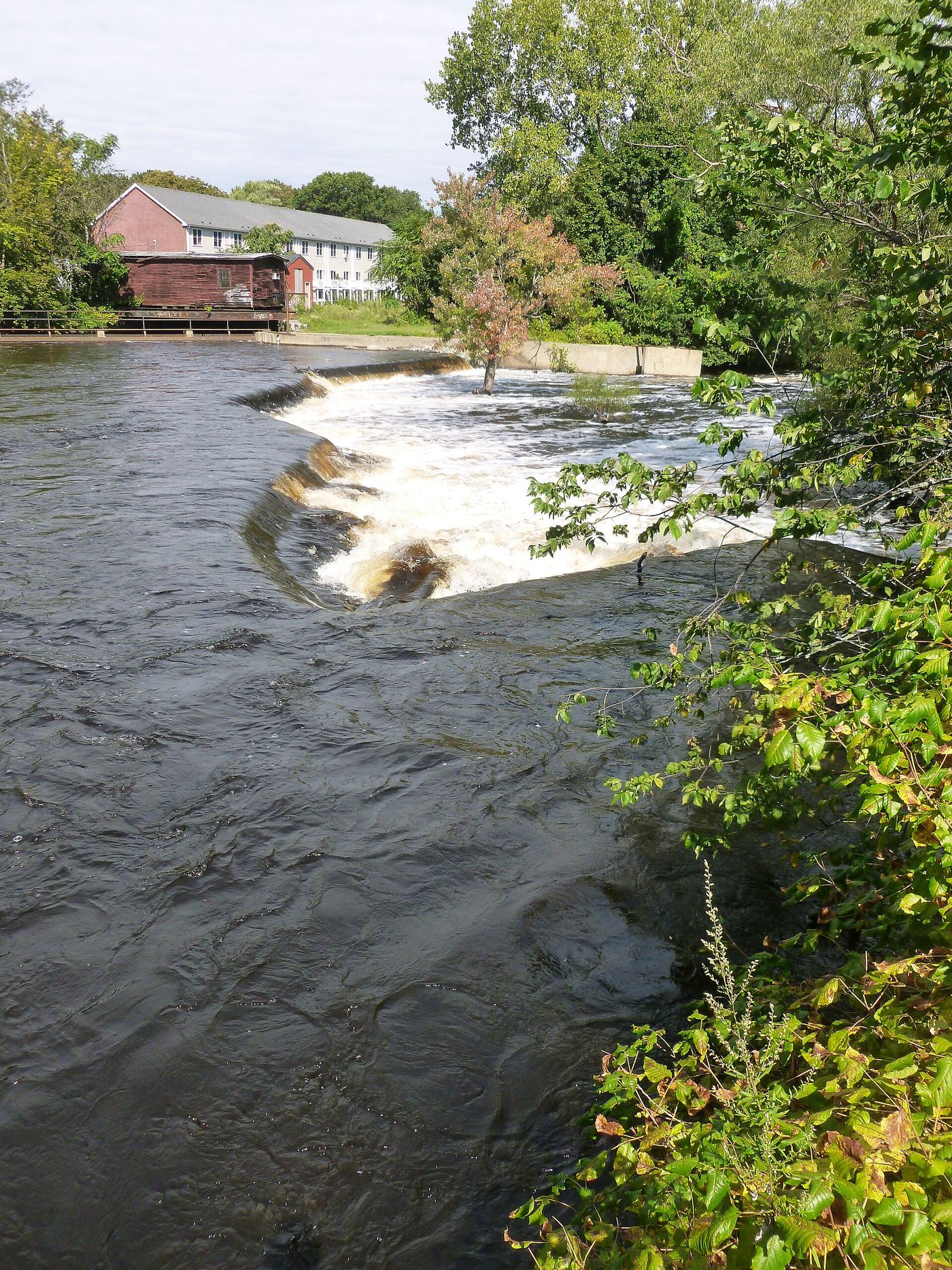
The Concord River Greenway is a paved city path on the east bank of the Concord River in Lowell. TrailLink lists the Wamesit Falls Overlook as a feature of the path. Walk the southern section from the Lawrence Street lot near the Lowell Cemetery entrance and look for the overlook above the rapids. The exact spot along the path was not confirmed.

Photo creditPhoto: Emw, CC BY-SA 3.0, via Wikimedia Commons

Trail hike on the Appalachian Trail; view from top only; short bushwhack

Massachusetts

Bear Rock Falls

About 3.0 miles one way, 6 miles return

Bear Rock Falls drops an estimated 300 to 400 feet down a steep cliff in Mount Everett State Reservation, but only the top (about 40 feet) can be seen. From the small AMC Northwest Cabin parking, walk the old fire road east, turn left before the cabin onto an unmarked trail to the Appalachian Trail, then go north through Sages Ravine, cross the brook and continue to Bear Rock Stream just past the Laurel Ridge campsite spur. Bushwhack about 200 feet downstream to the top of the falls and a ledge view east.

Location map; no photo available.

Official land trust route, hours and parking

Massachusetts

Bear's Den Falls

About a quarter mile

Follow Neilson Road 0.5 mile from Elm Street to the Bear's Den entrance at 18 Neilson Road, New Salem, and park at the roadside on the right. Take the short trail and go left to the 12-foot waterfall in a gorge with 70-foot walls. The right fork follows the stream past an old mill site.

Location map; no photo available.

Short trail route and street parking documented

Massachusetts

Cascade Falls

About 800 feet one way (published segments)

The Cascade is a waterfall in the Middlesex Fells Reservation in Melrose. From the end of Goodyear Avenue, head straight into the woods on the Cross Fells Trail over a small wooden bridge, go 50 feet, and fork right onto the white-blazed Cascade Trail. Follow it about 750 feet to a point just above the base of the falls.

Location map; no photo available.

Very short path from parking area in a wildlife management area

Massachusetts

Cascade on South Brook

Less than 0.1 mile

The Cascade on South Brook is an 8-foot two-tier cascade into a pool in a small gorge in Stafford Hill Wildlife Management Area, Cheshire. From the large parking area on Notch Road, take the path into the woods across a tiny stream, turn right after about 100 feet and descend to the stream; the falls are about 50 feet upstream.

Location map; no photo available.

Signed state reservation trail; road access seasonal

Massachusetts

Deer Hill Falls

1.1 miles each way (about 2.2 miles return)

Deer Hill Falls is a seasonal, 60-foot horsetail on Roaring Brook in Mount Greylock State Reservation. Park at the Sperry Road trailhead on Rockwell Road, 2.3 miles south of the summit lot. Walk down Sperry Road (closed to unauthorized vehicles) 0.6 mile to a small ranger station and fork; go left, then follow signs past campsites to the blue-blazed Deer Hill Trail, cross a wooden bridge, fork right, and after about 0.2 mile fork left. The trail descends steeply to the base of the falls. Signs mark the main junctions.

Location map; no photo available.

Official trail, parking and rules documented

Massachusetts

Doane's Falls

Half-mile trail along the falls

Doane's Falls on Lawrence Brook tumbles from under a stone bridge toward Tully Lake in a series of drops. The Trustees' half-mile trail descends the west side of the stream with views of the drops. An accessible 0.15-mile trail reaches the lower falls section from the lower lot on Doane Hill Road.

Location map; no photo available.

Official land trust route, hours and parking

Massachusetts

Glendale Falls

About a quarter mile to the bottom of the falls

From East River Road in Middlefield, turn onto Clark Wright Road right after the bridge and drive 0.4 mile to the parking lot on the right. The upper falls are close to the lot; a quarter-mile trail descends beside the falls to the bottom. Do not continue downstream past the property boundary.

Location map; no photo available.

Short trail, platform and parking documented

Massachusetts

Haley Falls

About 0.17 mile one way (published segments)

Haley Brook Falls is a punchbowl falls on Williamstown Rural Lands Foundation trails. From the parking area, go directly down into the woods (not the Class of 33 Trail to the east). After about 0.1 mile, cross a bridge over a tiny stream, turn left downhill on the blue-blazed trail and follow it about 350 feet to an observation platform about 50 feet from the falls.

Location map; no photo available.

Short walk; final section on private land, stay on the trail

Massachusetts

Hobo Falls

About 0.5 mile one way, 1 mile return

Hobo Falls is a cascade on a short trail built as an Eagle Scout project in Northfield. From Main Street go east on Maple Street 0.8 mile to Old Wendell Road, then south to its dead end. Walk about 0.4 mile on a largely abandoned one-lane dirt road and watch for an easily missed sign on the left for the Hobo Trail, which runs just over 0.1 mile to the falls.

Location map; no photo available.

Club-documented trail from a free state trailhead

Massachusetts

Lower Falls

About 0.5 mile each way

Park at the Race Brook trailhead kiosk on Route 41 in Sheffield. Follow the Race Brook Falls trail and take the lower falls trail to the base of the first and largest cascade, nearly 100 feet high. The upper cascades need a difficult climb on rocks and roots.

Location map; no photo available.

Marked trail route documented; parking per visitor accounts

Massachusetts

March Cataract Falls

About 1.4 miles each way, 2.8 miles return (derived from published segments)

March Cataract Falls is a 30-foot seasonal fan on the western slope of Mount Greylock. Park at the junction of Sperry Road and Rockwell Road, walk Sperry Road past the ranger station and primitive campground, and take the trailhead on the right. The trail is well marked and lets you come close to the falls.

Location map; no photo available.

Official trail mileage and named trailhead documented; seasonal auto road

Massachusetts

Money Brook Falls

0.8 mile one way (about 1.6 miles return)

Park at the marked Money Brook Falls lot on Notch Road, the north auto road to the Mount Greylock summit. Follow the cut-off trail and the Money Brook Trail to the end of the official trail, where the 80-foot seasonal falls are in view. Return the same way.

Location map; no photo available.

Short published trail from Gould Road; informal parking

Massachusetts

Peck's Falls

Approximately 0.1 mile each way

From the trailhead gap in the rocks off Gould Road in Adams, follow the short, steep path down through the woods to the upper falls on Pecks Brook. Return the same way. The taller lower falls lie downstream between Gould Road and West Mountain Road and are a separate stop.

Location map; no photo available.

Town walkway and boardwalk to a viewing platform; easy

Massachusetts

Rock Falls

About 0.33 mile one way, about 0.7 mile return

Rock Falls is a ledge drop on the Monatiquot River in Braintree where a pool and weir fishway was built during the river restoration project. From Plain Street, a paved path leads to a wide wooden boardwalk heading north along the river past the former Armstrong and Ames dam sites. After about 0.15 mile the path is paved again and ends at a viewing platform above the fish ladder at Rock Falls. Return the same way.

Location map; no photo available.

Appalachian Trail hike to a series of small falls; exact mapped drop not confirmed

Massachusetts

Sages Ravine Falls

About 1.0 to 1.6 miles one way, depending on which drop you stop at

Sages Ravine Brook runs through a ravine on the Appalachian Trail near the Massachusetts and Connecticut line, with a series of small falls and cascades. The tallest is a 10-foot horsetail seen from the trail. From the small parking area, walk east on the old fire road called Northwest Road. Just before the AMC Northwest Cabin, after 0.3 mile, turn left onto an unmarked but obvious trail for 0.7 mile to the Appalachian Trail. Turn left and go north on the white-blazed trail into the ravine. It is not confirmed which single drop the mapped point marks.

Location map; no photo available.

Guidebook route on the Appalachian Trail; exact cascade not confirmed

Massachusetts

Sages Ravine Falls

About 1.7 miles one way (guidebook figure)

From the small parking area, walk east on the old fire road called Northwest Rd. Just before the AMC Northwest Cabin, about 0.3 mile, turn left on the unmarked path for about 0.7 mile to the Appalachian Trail. Turn left and go north on the white-blazed Appalachian Trail into Sages Ravine, where small falls and cascades line the trail. Return the same way.

Location map; no photo available.

Official property and parking confirmed; trail distance not published

Massachusetts

Spirit Falls

Distance not published by The Trustees

Jacobs Hill is a Trustees of Reservations property in Royalston. The Trustees describe a stream that drops about 200 feet over a quarter mile along the trail to form Spirit Falls. A trail section follows the streambed down to the Tully Trail. To reach The Ledges viewpoint, cross the stream at the top of the falls. The exact turn sequence from the parking area is not published on the page that was reviewed.

Location map; no photo available.

Published short trail from the state forest lot; seasonal road

Massachusetts

Tannery Falls

About 0.5 mile return

From the parking lot on Tannery Road in Savoy Mountain State Forest, follow the trail into the forest and along the brook, then down well-built wooden steps to the bottom of the ravine and the base of Tannery Falls. Return the same way; the climb back up is steep. Parker Brook Falls is beside the main approach.

Location map; no photo available.

Short walk in a state forest; parking spot and fees unconfirmed

Massachusetts

Trap Falls

Short walk; no published distance

Trap Falls is a set of three 10 to 12 foot plunges on Trapfall Brook in Willard Brook State Forest, just off Route 119 between Ashby and Townsend. From the parking area, walk a short distance along the brook past picnic tables and grills. A bridge near the falls lets you view them from both sides. The exact parking spot and current state forest fees were not confirmed from an official page.

Location map; no photo available.

Partial guide: private land, parking and current trail condition not confirmed

Massachusetts

Twin Cascade

About 0.5 mile one way per a visitor account (about 1 mile return)

A footpath leaves from beside the east portal of the Hoosac Tunnel on River Road in Florida and follows the old sluiceway along a steep ledge to the remains of an old dam and the two falls that join in a Y shape. The falls are on private property where respectful visitors have long been tolerated.

Location map; no photo available.

Official trailhead and trail documented; exact upper drop not confirmed

Massachusetts

Upper Falls

Under 2.1 miles one way

Start on the Race Brook Trail in Mount Everett State Reservation. The Lower Falls Trail branches right to the base of the lowest falls, about half a mile from the trailhead. Keep left on the Race Brook Trail to climb past the higher sections of the falls. The guidebook author describes five sets of falls and says the highest one needs a short bushwhack. Which of the upper drops this falls is has not been confirmed.

Location map; no photo available.

Choose another state All mapped waterfalls in Massachusetts