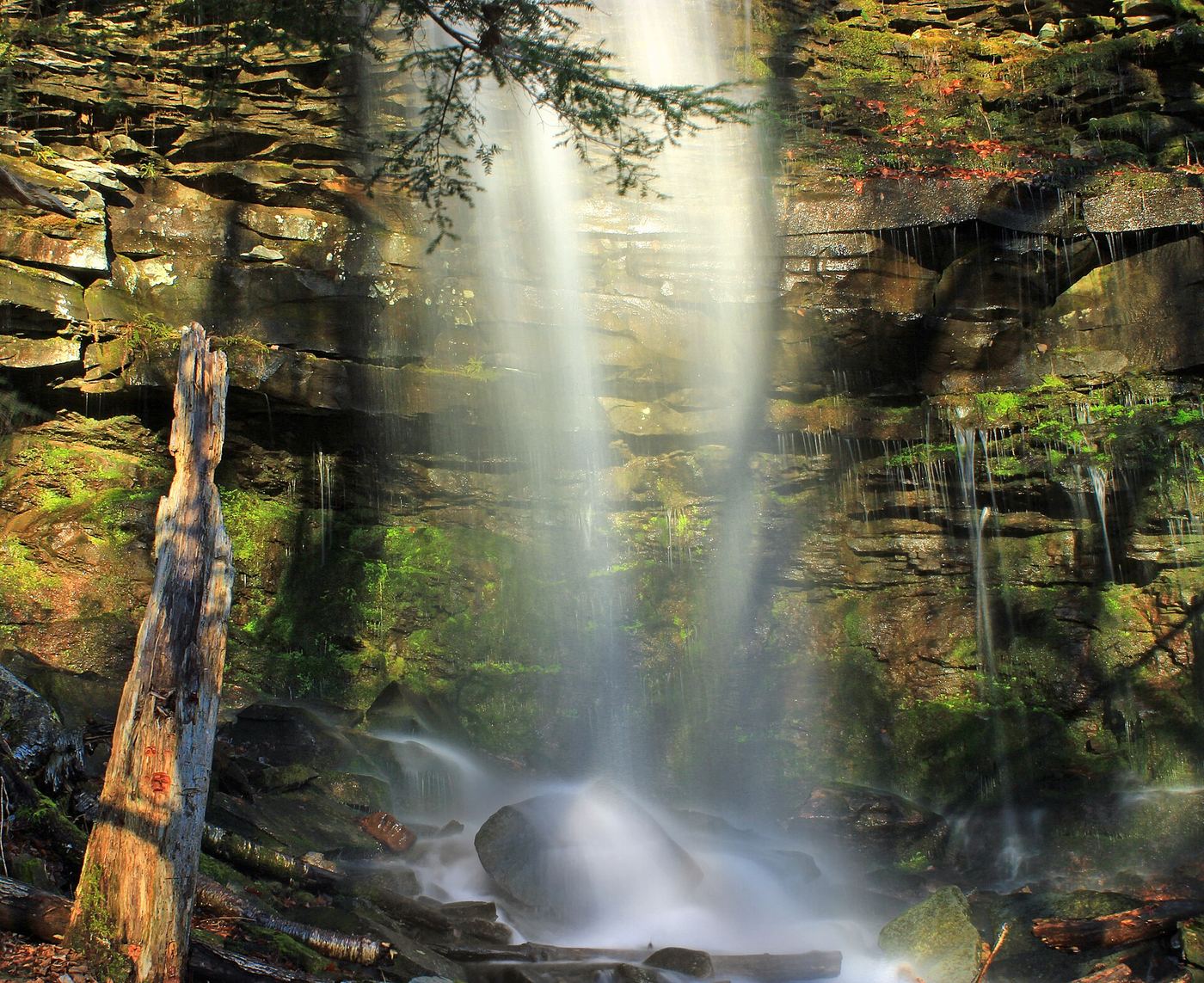
Waterfalls near Williamsport, PA
26 named waterfalls within 30 miles of Williamsport, closest first. Distances are straight-line from the town center.
Visits with route details
Read the walking route, starting point and current access notes.
 Jacoby FallsBlazed state forest trail from Wallis Run RoadLycoming County, PA
- First FallsPartial guide: last stretch follows the stream without a marked trail33 ft (10 m) · Lycoming County, PA
 Gipson FallsMarked Loyalsock Trail and spur from a trailhead lot20 ft (6.1 m) · Sullivan County, PA
- Second FallsPartial guide: off-trail scramble above the First Falls8 ft (2.3 m) · Lycoming County, PA
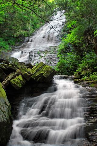 Angel FallsMarked state forest trail and parking documented70 ft (21.3 m) · Sullivan County, PA
- Third FallsPartial guide: off-trail scramble in a narrow gorge21 ft (6.3 m) · Lycoming County, PA
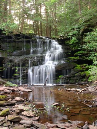 Rosecrans FallsPartial guide: informal streamside path next to a private parcelClinton County, PA
- Mill Creek FallsShort blazed trail from a forest road pull-off13 ft (4 m) · Sullivan County, PA
- Upper Middle Branch FallsPartial guide: short creekside approach with no described trail12 ft (3.6 m) · Sullivan County, PA
- Lower Middle Branch FallsPartial guide: a short streamside walk with no named or marked trail described20 ft (6 m) · Sullivan County, PA
- Dry Run FallsRoadside falls with a parking lot and picnic areaSullivan County, PA
- East Branch FallsPartial guide: unmarked pull-off and footpath on state forest land25 ft (7.5 m) · Sullivan County, PA
- Old Bark FallsPartial guide: falls are off trail and not named in the sourcesSullivan County, PA
- Triple FallsPartial guide: about a quarter mile of the approach is off trail25 ft (7.5 m) · Sullivan County, PA
- Emerald FallsPartial guide: route includes an unmarked off-trail section15 ft (4.5 m) · Sullivan County, PA
- Armstrong-Rode FallsPartial guide: source route uses an off-trail creek section; listing name differs from the source name10 ft (3 m) · Sullivan County, PA
- Lee's FallsPartial guide: part of the approach is an unblazed path between the Ketchum Run Trail and the Loyalsock Trail13 ft (4 m) · Sullivan County, PA
- Cottonwood FallsShort marked loop trail from PA 154 near the Worlds End chapelSullivan County, PA
- Rusty Run FallsPartial guide: last part is off trail along the streamSullivan County, PA
- High Rock FallsPartial guide: official trail; trailhead parking not confirmed; seasonal flow26 ft (8 m) · Sullivan County, PA
- Cold Run WaterfallPartial guide: the exact drop this listing marks is not confirmed, and the Cold Run Trail is not on the park mapSullivan County, PA
- Alpine FallsPartial guide: the approach uses an old log road, and the base view needs a short off-trail scrambleSullivan County, PA
 Tamarack FallsPartial guide: unmarked old grade and creekside path; no established parking23 ft (7 m) · Sullivan County, PA
Closest with a photo
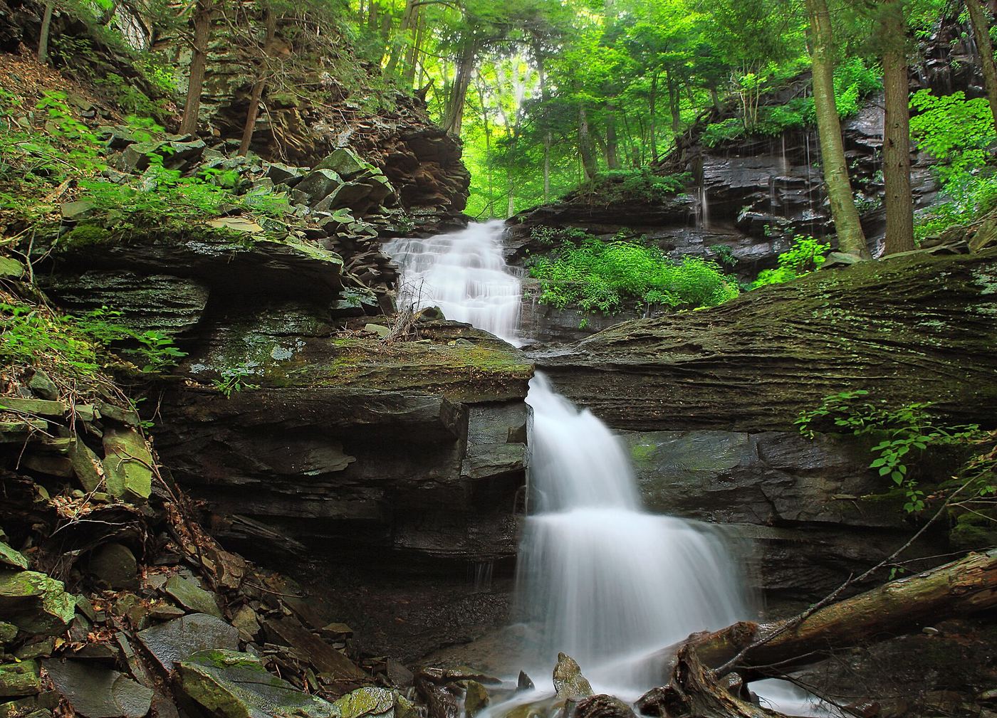
Photo credit
Photo: Nicholas A. Tonelli from Northeast Pennsylvania, USA, CC BY 2.0, via Wikimedia Commons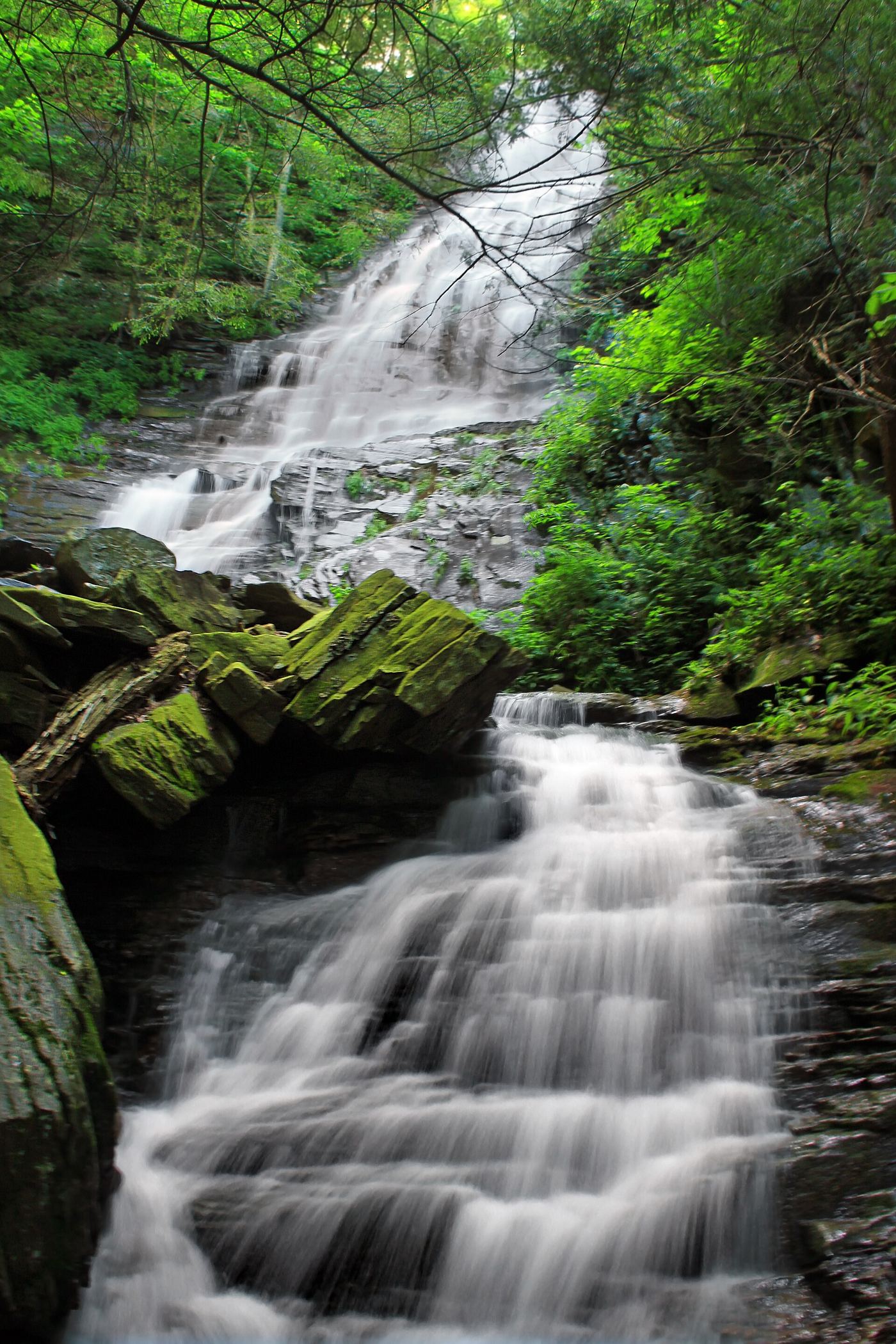
Photo credit
Photo: Nicholas A. Tonelli from Northeast Pennsylvania, USA, CC BY 2.0, via Wikimedia CommonsAll 26 waterfalls
- Jacoby FallsBlazed state forest trail from Wallis Run RoadLycoming County, PA12 miNE
- First FallsPartial guide: last stretch follows the stream without a marked trail33 ft (10 m) · Lycoming County, PA20 miN
- Gipson FallsMarked Loyalsock Trail and spur from a trailhead lot20 ft (6.1 m) · Sullivan County, PA20 miNE
- Second FallsPartial guide: off-trail scramble above the First Falls8 ft (2.3 m) · Lycoming County, PA20 miN
- Angel FallsMarked state forest trail and parking documented70 ft (21.3 m) · Sullivan County, PA20 miNE
- Third FallsPartial guide: off-trail scramble in a narrow gorge21 ft (6.3 m) · Lycoming County, PA20 miN
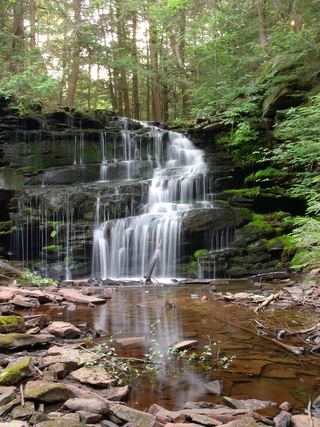 Rosecran FallsClinton County, PA20 miSW
- Rosecrans FallsPartial guide: informal streamside path next to a private parcelClinton County, PA20 miSW
- Mill Creek FallsShort blazed trail from a forest road pull-off13 ft (4 m) · Sullivan County, PA21 miNE
- Andrea FallsSullivan County, PA21 miNE
- Upper Middle Branch FallsPartial guide: short creekside approach with no described trail12 ft (3.6 m) · Sullivan County, PA21 miNE
- Lower Middle Branch FallsPartial guide: a short streamside walk with no named or marked trail described20 ft (6 m) · Sullivan County, PA21 miNE
- Dry Run FallsRoadside falls with a parking lot and picnic areaSullivan County, PA22 miNE
- East Branch FallsPartial guide: unmarked pull-off and footpath on state forest land25 ft (7.5 m) · Sullivan County, PA22 miNE
- Old Bark FallsPartial guide: falls are off trail and not named in the sourcesSullivan County, PA22 miNE
- Triple FallsPartial guide: about a quarter mile of the approach is off trail25 ft (7.5 m) · Sullivan County, PA22 miNE
- Emerald FallsPartial guide: route includes an unmarked off-trail section15 ft (4.5 m) · Sullivan County, PA22 miNE
- Wenonah FallsSullivan County, PA24 miNE
- Armstrong-Rode FallsPartial guide: source route uses an off-trail creek section; listing name differs from the source name10 ft (3 m) · Sullivan County, PA24 miNE
- Lee's FallsPartial guide: part of the approach is an unblazed path between the Ketchum Run Trail and the Loyalsock Trail13 ft (4 m) · Sullivan County, PA24 miNE
- Cottonwood FallsShort marked loop trail from PA 154 near the Worlds End chapelSullivan County, PA26 miNE
- Rusty Run FallsPartial guide: last part is off trail along the streamSullivan County, PA26 miNE
- High Rock FallsPartial guide: official trail; trailhead parking not confirmed; seasonal flow26 ft (8 m) · Sullivan County, PA27 miNE
- Cold Run WaterfallPartial guide: the exact drop this listing marks is not confirmed, and the Cold Run Trail is not on the park mapSullivan County, PA27 miNE
- Alpine FallsPartial guide: the approach uses an old log road, and the base view needs a short off-trail scrambleSullivan County, PA28 miNE
- Tamarack FallsPartial guide: unmarked old grade and creekside path; no established parking23 ft (7 m) · Sullivan County, PA29 miNE