Vermont
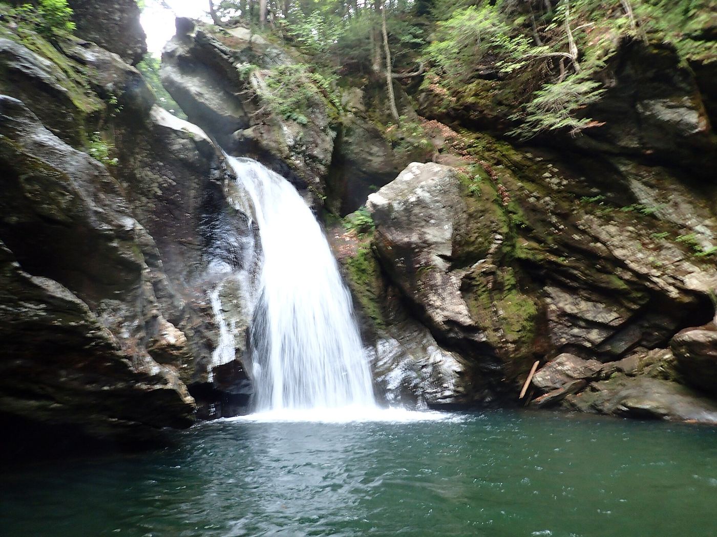
Bingham Falls
About ¼ mile one way downhill
Descend from Route 108 to the falls, staying away from the gorge edges.
Compare 23 Vermont waterfall visits by the approach, terrain, and where to start. Some routes have closures or unresolved details; read the individual guide before travelling.
23 visit options
Vermont
About ¼ mile one way downhill
Descend from Route 108 to the falls, staying away from the gorge edges.
Vermont
Walking distance not confirmed
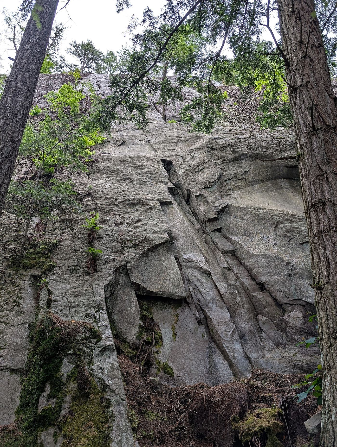
Follow the old carriage-road trail uphill from the Silver Lake/Falls of Lana parking area on Route 53. The trail passes the waterfall before continuing to Silver Lake.
Guide: 6-mile state park round trip to a tall, dangerous falls
Vermont
6 miles round trip (Vermont Forests, Parks and Recreation)
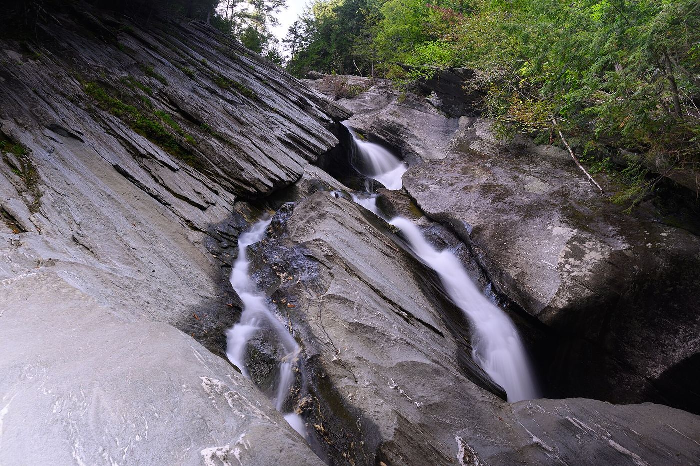
Hamilton Falls is a 125-foot waterfall on Cobb Brook in Hamilton Falls State Natural Area, next to Jamaica State Park. From the park, follow the West River Trail, a former railroad bed, upstream about 2 miles. Before Cobb Brook, turn onto the blue-blazed Switch Road Trail, which runs 1.1 miles to the base of the falls. Return the same way. The state warns that the rocks are very slippery, swimming is very dangerous, and visitors should not try to reach the middle pool; more than 12 people have died here. Stay on marked trails in the protected natural area.
Partial guide: town footbridge view; parking not described
Vermont
Viewpoint from a town footbridge; no walking distance given
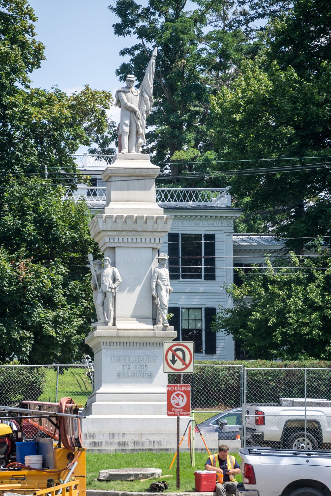
Middlebury Falls is a large waterfall on Otter Creek in the center of downtown Middlebury, beside the historic triple-arch stone bridge on Main Street. The falls, the ledges and the stone bridge can all be seen from the Marble Works Memorial Bridge, a pedestrian footbridge just below the falls. The footbridge was given to the town for public use; its north end is on Maple Street. The riverbed is mostly white marble, visible in late summer when the water is low.
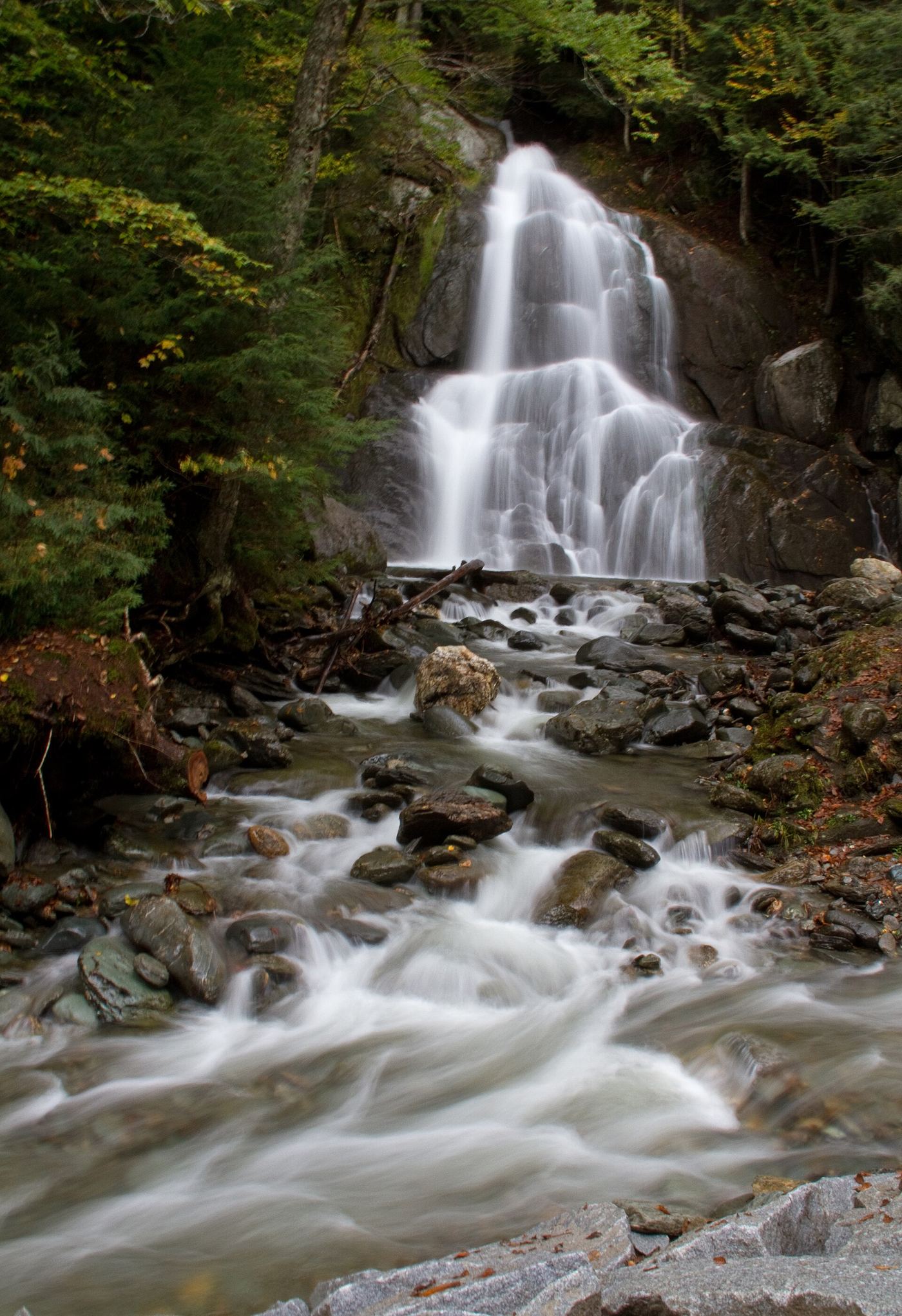
Partial: state land viewpoint documented; footbridge on the trail reported closed, current status unconfirmed
Vermont
0.2 mile round trip (Trail Finder)
Moss Glen Falls in Granville drops about 80 feet where Deer Hollow Brook joins Alder Meadow Brook, in the state-owned Granville Gulf Reservation beside VT 100. The falls are visible from VT 100. A short trail starts from the parking pull-off on VT 100, crosses a wide wooden footbridge and continues on a fairly level gravel path to a viewing platform. A news report said the footbridge was closed after flood damage and a replacement was planned; whether the trail is open now is not confirmed. Without the bridge, visitors were viewing the falls from the side of busy VT 100.
Guide: city river walk beside the falls
Vermont
0.6 mile one way for the whole River Walk; the falls are at the downtown end
Winooski Falls is a series of falls over ledges on the Winooski River in downtown Winooski. The city River Walk is a concrete walkway along the falls beside the historic Champlain Mill and Woolen Mill. Start off Main Street near the start of the Winooski/Burlington bridge and follow the walkway along the river; it ends at the woods, where dirt trails continue.
Roadside falls on town land; small pull-offs, strict parking rules
Vermont
Roadside view; no walking distance given
Bartlett Falls is a 15-foot block-style waterfall on the New Haven River with a large swimming pool, on property owned by the Town of Bristol per New England Waterfalls. Turn east onto Lincoln Gap Road from VT 116 about a mile north of Bristol. The falls are visible on the right side of the road about a quarter mile from VT 116. Park only in the small pull-offs at the west end of Lincoln Road. The sources do not describe the path from the pull-offs down to the pool.
Location map; no photo available.
Partial guide: public trail; parking spot and exact lower-falls position not described
Vermont
0.5-mile trail to the falls (Vermont River Conservancy)
Buttermilk Falls is a series of waterfalls and swimming pools on Branch Brook in Ludlow. The site is owned by the Vermont Department of Forests, Parks and Recreation, and the Vermont River Conservancy says public access is allowed. From Ludlow, take Route 100 north, turn left on Route 103, and turn right after about 1.5 miles onto Buttermilk Falls Road; follow it to the end. The falls and the brook are along the abandoned stretch of old Route 103, and a short trail leads to them. The lower falls drops into a deep pool about 25 feet wide. No source says exactly where on the trail the lower falls is.
Location map; no photo available.
Short public trail; position of the upper falls on the trail not described
Vermont
About 0.5 miles per the Vermont River Conservancy
Buttermilk Falls on Branch Brook has upper, middle and lower falls, each with pools. The upper falls, sometimes called Bridal Veil Falls, is split into two drops of 12 to 15 feet over a large pool. The site is owned by the Vermont Department of Forests, Parks and Recreation, and the Vermont River Conservancy holds an easement for public access. Islands says the half-mile trail starts near the parking area on Buttermilk Falls Road, off Route 103, and runs along Branch Brook. The sources do not say where along the trail the upper falls sit.
Location map; no photo available.
Town-listed short path and roadside pull-off documented
Vermont
0.1 mile one way (New England Waterfalls)
Dog's Head Falls is about 6 feet of powerful cascades on the Lamoille River in Johnson, named for a rock profile like a dog's head just below. The Town of Johnson lists it among its green spaces and says it is reached by a short, easy walk from a pull-off on East River Road. From the pull-off, walk through a small field, bear left into a short wooded stretch, and cross rocky ledge to the falls. Return the same way.
Location map; no photo available.
Roadside view from a marked picnic and fishing access area
Vermont
Roadside; New England Waterfalls says the falls are fully visible from the parking area, or under 0.1 mile from River Road
Fairfax Falls is an approximately 80-foot drop on the Lamoille River in Fairfax, used for a hydroelectric dam with a power station beside it. The falls can be seen from VT 104, but the view is much better from the marked picnic and fishing access area off River Road. From VT 104 south, cross the bridge at the top of the dam, turn left onto River Road and follow it 0.2 mile to the access road on the left. The access road is about 300 feet long and usually very rough. New England Waterfalls says the falls are fully visible from the parking area there. Swimming is not possible or not allowed.
Location map; no photo available.
State park trail route documented; distance to the falls not stated
Vermont
No separate distance given; the falls are on the lower part of the 5.2-mile out-and-back Windsor Trail summit hike (Trailspotting)
Gerry's Falls is a seasonal series of drops totaling about 100 feet on Mountain Brook, on the east side of Mount Ascutney in Ascutney State Park. From the Windsor Trailhead, the Windsor Trail crosses a meadow, enters the forest and climbs an old roadbed along the drainage to a sign for the falls. A plaque near the falls names George Nelson Gerry. Return the same way, or continue up the Windsor Trail toward the summit.
Location map; no photo available.
Short town forest trail from Lake Morey Road
Vermont
0.8 miles per Michael's New England Hiking
Glen Falls, also called Cave Falls, is a 25-foot plunge through a narrow gap into a round pool on Glen Falls Brook in the Fairlee Town Forest. Michael's New England Hiking says to park in the Cross Rivendell Trail hiker lot across Lake Morey Road from the boat launch. The trail to the falls does not start at that lot; it starts a little farther up the road, directly across from the tennis court. That is the shortest and gentlest path to the falls. Return the same way. More cascades lie above the main falls.
Location map; no photo available.
Public overlook above a dangerous gorge; path from parking not described
Vermont
Short walk; no distance given
Huntington Gorge is a series of pools, chutes and waterfalls where the Huntington River cuts through bedrock in Richmond. The Vermont River Conservancy lists public access to a scenic overlook directly above the gorge, cared for by the Richmond Land Trust. It warns that rushing water and steep cliffs here are extremely dangerous, that more than two dozen people have died, and asks people to consider safer places to swim. Park only in the marked areas of Dugway Road closest to the river. The path from the parking to the overlook is not described.
Location map; no photo available.
Partial guide: short walk to an accessible deck; general parking spot not named
Vermont
About 250 feet; under 0.1 mile one way
The LaPlatte River falls are low cascades and slides, with a main drop of about 5 feet, in the town-owned LaPlatte Nature Park in Shelburne. From US-7, turn onto Falls Road and follow it to the bridge over the LaPlatte River. Walk north along the dirt road that runs downstream from the bridge, with the river on your right. After about 250 feet, a spur trail on the right leads to a handicap-accessible observation deck with a good view of the falls. You can scramble down to the base, but it is slippery.
Location map; no photo available.
Researched route and starting area
Vermont
1.8 miles to the spur junction; full waterfall distance unknown.
Follow the blue-blazed trail, then take the falls spur on the right at 1.8 miles.
Location map; no photo available.
Partial guide: short rough path from a street pull-off; land ownership not confirmed
Vermont
Less than 0.1 mile; about 200 feet on a rough path, per New England Waterfalls
Mead's Falls (also called Meade's Falls, Old Falls, Gookin's Falls or Center Rutland Falls) is about 15 feet of cascades below an 8-foot dam on Otter Creek in Center Rutland, with a steel truss railroad bridge directly above. From US-4 Business, turn right onto the eastern end of Simons Avenue just before the bridge over Otter Creek, drive 300 feet and park in the paved pull-off where the road bends right. Follow a rough path about 200 feet toward the steel bridge for head-on views of the dam and falls. More views are reached by a short path from Old Falls Road, the street on the right just after crossing Otter Creek on US-4 Business. New England Waterfalls could not tell whether the land is private property, so who owns the path is not confirmed.
Location map; no photo available.
Short state forest trail from Moss Glen Falls Road
Vermont
0.50 miles round trip per Trail Finder
Moss Glen Falls cascades about 125 feet through a gorge on Moss Glen Brook. From Stowe village, go north on VT 100 for 3 miles and bear right onto Randolph Road. Turn right onto Moss Glen Falls Road and drive about half a mile to the parking area. Follow the brook upstream on the trail, which uses bog bridging over wet ground. At a fork, the left branch climbs a steeper, rooty path to a viewpoint above the falls, and the right branch follows the edge of the stream to the base. Return the same way.
Location map; no photo available.
Partial: roadside viewpoint on private hydro property where the public is welcome to view, per a guidebook site
Vermont
Roadside; the falls are visible from the parking area (New England Waterfalls)
This listing is the waterfall on Otter Creek in Proctor known as Proctor Falls or Sutherland Falls. A hydroelectric station diverts most of the creek, so the falls are often low and are fullest at high water or after dam releases. From VT 3, turn onto Patch Street, then take a dirt road that runs beside a fenced water treatment facility to a parking area with a view of the falls on the left. New England Waterfalls says the site is private property at the Proctor Hydro Station but that the public is currently welcome to view the falls.
Location map; no photo available.
Partial guide: town park beside the falls; path to a viewpoint not described
Vermont
Short walk from the park to the river; no distance is published
Sumner Falls (also called Hartland Rapids) is a series of ledges spread across a wide section of the Connecticut River in Hartland. The Town of Hartland lists Sumner's Falls at 404 Route 5 as a 55-acre public parcel bordering the river, with hiking trails, picnic tables and a portable toilet. From I-91 exit 9, go left and through Hartland center on US-5 north, cross back over I-91 and then a railroad bridge, and take the second right, about 200 yards past the railroad bridge, onto a small dirt road to its end. A wooden kiosk with park information stands a few feet down that road. The paddling description says a clearly marked portage trail starts at the put-in. The exact path to a viewpoint of the ledges is not described. The water level can change quickly when upstream dams release water.
Location map; no photo available.
Vermont
1.2-mile loop
Follow the nature trail along Texas Brook and return through the forest. Stay out of the restricted water.
Location map; no photo available.
National forest accessible trail route and parking documented
Vermont
0.3 mile one way (Trail Finder)
Thundering Brook Falls, also called Thundering Falls, drops about 140 feet through a narrow cataract on Kent Brook in the Green Mountain National Forest. From the River Road parking area, the Appalachian Trail crosses the open Ottauquechee River floodplain on about 900 feet of boardwalk, then climbs by an accessible switchback and spur trail to a viewing platform at the base of the falls. This is one of the few sections of the Appalachian Trail built to accessibility standards. Return the same way, or continue up the Appalachian Trail about 0.2 mile to a small parking lot on Thundering Brook Road.
Location map; no photo available.
Researched walking route
Vermont
Short path; distance unknown
The Mad River Valley Chamber identifies a direct path from the Route 100 lot to Warren Falls.
Location map; no photo available.