Fairfax Falls
Franklin County, Vermont
Your visit at a glance
- Waterfall height
- Not recorded
- Location
- Franklin County, Vermont
- Access status
- Roadside view from a marked picnic and fishing access area
- The walk
- Roadside; New England Waterfalls says the falls are fully visible from the parking area, or under 0.1 mile from River Road
- Ground & access
- Roadside view. The short access road is rough; on foot it drops about 30 feet.
Fairfax Falls is an approximately 80-foot drop on the Lamoille River in Fairfax, used for a hydroelectric dam with a power station beside it. The falls can be seen from VT 104, but the view is much better from the marked picnic and fishing access area off River Road. From VT 104 south, cross the bridge at the top of the dam, turn left onto River Road and follow it 0.2 mile to the access road on the left. The access road is about 300 feet long and usually very rough. New England Waterfalls says the falls are fully visible from the parking area there. Swimming is not possible or not allowed.
Plan your visit
Marked Fairfax Falls Picnic and Fishing Access Area off River Road, across the dam-top bridge from VT 104 in Fairfax
New England Waterfalls lists the visit as roadside, or less than 0.1 mile one way (about 3 minutes, down 30 feet) if you park on River Road because your vehicle cannot manage the access road.
Roadside view. The short access road is rough; on foot it drops about 30 feet.
Where to start
Marked Fairfax Falls Picnic and Fishing Access Area at the end of a short rough road off River Road; New England Waterfalls says it likely needs a high-clearance vehicle. Otherwise use the one parking spot on River Road beside the start of that road.
Timing & water
New England Waterfalls suggests May to October. Spring runoff gives the strongest flow.
Before you go
New England Waterfalls lists the visit as free. Dogs allowed.
Visitor informationVisit sources
More waterfalls nearby
Within 40 straight-line miles. Road and trail distances will differ.
- Five ChutesFranklin County, VT4.5 miNW
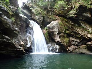 Bingham FallsResearched visit notesLamoille County, VT14 miSE
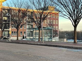 Winooski FallsGuide: city river walk beside the fallsChittenden County, VT15 miSW
- Sloping FallsLamoille County, VT15 miE
- GorgeLamoille County, VT15 miSE
- Dog Head FallsTown-listed short path and roadside pull-off documentedLamoille County, VT16 miE
- Olga's FallsChittenden County, VT16 miSE
- Cadys fallsLamoille County, VT19 miE
- Huntington GorgePublic overlook above a dangerous gorge; path from parking not describedChittenden County, VT20 miS