Bingham Falls
Lamoille County, Vermont
Your visit at a glance
- Waterfall height
- Not recorded
- Location
- Lamoille County, Vermont
- The walk
- About ¼ mile one way downhill
- Ground & access
- Steeper near the bottom; wet, slippery sections beside the gorge.
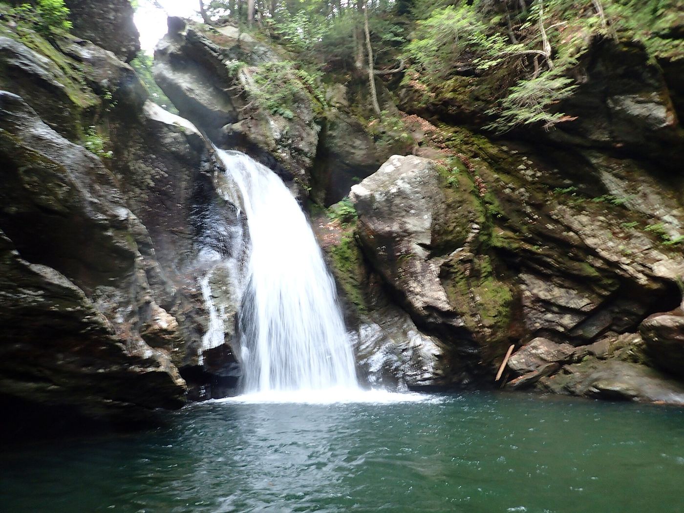
Descend from Route 108 to the falls, staying away from the gorge edges.
Plan your visit
Route 108 approach to Bingham Falls
Land trust describes a quarter-mile down to the falls; return climb is additional.
Steeper near the bottom; wet, slippery sections beside the gorge.
Where to start
Two paved pull-offs on Route 108/Mountain Road, 6.4 miles from the Route 100/108 junction in Stowe.
Timing & water
Unknown: check the manager for current trail conditions.
Before you go
Unknown: fees and booking requirements not established.
Visitor informationVisit sources
More waterfalls nearby
Within 40 straight-line miles. Road and trail distances will differ.
- GorgeLamoille County, VT2.8 miNE
- Olga's FallsChittenden County, VT6.6 miSW
- Moss Glen FallsShort state forest trail from Moss Glen Falls RoadLamoille County, VT7.4 miE
- Dog Head FallsTown-listed short path and roadside pull-off documentedLamoille County, VT8.5 miNE
- Sloping FallsLamoille County, VT8.7 miNE
- Cadys fallsLamoille County, VT8.7 miNE
- Huntington GorgePublic overlook above a dangerous gorge; path from parking not describedChittenden County, VT14 miSW
- Fairfax FallsRoadside view from a marked picnic and fishing access areaFranklin County, VT14 miNW
- Five ChutesFranklin County, VT19 miNW