LaPlatte River Falls
Chittenden County, Vermont
Your visit at a glance
- Waterfall height
- Not recorded
- Location
- Chittenden County, Vermont
- Access status
- Partial guide: short walk to an accessible deck; general parking spot not named
- The walk
- About 250 feet; under 0.1 mile one way
- Ground & access
- Short, level dirt road and spur to an accessible deck. The scramble to the base is slippery.
The LaPlatte River falls are low cascades and slides, with a main drop of about 5 feet, in the town-owned LaPlatte Nature Park in Shelburne. From US-7, turn onto Falls Road and follow it to the bridge over the LaPlatte River. Walk north along the dirt road that runs downstream from the bridge, with the river on your right. After about 250 feet, a spur trail on the right leads to a handicap-accessible observation deck with a good view of the falls. You can scramble down to the base, but it is slippery.
Plan your visit
Falls Road bridge over the LaPlatte River, dirt road north (downstream) along the river, then a spur trail to the accessible observation deck
New England Waterfalls gives the trail as less than 0.1 mile, about 5 minutes one way, with the spur to the deck after about 250 feet.
Short, level dirt road and spur to an accessible deck. The scramble to the base is slippery.
Where to start
Only vehicles with a handicap permit may drive and park on the road down to the falls. Other visitors must find legal parking near the bridge; no specific lot is named. The town trail map marks parking areas for the park.
Timing & water
The guide suggests May to October.
Before you go
No fee is mentioned. No booking is needed.
Visitor informationVisit sources
More waterfalls nearby
Within 40 straight-line miles. Road and trail distances will differ.
 Winooski FallsGuide: city river walk beside the fallsChittenden County, VT8.3 miN
- Huntington GorgePublic overlook above a dangerous gorge; path from parking not describedChittenden County, VT12 miE
- Alice FallsShort path to the base beside a hydro facilityEssex County, NY16 miNW
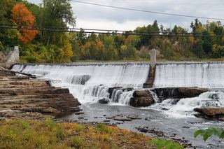 Rainbow FallsFree view from the US 9 bridge; paid chasm trailsEssex County, NY16 miNW
- Horseshoe FallsPartial guide: free bridge view; parking for the view not statedEssex County, NY16 miNW
- Bartlett FallsRoadside falls on town land; small pull-offs, strict parking rules15 ft (4.6 m) · Addison County, VT19 miSE
- Olga's FallsChittenden County, VT19 miE
- Dog Team Falls7 ft (2 m) · Addison County, VT21 miS
- Fairfax FallsRoadside view from a marked picnic and fishing access areaFranklin County, VT22 miNE