Texas Falls
Addison County, Vermont
Your visit at a glance
- Waterfall height
- Not recorded
- Location
- Addison County, Vermont
- The walk
- 1.2-mile loop
- Ground & access
- Forest loop with 70 feet of elevation change; footbridge at the falls area.
Follow the nature trail along Texas Brook and return through the forest. Stay out of the restricted water.
Plan your visit
Texas Falls Nature Trail
USFS explicitly describes a 1.2-mile loop with 70 feet of elevation change.
Forest loop with 70 feet of elevation change; footbridge at the falls area.
Where to start
Falls Observation Site parking is 0.5 mile along Forest Road 39 from Route 125; picnic parking is farther along.
Timing & water
Winter gate closes; road is plowed for parking up to the gate. Texas Brook water-entry restriction remains listed on 2026-10-27.
Before you go
Unknown: fees and booking requirements not established.
Visitor informationMore waterfalls nearby
Within 40 straight-line miles. Road and trail distances will differ.
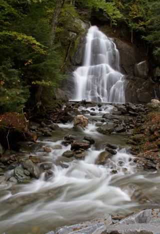 Moss Glen FallsPartial: state land viewpoint documented; footbridge on the trail reported closed, current status unconfirmedAddison County, VT6.3 miNE
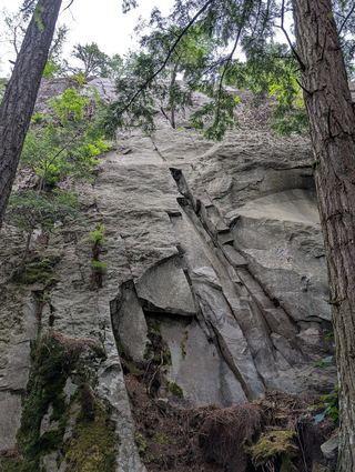 Falls of LanaResearched visit notesAddison County, VT8.3 miW
- Warren FallsResearched walking routeWashington County, VT11 miN
- Abbey Pond Cascades (upper)Addison County, VT11 miNW
- Abbey Pond Cascades (lower)Addison County, VT11 miNW
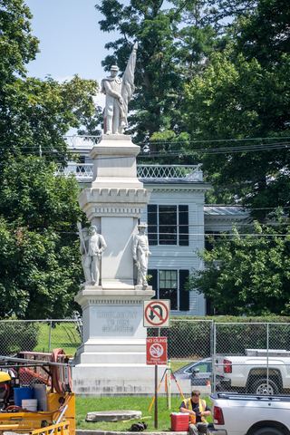 Middlebury FallsPartial guide: town footbridge view; parking not described18 ft (5.5 m) · Addison County, VT14 miW
- Bartlett FallsRoadside falls on town land; small pull-offs, strict parking rules15 ft (4.6 m) · Addison County, VT15 miNW
- Dog Team Falls7 ft (2 m) · Addison County, VT16 miNW
- Bittersweet Falls20 ft (6 m) · Addison County, VT17 miNW