WaterfallNear Me

Ohio waterfall visits

Compare 49 Ohio waterfall visits by the approach, terrain, and where to start. Some routes have closures or unresolved details; read the individual guide before travelling.

49 visit options

Ash Cave, OH

State park; paved, accessible quarter-mile trail

Ohio

Ash Cave

About 1/4 mile one way

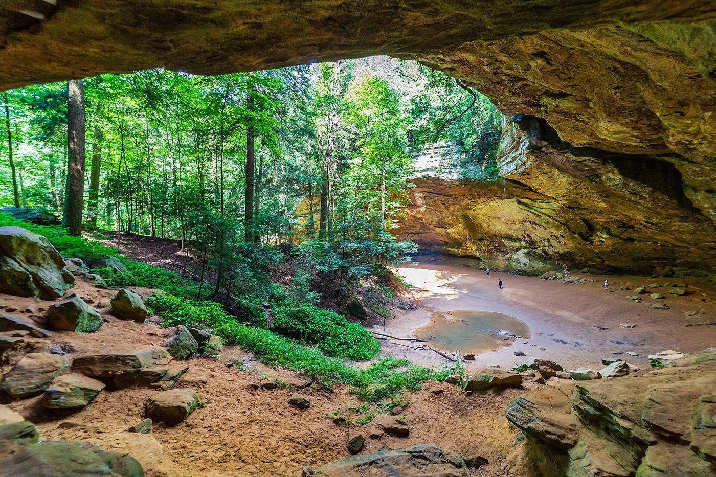
Ash Cave is the largest recess cave in Ohio, at the end of a U-shaped valley in Hocking Hills State Park. A waterfall spills from the rim high above the cave mouth into a stream on the valley floor. From the parking area on Ohio 56, follow the flat, paved Ash Cave Gorge trail through a hemlock gorge to the cave. Wooden stairs to the right of the cave lead up to the rim and the blue-blazed Buckeye Trail, which is rougher. In winter the falls often form large icicles and an ice cone at the base.
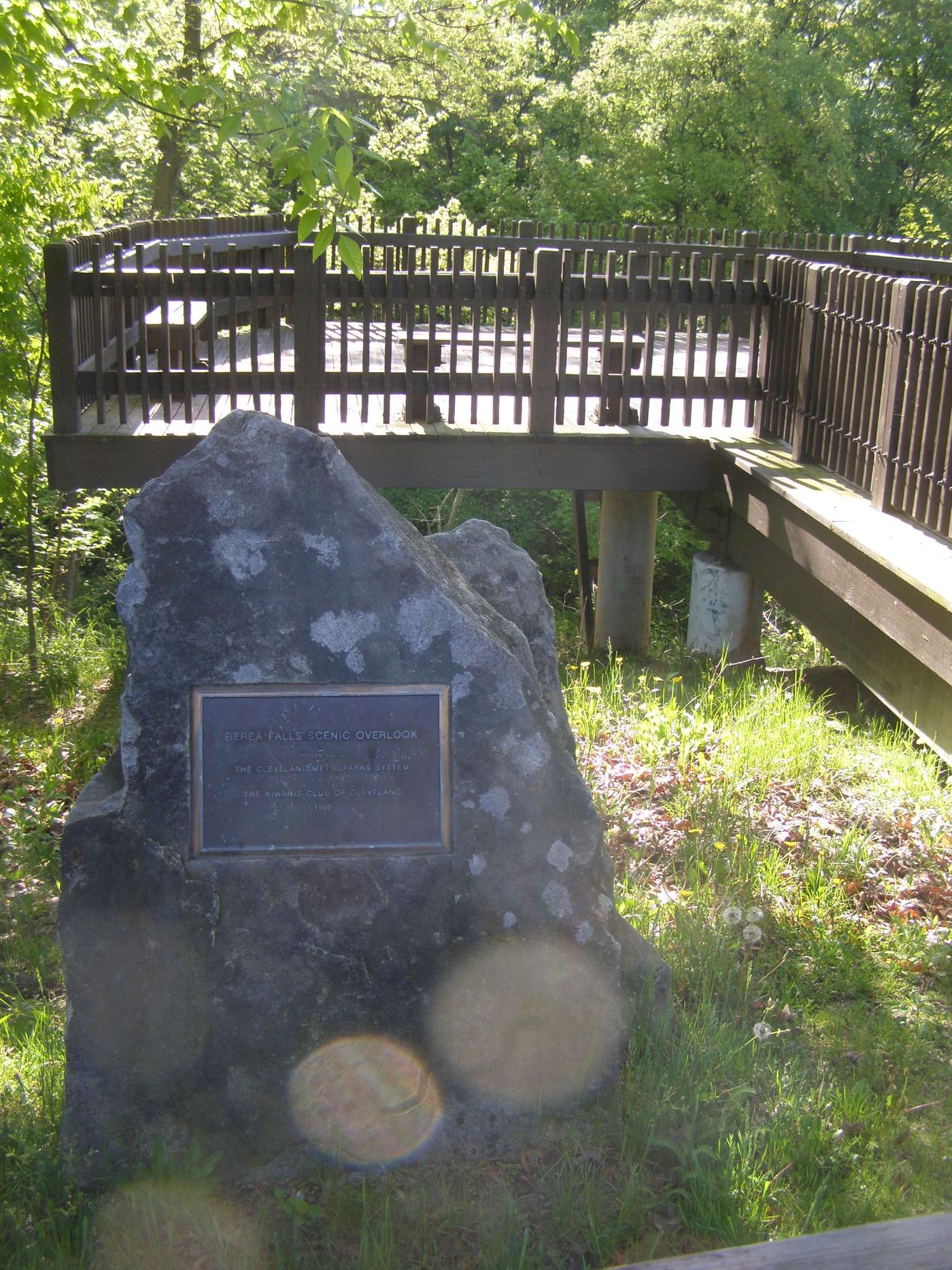
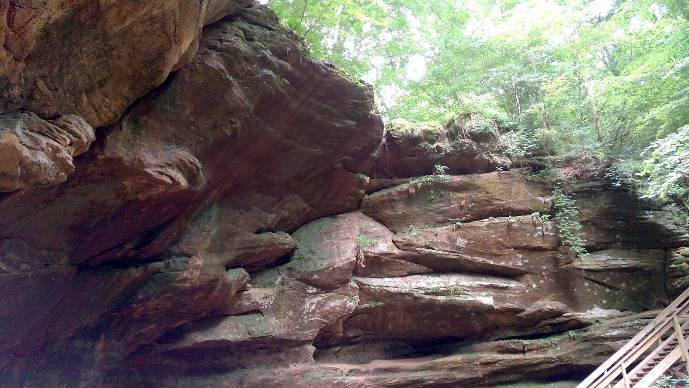
Photo creditPhoto: aparlette, CC BY 2.0, via Wikimedia Commons
Berea Falls, OH

Metroparks overlook platform beside a small parking lot

Ohio

Berea Falls

A few steps from the small parking lot to the overlook

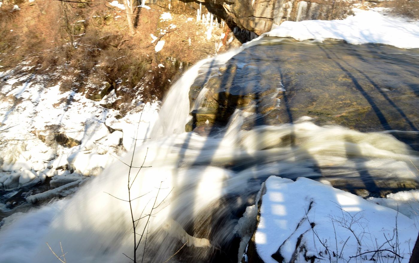
Berea Falls is a series of drops on the Rocky River in Cleveland Metroparks' Rocky River Reservation, in Berea, with old stone railroad arch bridges just beyond. The Berea Falls Scenic Overlook has a small parking lot that also serves as a staging area for cyclists. From the overlook platform you see the multiple drops from above. A trail starting near the overlook goes down to the river for closer views; it is rocky and can be muddy.

Photo creditPhoto: Chris Light, CC BY-SA 4.0, via Wikimedia Commons
Big Lyons Falls, OH

State park trail from the covered bridge lot; limited parking

Ohio

Big Lyons Falls

About 1/2 mile to the first junction, then about 1/2 mile more and a few minutes to the falls

Big Lyons Falls is an 80-foot drop over a recess cave in Mohican State Park. The Lyons Falls Trail starts beside the covered bridge, crosses a boardwalk and follows the Clear Fork upstream on an uneven path. At about 1/2 mile, turn left toward Big Lyons Falls, climb gently for another 1/2 mile, and follow the Lyons Falls sign straight ahead. The trail passes behind the falls and climbs out of the gorge to Little Lyons Falls. Flow is low except after heavy rain, and rarely flows in summer.

Photo creditPhoto: Aaron Zhu, CC BY-SA 3.0, via Wikimedia Commons
Blue Hen Falls, OH

National park trail from the Boston Mill Visitor Center

Ohio

Blue Hen Falls

3 miles round trip

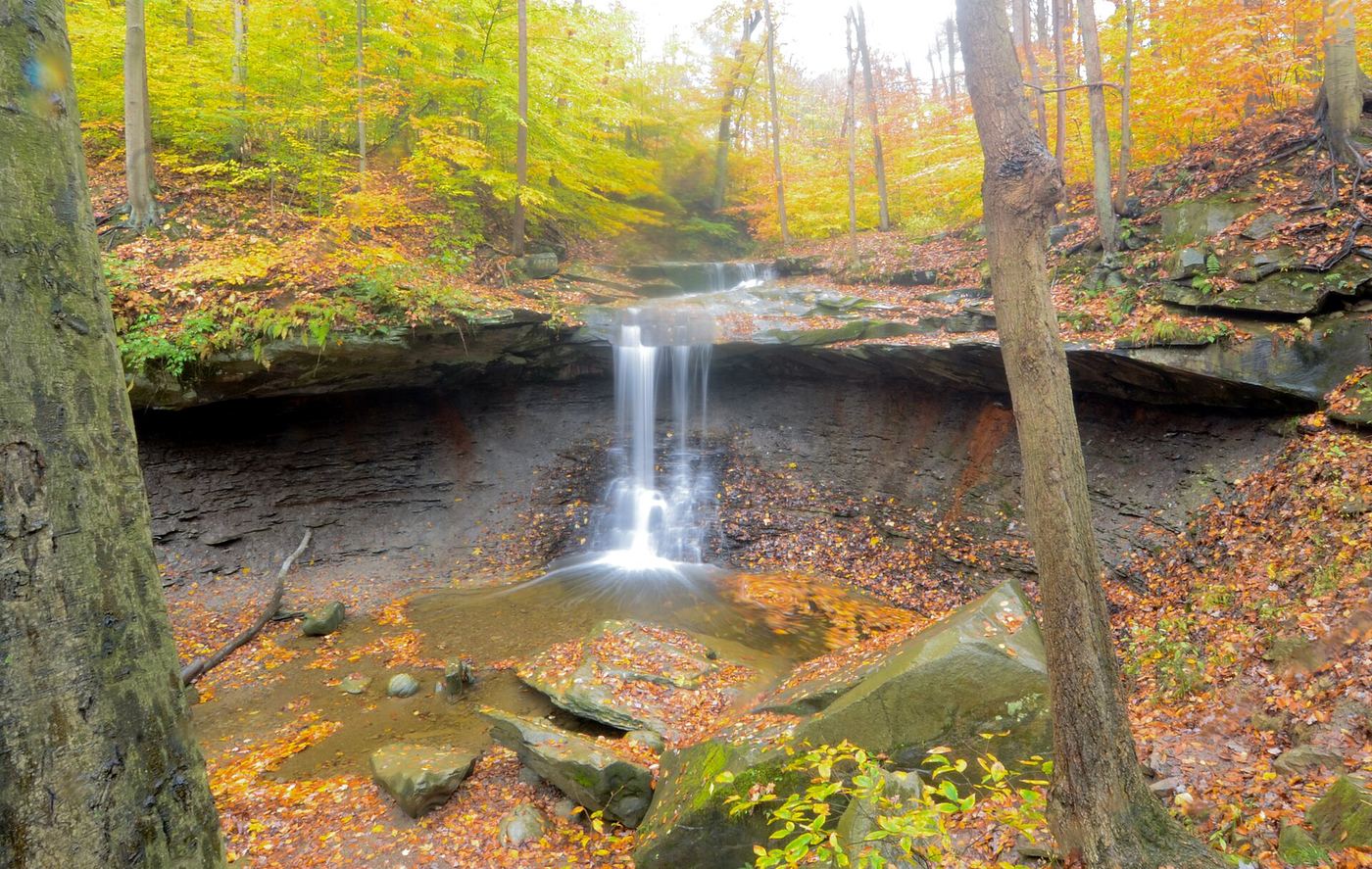
Blue Hen Falls is a 15-foot waterfall in Cuyahoga Valley National Park. From the park sign at the Boston Mill Visitor Center, follow the curved path to the Riverview and Boston Mills roads intersection, cross Riverview Road, and take the stone staircase onto the blue-blazed Buckeye Trail. The trail climbs about 200 feet, drops down a 100-foot staircase to a footbridge, climbs a second hill past a maintenance yard, crosses Boston Mills Road, and zigzags down to the waterfall overlook. Return the same way.

Photo creditPhoto: Erik Drost, CC BY 2.0, via Wikimedia Commons
Buttermilk Falls, OH

Metroparks overlook deck across the parkway from a trailhead lot

Ohio

Buttermilk Falls

A short walk across the parkway to the overlook

Buttermilk Falls is a cascade on Buttermilk Falls Creek in North Chagrin Reservation, Cleveland Metroparks, where the creek drops from Cleveland Shale to Chagrin Shale. From the Buttermilk Falls Trailhead parking, cross Buttermilk Falls Parkway to the wooden deck of the Buttermilk Falls Scenic Overlook. Return the same way, or continue on the Buttermilk Falls Loop or other trails from the trailhead.

Photo creditPhoto: Vince Reinhart, CC BY-SA 2.0, via Wikimedia Commons
Cedar Falls, OH

State park; stepped trail from the parking area to the base of the falls

Ohio

Cedar Falls

About half a mile from the lower parking lot, with about 100 steps

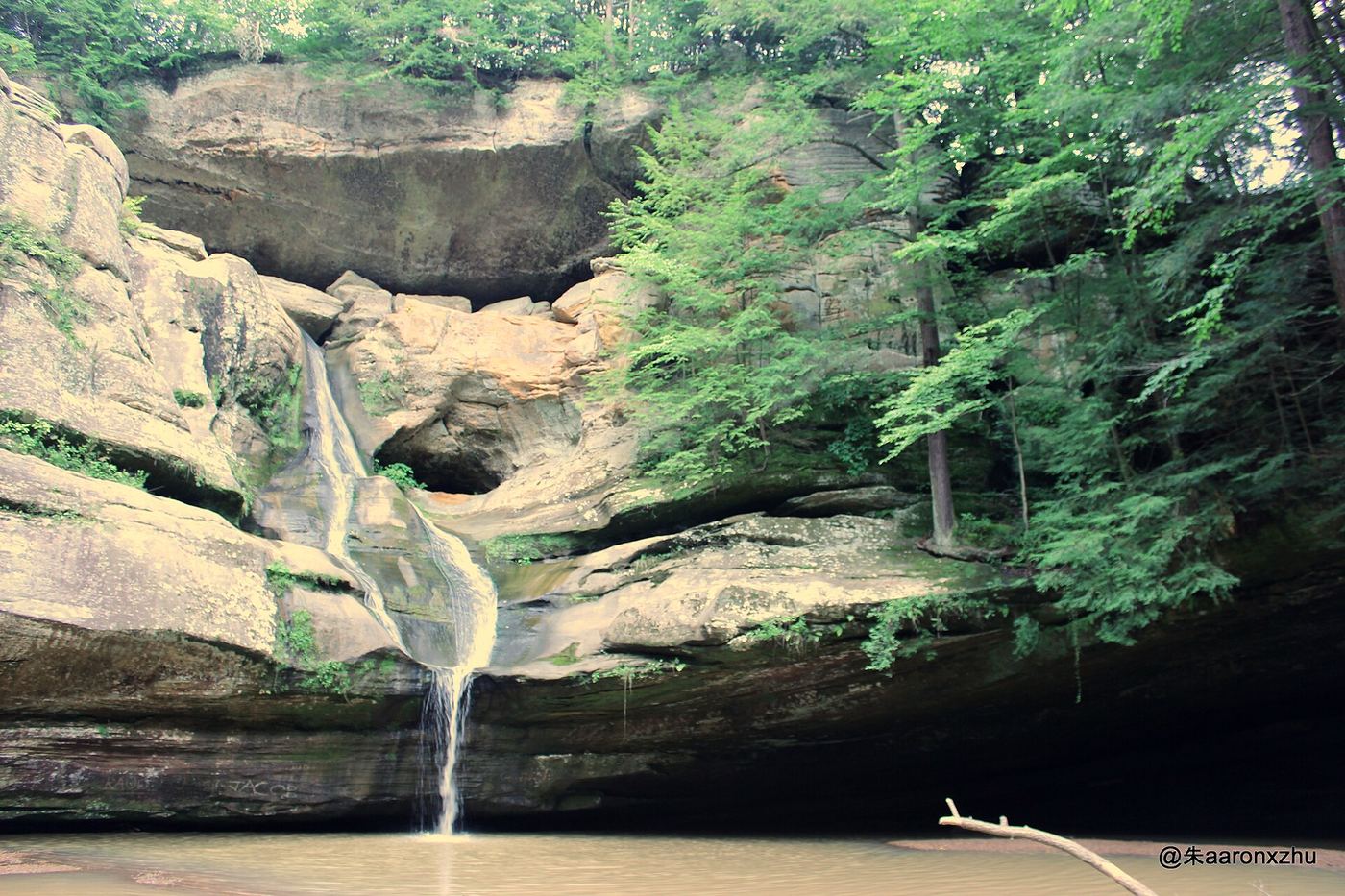
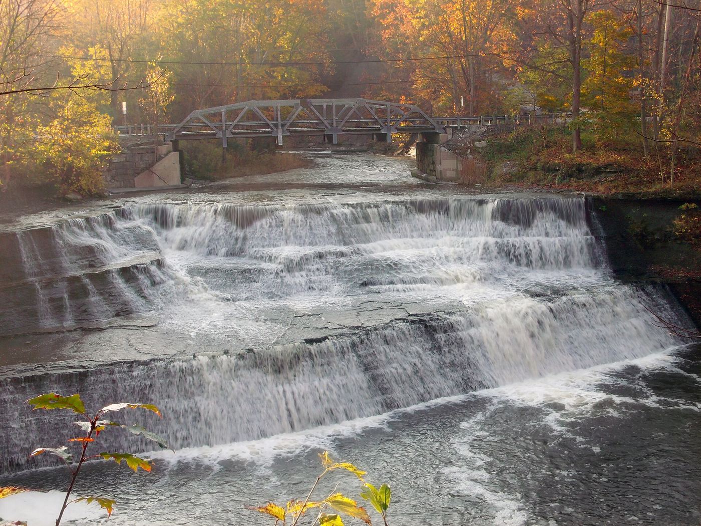
Cedar Falls is the largest waterfall by volume in the Hocking Hills, where Queer Creek pours over Blackhand sandstone into a pool with a rocky beach at the base. The main parking area is off State Route 374 and is well signed; it has a picnic area and restrooms above the falls. From the parking area, a trail and the curving Democracy Steps (nearly 100 steps) lead down into the gorge and to the falls; the trail forms a loop back to the road near the lot. A dirt Buckeye Trail lot on the west side of SR 374, north of the main lot, also leads down a flight of steps to the falls. Wading, swimming and climbing on rocks are not allowed.

Photo creditPhoto: Aaron Zhu, CC BY-SA 3.0, via Wikimedia Commons
Chagrin Falls, OH

Partial guide: village viewing area by the Main Street bridge; parking not described

Ohio

Chagrin Falls

A few flights of stairs from the street

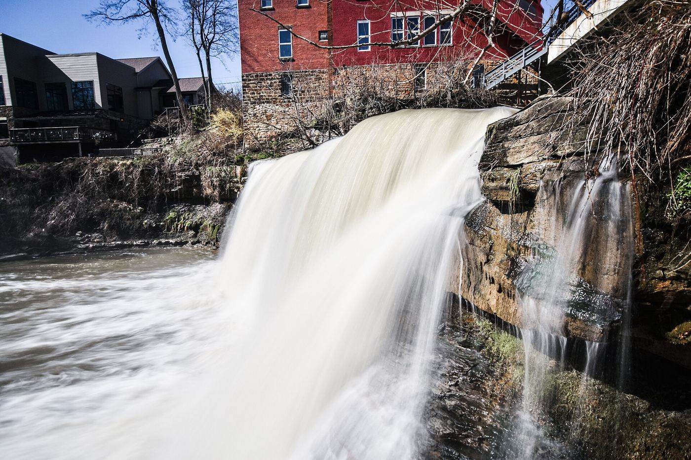
Chagrin Falls is the waterfall on the Chagrin River in the center of the village of Chagrin Falls. The village Falls Viewing Area, downtown on the west side of the Main Street bridge, gives a close view of the falls. Take one of the staircases down to the small seating area at the base. The staircases close in bad weather. Return the same way.

Photo creditPhoto: Erik Drost, CC BY 2.0, via Wikimedia Commons
Great Falls of Tinker's Creek, OH

Metroparks paved path to a wide historic falls

Ohio

Great Falls of Tinker's Creek

About 1/3 mile from the lot

The Great Falls of Tinker's Creek is a 17-foot falls that spans the width of Tinker's Creek at Viaduct Park, part of Cleveland Metroparks' Bedford Reservation. Ruins of saw and grist mills and a power plant, the 1865 viaduct and a 512-foot stone arch are nearby. From the Viaduct Park lot, follow the paved path down to the falls. It is gently downhill on the way in, with a slight climb back.

Photo creditPhoto: Michael Hinczewski, CC BY 4.0, via Wikimedia Commons
Greenville Falls, OH

Park trails and a viewing platform on the north side of the creek

Ohio

Greenville Falls

Short; the park has about one mile of trails in all

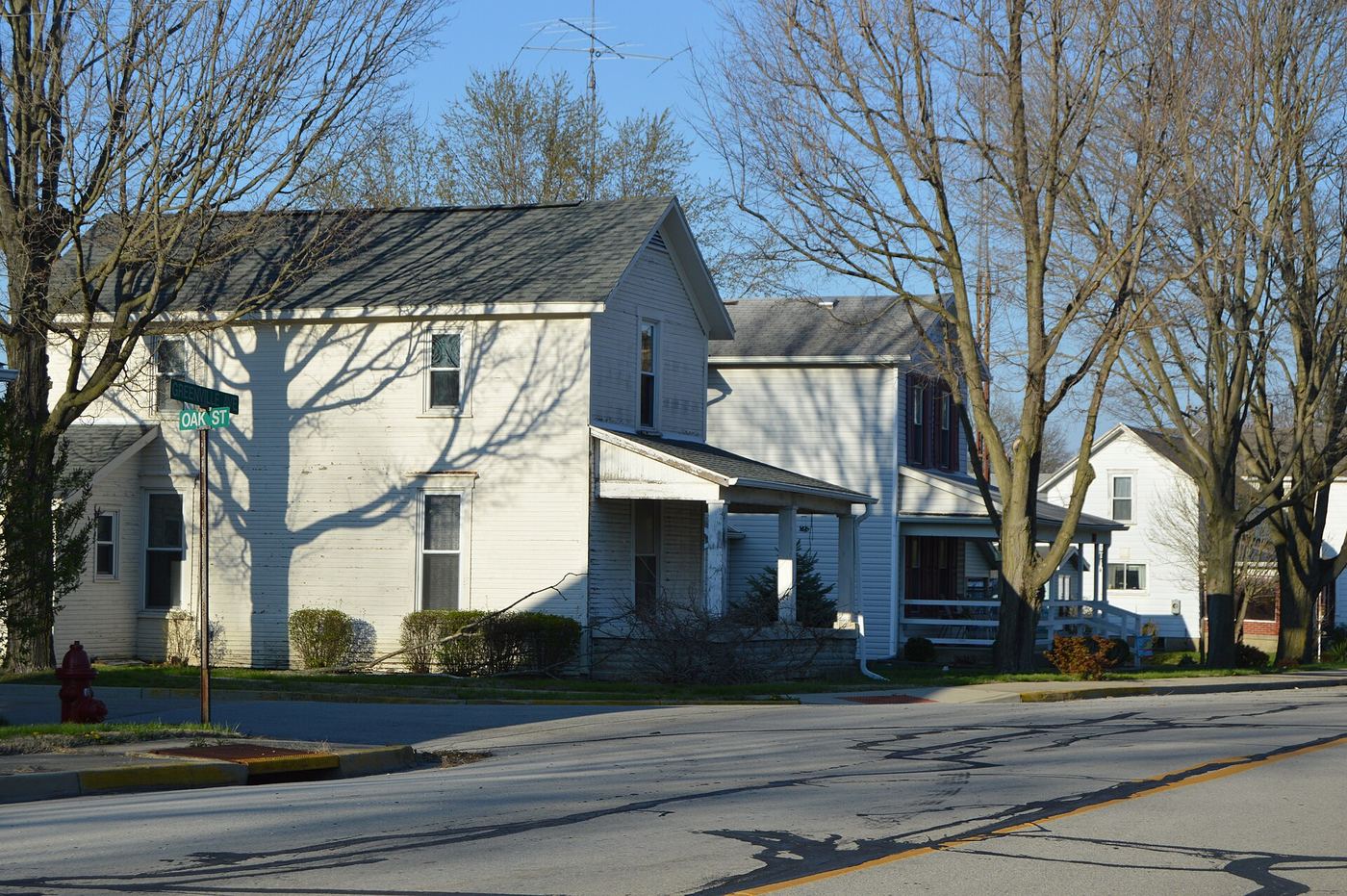
Greenville Falls is a 20-foot cascade on Greenville Creek in the 92-acre Greenville Falls State Scenic River Area, west of Covington. The park has two sections with parking lots on both sides of the creek. The north side has a wooden platform for viewing the falls and a prairie; the south side has the remains of an old electric mill, a sluice gate and views of the gorge walls, with interpretive signs. A natural limestone arch is along the river. The two listed addresses are 9140 Covington-Gettysburg Road and 4720 Rangeline Road.

Photo creditPhoto: CC BY 2.5, via Wikimedia Commons
Indian Run Falls, OH

City park overlook a short walk from a free lot

Ohio

Indian Run Falls

About five minutes from the lot to the main falls

Indian Run Falls drops about 20 feet into a small gorge in a Dublin city park tucked behind office buildings near the municipal complex. Visit Dublin Ohio says parking near 700 Shawan Falls Drive gives direct access to the main overlook, and that a longer walk starts from the Dublin Library parking garage. The paths are natural and unpaved and can be uneven, especially in winter. The park has overlook platforms, a restored 1903 stone bridge and picnic shelters.

Photo creditPhoto: Sixflashphoto, CC BY-SA 4.0, via Wikimedia Commons
Lanterman's Falls, OH

Short park path to the falls beside a historic mill

Ohio

Lanterman's Falls

A short walk from the lot to the falls and mill

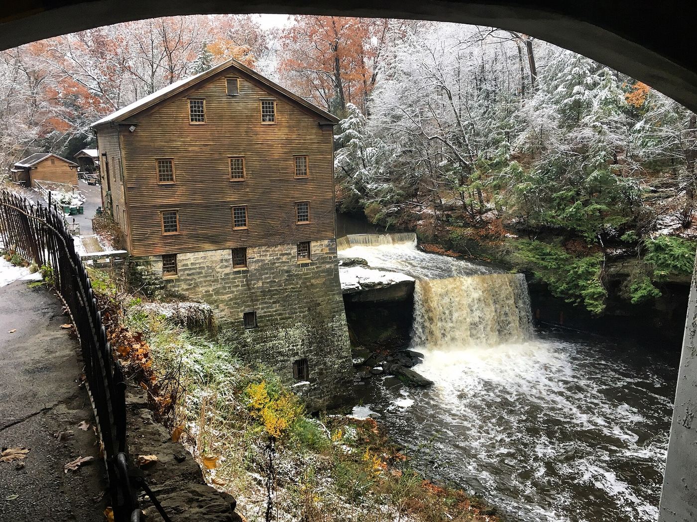
Lanterman's Falls is a 23-foot waterfall on Mill Creek beside Lanterman's Mill, a restored 1840s grist mill in Mill Creek Park, Mill Creek MetroParks, Youngstown. From the parking area off East Park Drive, follow the trail under the Canfield Road bridge to see the falls next to the mill. An observation deck and the East Gorge boardwalk, reached past the front of the mill, give more views. Return the same way, or walk the gorge trails along both sides of the creek.

Photo creditPhoto: Zachary V. Sunderman, CC BY-SA 4.0, via Wikimedia Commons
Little Lyons Falls, OH

State park gorge trail with stairs; small trailhead lot

Ohio

Little Lyons Falls

On the 2-mile Lyons Falls loop

Little Lyons Falls is a 25-foot falls on a small side stream of the Clear Fork Gorge in Mohican State Park. From the lot by the covered bridge, walk a boardwalk and then the trail upstream along the Clear Fork for about half a mile. At the first junction turn left toward Big Lyons Falls and continue about another half mile, following the Lyons Falls signs. Pass behind Big Lyons Falls and climb the stairs out of the gorge. Cross a bridge and continue toward Little Lyons Falls; the trail passes over the top of it about a quarter mile past Big Lyons Falls. Continue on to Pleasant Hill Dam and return on either side of the river, or go back the same way.

Photo creditPhoto: Aaron Zhu, CC BY-SA 3.0, via Wikimedia Commons
Ludlow Falls, OH

Short path from a village park to the falls under a bridge

Ohio

Ludlow Falls

A short walk from the lot to the falls

Ludlow Falls is a wide falls with a 15-foot plunge on Ludlow Creek in the village of Ludlow Falls, directly under the highway bridge that carries Route 48 over the creek. It cannot be seen from the road. From the small park and dirt lot on the north side of the creek along Covington Avenue, across from the post office, take the short path down under the bridge to the falls. Go Waterfalling says you can walk up to the edge of the falls and that an old stairway leads down into the gorge. Return the same way.

Photo creditPhoto: Nyttend, Public domain, via Wikimedia Commons
Newton Falls, OH

Partial guide: two falls in the village; this listing is probably the West Branch falls near West Broad Street

Ohio

Newton Falls

Roadside; a staircase leads down to the river edge

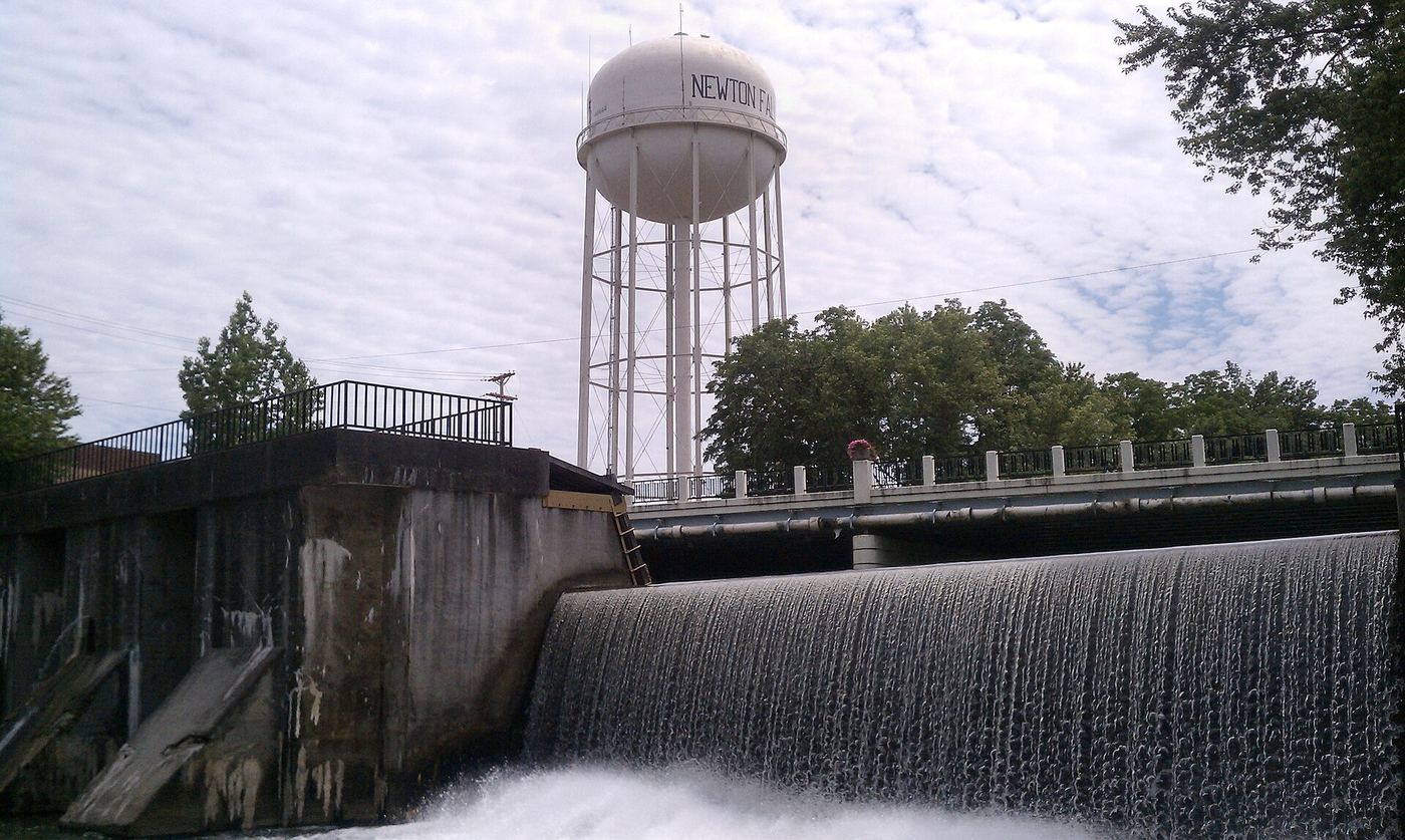
Newton Falls has two falls on the Mahoning River: the West Branch falls near the West Broad Street bridge downtown, and the reservoir falls on the east branch north of Ticknor Avenue. This listing is near downtown and is probably the West Branch falls, but that match is not confirmed. A travel article says a staircase leads down beside the falls to the river edge. The flow comes over a dam and can stop in dry periods. Downtown shops and Statue of Liberty Park are a short walk away on Broad Street.

Photo creditPhoto: Jbarta, CC0, via Wikimedia Commons
Paine Falls, OH

Metroparks overlook a short walk from the lot

Ohio

Paine Falls

A short trail from the lot to the overlook

Paine Falls is a two-tiered, fan-shaped waterfall on Paine Creek just below the Paine Road bridge in Paine Falls Park, a Lake Metroparks park in Leroy Township. From the park lot, follow the trail to the overlook to view the falls. Return the same way.

Photo creditPhoto: Nicholas A. Tonelli from Pennsylvania, USA, CC BY 2.0, via Wikimedia Commons
Rock House Falls, OH

State park loop to a cliff cave; seasonal waterfall

Ohio

Rock House Falls

About 1 mile loop

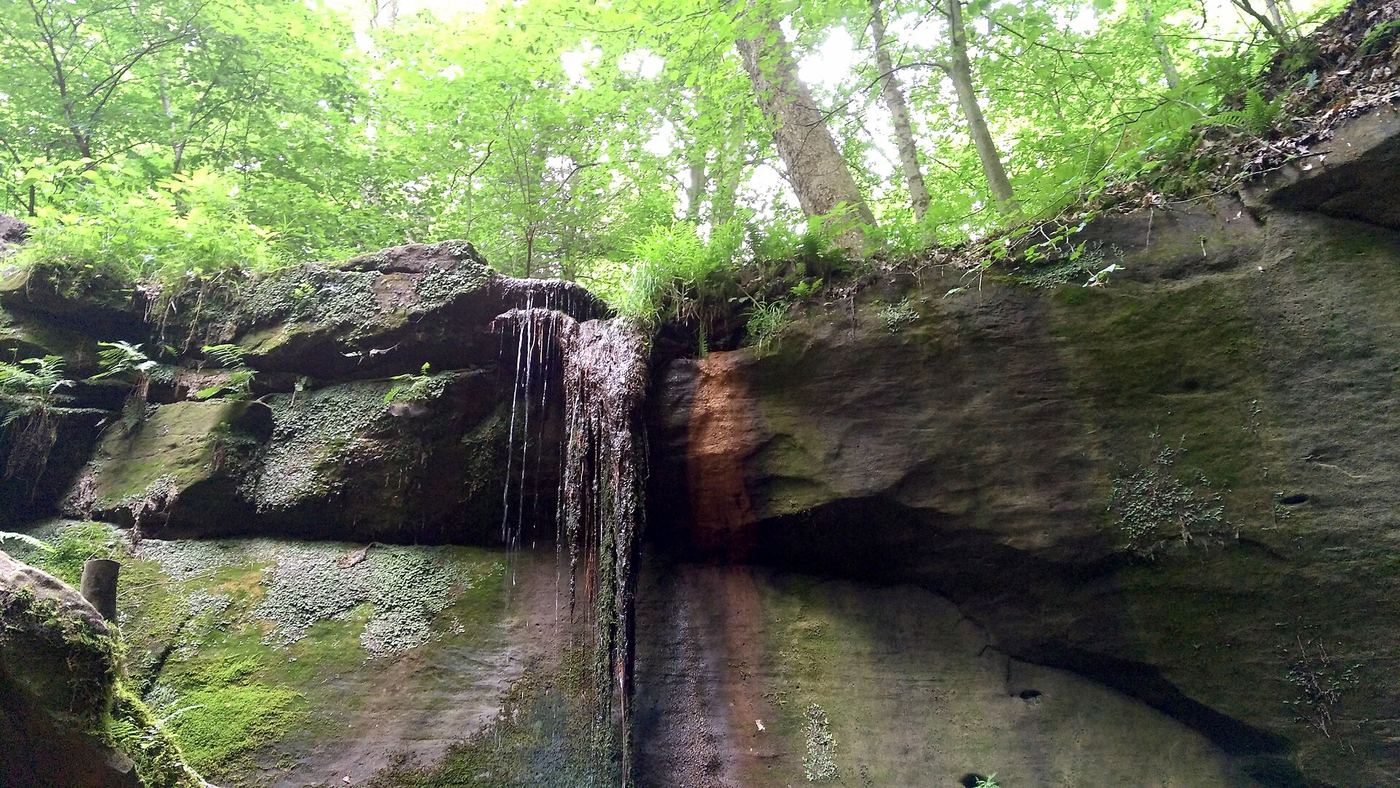
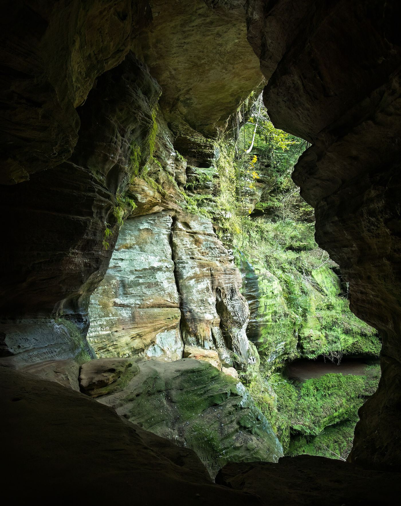
The Rock House is a long tunnel-like cave in a Blackhand sandstone cliff in Hocking Hills State Park, with several entrances and window openings. One window overlooks a cliff with a seasonal waterfall. From the parking area off Ohio 374, follow the short loop trail to and through the Rock House and back.

Photo creditPhoto: Rhododendrites, CC BY-SA 4.0, via Wikimedia Commons

State nature preserve gorge trail

Ohio

Amphitheater Falls

Along the 1-mile Gorge Trail

Amphitheater Falls is a side stream that drops about 25 feet into the Little Miami River gorge in Clifton Gorge State Nature Preserve, an Ohio nature preserve next to John Bryan State Park. From the parking lot, a short trail leads to the nature center. Take one of the stairways down to the Gorge Trail, which follows the river downstream past rapids, slump blocks and Amphitheater Falls toward John Bryan State Park. Return the same way or climb to the Rim Trail.

Location map; no photo available.

Metroparks boardwalk and steps to a viewing deck

Ohio

Bridal Veil Falls

About 1/3 mile

Bridal Veil Falls is a long, lacy cascade of about 20 feet on Deerlick Creek in Cleveland Metroparks' Bedford Reservation. Park at the Bridal Veil Falls lot on Gorge Parkway, cross the parkway to the north, and follow the trail down the wooden steps and boardwalk along Deerlick Creek to the viewing deck. Return the same way.

Location map; no photo available.

State park gorge trail with a side canyon spur on old stone steps

Ohio

Broken Rock Falls

Distance not given; the side canyon spur is short

Broken Rock Falls is in a small side canyon full of large broken rocks, downstream of Lower Falls in the Old Man's Cave gorge of Hocking Hills State Park. From the Old Man's Cave area, follow the gorge trail past Old Man's Cave; for Lower Falls, stay on the side of the gorge opposite the cave on the Grandma Gatewood Trail rather than crossing the stone bridge. After Lower Falls, cross to the other side of the gorge on a stone bridge and continue until the trail bends and a side canyon opens on the right. Climb the old stone steps up the side canyon, past broken rock and a short boardwalk, to the falls. Many park trails are one-way; follow directional signs.

Location map; no photo available.

County park nature trail; vehicle permit required

Ohio

Buckeye Falls

Gorge Trail is 0.6 miles; the falls are along it

Buckeye Falls is a small waterfall of about 10 feet on Sharon Creek in Sharon Woods, a Great Parks of Hamilton County park in Sharonville. A Komoot visitor tip says the falls are easily reached on the Gorge Trail. Great Parks says the Gorge Trail runs alongside Sharon Creek through a gorge designated a State Nature Preserve in 1977, with views of fossil-filled shale and limestone. Great Parks does not describe the falls on its trail pages.

Location map; no photo available.

Partial guide: unmarked path past Blue Hen Falls; land manager at the falls unknown

Ohio

Buttermilk Falls

About 3.5 miles return

Buttermilk Falls is a 15 to 20-foot falls on Spring Creek, downstream of Blue Hen Falls in the Cuyahoga Valley area. From the Boston Mill Visitor Center, cross Riverview Road to the Buckeye Trail and Blue Hen Falls Trail. Climb the stairs, cross the bridge, walk the left side of Boston Mills Road for about 1/4 mile, and cross at the marked crosswalk. Continue to a gravel path, turn right, cross a bridge and reach Blue Hen Falls. From there an unmarked path continues downstream with several creek crossings to Buttermilk Falls. Turn back at the falls: the path beyond leads to posted private property. Go Waterfalling says the path does not look official, and who manages the land at the falls is unknown.

Location map; no photo available.

Short marked state park trail

Ohio

Cascade Falls

Short; the Yellow Trail is 0.2 mile

Cascade Falls slides down the face of a sandstone ledge on Cascade Creek at Nelson Kennedy Ledges State Park. Go Waterfalling says the parking and picnic area is on one side of Route 282 and the ledges are on the other, with Cascade Falls to the right. The Ohio DNR map shows Cascade Falls at the north end of the yellow-blazed trail, near Gold Hunter's Cave. A Hiking with Doc account describes a light flow on a dry day. Ohio DNR asks visitors to stay on marked trails.

Location map; no photo available.

County park overlook and footbridge view

Ohio

Cedar Cliff Falls

Short walk from the falls parking area

Cedar Cliff Falls is water cascading over an old arched stone mill dam on Massies Creek, in a gorge with cliffs at the east end of Indian Mound Reserve. Greene County Parks built an overlook at the falls. From the parking lot and picnic shelter by the creek, walk to the footbridge over Massies Creek for a downstream view, or follow the rim trail to the observation deck. Trails link to Williamson Mound and Peterson Park.

Location map; no photo available.

Preserve trail to an overlook; access to the falls itself is prohibited

Ohio

Cedar Falls

Three miles round trip (The Nature Conservancy); a TrekOhio GPS reading gave 1.7 miles one way

Cedar Falls is a 15-foot cascade in the John and Marion Becker Cedar Falls Preserve, part of the Edge of Appalachia Preserve System managed by The Nature Conservancy and the Cincinnati Museum Center. The Helen C. Black Trail starts among eastern red cedars, passes through a boulder field below 70-foot cliffs, and ends at an overlook on a cliff edge above the falls. Direct access to the falls is strictly prohibited, and visitors must stay on the trail. Pets, biking and camping are not permitted.

Location map; no photo available.

Small lakeside park; steps down to the beach

Ohio

Columbia Beach Falls

0.2 miles return

Columbia Beach Falls is a cascade of about 22 to 40 feet where a small stream drops down a shale bluff into a pool and across the beach to Lake Erie, in the 1.6-acre Columbia Park in Bay Village. Park in the small lot on the south side of Lake Road at the Columbia Road traffic light, cross Lake Road, and walk down to the shoreline; the falls are to your left. The park has an observation deck at the top and a second one near the beach.

Location map; no photo available.

Perimeter Trail and short path from the end of Lukens Road

Ohio

Crawdad Falls

A short distance from the Lukens Road lot; about a mile on the Perimeter Trail from the Pioneer Village lot to Lukens Road

Crawdad Falls is a small drop of about three feet on Jonah's Run in Caesar Creek State Park. The shortest approach is to drive to the parking area at the end of Lukens Road; a trail on the right leads a short distance to the falls, and a trail beside the creek gives a good view. Lukens Road is narrow with deep potholes, so drive slowly. For a longer walk, park in the small lot by Pioneer Village (across from the nature center entrance), walk up the road to the trailhead and follow the yellow-blazed Perimeter Trail east about a mile to Lukens Road, then continue on the Perimeter Trail past the Lukens Road lot to the falls.

Location map; no photo available.

Historical walking route documented; current permission and parking unconfirmed

Ohio

Crown Hill Falls

Historical guide: 40 yards; current route unconfirmed

A published firsthand guide documents a short stepped approach inside Crown Hill Cemetery. The local watershed group also documents the waterfall, but current permission for sightseeing and visitor parking still need confirmation.

Location map; no photo available.

Short Metroparks loop past the cave to the falls

Ohio

Deer Lick Cave Falls

About a quarter mile to the cave, then about 100 feet to the falls; the short loop is about half a mile

Deer Lick Cave Falls is a small, low-flow falls beside Deer Lick Cave, a Berea sandstone overhang in Brecksville Reservation, Cleveland Metroparks. From the Deer Lick Cave Trail Loop parking lot, walk the narrow connector about 20 feet and turn right on the Buckeye Trail. Follow the Deer Lick Cave signs about a quarter mile down the hill to the cave, then continue left about 100 feet to the falls. Climb the short stairs and turn left to loop back to the lot. A longer 4-mile loop starts at the Brecksville Nature Center.

Location map; no photo available.

State park gorge trail; one-way loop with stairs

Ohio

Devil's Bathtub

Part of the 1-mile Old Man's Cave trail

The Devil's Bathtub is a swirling, bowl-shaped pothole on Old Man's Creek, where the water spins before dropping into a pool below. It is in the Old Man's Cave gorge in Hocking Hills State Park. From the Visitor Center, take the trail into the gorge; it is also part of the Buckeye Trail. You first reach Upper Falls, then the Devil's Bathtub, then Old Man's Cave. The trail system is one-way, so follow the markers to the exits back to the Visitor Center.

Location map; no photo available.

State park trail from Flat Fork Ridge to the falls and suspension bridge

Ohio

Horseshoe Falls

About a couple of miles round trip

Horseshoe Falls is a wide, low drop on Flat Fork Creek in Caesar Creek State Park, best after rain. Park at the Flat Fork Ridge Recreation Area on Clarksville Road, past the emergency spillway and just before the dam and visitor center. The trailhead is off the main lot, with stairs down to the trail. The trail follows the lake, passes through the fossil-rich emergency spillway, then splits: one branch follows the inlet and the other climbs a ridge above it; they rejoin. The trail passes above the falls (a bench gives a view down on them) and crosses Flat Fork Creek on a suspension bridge; a path beyond leads to a view from the opposite bank and the remains of an old grist mill. Return the same way.

Location map; no photo available.

County park gorge trail; motor vehicle permit required

Ohio

Lower Buckeye Falls

0.6 mile one way; about 1.4 miles out and back

Lower Buckeye Falls is the lower of two large waterfalls on Sharon Creek in the Sharon Woods gorge, a State Nature Preserve inside the county park at 11450 Lebanon Road, Sharonville. Enter the park from Kemper Road, drive 0.2 mile and turn left on Buckeye Falls Drive; trailhead parking is on the right just after crossing the dam. The Gorge Trail descends steeply at first to an overlook of the upper cascade, then levels through mature forest, crosses the creek on a high bridge, and passes an old bridge abutment. A rest area on the left then overlooks the lower waterfall, near the main park road where the trail ends. Return the same way, or take the fitness trail back up the hill.

Location map; no photo available.

Partial guide: probable match to the falls at the head of Conkles Hollow; no pets

Ohio

Lower Falls

About 1 mile return

Conkles Hollow is a narrow gorge with sandstone cliffs nearly 200 feet high, with several seasonal waterfalls. From the preserve lot on Big Pine Road, follow the partly paved Gorge Trail along the valley floor to the falls at the head of the gorge, then return the same way. This listing is taken to be that falls, which some route sites call Lower Falls. The separate Rim Trail is a 2-mile loop along the cliff edge.

Location map; no photo available.

One-way state park gorge trail with stairs

Ohio

Lower Falls

Just under half a mile to Old Man's Cave, then a short way to Lower Falls; the loop is about 1 mile

Lower Falls is a waterfall of about 25 feet below Old Man's Cave in Hocking Hills State Park, dropping into the Devil's Bathtub area of the gorge. From the parking area, cross the bridge over Upper Falls and descend into the gorge on the Grandma Gatewood Trail. Pass Devil's Bathtub and Old Man's Cave; shortly past the cave the trail passes the top of Lower Falls and descends to its base. The trail is one way: follow the directional signs to an exit back to the visitor center.

Location map; no photo available.

Partial guide: county park trails reach a lower falls platform; the path from parking to it is not described

Ohio

Lower Piatt Falls

Park loop trail about 1.3 miles; no separate distance to the lower falls

Piatt Park is a 119-acre Monroe County park with a gorge, rock shelter and more than a dozen waterfalls. Reach it from State Route 78 via County Road 30 and Township Road 2308. The original 1.3-mile loop trail goes down 114 steps into the gorge to the rock overhangs, past a waterfall and a spring; the blue trail connects to it, and the east rim trail is steeper. Volunteers built walkways, platforms and stairs at the upper and lower falls areas. Which trail branch leads to the lower falls platform is not described, so follow the park's trail signs.

Location map; no photo available.

Partial guide: no trail or parking area; route uses an old rail bed of unstated ownership and a creek walk

Ohio

Lower Sheepskin Hollow Falls

About 1/2 mile on the old rail bed, then about 1/4 mile up the creek with no trail

The lower falls in Sheepskin Hollow is a 15-foot plunge that you can walk behind, in Sheepskin Hollow State Nature Preserve near the Pennsylvania line. Ohio DNR says the preserve has no trail system and no restrooms, and pets are not permitted. Go Waterfalling describes parking beside the railroad underpass on Pancake-Clarkson Road, climbing to the abandoned rail bed and walking south about half a mile, then a steep scramble down into the hollow and a quarter mile up the creek with several crossings. The sources do not say who owns the old rail bed.

Location map; no photo available.

City overlook deck; parking outside winter only

Ohio

Mill Creek Falls

Short walk from the parking area to the overlook

Mill Creek Falls is a 48-foot waterfall in Cleveland, the tallest in Cuyahoga County. It was moved from its original course over a century ago for a railroad. Cleveland Metroparks runs a small overlook at The Yard at Mill Creek Falls, reached off Warner Road, with a viewing deck at two heights. In winter, when The Yard lot is closed, Go Waterfalling suggests parking at Garfield Park Reservation and walking 1.5 miles.

Location map; no photo available.

Metro Park paved trail with steps to the falls overlook

Ohio

Milliken Falls

Millikin Falls Trail is 0.6 miles

Millikin Falls is a 25-foot waterfall in Quarry Trails Metro Park, a former limestone quarry on the west side of Columbus. Park at the Waterfall Entrance, 2158 Old Dublin Road. Steep steps at the start of the paved Millikin Falls Trail climb to an overlook of the falls; the trail ends at the Truss Bridge, an old railway bridge on the Scioto River. The small waterfall lot fills quickly; the main lots at Roberts and Dublin roads connect to the falls by a paved path along the cliff tops and a dirt trail to the bottom pool.

Location map; no photo available.

Short marked state park trail

Ohio

Minnehaha Falls

Short; the White Trail is 0.4 mile

Minnehaha Falls is a small falls of about 10 feet at the far (south) end of Nelson Kennedy Ledges State Park. The Ohio DNR map shows it at the south end of the easy White Trail, beside the Falls Edge Glass Bridge, a glass walkway dedicated in May 2025 that looks down into the narrow channel. A Hiking with Doc account notes that the glass can be slippery and that trekking poles and ice cleats should not be used on the panels. Ohio DNR asks visitors to stay on marked trails.

Location map; no photo available.

Partial guide: probable identity; short walk in a Metroparks reservation

Ohio

Quarry Lane Horseshoe Falls

Short walk from the parking lot

This small horseshoe-shaped falls, called Quarry Lane Falls or Music Mound Falls, is in Cleveland Metroparks' Mill Stream Run Reservation in Berea, near the Music Mound area between Wallace and Baldwin lakes. Park in the lot on North Quarry Lane and walk to the observation area near the intersection of North Quarry Lane and Valley Parkway. The falls can also be seen from a bridge. This listing is taken to be that falls; no source gives its exact position.

Location map; no photo available.

Partial guide: free permit required; directions and gate code come with the permit

Ohio

Quiverheart Falls

Quiverheart Falls Trail is a 2.0-mile loop

Quiverheart Falls is in Quiverheart Gorge, an Arc of Appalachia preserve in northwestern Adams County, and during the rainy season it is the largest waterfall in the Arc preserve system. Hiking is by free permit only: apply on the Arc website during the current month (cycles start on the first Wednesday); a maximum of 10 cars per day and five people per car. The emailed permit includes the trail map, directions and the passcode for the locked entrance gate; close and lock the gate when you enter and leave. The Quiverheart Falls Trail is a 2.0-mile loop between the canyon floor and the upper rim, passing the waterfall, a rock shelter and the boulder field called Boulder City.

Location map; no photo available.

Partial guide: private land open for hiking; the trail from the lot to the falls is not described

Ohio

Raven Rocks Falls

No distance is published; a family visit spent about an hour hiking around the gorge, waterfall and caves

Raven Rocks is a private property of a little over 1,000 acres outside Beallsville that its owners have opened to the public for hiking. A stream flows over a waterfall and has cut a gorge with overhanging cliffs, caves and hemlocks. A Times Leader article gives the trailhead and parking lot at 54167 Crum Road. A Weelunk visitor account describes climbing down to the base of the waterfall. The sources do not describe the trail from the lot to the falls or any posted rules.

Location map; no photo available.

Nature preserve trail; parking fee for non-members

Ohio

The Cascades

About 1 mile round trip from the Corry Street lot

The Cascades are a series of small drops on Birch Creek in Glen Helen Nature Preserve in Yellow Springs. Glen Helen says its Cascades Lot at 1075 OH-343 gives ADA trail access to the Birch Creek Cascades and the Yellow Spring. Waterfall Record describes the route from the Corry Street lot: downhill to Birch Creek, then left uphill until you reach the falls. It notes the trail system can be confusing and some paths lead to private property.

Location map; no photo available.

Nature preserve loop trail; parking fee

Ohio

The Grotto

About 1 mile round trip

The Grotto is a small waterfall over a travertine mound with a little cave behind it in Glen Helen Nature Preserve, Yellow Springs, a private nature preserve open to the public. From the Corry Street parking, follow the main trail downhill to Yellow Springs Creek and the Inman Trail. Following the loop clockwise, pass the boardwalk and Pompey's Pillar and the old dam remains; the Grotto is nearby, just before the trail climbs to the Yellow Spring. Return the same way or finish the loop. The trail system can be confusing; carry the preserve map.

Location map; no photo available.

Partial guide: unmarked creek walk off the Towpath Trail; canal crossing depends on water level

Ohio

Twin Sisters Falls

About 2 miles round trip

Twin Sisters Falls is a seasonal waterfall in a side ravine of Cuyahoga Valley National Park near Brecksville. It is not on a marked trail. From the Station Road Bridge Trailhead, cross the Station Road Bridge over the Cuyahoga River and go north on the Ohio and Erie Canal Towpath Trail, under the Brecksville-Northfield Bridge. Stay on the Towpath about a quarter mile past a bench and steel footbridge to Mudcatcher Falls, which has a park sign. When the water is low, rock-hop across the canal there and walk upstream; from here the route is mostly a creek walk with a faint user-made path in places. The park's compendium asks visitors to stay 50 feet from the base and brink of the falls. Return the same way.

Location map; no photo available.

Short state park walk; accessible deck and steps to the base

Ohio

Upper Falls

A short walk from the parking area

Upper Falls is the waterfall at the head of the Old Man's Cave gorge in Hocking Hills State Park. From the parking area, go to the trail kiosk and cross the bridge over Upper Falls, then follow the path and stone steps down into the gorge to the base of the falls. A wheelchair-accessible path runs from the park office past the visitor center to an observation deck above Upper Falls. The gorge trail beyond is one way; follow the directional signs.

Location map; no photo available.

Partial guide: which drop is the upper falls is not established; steep stairs

Ohio

Upper Piatt Falls

On the 1.3-mile original loop trail

Piatt Park is a 119-acre Monroe County park with a sandstone gorge, a large rock shelter and more than a dozen small waterfalls. From the camping and picnic area, a small wooden sign on the south side of the park points to the nature trail. It drops into the woods, follows the stream, then climbs along the gorge rim. Steep wooden staircases (114 steps) lead down to the rock shelter, which has a view of a waterfall, and on to the bottom of the gorge. The park added walkways, platforms and stairs at the upper and lower falls areas. This listing marks the upper falls; which drop that is on the ground is not established. A rough path continues up the canyon past the lower falls and is more difficult.

Location map; no photo available.

Marked state park trail from the lodge lot

Ohio

Whispering Cave

0.7 miles from the trailhead to the cave

Whispering Cave is a recess cave nearly 300 feet wide with a 105-foot seasonal waterfall pouring from its rim, in Hocking Hills State Park. TrekOhio describes the Hemlock Bridge Trail from a kiosk at the lodge parking lot, through hemlock forest with boardwalks and stairs, to a well-signed split where the Whispering Cave Trail continues to the cave. The old dining lodge has been replaced by a new lodge on the same site.

Location map; no photo available.

Partial guide: state park trail to Whispering Cave; name match probable

Ohio

Whispering Falls

0.7 miles each way from the lodge trailhead

This listing is named Whispering Falls; the sources describe the seasonal waterfall of about 105 feet that drizzles from the rim of Whispering Cave, a recess cave nearly 300 feet wide in Hocking Hills State Park, and this is probably the same feature. From the kiosk at the lodge parking lot, follow the Hemlock Bridge Trail. At the signed fork, take the Whispering Cave Trail spur, with stairs down into the cave. A fence marks the end of the trail through the cave. Return the same way, or make the longer loop from Old Man's Cave.

Location map; no photo available.

Choose another state All mapped waterfalls in Ohio