Minnehaha Falls
Portage County, Ohio
Your visit at a glance
- Waterfall height
- Not recorded
- Location
- Portage County, Ohio
- Access status
- Short marked state park trail
- The walk
- Short; the White Trail is 0.4 mile
- Ground & access
- Easy trail along the top of the ledges with hidden cracks between blocks; keep children and dogs close. Glass walkway can be slippery.
Minnehaha Falls is a small falls of about 10 feet at the far (south) end of Nelson Kennedy Ledges State Park. The Ohio DNR map shows it at the south end of the easy White Trail, beside the Falls Edge Glass Bridge, a glass walkway dedicated in May 2025 that looks down into the narrow channel. A Hiking with Doc account notes that the glass can be slippery and that trekking poles and ice cleats should not be used on the panels. Ohio DNR asks visitors to stay on marked trails.
Plan your visit
Nelson Kennedy Ledges State Park lot on State Route 282, across the road to the trailhead, then the White Trail south to Minnehaha Falls near the Falls Edge Glass Bridge
The Ohio DNR park map lists the White Trail as 0.4 mile and shows Minnehaha Falls at its south end.
Easy trail along the top of the ledges with hidden cracks between blocks; keep children and dogs close. Glass walkway can be slippery.
Where to start
Park lot on State Route 282 across from the ledges.
Timing & water
Park hours are 30 minutes before sunrise to 30 minutes after sunset. Flow is low in dry weather.
Before you go
No fee or reservation is mentioned.
Visitor informationVisit sources
More waterfalls nearby
Within 40 straight-line miles. Road and trail distances will differ.
- Cascade FallsShort marked state park trailPortage County, OH0.3 miN
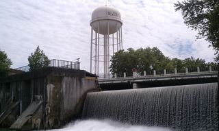 Newton FallsPartial guide: two falls in the village; this listing is probably the West Branch falls near West Broad StreetTrumbull County, OH9.9 miS
- Cataract FallsAshtabula County, OH14 miN
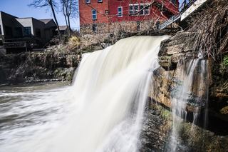 Chagrin FallsPartial guide: village viewing area by the Main Street bridge; parking not describedCuyahoga County, OH20 miW
- Crown Hill FallsHistorical walking route documented; current permission and parking unconfirmedSummit County, OH21 miW
- Canyon FallsSummit County, OH22 miW
- Tip Top FallsSummit County, OH24 miSW
- Upper Cascade FallsMahoning County, OH25 miSE
- Lower Cascade FallsMahoning County, OH25 miSE