Cedar Falls
Hocking County, Ohio
Your visit at a glance
- Waterfall height
- Not recorded
- Location
- Hocking County, Ohio
- Access status
- State park; stepped trail from the parking area to the base of the falls
- The walk
- About half a mile from the lower parking lot, with about 100 steps
- Ground & access
- Stone steps and gorge trail with a wooden bridge; slippery when wet and icy in winter.
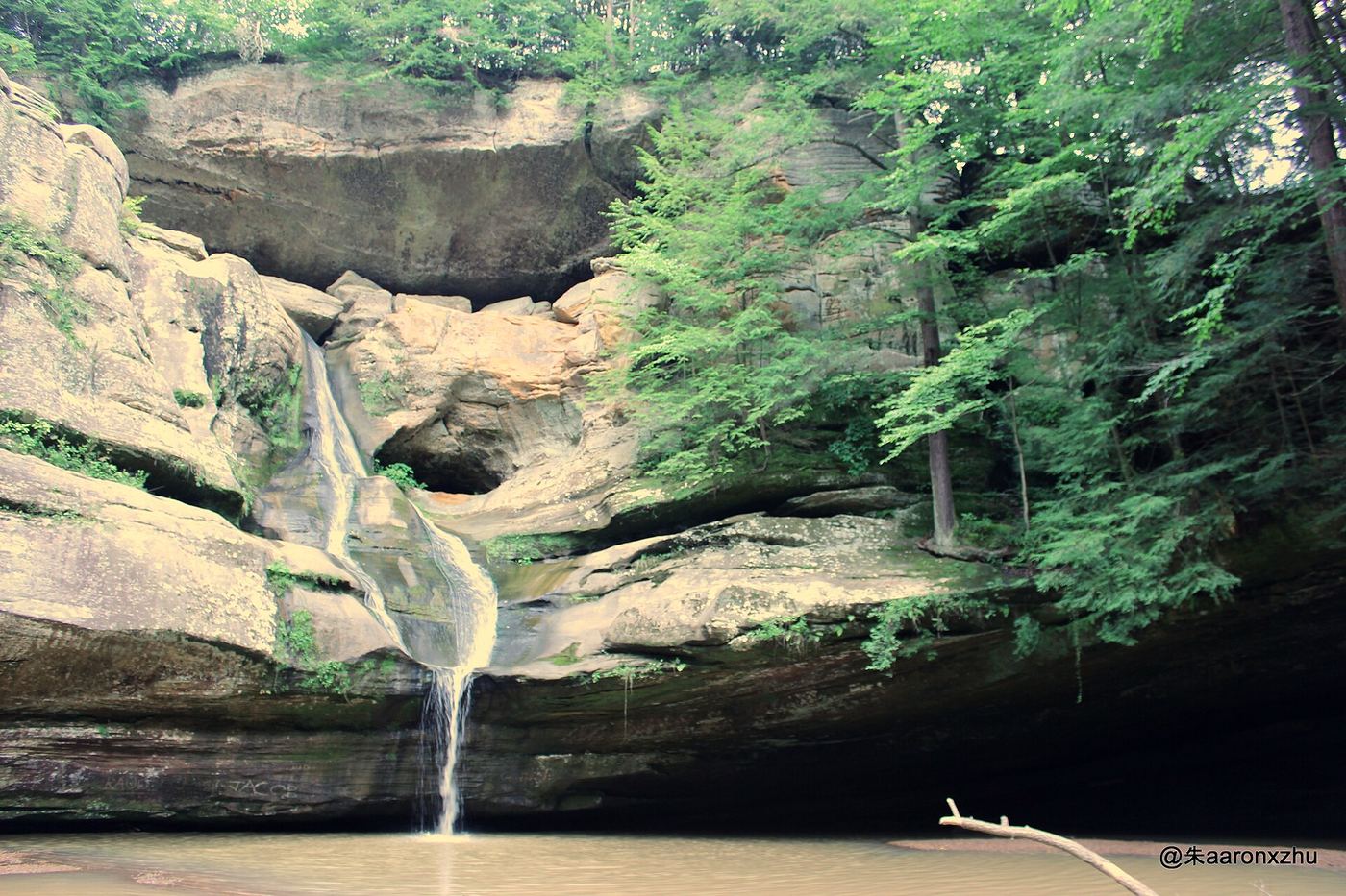
Cedar Falls is the largest waterfall by volume in the Hocking Hills, where Queer Creek pours over Blackhand sandstone into a pool with a rocky beach at the base. The main parking area is off State Route 374 and is well signed; it has a picnic area and restrooms above the falls. From the parking area, a trail and the curving Democracy Steps (nearly 100 steps) lead down into the gorge and to the falls; the trail forms a loop back to the road near the lot. A dirt Buckeye Trail lot on the west side of SR 374, north of the main lot, also leads down a flight of steps to the falls. Wading, swimming and climbing on rocks are not allowed.
Plan your visit
Cedar Falls parking area on State Route 374 in Hocking Hills State Park, trail and the Democracy Steps down into the Queer Creek gorge to the base of Cedar Falls
A historical marker listing says it is a half-mile walk with 100 steps from the lower parking lot down into the gorge to the marker at the falls. Ohio DNR lists the Cedar Falls trail as 1 mile.
Stone steps and gorge trail with a wooden bridge; slippery when wet and icy in winter.
Where to start
Main Cedar Falls parking area off State Route 374, about 2 miles north of State Route 56. A smaller dirt Buckeye Trail lot is north of it on the west side of SR 374.
Timing & water
Trails open from half an hour before sunrise to half an hour after sunset. Flow is thin in summer and the falls can dry up.
Before you go
Free: no charge to enter, park or hike.
Visitor informationVisit sources
More waterfalls nearby
Within 40 straight-line miles. Road and trail distances will differ.
- Whispering FallsPartial guide: state park trail to Whispering Cave; name match probableHocking County, OH0.5 miW
- Devil's BathtubState park gorge trail; one-way loop with stairsHocking County, OH1.4 miNW
- Lower FallsOne-way state park gorge trail with stairsHocking County, OH1.4 miNW
- Upper FallsShort state park walk; accessible deck and steps to the baseHocking County, OH1.4 miNW
- Broken Rock FallsState park gorge trail with a side canyon spur on old stone stepsHocking County, OH1.5 miNW
- Whispering CaveMarked state park trail from the lodge lotHocking County, OH1.5 miW
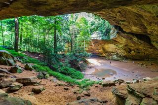 Ash CaveState park; paved, accessible quarter-mile trailHocking County, OH1.7 miSW
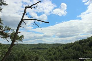 Rim Trail Falls (off-trail)Hocking County, OH4.0 miNW
- Lower FallsPartial guide: probable match to the falls at the head of Conkles Hollow; no petsHocking County, OH4.1 miNW