Storm recovery; lookout reopening unconfirmed
Hawaii
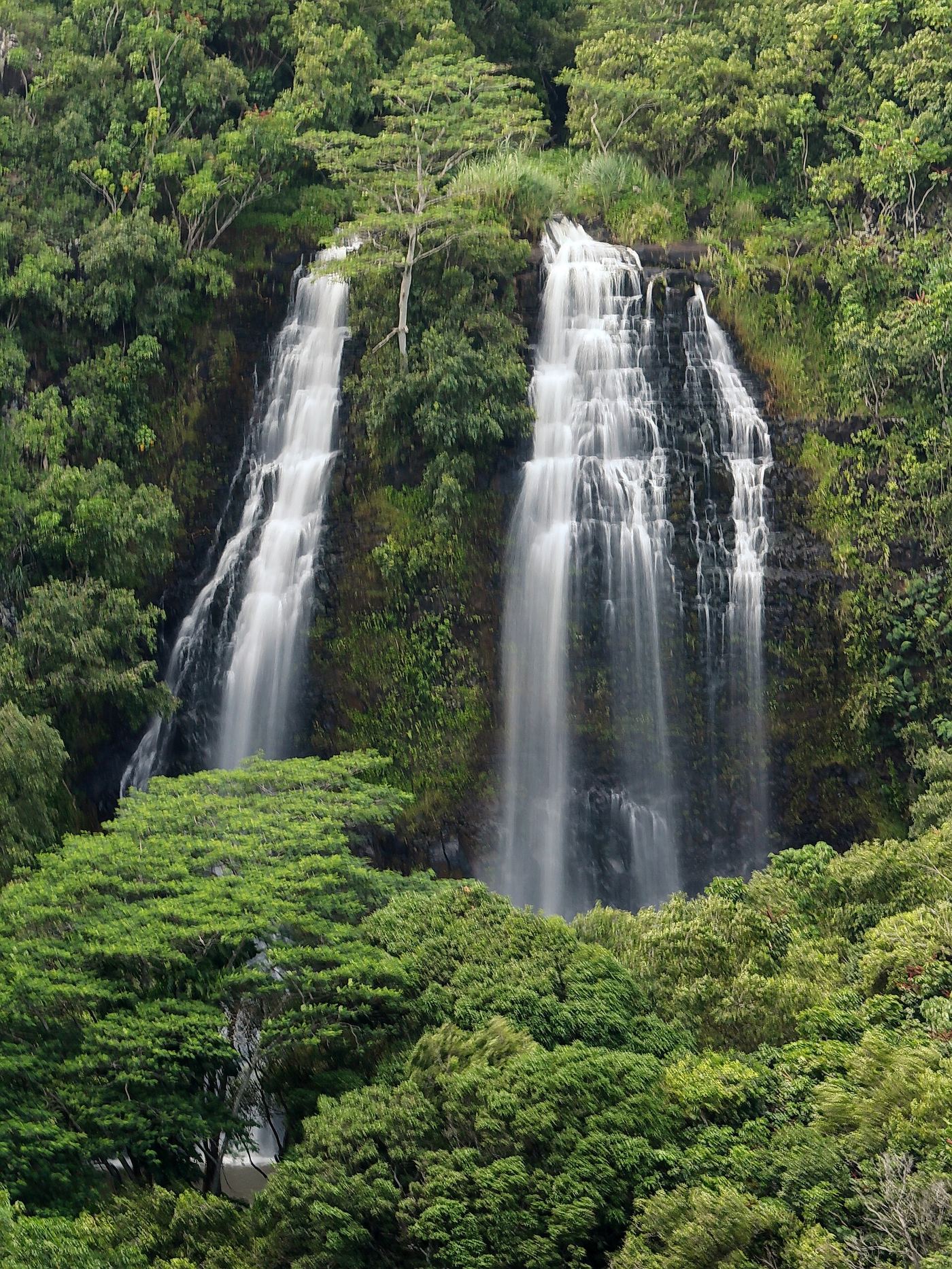
'Opaeka'a Falls
Roadside lookout; distance not stated
Established roadside waterfall lookout. DLNR’s October 23, 2026 recovery notice does not explicitly confirm that this lookout has reopened.
Compare 31 Hawaii waterfall visits by the approach, terrain, and where to start. Some routes have closures or unresolved details; read the individual guide before travelling.
31 visit options
Storm recovery; lookout reopening unconfirmed
Hawaii
Roadside lookout; distance not stated
Established roadside waterfall lookout. DLNR’s October 23, 2026 recovery notice does not explicitly confirm that this lookout has reopened.
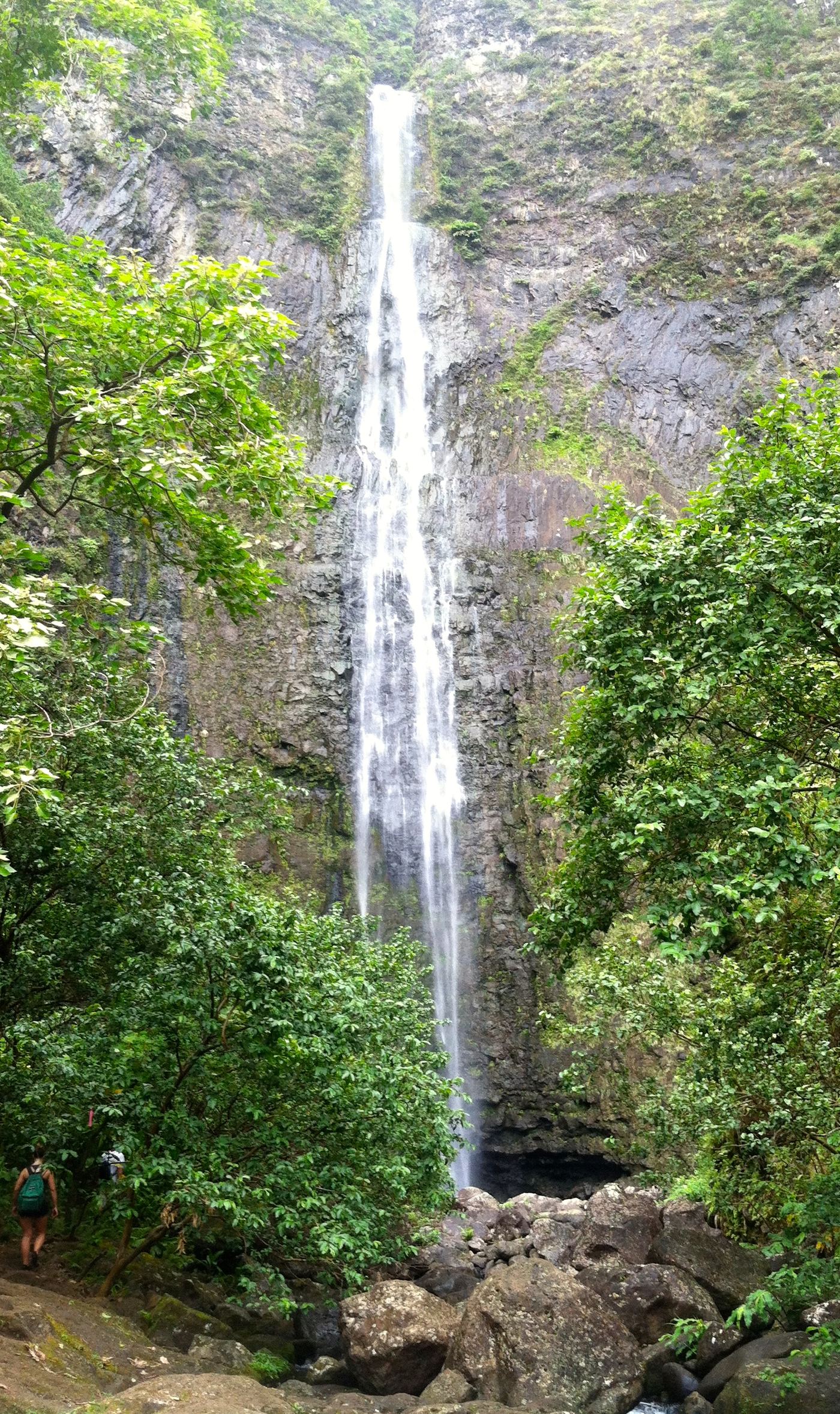
Waterfall day hike reopened October 15, 2026; coastal trail beyond Hanakāpīʻai remains closed
Hawaii
About 8 miles return from the trailhead, plus the parking connection
Follow the coastal Kalalau Trail to Hanakāpīʻai Valley, then take the inland waterfall route. Return the same way. The reopened day hike does not authorize travel farther along the closed coastal trail.
Partial guide: roadside view only; safe legal pullout space is limited and unverified
Hawaii
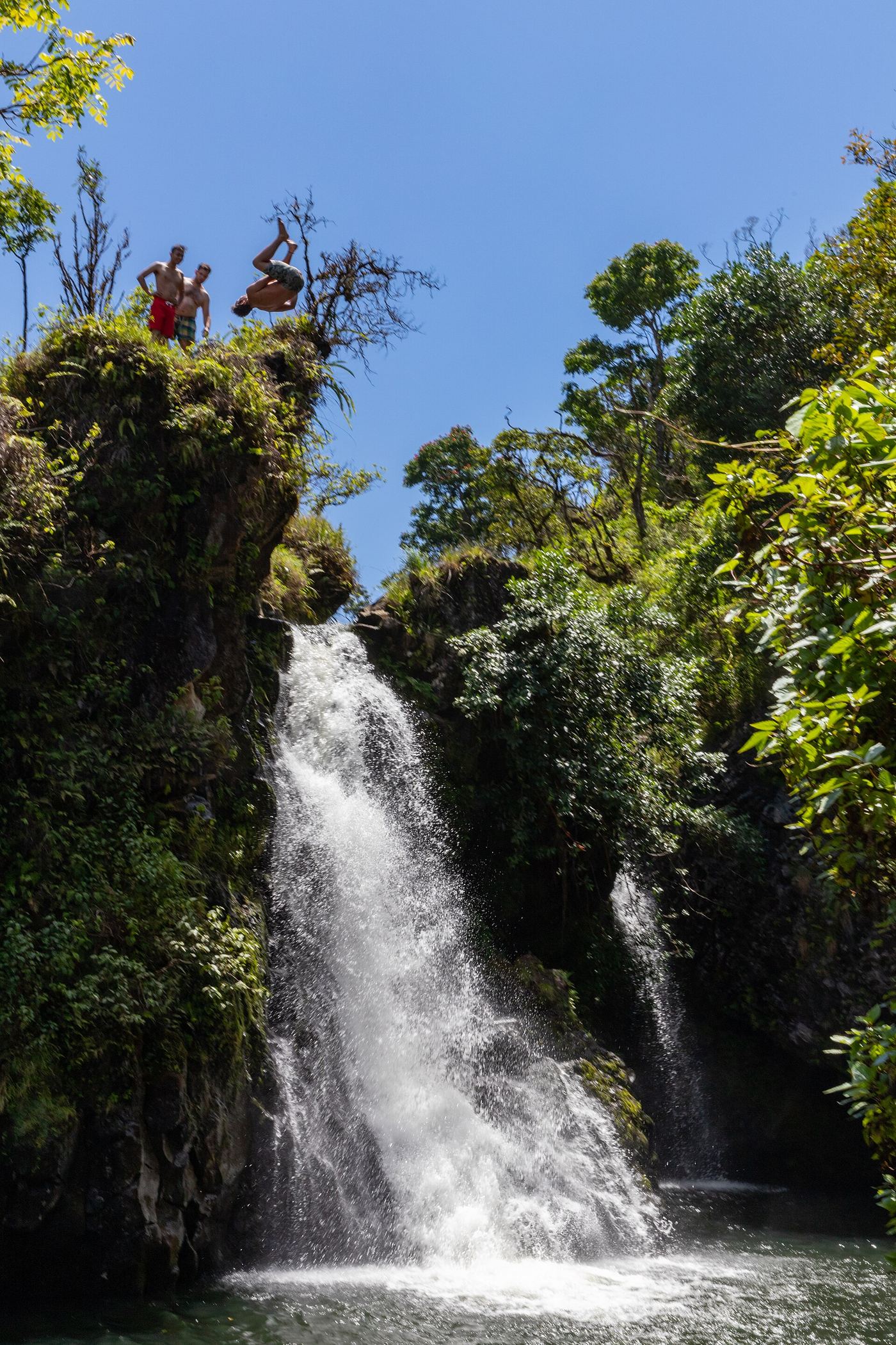
Roadside view; no walk
What most visitors see is Upper Hanawi Falls, a 30-foot cascade seen from the Hana Highway bridge over Hanawi Stream near mile marker 24. View from the bridge area only. The trail to the lower falls crosses land leased by East Maui Irrigation, which does not grant hiking permits.
Partial: access permission and exact waterfall approach unresolved
Hawaii
The firsthand account gives 1.8 miles for visiting both falls, excluding the walk from Kapahi Park. Exact distance to this inventory pin is unverified.
This is the named Hoopii waterfall group near Kapahi on Kapaa Stream. A firsthand account describes an informal path descending from Kapahi Road, meeting the stream after about 0.2 mile and reaching the first waterfall spur at about 0.3 mile. It continues to a second waterfall. Public access is not confirmed: the author qualifies their understanding of private-land permission, and the opened 2019 council testimony discusses securing access rather than proving current authorization. Confirm permission and observe closure signs before using the path.
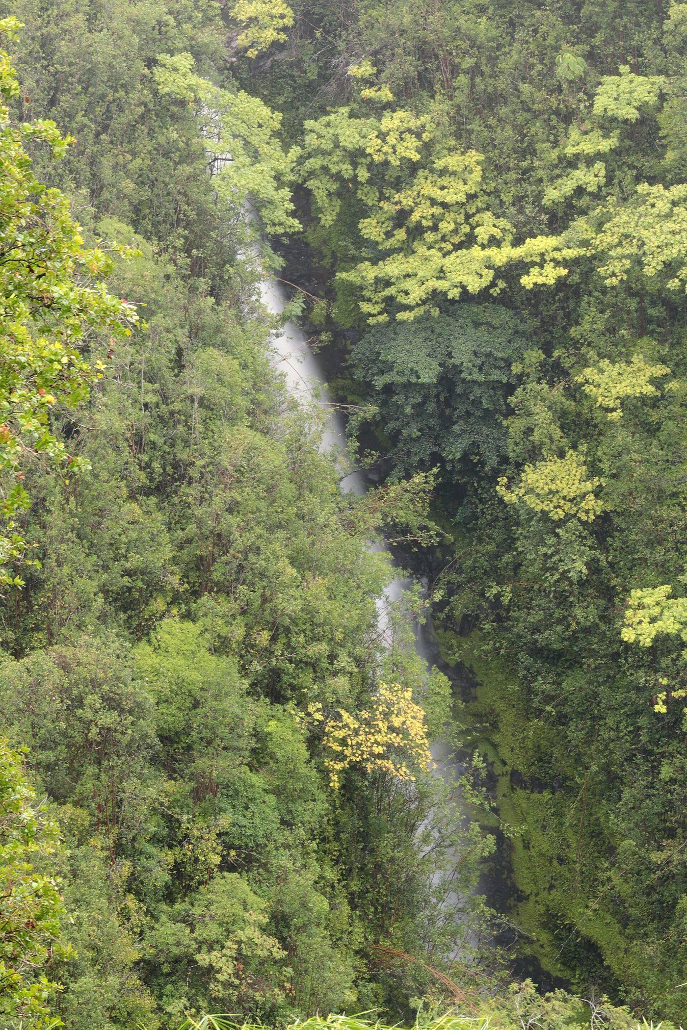
Official loop and fees documented; part of the trail closed in October 2026
Hawaii
The full loop is 0.4 miles (DLNR) to a little over half a mile (Hikespeak)
Akaka Falls State Park has a paved loop trail with viewpoints of Kahuna Falls and the 442-foot Akaka Falls. The trailhead is just off the parking lot. At the first junction, turn right to walk the loop counter-clockwise; the trail descends a lush ravine to the Kahuna Falls viewpoint and then continues to Akaka Falls. Trees partly hide Kahuna Falls. DLNR reported on October 23, 2026 that part of the trail is closed due to fallen trees; it is not stated whether the Kahuna Falls viewpoint is affected.
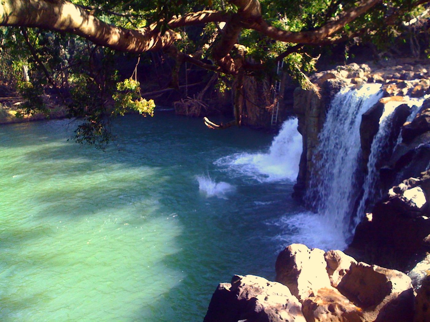
Exact mapped waterfall route unconfirmed
Hawaii
Approximately 1.5 miles for the guided tour
Outfitters Kauai advertises an authorized guided Kīpū Falls and Treehouse hike on private ranch land. General public access remains unavailable. The reviewed pages do not provide a mapped route establishing the exact waterfall point.
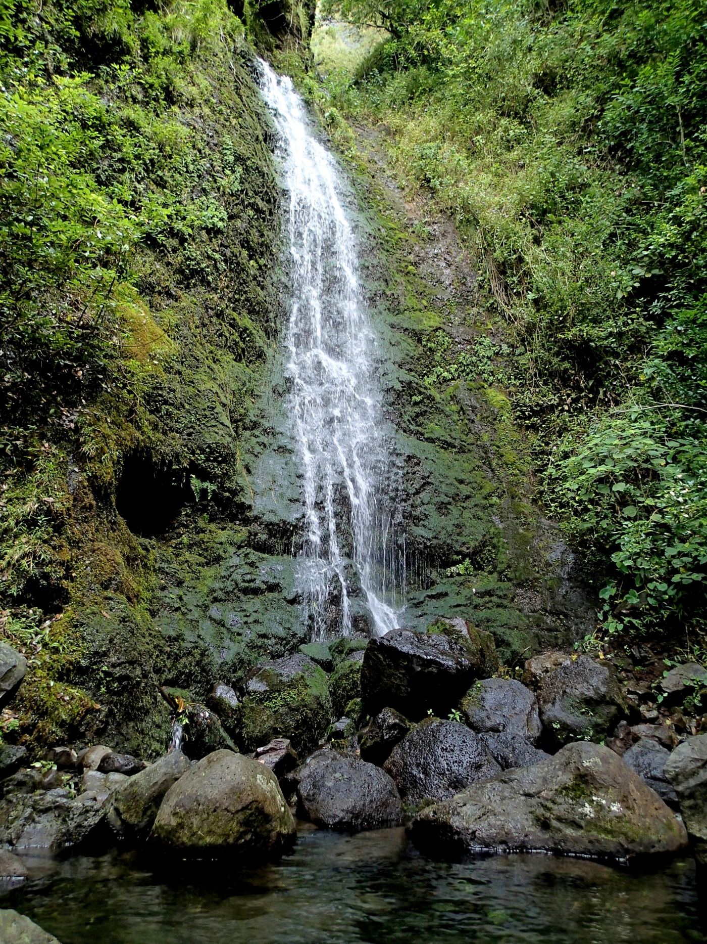
Permit-required watershed trail documented
Hawaii
About 1.5 miles return
Park at the gravel lot off the Pali Highway used for the Kaniakapupu Ruins. The trail starts at an opening in the fence at the back of the lot with a Board of Water Supply sign. The route is easy to lose, so check current trail notes. Return the same way.
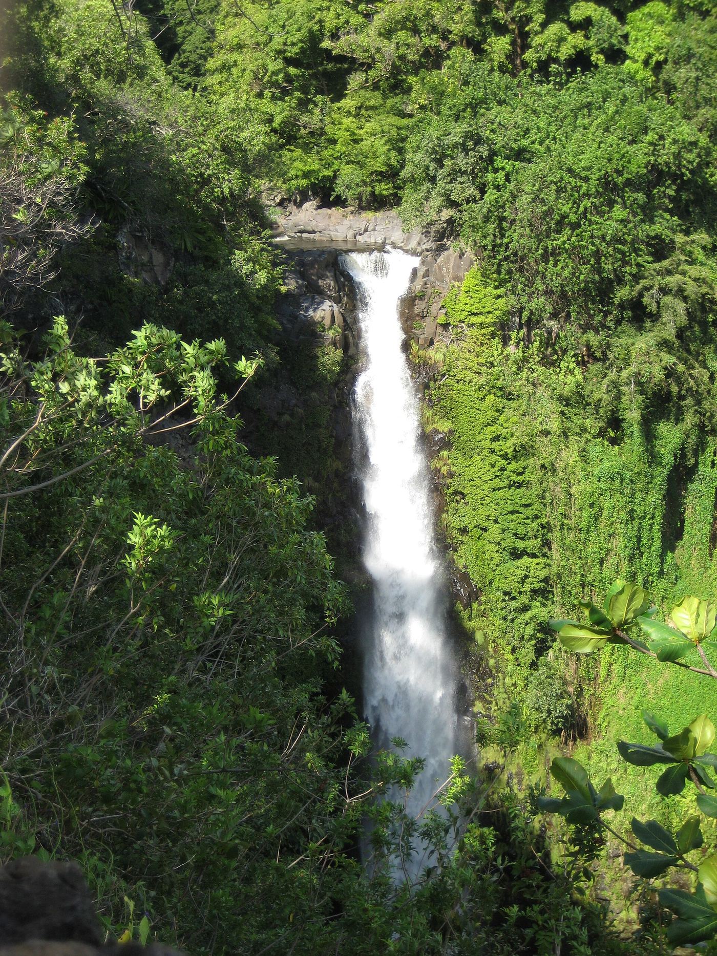
Official national park trail to an overlook
Hawaii
About 0.5 mile each way (1 mile round trip)
From the Kīpahulu parking area, walk toward the visitor center and follow the paved trail in front of it to a T-intersection. Turn left onto the Pīpīwai Trail. About 0.5 mile in is the overlook of the nearly 200-foot Makahiku Falls. Turn around there for a 1-mile round trip, or continue 1.5 miles to Waimoku Falls.
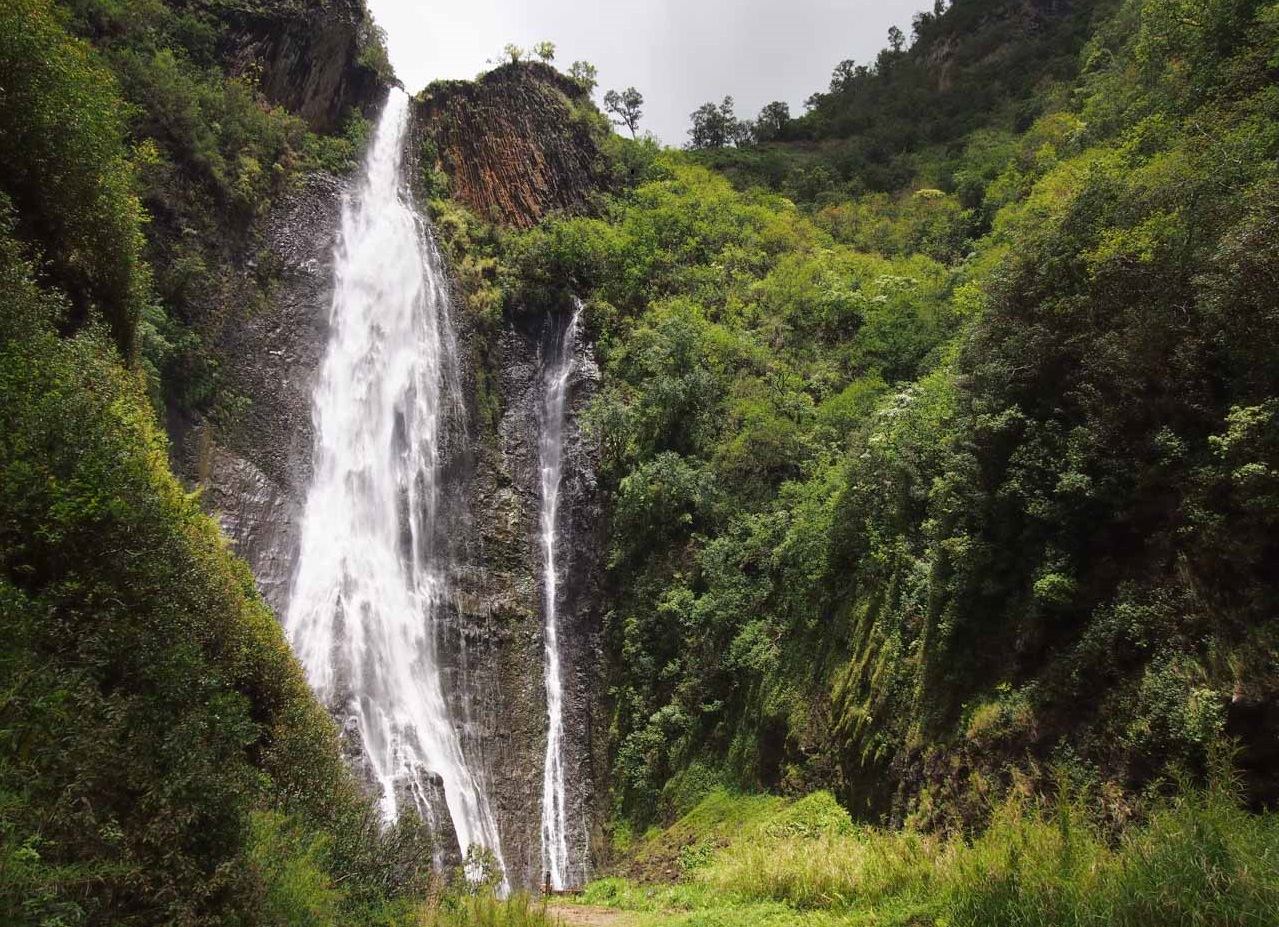
Private access; no public walking route
Hawaii
No public walking route
Private Hanapepe Valley waterfall. The landing operator reports no public trail, road or parking at the falls.
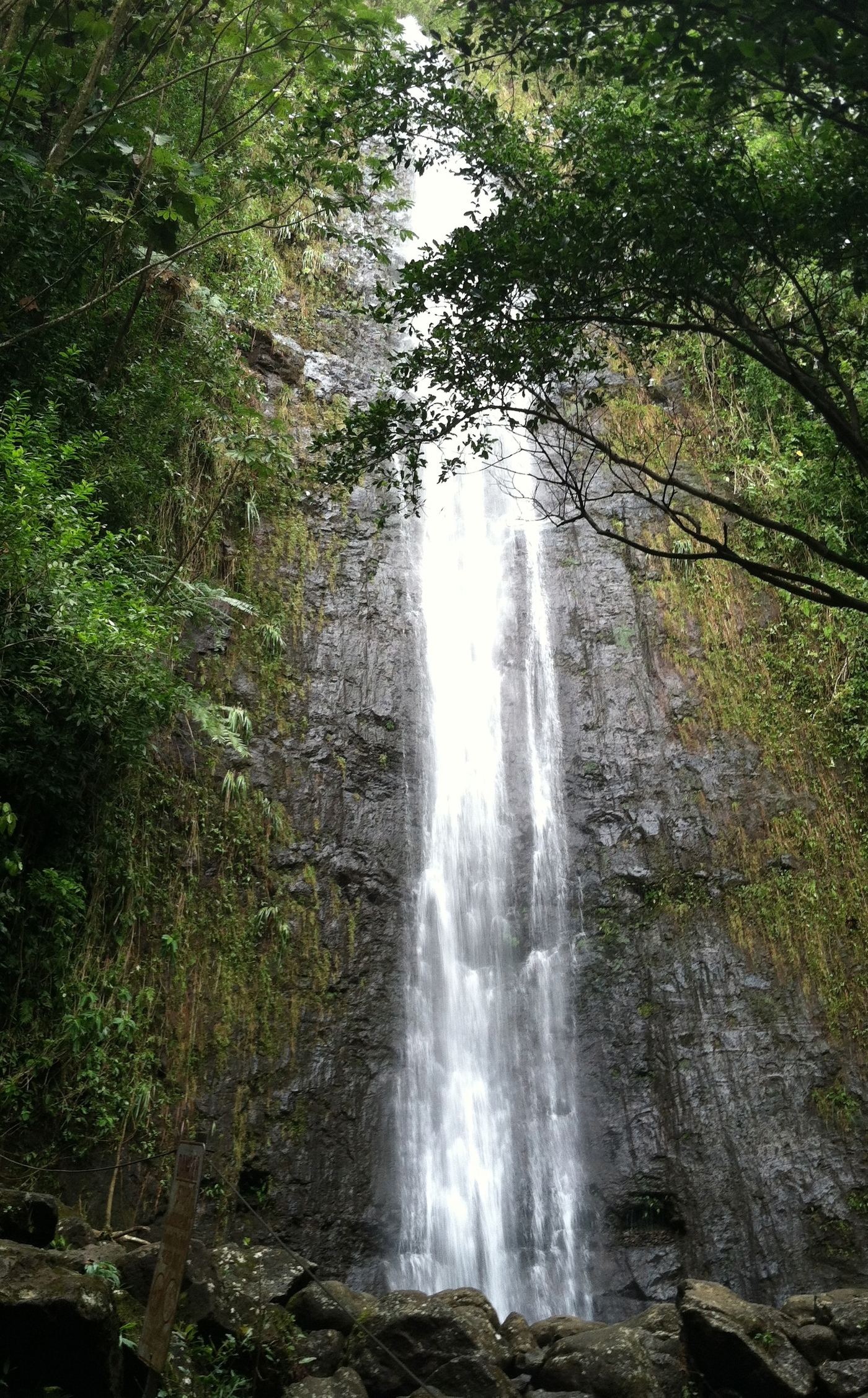
Firsthand route, distance and paid parking documented
Hawaii
About 1.9 miles return
From the parking lot by the old Paradise Park entrance, walk up to the trailhead gazebo and follow the Manoa Falls Trail through rainforest, a bamboo grove and up a long stairway to the falls. Stay behind the signed rope; the area beside the pool has a rockfall hazard. Return the same way.
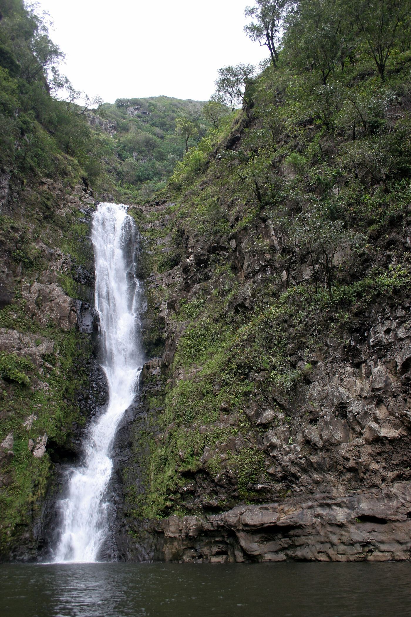
Partial guide: private land; guided hike only; current guide availability unverified
Hawaii
Measured trail distance not verified
Halawa Valley land is private. Hawaii Magazine reports an approved guide must accompany visitors to Moaula Falls. Its writer hiked with Mystical Molokai past historic sites and crossed the stream, waist deep after rain. Book an approved guide; do not hike in on your own.
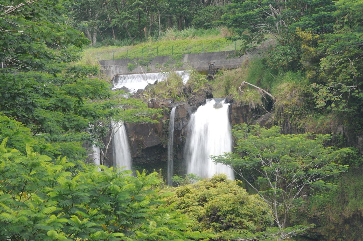
Official state park lookout with fees and hours documented
Hawaii
Short walk from the parking area to the lookout
Pe'epe'e Falls is an 80-foot waterfall on the Wailuku River, seen from a distance at the Boiling Pots lookout in Wailuku River State Park. Drive up Waianuenue Avenue from Hilo and turn onto Pe'epe'e Falls Drive to the Boiling Pots parking. Do not go down to the pools when the river is high; people have been swept away.
State wayside with paved path to small falls
Hawaii
Short paved path; distance not given by the state
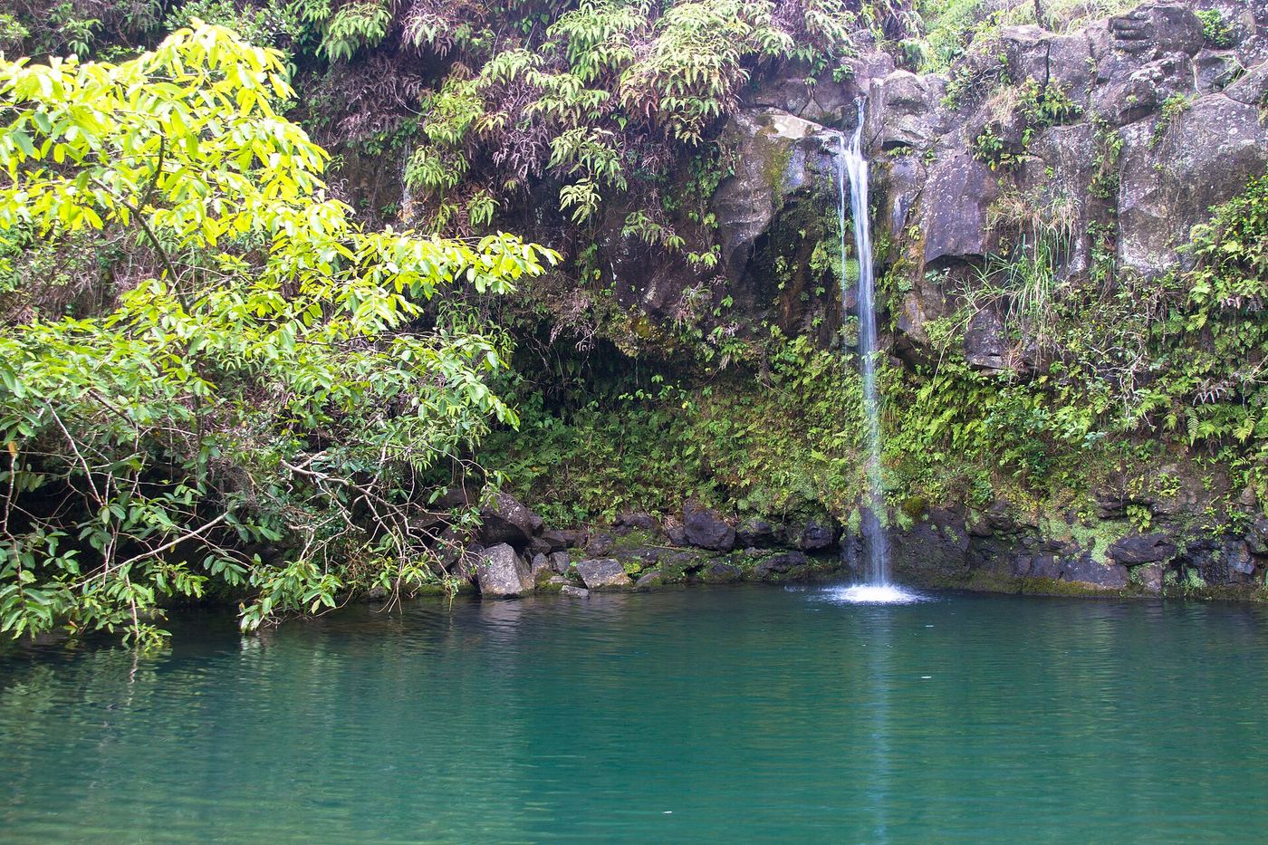
Puaʻa Kaʻa State Wayside is a small state park about half a mile past mile marker 22 on the Hāna Highway. From the large paved lot on the ocean side, a paved trail leads to several small falls and pools and a picnic area. A larger falls upstream is reached by a dirt trail that crosses a viaduct; it is muddy and is not covered here.
State park lookout; fee for non-residents
Hawaii
Short lookout walk; measured distance not published
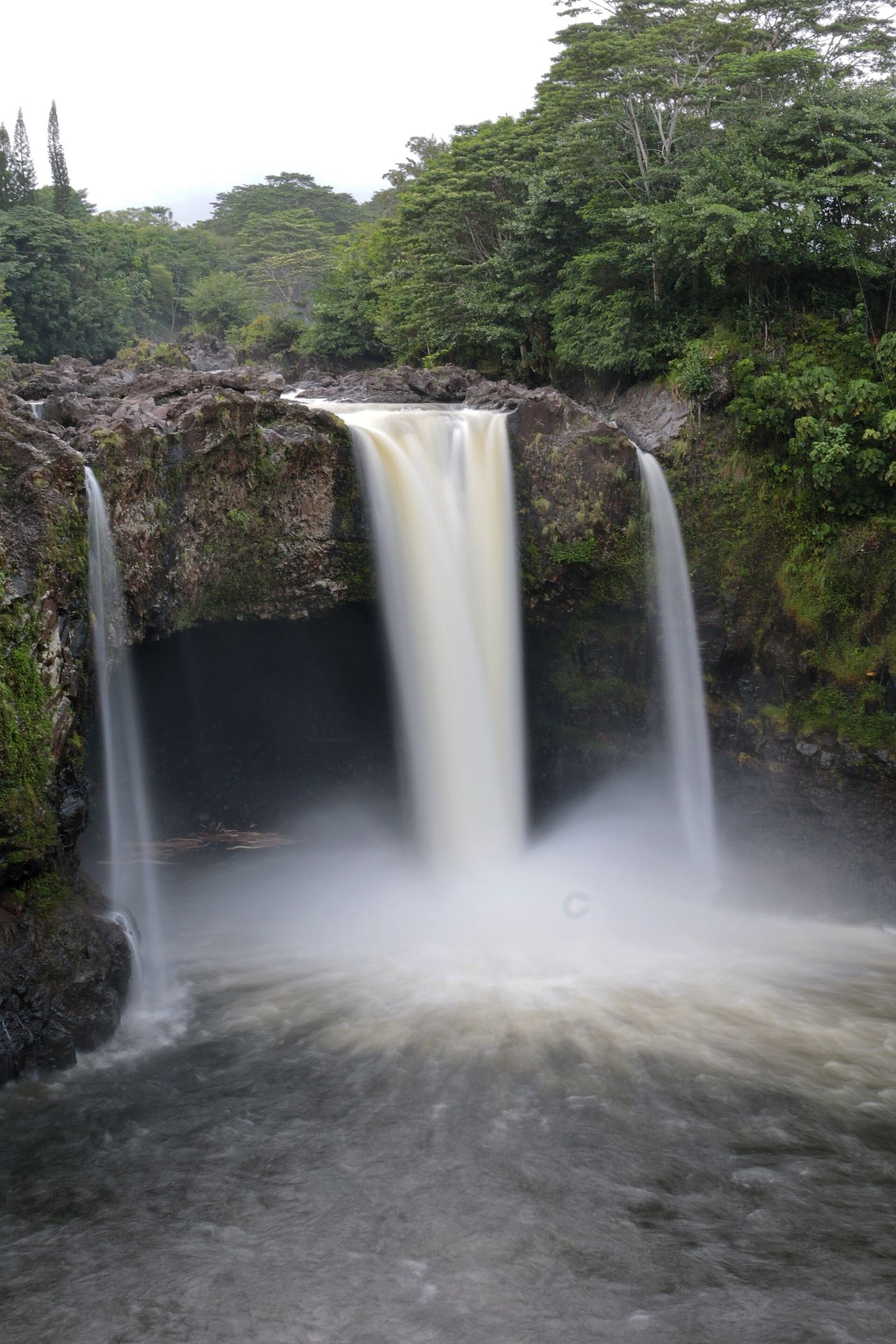
Rainbow Falls (Waianuenue) is an 80-foot falls in Wailuku River State Park, Hilo, known for rainbows in its mist. The Rainbow Falls area is on Rainbow Drive off Waianuenue Avenue. The same entry fee covers the separate Boiling Pots area.
Roadside view documented; limited informal parking
Hawaii
Roadside view from the bridge; a short scramble leads to the base
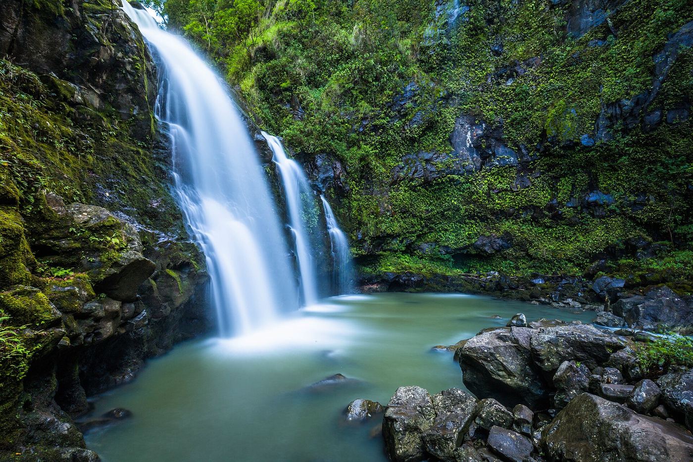
Upper Waikani Falls, also called Three Bears Falls, is a roughly 70-foot waterfall with three side-by-side streams beside a bridge on the Hana Highway, about 0.3 miles past mile marker 19. View it from the roadside. A slippery path on either side of the bridge leads down to the base; the mountain side is steeper. Watch for traffic when walking on the highway.
Route and parking documented; current overlook access unconfirmed
Hawaii
Roadside viewing; no hiking distance claimed
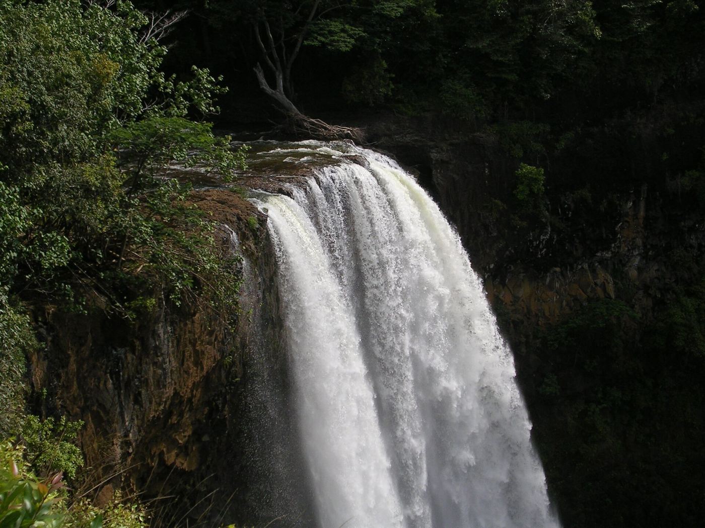
The Kauai visitor guide describes viewing Wailua Falls from the established roadside lookout reached by Maalo Road (Highway 583). Remain at the overlook. The current DLNR storm notice only expressly describes reopening river and landing/trailhead access, so it does not clearly establish this roadside overlook’s current status. Confirm with State Parks before traveling.
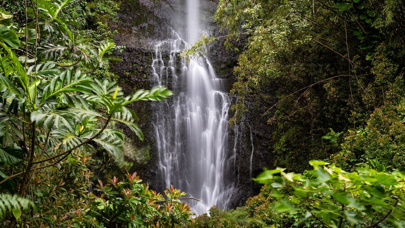
Roadside waterfall with small parking area; short slippery path to base
Hawaii
Roadside view; short path to the base, length not measured
Wailua Falls on Honolewa Stream drops about 80 feet beside the Hana Highway just past mile marker 45, beyond Hana toward Kipahulu. The falls are visible from the road near the bridge. A short path leads to the base and pool.
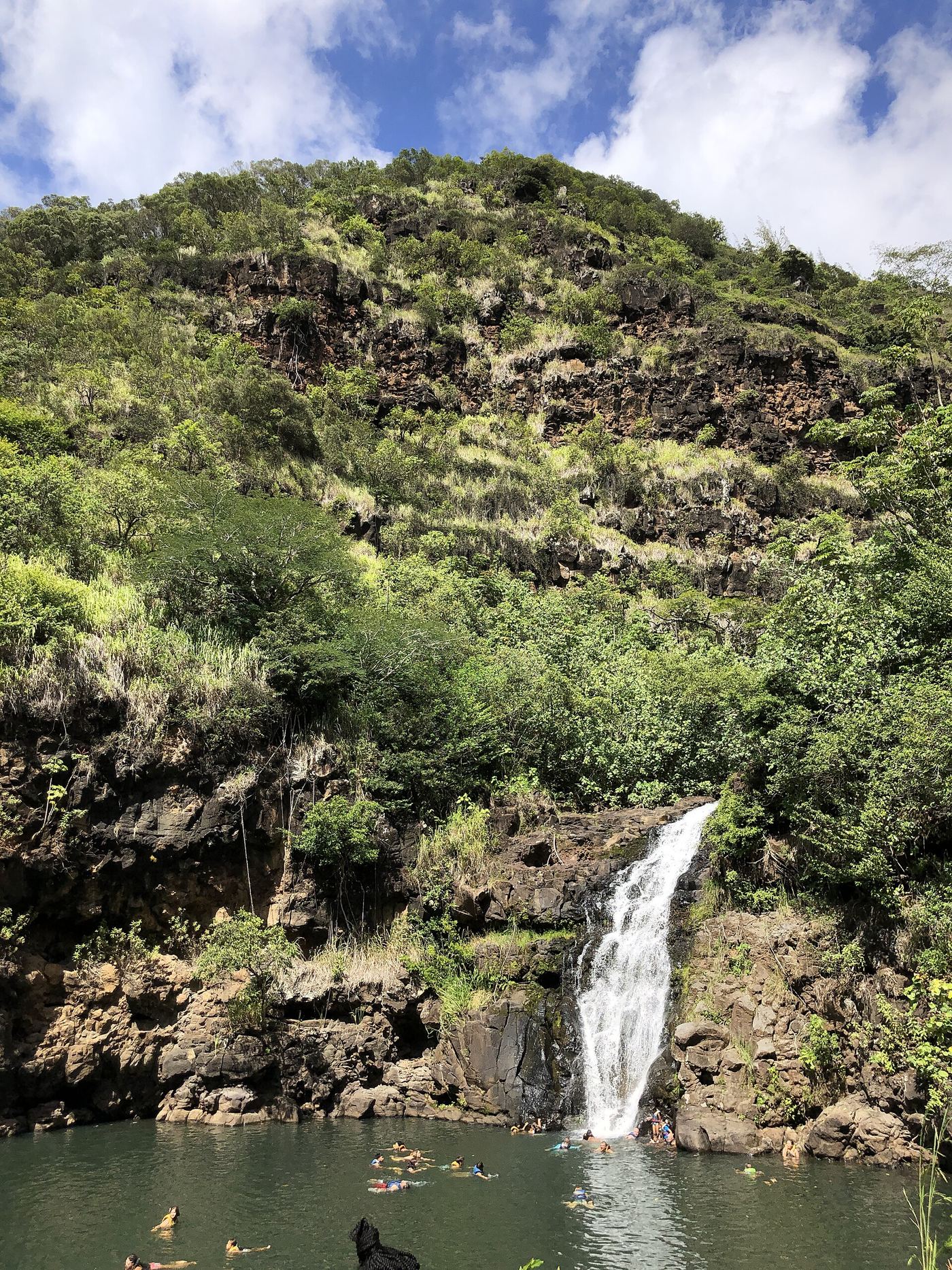
Official paved path to the falls; paid admission
Hawaii
About 3/4 mile each way (about 1.5 miles return)
Waimea Valley is a nonprofit botanical garden and cultural site on the North Shore of Oahu, across Kamehameha Highway from Waimea Bay. Buy admission at the visitor center, then follow the paved main path through the gardens to the 40-foot Waimea Falls at its end. Side trails are optional. Return the same way. A paid shuttle is available for guests who prefer not to walk.
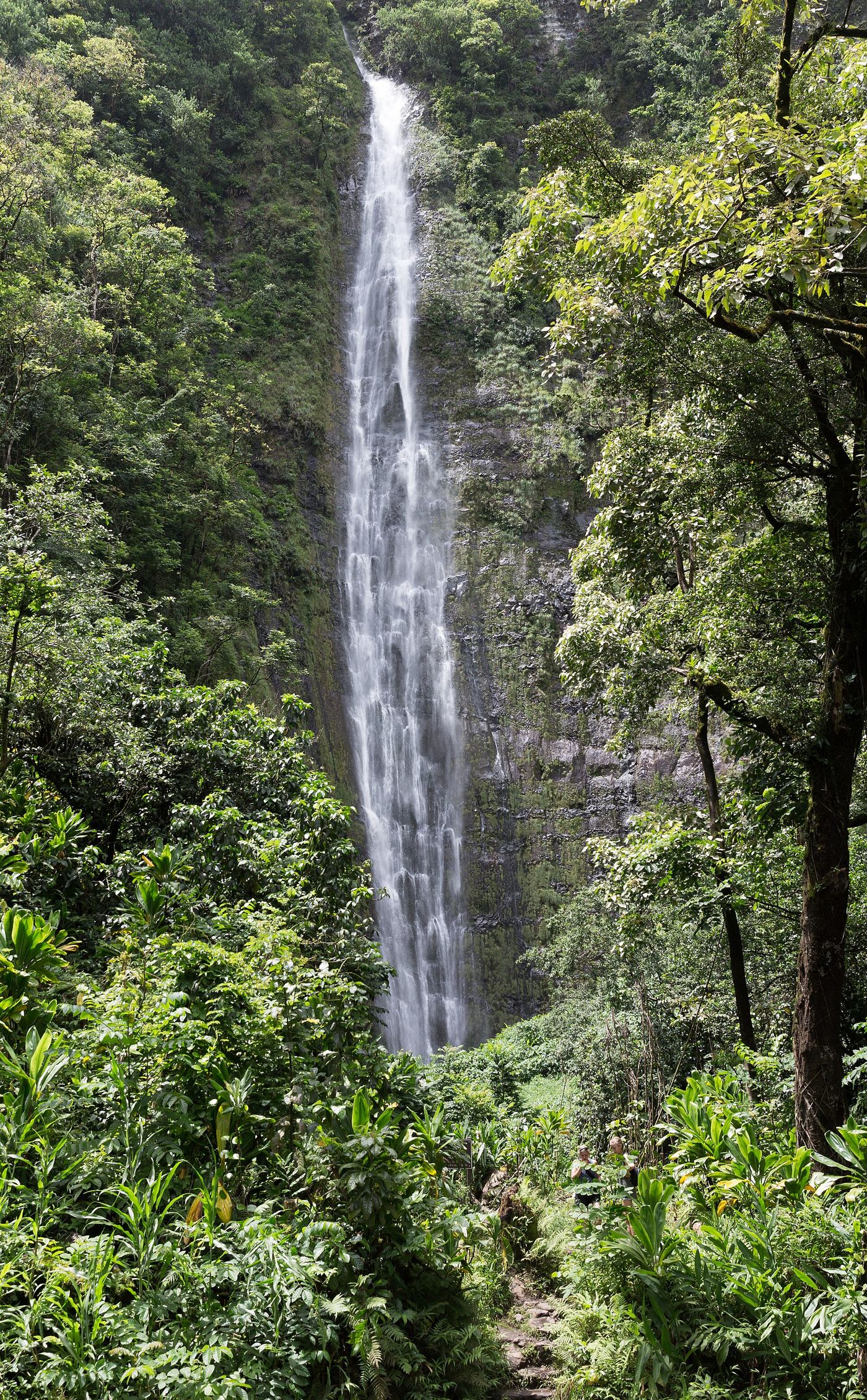
Official trail, distance and entrance fee documented
Hawaii
4 miles return (2 miles each way)
The Pīpīwai Trail is an official National Park Service trail in the Kīpahulu District. It passes the Makahiku Falls overlook at 0.5 miles and a bamboo forest at about one mile, then ends at the Waimoku Falls viewing area after two miles. Return the same way.
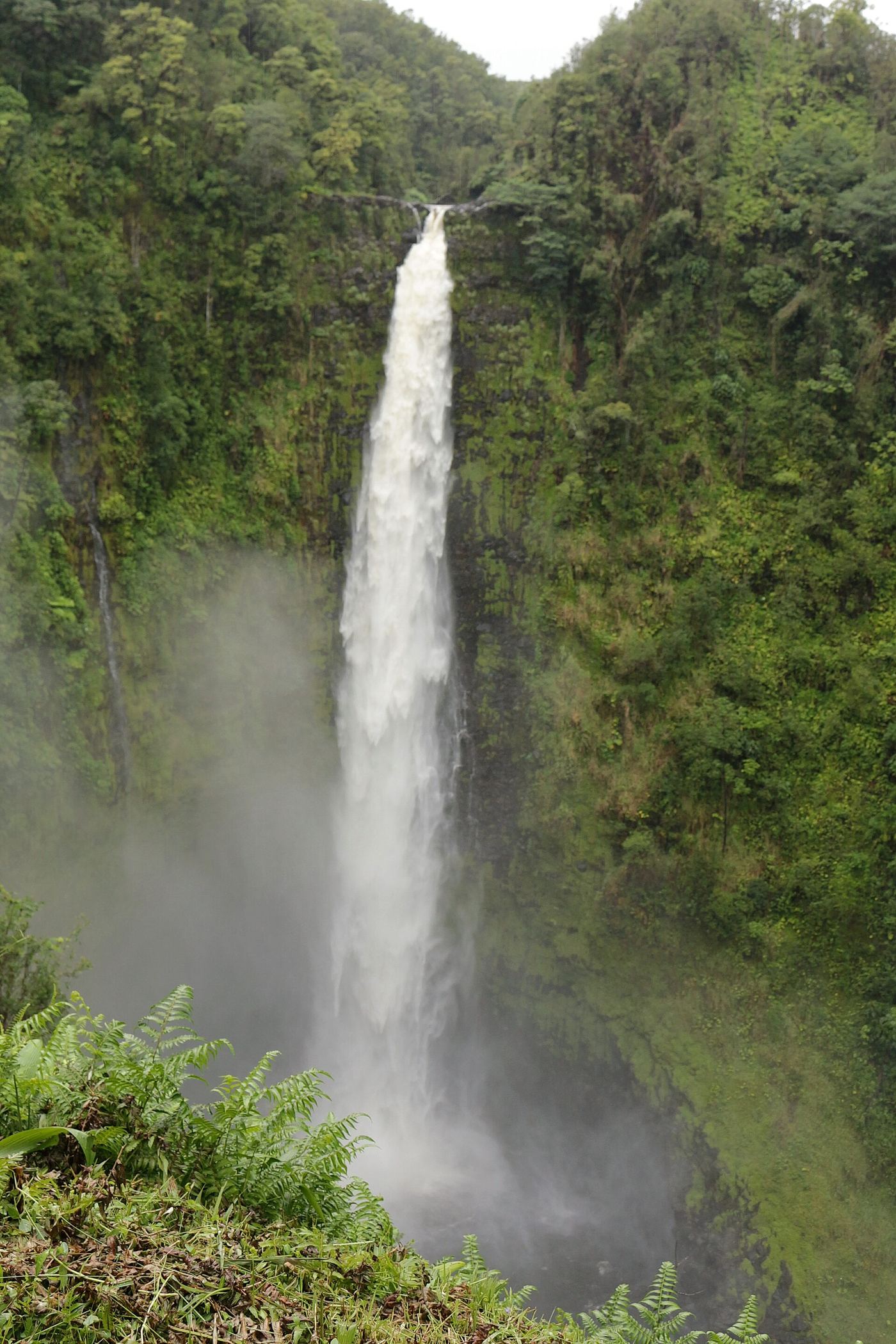
Official state park route, fees and hours; partial trail closure October 2026
Hawaii
0.4-mile loop
Park at the end of 'Akaka Falls Road (Highway 220), 3.6 miles southwest of Honomu. The paved loop trail starts at the parking lot. To see 'Akaka Falls only, take the left (south) path at the first junction. The full loop also passes Kahuna Falls.
Published short route and cemetery lot parking documented; lot closes 5 p.m.
Hawaii
About 0.5 miles return
Kapena Falls is a 15-foot waterfall with a wide pool on Nuuanu Stream in Honolulu. Drive up Nuuanu Avenue and turn into Nuuanu Memorial Park and Mortuary (navigate to the cemetery, not to the falls). Follow the driveway past the cemetery to the small parking lot at the end. The path starts on the left beyond a green sign for Kapena Falls visitors. Petroglyphs are in a small barred cave on the left, and the stream is on the right.
Location map; no photo available.
Private property; paid advance reservation required; exact location match not confirmed
Hawaii
Property trails; no distance to the falls published
Kulaniapia Falls, over 120 feet tall, is on private land at the Inn at Kulaniapia Falls, about 15 minutes from Hilo. There is no access without an advance reservation. Book a daypass (or stay overnight), check in at the office, sign the liability waiver, then use the property trails to the falls. Swimming, kayaking and paddleboarding are allowed only when staff say river conditions are safe.
Location map; no photo available.
Partial guide: 2017 published route; lot permission and land ownership not confirmed
Hawaii
About 2 miles each way (4 miles round trip)
Honolulu Magazine says to park in the Koʻolau Golf Club lot near First Presbyterian Church, 45-550 Kionaʻole Road, Kāneʻohe. On Sundays, park only after 11:30 a.m. out of respect for church services. Follow the trail uphill; at the water tank covered with graffiti, keep left. The trail is wet and muddy and ends at a small falls. Permission to use the golf club lot, and who owns the trail land, were not confirmed.
Location map; no photo available.
Roadside bridge view documented; exact tier not confirmed
Hawaii
Roadside view from the bridge; the optional rough trail is about 600 meters
Waiale Falls is a double waterfall on the Wailuku River above Hilo. Park along Waianuenue Avenue near 2070 Waianuenue Ave and view the falls from the highway bridge. A difficult, overgrown trail starts at the north end of the bridge and leads about 600 meters to the top of the falls. Do not swim; flash floods have swept people away and leptospirosis is present. Which tier this listing is has not been confirmed.
Location map; no photo available.
Hawaii
Falls-specific walking distance unknown
Use the garden's self-guided visitor route to Onomea Waterfall.
Location map; no photo available.
Hawaii
Short lower-falls walk; measured distance unknown
Enter beside the farm stand and use the lower-falls paths permitted by staff.
Location map; no photo available.
Partial guide: free city garden; falls location inside the garden not confirmed
Hawaii
Short walk inside a city garden; distance not given
Waikahalulu Falls is a small falls on Nuʻuanu Stream in urban Honolulu. The falls are at Liliʻuokalani Botanical Garden, a free City and County of Honolulu garden at 123 N. Kuakini Street, open 7:00 a.m. to 5:00 p.m. The city page reviewed does not mention the waterfall by name, so the exact viewing spot inside the garden is not confirmed. Swimming in the urban stream is not advised.
Location map; no photo available.
Roadside viewpoint documented; informal roadside parking
Hawaii
Roadside view; no measured walk
Drive the Hana Highway to about 0.3 miles past mile marker 19. Pull fully off the road in the small turnout before the bridge or another safe spot, then walk carefully to the bridge to view the three cascades. A slippery informal path leads down to the base from the far side of the bridge.
Location map; no photo available.
Partial guide: unmarked route, land permission and exact fork unconfirmed
Hawaii
About 0.75 mile (route total as published by a visitor)
A firsthand visitor account starts at an unmarked trailhead on the side of Nuʻuanu Pali Drive, closest to the guardrail. The route crosses Waipuhia Stream, then follows the stream to a split. The author says the left fork is easier and more popular. It is not confirmed which fork leads to this falls.
Location map; no photo available.
Bridge viewpoint with roadside parking; overgrown trail to top; no swimming
Hawaii
Bridge sidewalk view; optional overgrown trail of about a quarter mile one way to the top of the falls
Waiale (Wai'ale) Falls is on the Wailuku River upstream of Rainbow Falls and Boiling Pots in Hilo. The usual view is from the sidewalk at the center of the Waianuenue Avenue bridge. An overgrown, unmaintained trail starts at the north end of the bridge and leads to the top of the falls.
Location map; no photo available.
Partial guide: distant view from the weir only; current gate status unconfirmed
Hawaii
About 8 miles return to the weir viewpoint
The Weeping Wall is the waterfall-streaked inner wall of Mount Waialeale. Hawaii-Guide routes visitors from the Keahua Arboretum parking lot along the Wailua Forest Management Road (left at the fork) to the gate and then the stream diversion weir, where you can see into the basin when clouds allow. The guide deliberately does not route visitors to the base of the wall, which it calls extremely difficult and technical.
Location map; no photo available.