Waipuhia Falls
Honolulu County, Hawaii
Your visit at a glance
- Waterfall height
- Not recorded
- Location
- Honolulu County, Hawaii
- Access status
- Partial guide: unmarked route, land permission and exact fork unconfirmed
- The walk
- About 0.75 mile (route total as published by a visitor)
- Ground & access
- There is hardly a trail; the author says it is easy to get lost and route-finding is needed. Stream crossings. Flash flood risk on the final stretch along the stream. The falls only flow during or just after heavy rain.
A firsthand visitor account starts at an unmarked trailhead on the side of Nuʻuanu Pali Drive, closest to the guardrail. The route crosses Waipuhia Stream, then follows the stream to a split. The author says the left fork is easier and more popular. It is not confirmed which fork leads to this falls.
Plan your visit
Nuʻuanu Pali Drive near the Pali Lookout: unmarked forest route to Waipuhia Falls
Noah Lang's visitor account gives a distance of 0.75 mile for the route. It does not state whether this is one way or return. The author says the short distance understates the difficulty.
There is hardly a trail; the author says it is easy to get lost and route-finding is needed. Stream crossings. Flash flood risk on the final stretch along the stream. The falls only flow during or just after heavy rain.
Where to start
The visitor account says parking is on the side of Nuʻuanu Pali Drive, just off the Pali Lookout, and warns of petty theft. Whether this roadside parking and the forest route are permitted by the land manager is not confirmed.
Timing & water
Rain-fed waterfall; it flows only during or just after heavy rain. Do not follow the stream in heavy rain.
Before you go
Current fees and reservation requirements unknown.
Visitor informationMore waterfalls nearby
Within 40 straight-line miles. Road and trail distances will differ.
- Likeke FallsPartial guide: 2017 published route; lot permission and land ownership not confirmedHonolulu County, HI1.0 miE
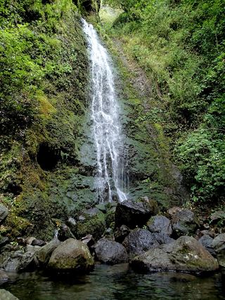 Lulumahu FallsPermit-required watershed trail documentedHonolulu County, HI1.2 miSE
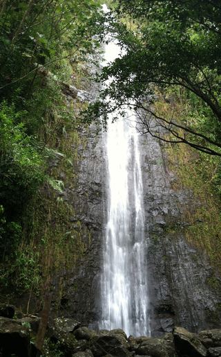 Manoa FallsFirsthand route, distance and paid parking documentedHonolulu County, HI1.6 miS
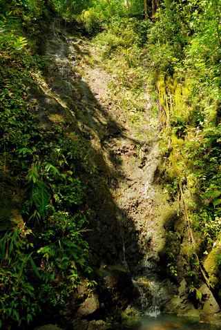 Aihualama FallsHonolulu County, HI1.7 miS
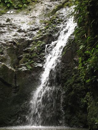 Maunawili Falls15 ft (4.5 m) · Honolulu County, HI2.5 miSE
- Waikaekua waterfallHonolulu County, HI2.5 miSE
- Kapena FallsPublished short route and cemetery lot parking documented; lot closes 5 p.m.Honolulu County, HI3.7 miSW
- PuehuehuHonolulu County, HI4.4 miSW
- Waikahalulu FallsPartial guide: free city garden; falls location inside the garden not confirmedHonolulu County, HI4.4 miSW