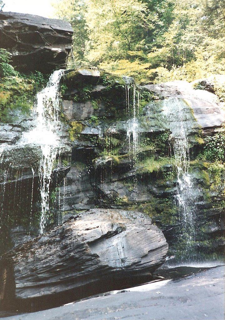
Waterfalls near Wawarsing, NY
49 named waterfalls within 30 miles of Wawarsing, closest first. Distances are straight-line from the town center.
Visits with route details
Read the walking route, starting point and current access notes.
- Stony Kill FallsState park trail with steps and footbridges; parking on Shaft 2A RoadUlster County, NY
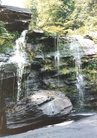 Hanging Rock FallsPartial guide: informal path; land ownership and parking permission not statedUlster County, NY
- Rainbow FallsState park carriage road and footpath; seasonal flowUlster County, NY
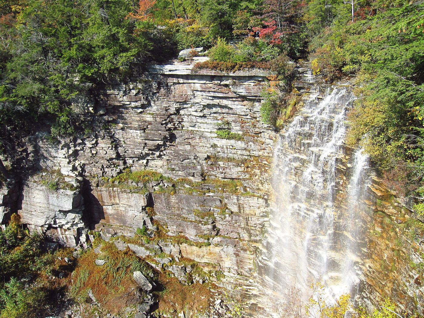
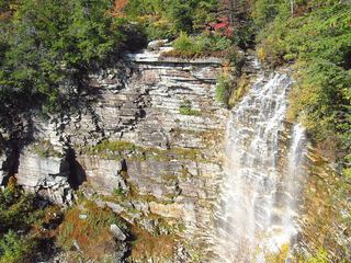 Verkeerderkill FallsLong Path to a landowner-permitted overlook; trail beyond the overlook is closedUlster County, NY
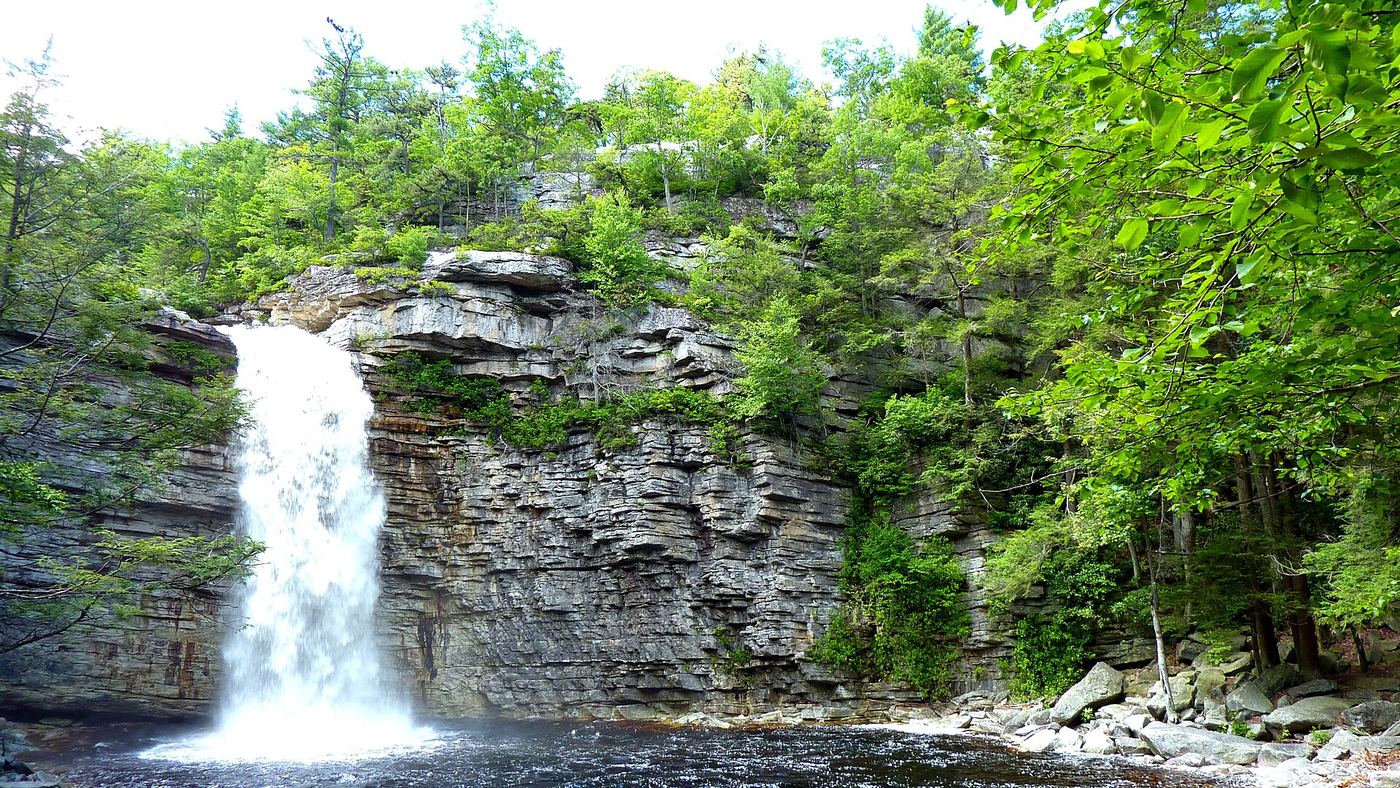
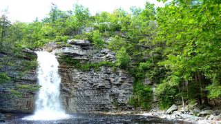 Awosting FallsState park preserve carriage road; short walk from the Awosting lot; vehicle feeUlster County, NY
- Sheldon FallsPartial guide: no designated trail; informal streamside route and a stream crossingUlster County, NY
- Peter's Kill FallsPartial guide: no designated trail; off-trail stream walk and the park advises staying on trailsUlster County, NY
- Horseshoe Mines FallsShort unmarked path and roadside parking documentedUlster County, NY
- Vernooy Kill FallsPartial guide: marked DEC trail to the main falls; the exact drop this listing marks is uncertainUlster County, NY
- Buttermilk FallsPartial guide: short path, but legal parking at the pull-off is not confirmed under DEC corridor rulesUlster County, NY
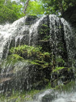 Mullet FallsMarked DEC trail from the Katrina Falls parking areaSullivan County, NY
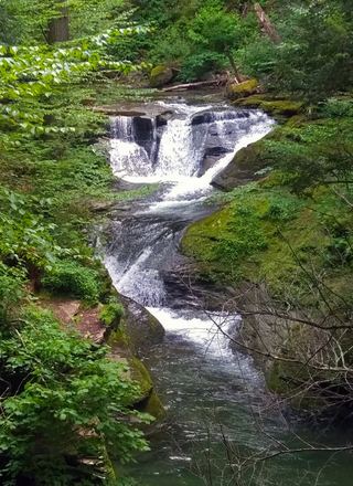 Otter FallsPartial guide: road walk on Route 47 and an unmarked side path; not a marked trailUlster County, NY
- High FallsState unique area trail; rocky and challengingSullivan County, NY
- LG waterfallPartial guide: the trail to the waterfall and its exact location are unknownDutchess County, NY
- Schalks FallsPartial guide: roadside bridge view; land beside the falls is posted and parking is not described13 ft (4 m) · Ulster County, NY
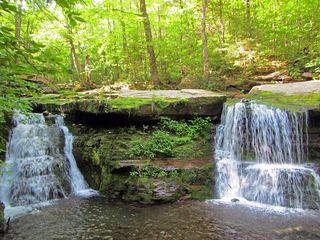 Diamond Notch FallsState wilderness trail; about a mile one way15 ft (4.6 m) · Greene County, NY
- Bridal Veil FallsPartial guide: informal path to an unfenced cliff-edge lookout with many past deaths89 ft (27 m) · Greene County, NY
- Plattekill FallsShort preserve trail; dangerous drop-off at Hell's Hole75 ft (23 m) · Greene County, NY
- Old Mill FallsPartial guide: view from the footbridge documented; walking distance from the parking area not given13 ft (4 m) · Greene County, NY
- Hells Hole FallsRoadside bridge view; private land around the falls39 ft (12 m) · Greene County, NY
Closest with a photo
All 49 waterfalls
- Mine Hole Falls23 ft (7 m) · Ulster County, NY1.7 miSE
- Witches Hole WaterfallUlster County, NY2.5 miS
- Little Stony Kill FallsUlster County, NY2.7 miE
- Stony Kill FallsState park trail with steps and footbridges; parking on Shaft 2A RoadUlster County, NY3.6 miSE
- Hanging Rock FallsPartial guide: informal path; land ownership and parking permission not statedUlster County, NY3.8 miW
- North Gully FallsUlster County, NY3.8 miS
- Nevele Falls36 ft (11 m) · Ulster County, NY4.8 miSW
- Rainbow FallsState park carriage road and footpath; seasonal flowUlster County, NY5.2 miSE
- Verkeerderkill FallsLong Path to a landowner-permitted overlook; trail beyond the overlook is closedUlster County, NY5.3 miS
- Awosting FallsState park preserve carriage road; short walk from the Awosting lot; vehicle feeUlster County, NY6.4 miE
- Sheldon FallsPartial guide: no designated trail; informal streamside route and a stream crossingUlster County, NY6.7 miE
- Peter's Kill FallsPartial guide: no designated trail; off-trail stream walk and the park advises staying on trailsUlster County, NY6.7 miE
- Horseshoe Mines FallsShort unmarked path and roadside parking documentedUlster County, NY6.9 miSW
- Saw Mill FallsUlster County, NY6.9 miE
- Vernooy Kill FallsPartial guide: marked DEC trail to the main falls; the exact drop this listing marks is uncertainUlster County, NY7.9 miN
- Metacahonts FallsUlster County, NY9.1 miNE
- Mossy Brook WaterfallUlster County, NY11 miE
- Buttermilk FallsPartial guide: short path, but legal parking at the pull-off is not confirmed under DEC corridor rulesUlster County, NY12 miN
- High Falls WaterfallUlster County, NY13 miNE
- Winchell's FallsUlster County, NY14 miNE
- Katrina FallsSullivan County, NY17 miSW
- Cornell FallsUlster County, NY17 miN
- High FallsUlster County, NY18 miNW
- Mullet FallsMarked DEC trail from the Katrina Falls parking areaSullivan County, NY19 miSW
- Otter FallsPartial guide: road walk on Route 47 and an unmarked side path; not a marked trailUlster County, NY19 miN
- Denton FallsSullivan County, NY19 miSW
- Coward's FallsUlster County, NY20 miNE
- High FallsState unique area trail; rocky and challengingSullivan County, NY21 miSW
- LG waterfallPartial guide: the trail to the waterfall and its exact location are unknownDutchess County, NY23 miE
- Wildcat FallsSullivan County, NY25 miNW
- Glenerie FallsUlster County, NY26 miNE
- Glenerie FallsUlster County, NY27 miNE
- Black Chasm Falls131 ft (40 m) · Greene County, NY29 miNE
- Hidden Falls7 ft (2 m) · Ulster County, NY29 miNE
- Lemon Squeeze Falls7 ft (2 m) · Ulster County, NY29 miNE
- Schalks FallsPartial guide: roadside bridge view; land beside the falls is posted and parking is not described13 ft (4 m) · Ulster County, NY29 miNE
- Blue Hole Falls10 ft (3 m) · Greene County, NY29 miNE
- Diamond Notch FallsState wilderness trail; about a mile one way15 ft (4.6 m) · Greene County, NY29 miN
- Red Rock Falls16 ft (5 m) · Greene County, NY29 miNE
- Green Hole Falls23 ft (7 m) · Greene County, NY29 miNE
- Grey Rock Falls43 ft (13 m) · Greene County, NY29 miNE
- Lower Ghost (Japanese) Falls75 ft (23 m) · Greene County, NY29 miNE
- Bridal Veil FallsPartial guide: informal path to an unfenced cliff-edge lookout with many past deaths89 ft (27 m) · Greene County, NY29 miNE
- Upper Ghost (Japanese) Falls39 ft (12 m) · Greene County, NY29 miNE
- Lower Bridal Veil Falls39 ft (12 m) · Greene County, NY29 miNE
Show the other 4 waterfalls, 29 mi to 30 mi away
- Plattekill FallsShort preserve trail; dangerous drop-off at Hell's Hole75 ft (23 m) · Greene County, NY29 miNE
- Old Mill FallsPartial guide: view from the footbridge documented; walking distance from the parking area not given13 ft (4 m) · Greene County, NY29 miNE
- Hells Hole FallsRoadside bridge view; private land around the falls39 ft (12 m) · Greene County, NY29 miNE
- Upper Hell Hole FallsGreene County, NY30 miNE