Waterfalls near Harrisonburg, VA
18 named waterfalls within 30 miles of Harrisonburg, closest first. Distances are straight-line from the town center.
Visits with route details
Read the walking route, starting point and current access notes.
- Upper Doyles River FallsGuide: park trail down to the upper falls28 ft (8.5 m) · Albemarle County, VA
- Lower Doyles River FallsNational park trail from a Skyline Drive parking area; entrance fee62 ft (19 m) · Albemarle County, VA
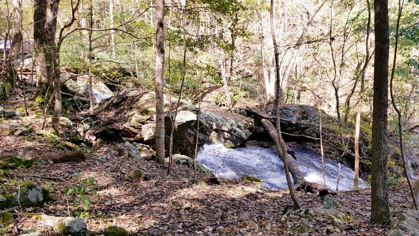
 Jones Run FallsNational park trail from a Skyline Drive parking area; entrance fee42 ft (12.8 m) · Albemarle County, VA
- Dry Run FallsFire road walk to a view of the falls; exact viewpoint not described; off-trail to the streamRockingham County, VA
- South River FallsOfficial park trail to an observation point; entrance fee89 ft (27 m) · Greene County, VA
- Naked Creek FallsPartial guide: off-trail creek descent; exact drop not confirmedPage County, VA
- Lewis Spring FallsOfficial park loop to a viewing platform; entrance fee79 ft (24 m) · Page County, VA
- Big Rock FallsPublished hike route and national park parking documentedMadison County, VA
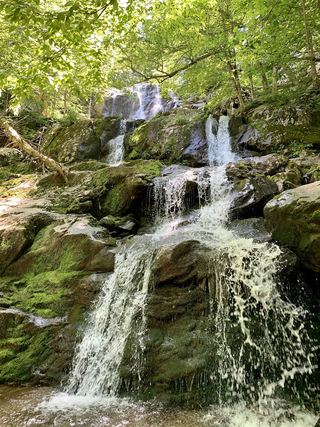 Dark Hollow FallsNational park trail route and parking documented69 ft (21 m) · Page County, VA
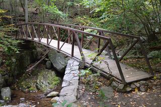 Rose River FallsGuide: 4-mile park loop past the falls66 ft (20 m) · Madison County, VA
- Cedar Run FallsGuide: wilderness trail to a falls with a swimming holeMadison County, VA
- Upper Whiteoak FallsNational park trail from a Skyline Drive parking area; entrance fee85 ft (26 m) · Madison County, VA
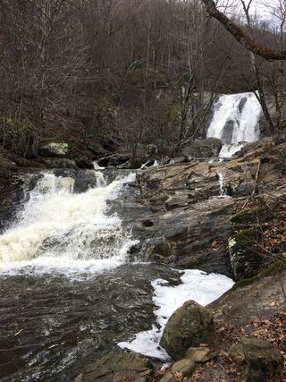 Lower Whiteoak FallsGuide: easy trail from the boundary parking area59 ft (18 m) · Madison County, VA
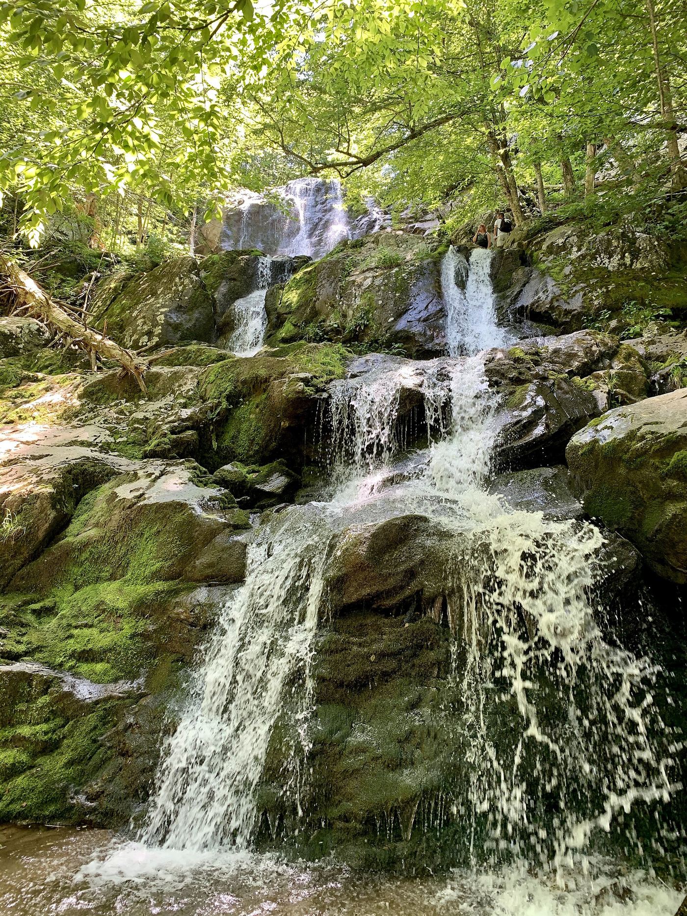
Closest with a photo
All 18 waterfalls
- Upper Doyles River FallsGuide: park trail down to the upper falls28 ft (8.5 m) · Albemarle County, VA17 miSE
- Lower Doyles River FallsNational park trail from a Skyline Drive parking area; entrance fee62 ft (19 m) · Albemarle County, VA17 miSE
- Jones Run FallsNational park trail from a Skyline Drive parking area; entrance fee42 ft (12.8 m) · Albemarle County, VA18 miSE
- Cedar FallsRockingham County, VA18 miE
- Dry Run FallsFire road walk to a view of the falls; exact viewpoint not described; off-trail to the streamRockingham County, VA19 miE
- South River FallsOfficial park trail to an observation point; entrance fee89 ft (27 m) · Greene County, VA21 miE
- Big Creek Falls151 ft (46 m) · Page County, VA21 miE
- Upper Big Creek Falls33 ft (10 m) · Page County, VA21 miE
- Naked Creek FallsPartial guide: off-trail creek descent; exact drop not confirmedPage County, VA22 miE
- Lewis Spring FallsOfficial park loop to a viewing platform; entrance fee79 ft (24 m) · Page County, VA23 miE
- Big Rock FallsPublished hike route and national park parking documentedMadison County, VA24 miE
- Dark Hollow FallsNational park trail route and parking documented69 ft (21 m) · Page County, VA25 miE
- Rose River FallsGuide: 4-mile park loop past the falls66 ft (20 m) · Madison County, VA26 miE
- Climbing Rose FallsMadison County, VA28 miE
- Cedar Run FallsGuide: wilderness trail to a falls with a swimming holeMadison County, VA28 miE
- Upper Whiteoak FallsNational park trail from a Skyline Drive parking area; entrance fee85 ft (26 m) · Madison County, VA28 miE
- Upper Whiteoak Falls62 ft (19 m) · Madison County, VA29 miE
- Lower Whiteoak FallsGuide: easy trail from the boundary parking area59 ft (18 m) · Madison County, VA29 miE