South River Falls
Greene County, Virginia
Your visit at a glance
- Waterfall height
- 89 ft (27 m)
- Location
- Greene County, Virginia
- Access status
- Official park trail to an observation point; entrance fee
- The walk
- 2.6-mile round trip to the observation point per the National Park Service
- Ground & access
- Forest trail with 850 feet of elevation gain to the observation point and one stream crossing. The extension to the base is steep and rocky.
South River Falls is an 83-foot waterfall in Shenandoah National Park. Just below the comfort station at the South River Picnic Grounds, take the blue-blazed South River Falls Trail. Cross the Appalachian Trail and stay on the South River Falls Trail to a stone-walled observation point that overlooks the falls. Retrace your steps, or continue on the steep, rocky trail to the base of the falls. The route has one stream crossing.
Plan your visit
South River Picnic Grounds, Skyline Drive mile 62.7, South River Falls Trail to the stone-walled observation point
The National Park Service gives a 2.6-mile round trip to the observation point, with 850 feet of elevation gain. Going on to the base of the falls adds a steep, rocky 1.5 miles. The NPS also lists a 3.3-mile circuit that reaches the base.
Forest trail with 850 feet of elevation gain to the observation point and one stream crossing. The extension to the base is steep and rocky.
Where to start
South River Picnic Grounds on Skyline Drive at mile 62.7. The trailhead is just below the comfort station.
Timing & water
The National Park Service lists the hike as open year round.
Before you go
No activity fee or reservation. An entrance pass is required for Shenandoah National Park; the National Park Service lists $30 for a private vehicle.
Visitor informationVisit sources
More waterfalls nearby
Within 40 straight-line miles. Road and trail distances will differ.
- Dry Run FallsFire road walk to a view of the falls; exact viewpoint not described; off-trail to the streamRockingham County, VA2.0 miNW
- Cedar FallsRockingham County, VA2.5 miNW
- Big Creek Falls151 ft (46 m) · Page County, VA5.9 miN
- Upper Big Creek Falls33 ft (10 m) · Page County, VA5.9 miN
- Naked Creek FallsPartial guide: off-trail creek descent; exact drop not confirmedPage County, VA8.2 miN
- Big Rock FallsPublished hike route and national park parking documentedMadison County, VA9.0 miNE
- Lewis Spring FallsOfficial park loop to a viewing platform; entrance fee79 ft (24 m) · Page County, VA10 miN
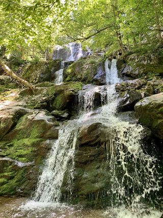 Dark Hollow FallsNational park trail route and parking documented69 ft (21 m) · Page County, VA10 miNE
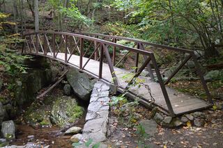 Rose River FallsGuide: 4-mile park loop past the falls66 ft (20 m) · Madison County, VA12 miNE