Dry Run Falls
Rockingham County, Virginia
Your visit at a glance
- Waterfall height
- Not recorded
- Location
- Rockingham County, Virginia
- Access status
- Fire road walk to a view of the falls; exact viewpoint not described; off-trail to the stream
- The walk
- 3.2 miles round trip per Virginia Trail Guide
- Ground & access
- Gentle fire road, often wet and muddy. Reaching the stream means an off-trail scramble down a ravine. Ticks can be heavy.
Dry Run Falls is a set of falls and cascades on Dry Run in Shenandoah National Park. Virginia Trail Guide describes parking at the South River Overlook, crossing Skyline Drive and walking down the Dry Run Falls Fire Road on the west side. The road passes Lost Cliffs. The falls can be seen from the road, though fallen trees can block the view. To get close to the stream you must bushwhack down the ravine; there is no path. Return the same way, uphill. The account does not pinpoint where along the road the falls are seen.
Plan your visit
South River Overlook, Skyline Drive mile 62.7, down the Dry Run Falls Fire Road to where the falls can be seen from the road
Virginia Trail Guide gives 3.2 miles round trip for the walk down the Dry Run Falls Fire Road from the South River Overlook. The account hears the stream a little over a mile in. It does not give the exact distance to the falls viewpoint.
Gentle fire road, often wet and muddy. Reaching the stream means an off-trail scramble down a ravine. Ticks can be heavy.
Where to start
South River Overlook on Skyline Drive at mile 62.7. The fire road starts across the drive on the west side.
Timing & water
No season limits are stated. The falls are small without recent rain.
Before you go
An entrance pass is required for Shenandoah National Park. The National Park Service lists $30 for a private vehicle.
Visitor informationVisit sources
More waterfalls nearby
Within 40 straight-line miles. Road and trail distances will differ.
- Cedar FallsRockingham County, VA0.8 miW
- South River FallsOfficial park trail to an observation point; entrance fee89 ft (27 m) · Greene County, VA2.0 miSE
- Big Creek Falls151 ft (46 m) · Page County, VA5.2 miNE
- Upper Big Creek Falls33 ft (10 m) · Page County, VA5.3 miNE
- Naked Creek FallsPartial guide: off-trail creek descent; exact drop not confirmedPage County, VA7.5 miNE
- Big Rock FallsPublished hike route and national park parking documentedMadison County, VA8.7 miNE
- Lewis Spring FallsOfficial park loop to a viewing platform; entrance fee79 ft (24 m) · Page County, VA9.4 miNE
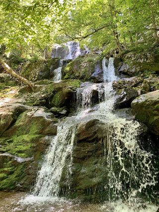 Dark Hollow FallsNational park trail route and parking documented69 ft (21 m) · Page County, VA10 miNE
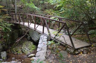 Rose River FallsGuide: 4-mile park loop past the falls66 ft (20 m) · Madison County, VA11 miNE