Rose River Falls
Madison County, Virginia
Your visit at a glance
- Waterfall height
- 66 ft (20 m)
- Location
- Madison County, Virginia
- Access status
- Guide: 4-mile park loop past the falls
- The walk
- 4-mile circuit (NPS)
- Ground & access
- Wilderness trail with a steep, rocky section after the falls and about one mile of uphill fire road at the end. The park lists 910 feet of elevation gain.
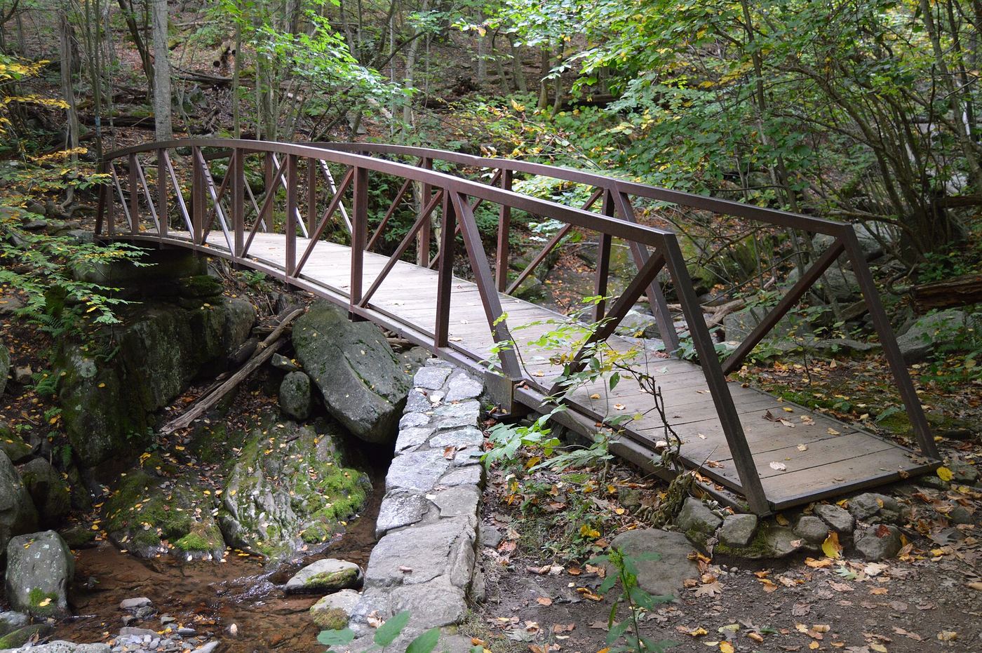
Photo credit
Photo: Nyttend, Public domain, via Wikimedia CommonsRose River Falls is a 67-foot waterfall on the Rose River Loop Trail in the Shenandoah Wilderness. From the north end of Fishers Gap parking area, cross Skyline Drive and start down the fire road. Just after the chain, turn left onto the yellow-blazed Skyland-Big Meadows Horse Trail. In about 0.6 mile take the blue-blazed Rose River Loop Trail and follow it past the falls. Continue to the bridge, then climb a steep, rocky section past cascades. At the fire road, turn right across the bridge and walk about one mile uphill back to Skyline Drive. A short side trip from the fire road leads to the base of Dark Hollow Falls.
Plan your visit
Fishers Gap parking area (Skyline Drive mile 49.4), Skyland-Big Meadows Horse Trail to the Rose River Loop Trail, past the falls and back on Rose River Road
The National Park Service gives the Rose River Falls hike as a 4-mile circuit. Its trip guide gives 4 to 4.4 miles and places the falls before the 1.6 to 1.8 mile point of the loop. Going back the way you came from the falls instead of finishing the loop is not measured by the park.
Wilderness trail with a steep, rocky section after the falls and about one mile of uphill fire road at the end. The park lists 910 feet of elevation gain.
Where to start
Fishers Gap Overlook or the parking area just north of it, Skyline Drive mile 49.4. The park notes it is popular on weekends.
Timing & water
The park lists the hike as open year-round.
Before you go
Shenandoah National Park entrance fee required: $30 per private vehicle, valid for seven days. The park does not accept cash. No booking is needed for this hike.
Visitor informationVisit sources
More waterfalls nearby
Within 40 straight-line miles. Road and trail distances will differ.
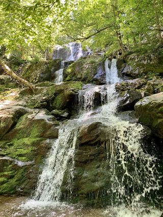 Dark Hollow FallsNational park trail route and parking documented69 ft (21 m) · Page County, VA1.2 miSW
- Cedar Run FallsGuide: wilderness trail to a falls with a swimming holeMadison County, VA2.4 miE
- Lewis Spring FallsOfficial park loop to a viewing platform; entrance fee79 ft (24 m) · Page County, VA2.4 miW
- Climbing Rose FallsMadison County, VA2.4 miE
- Big Rock FallsPublished hike route and national park parking documentedMadison County, VA2.6 miS
- Upper Whiteoak FallsNational park trail from a Skyline Drive parking area; entrance fee85 ft (26 m) · Madison County, VA3.3 miNE
- Upper Whiteoak Falls62 ft (19 m) · Madison County, VA3.3 miNE
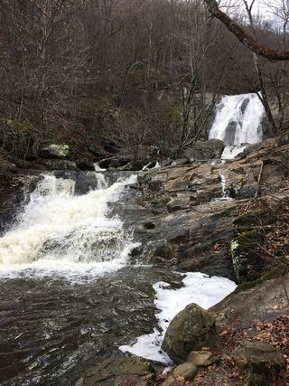 Lower Whiteoak FallsGuide: easy trail from the boundary parking area59 ft (18 m) · Madison County, VA3.4 miNE
- Naked Creek FallsPartial guide: off-trail creek descent; exact drop not confirmedPage County, VA3.8 miSW