Upper Whiteoak Falls
Madison County, Virginia
Your visit at a glance
- Waterfall height
- 85 ft (26 m)
- Location
- Madison County, Virginia
- Access status
- National park trail from a Skyline Drive parking area; entrance fee
- The walk
- 4.6-mile round trip, per the NPS; the viewpoint is about 2.3 miles from the start
- Ground & access
- Descending canyon trail; the return climbs about 1,040 feet. The NPS says the trail does not meet ADA accessibility guidelines.
Upper Whiteoak Falls is the highest of the waterfalls in Whiteoak Canyon in the Central District of Shenandoah National Park. From the trailhead at the Whiteoak Canyon parking area, take the Whiteoak Canyon Trail downhill. Pass the junctions for the Old Rag Fire Road and the Limberlost Trail. About 2.3 miles from the start you reach a rocky ledge with a view of the upper falls. Retrace your steps to return; the return is uphill. The trail continues down the canyon past the lower falls, which have their own listings.
Plan your visit
Whiteoak Canyon parking area at Skyline Drive mile 42.6, down the Whiteoak Canyon Trail to a rocky ledge viewing the upper falls
The NPS gives the hike as a 4.6-mile round trip with 1,040 feet of elevation gain and says the rocky ledge with a view of the upper falls is about 2.3 miles from the start.
Descending canyon trail; the return climbs about 1,040 feet. The NPS says the trail does not meet ADA accessibility guidelines.
Where to start
Whiteoak Canyon parking area on Skyline Drive at mile 42.6.
Timing & water
The NPS lists the hike as open year round. Pets must be on a leash no longer than 6 feet.
Before you go
A Shenandoah National Park entrance fee is required: $30 per private vehicle, valid for seven consecutive days. The NPS lists no separate activity fee and no reservation for this hike.
Visitor informationVisit sources
More waterfalls nearby
Within 40 straight-line miles. Road and trail distances will differ.
- Upper Whiteoak Falls62 ft (19 m) · Madison County, VA0.3 miSE
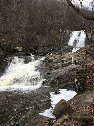 Lower Whiteoak FallsGuide: easy trail from the boundary parking area59 ft (18 m) · Madison County, VA0.8 miSE
- Cedar Run FallsGuide: wilderness trail to a falls with a swimming holeMadison County, VA1.5 miS
- Climbing Rose FallsMadison County, VA3.0 miS
 Rose River FallsGuide: 4-mile park loop past the falls66 ft (20 m) · Madison County, VA3.3 miSW
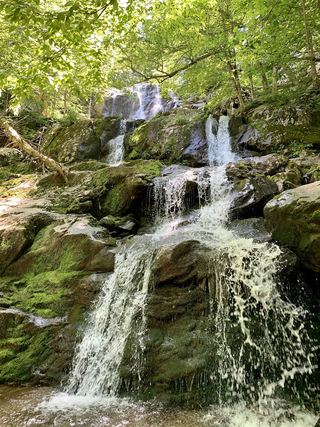 Dark Hollow FallsNational park trail route and parking documented69 ft (21 m) · Page County, VA4.5 miSW
- Lewis Spring FallsOfficial park loop to a viewing platform; entrance fee79 ft (24 m) · Page County, VA5.5 miSW
- Big Rock FallsPublished hike route and national park parking documentedMadison County, VA5.7 miSW
- Cave FallsPark trail route from Meadow Spring; steep final descent; entrance feeRappahannock County, VA6.4 miNE