Cave Falls
Rappahannock County, Virginia
Your visit at a glance
- Waterfall height
- Not recorded
- Location
- Rappahannock County, Virginia
- Access status
- Park trail route from Meadow Spring; steep final descent; entrance fee
- The walk
- 5.2 miles round trip per Go Hike Virginia
- Ground & access
- Mostly forest trail, then a steep, rocky descent with loose rock near the falls. The climb out is all uphill.
Cave Falls is the waterfall on the Hazel River in Shenandoah National Park that hikers also call Hazel Falls, named for small caves beside it. Jenn Gonzalez on The Outbound describes the route: from the Meadow Spring parking lot, start at the trail post to the right of the lot. Keep left at the first trail post, and keep left again at the next post onto the White Rocks Trail. At a third post marked for Cave Falls, turn right. The path drops steeply down rocks to a gorge with cascades, a pool and the falls. Climb back to the White Rocks Trail and return the way you came.
Plan your visit
Meadow Spring parking area, Skyline Drive mile 33.5, Hazel Mountain Trail and White Rocks Trail, then the steep side path down to Cave Falls (Hazel Falls)
Go Hike Virginia gives a 5.2-mile round trip from the Meadow Spring parking area to Hazel Falls and back, with 1,070 feet of elevation gain. Continuing the White Rocks Trail loop instead of returning adds more miles.
Mostly forest trail, then a steep, rocky descent with loose rock near the falls. The climb out is all uphill.
Where to start
Meadow Spring parking area on Skyline Drive at about mile 33 to 33.5, with the trail post at the right of the lot.
Timing & water
No season limits are stated.
Before you go
An entrance pass is required for Shenandoah National Park. The National Park Service lists $30 for a private vehicle.
Visitor informationVisit sources
More waterfalls nearby
Within 40 straight-line miles. Road and trail distances will differ.
- Upper Whiteoak FallsNational park trail from a Skyline Drive parking area; entrance fee85 ft (26 m) · Madison County, VA6.4 miSW
- Upper Whiteoak Falls62 ft (19 m) · Madison County, VA6.5 miSW
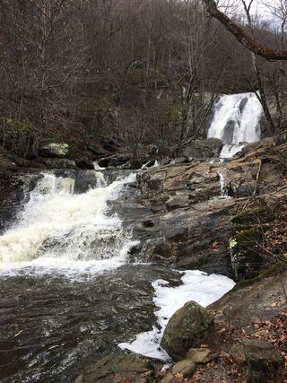 Lower Whiteoak FallsGuide: easy trail from the boundary parking area59 ft (18 m) · Madison County, VA6.5 miSW
- Cedar Run FallsGuide: wilderness trail to a falls with a swimming holeMadison County, VA7.7 miSW
- Climbing Rose FallsMadison County, VA9.0 miSW
- Greasy Falls20 ft (6 m) · Warren County, VA9.7 miN
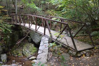 Rose River FallsGuide: 4-mile park loop past the falls66 ft (20 m) · Madison County, VA9.7 miSW
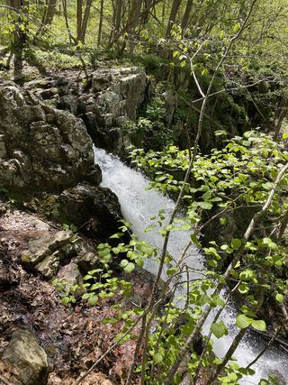 Upper Overall Run FallsNational park trail route and parking documented; viewpoint of the upper falls29 ft (8.8 m) · Warren County, VA10 miN
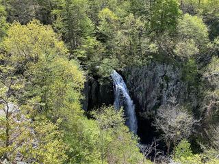 Overall Run FallsNational park trail route and parking documented93 ft (28.3 m) · Warren County, VA10 miN