Cedar Run Falls
Madison County, Virginia
Your visit at a glance
- Waterfall height
- Not recorded
- Location
- Madison County, Virginia
- Access status
- Guide: wilderness trail to a falls with a swimming hole
- The walk
- About 1.3 miles each way from the lower lot; 2.6 miles out and back
- Ground & access
- Rocky trail with creek crossings. The top route drops about 1,500 feet in 1.6 miles. Leaving the trail to reach the base needs care on wet rock.
Cedar Run Falls is a waterfall with a deep pool and a natural rock slide above it, in the Shenandoah Wilderness in Shenandoah National Park. From the far side of the lower Whiteoak Canyon parking lot, follow the Cedar Run Trail 0.1 mile across an iron bridge and turn left at the fork to stay on Cedar Run Trail. The blue-blazed trail crosses Cedar Run after 0.2 mile and climbs about another mile to the main falls. Reaching the base and pool means leaving the trail and crossing back over Cedar Run near the top of the falls. Return the same way. You can also start from Hawksbill Gap on Skyline Drive and walk down 1.6 miles, a steeper option.
Plan your visit
Lower Whiteoak Canyon parking lot off Weakley Hollow Road (Route 600), then the blue-blazed Cedar Run Trail up to the main falls
The Outbound guide gives 1.3 miles up the trail from the lower parking lot to the falls and 2.6 miles out and back. From the top at Hawksbill Gap it gives 1.6 miles down to the falls, 3.2 miles out and back.
Rocky trail with creek crossings. The top route drops about 1,500 feet in 1.6 miles. Leaving the trail to reach the base needs care on wet rock.
Where to start
Lower Whiteoak Canyon parking lot off Weakley Hollow Road (Route 600), where the Cedar Run Trail starts on the far side of the lot. Top option: Hawksbill Gap parking area at Skyline Drive mile 45.6.
Timing & water
The park lists the Cedar Run trails as open year-round. Stream crossings can be harder after rain.
Before you go
Shenandoah National Park entrance fee required: $30 per private vehicle, valid for seven days. The park does not accept cash. No booking is needed for this hike.
Visitor informationVisit sources
More waterfalls nearby
Within 40 straight-line miles. Road and trail distances will differ.
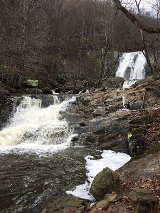 Lower Whiteoak FallsGuide: easy trail from the boundary parking area59 ft (18 m) · Madison County, VA1.2 miNE
- Upper Whiteoak Falls62 ft (19 m) · Madison County, VA1.3 miN
- Upper Whiteoak FallsNational park trail from a Skyline Drive parking area; entrance fee85 ft (26 m) · Madison County, VA1.5 miN
- Climbing Rose FallsMadison County, VA1.6 miS
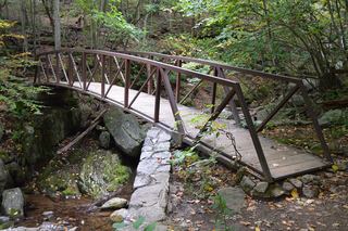 Rose River FallsGuide: 4-mile park loop past the falls66 ft (20 m) · Madison County, VA2.4 miW
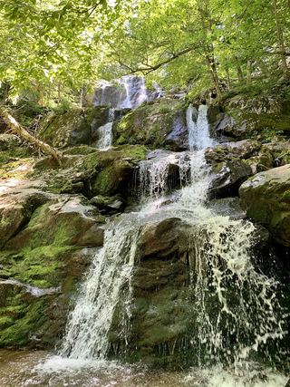 Dark Hollow FallsNational park trail route and parking documented69 ft (21 m) · Page County, VA3.4 miSW
- Big Rock FallsPublished hike route and national park parking documentedMadison County, VA4.5 miSW
- Lewis Spring FallsOfficial park loop to a viewing platform; entrance fee79 ft (24 m) · Page County, VA4.7 miW
- Naked Creek FallsPartial guide: off-trail creek descent; exact drop not confirmedPage County, VA6.0 miSW