Big Rock Falls
Madison County, Virginia
Your visit at a glance
- Waterfall height
- Not recorded
- Location
- Madison County, Virginia
- Access status
- Published hike route and national park parking documented
- The walk
- 5.4 miles out and back (Go Hike Virginia)
- Ground & access
- Wide, flat fire road, then a narrower, steeper dirt and rock trail. Go Hike Virginia gives 896 feet of elevation gain and says the return is fairly steep until you reach the fire road.
Big Rock Falls is on Mill Prong below Big Meadows in Shenandoah National Park, a short way above Rapidan Camp. From the parking area across Skyline Drive from Big Meadows Wayside, walk past the kiosk along the Rapidan Fire Road for a flat 1.2 miles. Turn right at the sign for the yellow-blazed Mill Prong Horse Trail, which becomes narrower and steeper. At the 2.2-mile mark, turn left to stay on the yellow-blazed trail (the blue-blazed Mill Prong Trail goes right across Mill Prong). Follow Mill Prong downstream to the falls at the 2.7-mile mark, where a log crosses the stream. Retrace your steps.
Plan your visit
Parking area across Skyline Drive from Big Meadows Wayside (milepost 51), Rapidan Fire Road, then the yellow-blazed Mill Prong Horse Trail down Mill Prong to Big Rock Falls
Go Hike Virginia reaches the falls at the 2.7-mile mark from the Big Meadows parking area and lists the hike as 5.4 miles out and back. An NPS backcountry trip sheet describes a 1-mile round-trip side trip to the falls from the Mill Prong Trail junction on a longer route.
Wide, flat fire road, then a narrower, steeper dirt and rock trail. Go Hike Virginia gives 896 feet of elevation gain and says the return is fairly steep until you reach the fire road.
Where to start
Small parking area across Skyline Drive from Big Meadows Wayside at milepost 51, with room for at least 10 cars.
Timing & water
No seasonal closure is mentioned. Go Hike Virginia notes that wayside services and restrooms close for the season in late fall.
Before you go
A Shenandoah National Park entrance pass is required ($30 per private vehicle, valid for seven consecutive days).
Visitor informationVisit sources
More waterfalls nearby
Within 40 straight-line miles. Road and trail distances will differ.
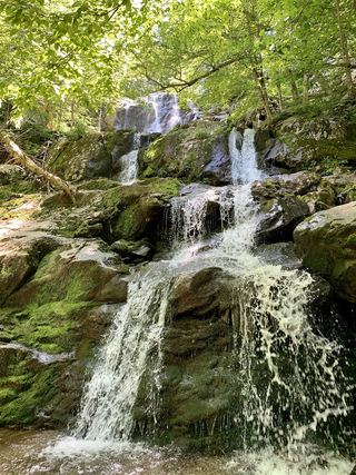 Dark Hollow FallsNational park trail route and parking documented69 ft (21 m) · Page County, VA1.6 miN
- Naked Creek FallsPartial guide: off-trail creek descent; exact drop not confirmedPage County, VA1.9 miW
- Lewis Spring FallsOfficial park loop to a viewing platform; entrance fee79 ft (24 m) · Page County, VA2.2 miNW
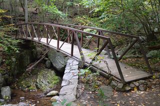 Rose River FallsGuide: 4-mile park loop past the falls66 ft (20 m) · Madison County, VA2.6 miN
- Upper Big Creek Falls33 ft (10 m) · Page County, VA3.5 miSW
- Climbing Rose FallsMadison County, VA3.6 miNE
- Big Creek Falls151 ft (46 m) · Page County, VA3.6 miSW
- Cedar Run FallsGuide: wilderness trail to a falls with a swimming holeMadison County, VA4.5 miNE
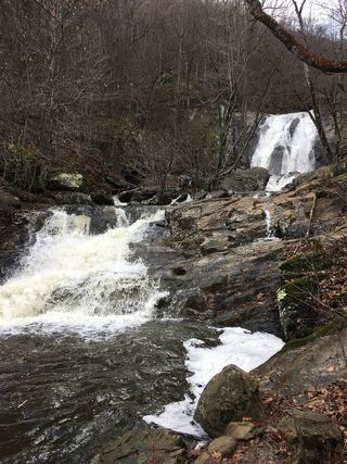 Lower Whiteoak FallsGuide: easy trail from the boundary parking area59 ft (18 m) · Madison County, VA5.7 miNE