WaterfallNear Me

Arizona waterfall visits

Compare 22 Arizona waterfall visits by the approach, terrain, and where to start. Some routes have closures or unresolved details; read the individual guide before travelling.

22 visit options

Deer Creek Falls, AZ.

Trailhead parking not confirmed

Arizona

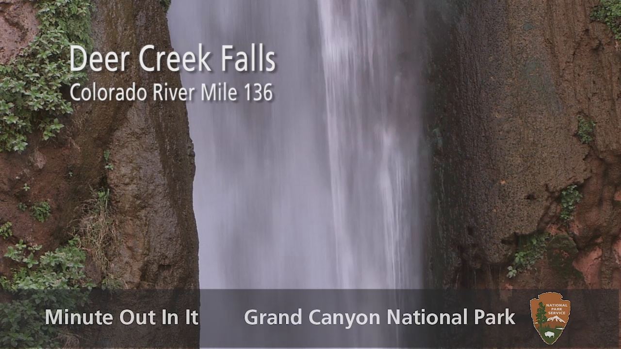
Deer Creek Falls

About 10.2 miles one way from Monument Point (Bill Hall Trail) or about 13.9 miles one way from Indian Hollow (Thunder River Trail)

Deer Creek Falls drops to the Colorado River at the end of a long, steep backcountry route from the North Rim. NPS describes the approach through Surprise Valley and a rocky descent past Deer Spring and the campsites. This is a multi-day trip, not a day hike.
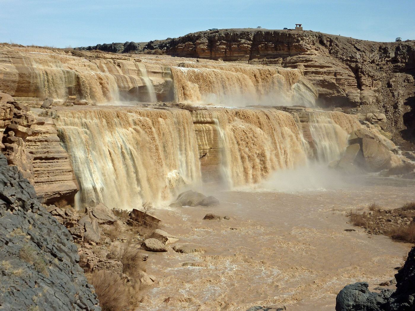
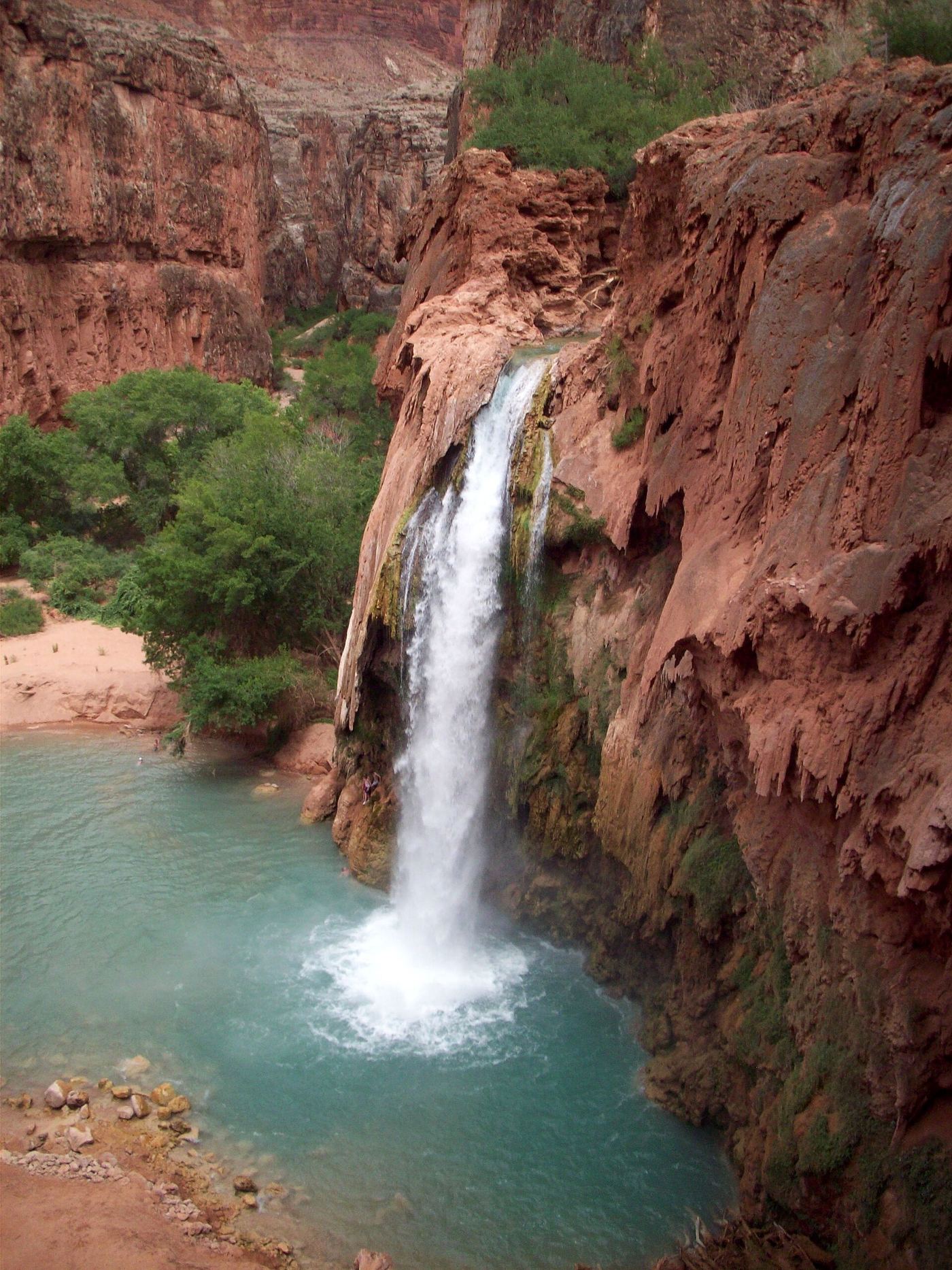
Photo creditPhoto: Grand Canyon National Park, CC BY 2.0, via Wikimedia Commons
Grand Falls, AZ.

Closed to public

Arizona

Grand Falls

No visitor approach offered

Navajo Nation Parks and Recreation states that Grand Falls is closed to the public because of debris buildup. Do not use old driving or hiking directions as current access permission.

Photo creditPhoto: Frank Kovalchek, CC BY 2.0, via Wikimedia Commons
Havasu Falls, AZ.

Arizona

Havasu Falls

Approximately 10 miles one way to the falls area

With an advance tribal booking, hike from Hualapai Hilltop through Supai and continue along the campground trail. The Havasu Falls Hiking route guide identifies the waterfall beside the trail shortly after a bridge, before the ranger station and campground.

Photo creditPhoto: Gonzo fan2007, CC BY-SA 3.0, via Wikimedia Commons
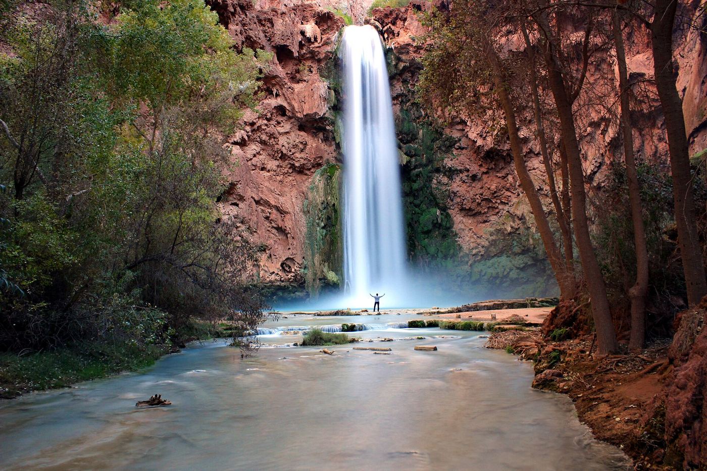
Mooney Falls, AZ.

Partial: distance from the campground to the falls is not given by the tribe

Arizona

Mooney Falls

8 miles from Hualapai Hilltop to Supai Village, then 2 more miles to the campground; the distance from the campground to Mooney Falls is not given on the tribe pages

Mooney Falls is on the Havasupai Reservation, which requires a tribe permit for any visit. Drive to Hualapai Hilltop, hike 8 miles to Supai Village, then 2 more miles to the campground. The tribe schedules Mooney with Havasu and Beaver Falls as the lower waterfalls to visit from the campground. Do not go past the top of Mooney Falls during rain or flooding.

Photo creditPhoto: Riffy Thomas, CC BY-SA 4.0, via Wikimedia Commons
Ribbon Falls, AZ

North Kaibab corridor closed after flooding

Arizona

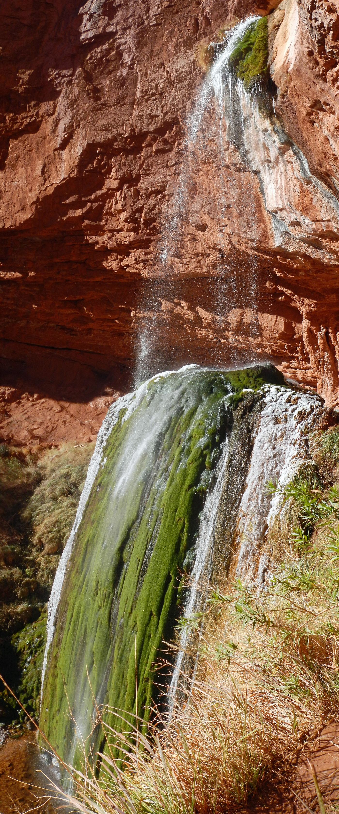
Ribbon Falls

North Kaibab corridor closed

Checked October 27, 2026: NPS lists the entire North Kaibab Trail from its trailhead to Phantom Ranch closed after flash flooding, with no reopening estimate. This supersedes the earlier March reopening notice to Ribbon Falls junction.

Photo creditPhoto: Fredlyfish4, CC BY-SA 4.0, via Wikimedia Commons

Partial: reservation required; official sources give no distance from the campground to Beaver Falls

Arizona

Beaver Falls

8 miles to Supai Village, 2 more to the campground, then further to Beaver Falls

A creek waterfall in Havasu Canyon on the Havasupai Reservation, below Havasu and Mooney Falls. Entry is by Tribal reservation only.

Location map; no photo available.

Source-reviewed route and parking

Arizona

Bridal Wreath Falls

About 5.9 miles round trip with about 1,147 feet of climbing (WildPathsAZ); other sites list 5.6 miles

Start at the Douglas Spring Trailhead at the eastern end of Speedway Boulevard in Saguaro National Park East and walk toward the shade structure to begin the Douglas Spring Trail. Keep left at the marked junctions until the Bridal Wreath Falls junction, then turn right onto the short falls trail, which crosses a stream and ends at the base of a multi-tiered fall. Only the lower tier can be seen from the base; there is no established trail to the top.

Location map; no photo available.

Parking and approach documented

Arizona

Camp Creek Falls

About 1.4 miles one way (about 2.8 miles return)

Park at the gravel lot on Cave Creek Road and walk up the usually dry Blue Wash through a boulder-filled section. At the T junction with Camp Creek, turn left and walk about a quarter mile to a small stepped waterfall in a granite box canyon. Return the same way.

Location map; no photo available.

Partial: the viewpoint pullout is not mapped to the original pin

Arizona

Carr Canyon Waterfall

No walk: a roadside viewpoint about 4.6 miles up Carr Canyon Road

Arizona Highways describes a pullout at mile 4.6 of Carr Canyon Road that overlooks a waterfall pouring from Carr Reef when there is enough runoff. Stay well back from the slick edge. The road is steep and rough beyond the paved section.

Location map; no photo available.

Rim trailhead and parking not confirmed

Arizona

Cheyava Falls

About 5.0 miles one way up Clear Creek, after 8.7 miles of trail from the North Kaibab trail near Phantom Ranch

Cheyava Falls is a very tall seasonal waterfall in a side canyon of Clear Creek. NPS describes a long backcountry trip: the Clear Creek Trail to Clear Creek, then a full day on the creek bed with many crossings. NPS says the falls flow only in spring after winters with heavy snow.

Location map; no photo available.

Partial guide: exact parking spot on rough Redington Road is unconfirmed

Arizona

Chiva Falls

About 8.6 miles return (13.8 km), measured by a GPS file

From the trailhead on Redington Road, follow the route through a wash, past Chiva Tank and along forest roads, then descend the canyon to the falls. The route is shared with off-road vehicles and bikes. Return the same way.

Location map; no photo available.

Partial: Navajo permit required; mostly off-trail route from one guide; permit details need checking

Arizona

Echo Peaks Fall

About 4 miles each way by the source's segments

A 600-foot pour-off at the lower end of Fall Creek, above Glen Canyon on the Navajo Nation. It is reached by a mostly trailless desert walk and viewed from the rim.

Location map; no photo available.

Partial guide: junction details and distance rest on one non-official trail guide

Arizona

Ernie's Falls

About 6.6 miles return (10.6 km, measured by a GPS file)

From the trailhead, take Douglas Spring Trail east through a few narrow switchbacks and up the canyon to a clearing. Turn left at the four-way junction and follow the trail to a small seasonal waterfall with a pool. Return the same way.

Location map; no photo available.

Partial guide: current trailhead and fee conflict between sources

Arizona

Massacre Falls

About 5.4 miles return (listed as out-and-back)

Walk from the trailhead through the fence gap, follow the ridge between washes toward the mountains, turn left into a large wash at a confusing fork, and continue past the original trailhead. After the saddle, a drainage and flat high ground lead to the base of the cliff, where the trail turns right to the falls. Return the same way.

Location map; no photo available.

Partial: viewpoint location from a guidebook site; pass requirement and current road status unconfirmed

Arizona

Seven Catarcts

Roadside viewpoint; no hike

A roadside overlook on the Catalina Highway with a view of cascades in the canyon across the way. The falls run mainly after heavy rain or snowmelt.

Location map; no photo available.

Arizona

Seven Falls

About 8.5 miles return on foot

Hike from the visitor center into Bear Canyon to the falls.

Location map; no photo available.

Route and parking researched

Arizona

Sycamore Falls

About 0.4 mile return

From the lot beside the restroom, take the narrow trail near the sign. At the fork about 0.1 mile in, turn right toward the main falls viewpoints. Return the same way rather than continuing around the full rim loop.

Location map; no photo available.

Researched route and starting area

Arizona

Tanque Verde Falls

0.5 mile one way; 1 mile out and back.

The rim overlook provides a view of the main falls. There is no trail along the creekbed.

Location map; no photo available.

Partial: trailhead parking details and day-use permit rules are not confirmed

Arizona

Thunder River Falls

NPS: 2.6 miles Monument Point to Bill Hall Junction, then 4.5 miles to the Surprise Valley junction, then about 1 mile east and down switchbacks to Thunder River

Thunder River is reached on a long, hot backcountry route in Grand Canyon National Park. Take the steeper Bill Hall Trail from Monument Point, or the longer Thunder River Trail from Indian Hollow, to the Esplanade, then descend switchbacks to Surprise Valley. At the cairned fork go east, cross the valley for about a mile, then drop steep switchbacks to the cascades of Thunder River.

Location map; no photo available.

Walking distance to the overlook not confirmed

Arizona

Winn Falls

Distance from the Greenhouse trailhead to the overlook is not stated

Winn Falls drops about 400 feet off Sanders Peak in the Chiricahua Mountains. The Forest Service says it can be seen from the road to Herb Martyr Campground, and the Greenhouse Trail passes an overlook with a closer view.

Location map; no photo available.

Partial: one firsthand account; side paths unmarked and exact parking not mapped

Arizona

Wolf Creek Falls

A little over 1 mile each way to the side paths

A seasonal waterfall near the Hassayampa River in Prescott National Forest, reached by unnamed side paths off Trail 384. It usually runs only after snow or rain.

Location map; no photo available.

Arizona

Workman Creek Falls

Walking distance not stated

From the pull-off at the head of Workman Creek Falls, the county visitor guide describes a viewpoint a short distance back down the road. This is a roadside viewing visit; no measured walking distance is published.

Location map; no photo available.

Choose another state All mapped waterfalls in Arizona