Havasu Falls
Coconino County, Arizona
Your visit at a glance
- Waterfall height
- 92 ft (28 m)
- Location
- Coconino County, Arizona
- The walk
- Approximately 10 miles one way to the falls area
- Ground & access
- Steep, rocky, remote trail without wheelchair-accessible paths. Heat and flash floods can affect access.
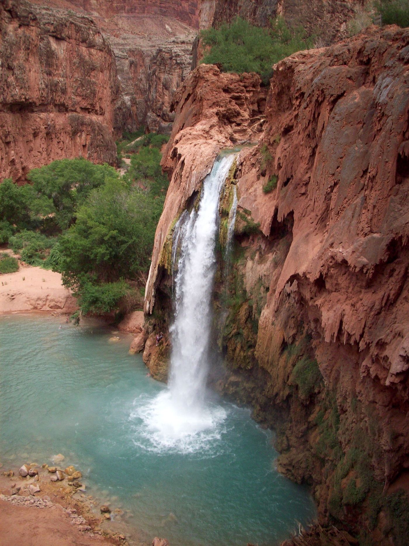
With an advance tribal booking, hike from Hualapai Hilltop through Supai and continue along the campground trail. The Havasu Falls Hiking route guide identifies the waterfall beside the trail shortly after a bridge, before the ranger station and campground.
Plan your visit
Hualapai Hilltop through Supai, then the campground trail past Havasu Falls
The Tribe gives eight miles to Supai and two more to the campground. Havasu Falls Hiking places Havasu Falls on this final approach, about two miles beyond Supai and a few hundred yards before the campground; the figure is approximate.
Steep, rocky, remote trail without wheelchair-accessible paths. Heat and flash floods can affect access.
Where to start
Use the tourist lot at Hualapai Hilltop, not the tribal-member lot. Register the vehicle at permit check-in; no sleeping in vehicles at Hilltop.
Timing & water
Check tribal notices before travel. Summer heat and monsoon flooding are major access concerns.
Before you go
All visitors require advance permits. Bookings are four days/three nights; check in at Grand Canyon Caverns & Inn for wristbands before entering.
Visitor informationVisit sources
More waterfalls nearby
Within 40 straight-line miles. Road and trail distances will differ.
- Navajo FallsCoconino County, AZ0.4 miS
- Fiftyfoot FallsCoconino County, AZ0.6 miS
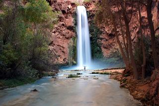 Mooney FallsPartial: distance from the campground to the falls is not given by the tribeCoconino County, AZ0.8 miNW
- Beaver FallsPartial: reservation required; official sources give no distance from the campground to Beaver FallsCoconino County, AZ2.6 miNW
 Deer Creek FallsTrailhead parking not confirmedCoconino County, AZ14 miNE
- Thunder River FallsPartial: trailhead parking details and day-use permit rules are not confirmedCoconino County, AZ16 miNE
- Whitmore RapidsCoconino County, AZ29 miW
- Upper Upper Ribbon FallsCoconino County, AZ35 miE
- Upper Ribbon FallsCoconino County, AZ36 miE