Deer Creek Falls
Coconino County, Arizona
Your visit at a glance
- Waterfall height
- Not recorded
- Location
- Coconino County, Arizona
- Access status
- Trailhead parking not confirmed
- The walk
- About 10.2 miles one way from Monument Point (Bill Hall Trail) or about 13.9 miles one way from Indian Hollow (Thunder River Trail)
- Ground & access
- Steep switchbacks, slickrock with cairns, loose rocky trail and extreme heat in Surprise Valley. NPS warns against hiking Surprise Valley after 10 a.m. in warm weather. Climbing and rappelling in the Deer Creek narrows are prohibited.
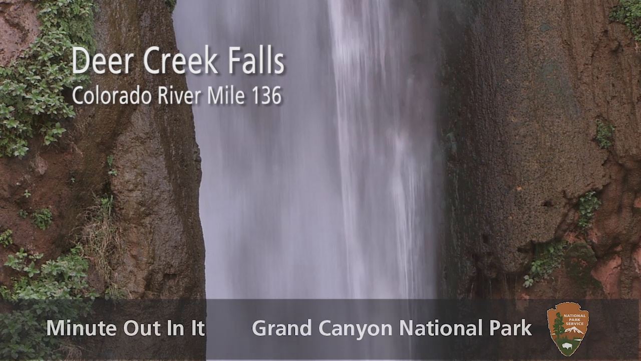
Deer Creek Falls drops to the Colorado River at the end of a long, steep backcountry route from the North Rim. NPS describes the approach through Surprise Valley and a rocky descent past Deer Spring and the campsites. This is a multi-day trip, not a day hike.
Plan your visit
Thunder River or Bill Hall Trail to Surprise Valley, then the Deer Creek trail to the falls at the Colorado River
NPS lists 7.6 miles from the Bill Hall junction to Deer Creek Falls, 2.6 miles from Monument Point to that junction, and 6.3 miles from Indian Hollow to it. The two trailhead totals are derived by adding these.
Steep switchbacks, slickrock with cairns, loose rocky trail and extreme heat in Surprise Valley. NPS warns against hiking Surprise Valley after 10 a.m. in warm weather. Climbing and rappelling in the Deer Creek narrows are prohibited.
Where to start
NPS describes two trailheads, Monument Point and Indian Hollow, reached on Forest Service roads 22, 425 and 292A or 232. It does not describe parking. Road access in winter and spring is unreliable.
Timing & water
NPS says winter and spring road access is unreliable. Deer Creek, Thunder River and Tapeats Creek are permanent water sources. Summer heat is severe.
Before you go
Overnight camping needs an NPS backcountry permit. Designated sites exist at Deer Creek. NPS lists no fee or booking information in this handout.
Visitor informationVisit sources
More waterfalls nearby
Within 40 straight-line miles. Road and trail distances will differ.
- Thunder River FallsPartial: trailhead parking details and day-use permit rules are not confirmedCoconino County, AZ2.8 miE
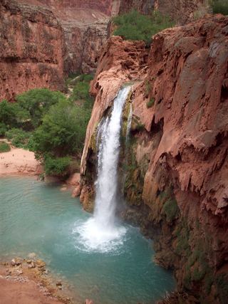 Havasu FallsResearched visit notes92 ft (28 m) · Coconino County, AZ14 miSW
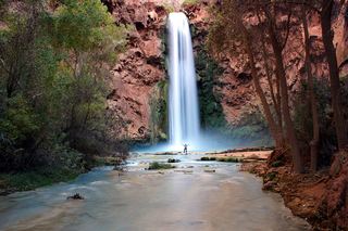 Mooney FallsPartial: distance from the campground to the falls is not given by the tribeCoconino County, AZ14 miSW
- Navajo FallsCoconino County, AZ14 miSW
- Beaver FallsPartial: reservation required; official sources give no distance from the campground to Beaver FallsCoconino County, AZ14 miSW
- Fiftyfoot FallsCoconino County, AZ15 miSW
- Upper Upper Ribbon FallsCoconino County, AZ28 miSE
- Upper Ribbon FallsCoconino County, AZ29 miSE
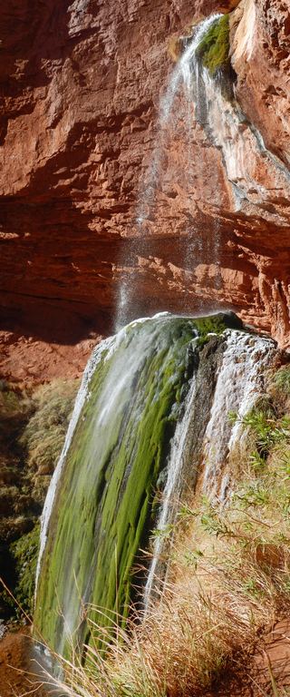 Ribbon FallsNorth Kaibab corridor closed after floodingCoconino County, AZ30 miSE