Thunder River Falls
Coconino County, Arizona
Your visit at a glance
- Waterfall height
- Not recorded
- Location
- Coconino County, Arizona
- Access status
- Partial: trailhead parking details and day-use permit rules are not confirmed
- The walk
- NPS: 2.6 miles Monument Point to Bill Hall Junction, then 4.5 miles to the Surprise Valley junction, then about 1 mile east and down switchbacks to Thunder River
- Ground & access
- Very long and exposed with steep switchbacks and a 15 foot scramble on the Bill Hall Trail. NPS advises avoiding Surprise Valley after 10 a.m. in warm weather. Water is available at Thunder River and Tapeats Creek.
Thunder River is reached on a long, hot backcountry route in Grand Canyon National Park. Take the steeper Bill Hall Trail from Monument Point, or the longer Thunder River Trail from Indian Hollow, to the Esplanade, then descend switchbacks to Surprise Valley. At the cairned fork go east, cross the valley for about a mile, then drop steep switchbacks to the cascades of Thunder River.
Plan your visit
Bill Hall Trail from Monument Point, or Thunder River Trail from Indian Hollow, into Surprise Valley and east to Thunder River
Derived: the sum of 2.6, 4.5 and about 1 mile is roughly 8 miles one way from Monument Point. NPS does not give one total to Thunder River, and the Indian Hollow route is 3.7 miles longer.
Very long and exposed with steep switchbacks and a 15 foot scramble on the Bill Hall Trail. NPS advises avoiding Surprise Valley after 10 a.m. in warm weather. Water is available at Thunder River and Tapeats Creek.
Where to start
Trailheads are at Monument Point and Indian Hollow, reached by forest roads (FSR 425, then 292 and 292A, or 232). Winter and spring access is unreliable; get a road update first.
Timing & water
Winter and spring road access is unreliable. Creek crossings below Thunder River can be impassable in snowmelt or after heavy rain.
Before you go
This NPS handout does not state fees or day-use rules; overnight stays need a backcountry permit from Grand Canyon National Park. Check current rules with the park.
Visitor informationMore waterfalls nearby
Within 40 straight-line miles. Road and trail distances will differ.
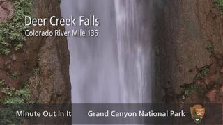 Deer Creek FallsTrailhead parking not confirmedCoconino County, AZ2.8 miW
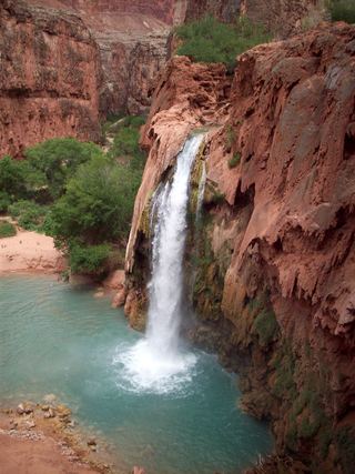 Havasu FallsResearched visit notes92 ft (28 m) · Coconino County, AZ16 miSW
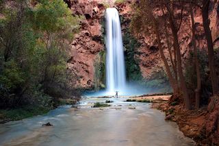 Mooney FallsPartial: distance from the campground to the falls is not given by the tribeCoconino County, AZ17 miSW
- Navajo FallsCoconino County, AZ17 miSW
- Fiftyfoot FallsCoconino County, AZ17 miSW
- Beaver FallsPartial: reservation required; official sources give no distance from the campground to Beaver FallsCoconino County, AZ17 miSW
- Upper Upper Ribbon FallsCoconino County, AZ26 miSE
- Upper Ribbon FallsCoconino County, AZ27 miSE
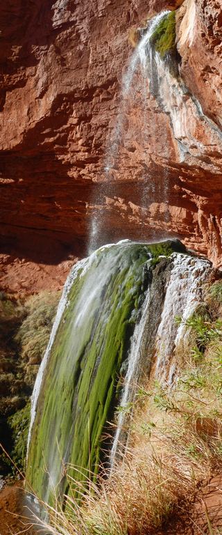 Ribbon FallsNorth Kaibab corridor closed after floodingCoconino County, AZ28 miSE