Cheyava Falls
Coconino County, Arizona
Your visit at a glance
- Waterfall height
- Not recorded
- Location
- Coconino County, Arizona
- Access status
- Rim trailhead and parking not confirmed
- The walk
- About 5.0 miles one way up Clear Creek, after 8.7 miles of trail from the North Kaibab trail near Phantom Ranch
- Ground & access
- Exposed trail with no reliable water for about nine miles from Phantom Ranch, then a creek-bed route with no trail and many crossings. NPS warns of flash flooding at Clear Creek.
Cheyava Falls is a very tall seasonal waterfall in a side canyon of Clear Creek. NPS describes a long backcountry trip: the Clear Creek Trail to Clear Creek, then a full day on the creek bed with many crossings. NPS says the falls flow only in spring after winters with heavy snow.
Plan your visit
Clear Creek Trail from Phantom Ranch to Clear Creek, then up the creek bed to the falls
NPS lists 0.3 mile from Phantom Ranch to the Clear Creek Trail junction, 8.4 miles from the junction to Clear Creek, and 5.0 miles from Clear Creek to Cheyava Falls. Adding these gives about 13.7 miles one way from Phantom Ranch (derived). The distance from the rim to Phantom Ranch is not in this source.
Exposed trail with no reliable water for about nine miles from Phantom Ranch, then a creek-bed route with no trail and many crossings. NPS warns of flash flooding at Clear Creek.
Where to start
This NPS handout starts at the Phantom Ranch area and does not give rim trailhead or parking details. Check the park for the rim trailhead you plan to use.
Timing & water
NPS says Cheyava Falls only flows in the spring after winters with high snow fall, and in drier years it does not flow at all. Summer is typically too hot for the trail.
Before you go
Overnight camping at Clear Creek requires an NPS backcountry permit. NPS says Clear Creek permits can be difficult to obtain in spring and fall.
Visitor informationVisit sources
More waterfalls nearby
Within 40 straight-line miles. Road and trail distances will differ.
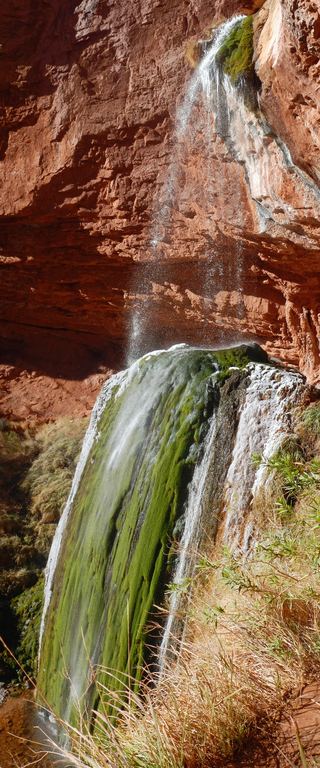 Ribbon FallsNorth Kaibab corridor closed after floodingCoconino County, AZ4.6 miW
- Upper Ribbon FallsCoconino County, AZ5.0 miW
- Upper Upper Ribbon FallsCoconino County, AZ6.0 miNW
- Thunder River FallsPartial: trailhead parking details and day-use permit rules are not confirmedCoconino County, AZ32 miNW
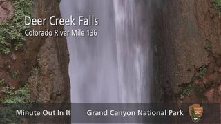 Deer Creek FallsTrailhead parking not confirmedCoconino County, AZ34 miNW