Waterfalls near Woodstock, VA
21 named waterfalls within 30 miles of Woodstock, closest first. Distances are straight-line from the town center.
Visits with route details
Read the walking route, starting point and current access notes.
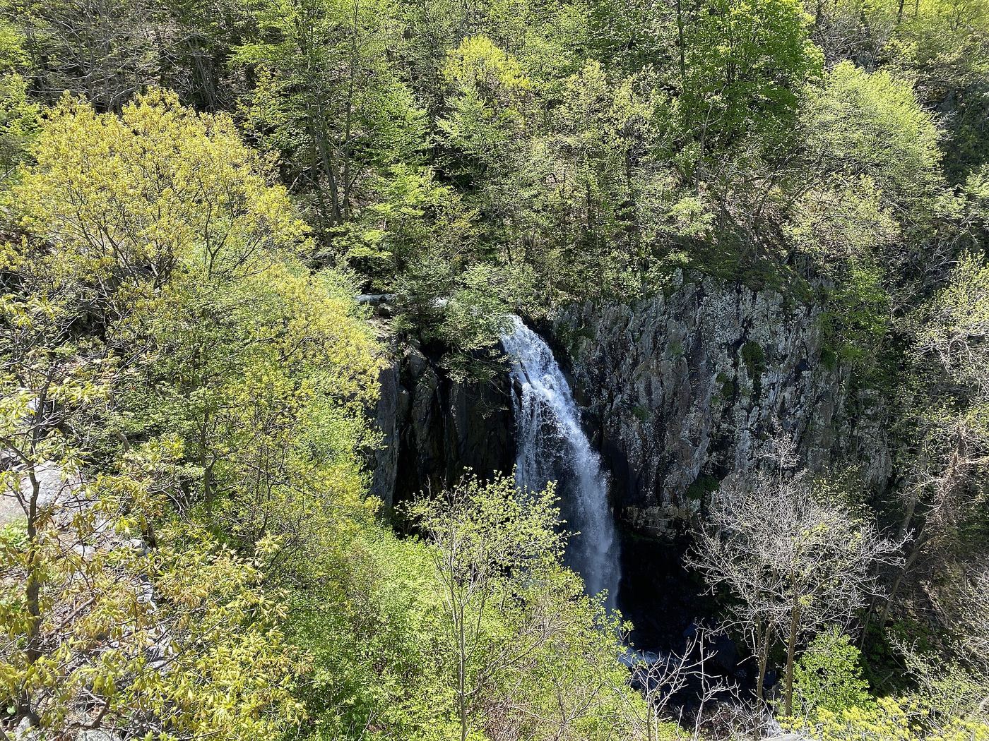
 Overall Run FallsNational park trail route and parking documented93 ft (28.3 m) · Warren County, VA
 Upper Overall Run FallsNational park trail route and parking documented; viewpoint of the upper falls29 ft (8.8 m) · Warren County, VA
- Falls Ridge WaterfallPartial: national forest trail then an unofficial side path; forest road gate status varies26 ft (8 m) · Shenandoah County, VA
- Lands Run FallsNational park trail route and parking documentedWarren County, VA
- Cave FallsPark trail route from Meadow Spring; steep final descent; entrance feeRappahannock County, VA
- Upper Whiteoak FallsNational park trail from a Skyline Drive parking area; entrance fee85 ft (26 m) · Madison County, VA
 Lower Whiteoak FallsGuide: easy trail from the boundary parking area59 ft (18 m) · Madison County, VA
- Cedar Run FallsGuide: wilderness trail to a falls with a swimming holeMadison County, VA
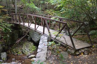 Rose River FallsGuide: 4-mile park loop past the falls66 ft (20 m) · Madison County, VA
- Lewis Spring FallsOfficial park loop to a viewing platform; entrance fee79 ft (24 m) · Page County, VA
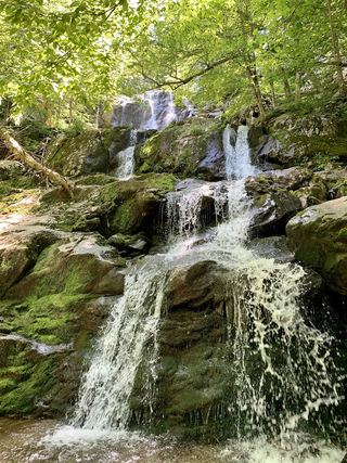 Dark Hollow FallsNational park trail route and parking documented69 ft (21 m) · Page County, VA
- Naked Creek FallsPartial guide: off-trail creek descent; exact drop not confirmedPage County, VA
- Big Rock FallsPublished hike route and national park parking documentedMadison County, VA
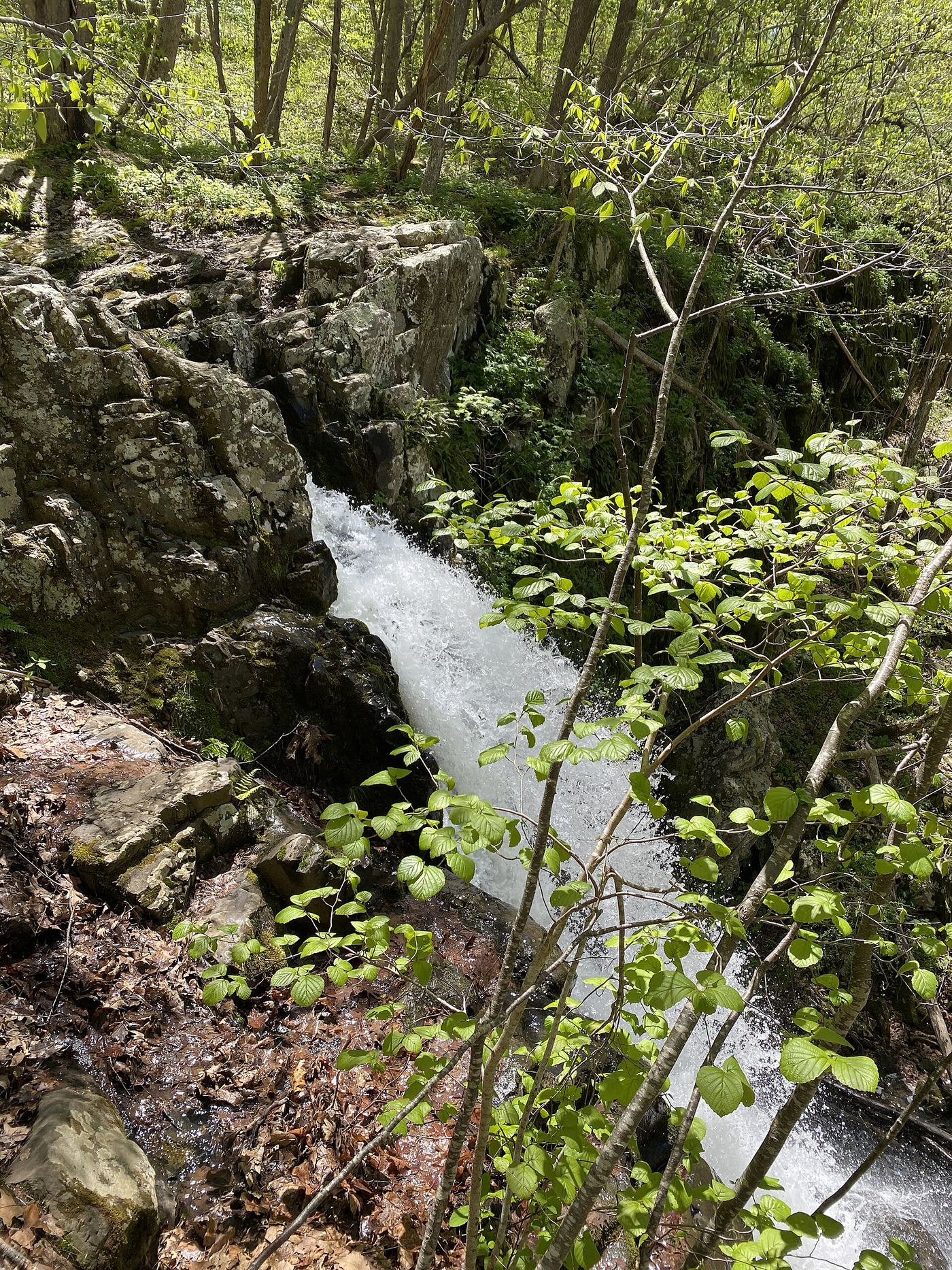
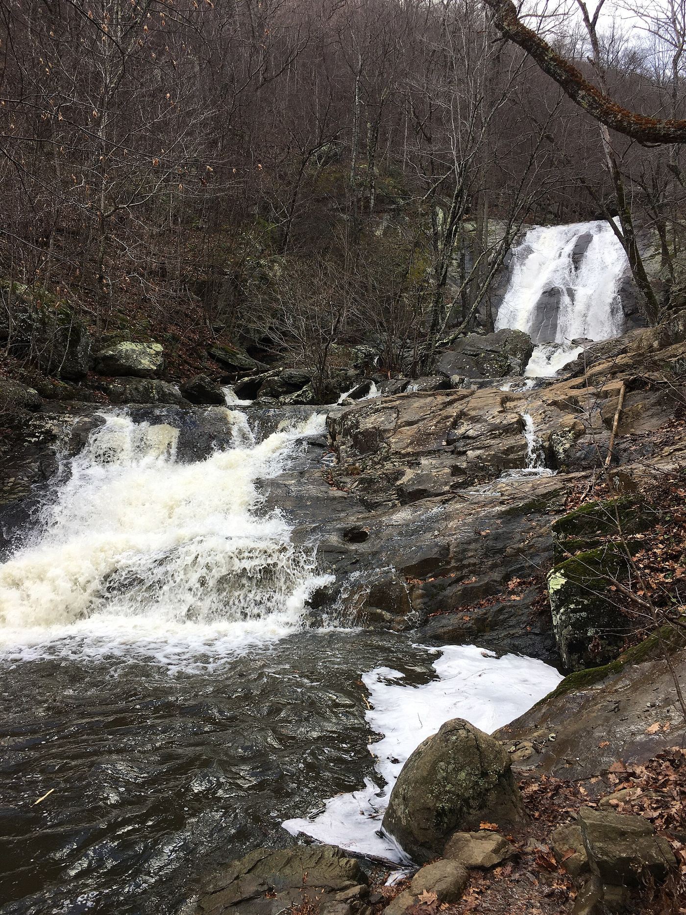
Closest with a photo
All 21 waterfalls
- Overall Run FallsNational park trail route and parking documented93 ft (28.3 m) · Warren County, VA13 miSE
- Upper Overall Run FallsNational park trail route and parking documented; viewpoint of the upper falls29 ft (8.8 m) · Warren County, VA13 miSE
- Falls Ridge WaterfallPartial: national forest trail then an unofficial side path; forest road gate status varies26 ft (8 m) · Shenandoah County, VA14 miW
- Greasy Falls20 ft (6 m) · Warren County, VA15 miSE
- Lands Run FallsNational park trail route and parking documentedWarren County, VA17 miE
- Miller FallsRappahannock County, VA17 miSE
- Mountain FallsFrederick County, VA19 miN
- Cave FallsPark trail route from Meadow Spring; steep final descent; entrance feeRappahannock County, VA21 miSE
- Upper Whiteoak FallsNational park trail from a Skyline Drive parking area; entrance fee85 ft (26 m) · Madison County, VA23 miS
- Upper Whiteoak Falls62 ft (19 m) · Madison County, VA24 miS
- Lower Whiteoak FallsGuide: easy trail from the boundary parking area59 ft (18 m) · Madison County, VA24 miS
- Cedar Run FallsGuide: wilderness trail to a falls with a swimming holeMadison County, VA25 miS
- Rose River FallsGuide: 4-mile park loop past the falls66 ft (20 m) · Madison County, VA25 miS
- Hooks Mill FallsHampshire County, WV25 miN
- Lewis Spring FallsOfficial park loop to a viewing platform; entrance fee79 ft (24 m) · Page County, VA25 miS
- Dark Hollow FallsNational park trail route and parking documented69 ft (21 m) · Page County, VA25 miS
- Climbing Rose FallsMadison County, VA26 miS
- Naked Creek FallsPartial guide: off-trail creek descent; exact drop not confirmedPage County, VA27 miS
- Big Rock FallsPublished hike route and national park parking documentedMadison County, VA27 miS
- Big Creek Falls151 ft (46 m) · Page County, VA29 miS
- Upper Big Creek Falls33 ft (10 m) · Page County, VA29 miS