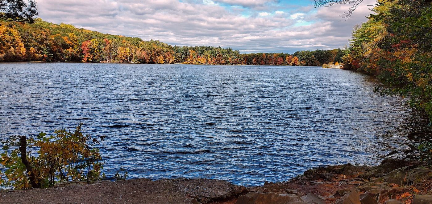
Waterfalls near Guilford, CT
52 named waterfalls within 30 miles of Guilford, closest first. Distances are straight-line from the town center.
Visits with route details
Read the walking route, starting point and current access notes.
- Nineveh FallsFirsthand guide gives roadside parking and short pathMiddlesex County, CT
- Stair Brook FallsPublished trail route and roadside parking documented; scramble for best views46 ft (14 m) · New Haven County, CT
- Wolcott FallsShort land trust path and street parking documented23 ft (7 m) · New Haven County, CT
- Intermittent CascadePublished trail route and parking documented; seasonal flowNew Haven County, CT
- Clark Creek FallsPartial guide: roadside view; legal parking not confirmedMiddlesex County, CT
 Wintergreen FallsPartial guide: current parking at the trailhead unverified23 ft (7 m) · New Haven County, CT
- Spruce Glen FallsFirsthand land trust loop route and parking documentedNew Haven County, CT
- Seven FallsRoadside picnic area view and parking documentedMiddlesex County, CT
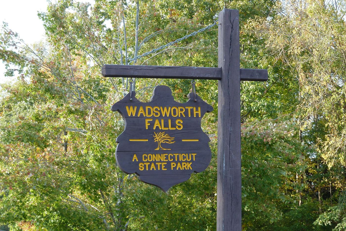
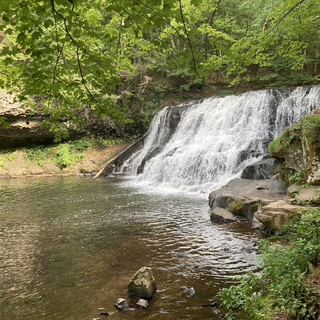 Wadsworth FallsState park falls with documented parking; fee at this lot not confirmed30 ft (9 m) · Middlesex County, CT
 Wadsworth Little FallsOfficial park plus firsthand trail route; distance approximate39 ft (12 m) · Middlesex County, CT
- Sperry FallsShort park path and seasonal parking documented; winter gate10 ft (3 m) · New Haven County, CT
- Wepawaug FallsShort published route and parking documentedNew Haven County, CT
- Pine Brook FallsPartial guide: a gate blocked the parking area in 2017; current parking unconfirmedMiddlesex County, CT
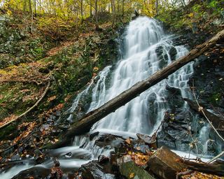 Roaring Brook FallsTown trail and public parking documented; distance to falls not measuredNew Haven County, CT
- Shipyard FallsPartial guide: view from road bridge only; surrounding land likely privateMiddlesex County, CT
- Hopp Brook FallsPartial guide: guidebook route; land ownership not confirmed; off-trail scrambleNew Haven County, CT
- Westfield FallsPartial guide: informal roadside parking; land ownership unconfirmedMiddlesex County, CT
- Tartia FallsPartial guide: roadside view only; shoulder parking status unverified; upper falls private20 ft (6 m) · Middlesex County, CT
- Chapman FallsDevil's Hopyard State Park; short walk from roadside parkingMiddlesex County, CT
- Day Pond Brook FallsState park trail to waterfall documentedNew London County, CT
- Spruce Brook FallsPartial guide: which Spruce Brook drop this point marks is unconfirmed; 2024 flood damageNew Haven County, CT
- Indian Well FallsPartial guide: falls and park access official; exact path from parking not described in reviewed sources13 ft (4 m) · Fairfield County, CT
- Dividend FallsShort path from trailhead parking documentedHartford County, CT
- Intermittent CascadePreserve trail route documentedHartford County, CT
- CascadesPartial guide: route documented; non-resident access not confirmedHartford County, CT
- CascadesPublished trail route documented; landowner not confirmedHartford County, CT
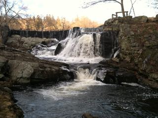 Southford FallsOfficial park location and free entry; short walk from the lot documentedNew Haven County, CT
- Grayville FallsGuidebook route and town park parking documentedNew London County, CT
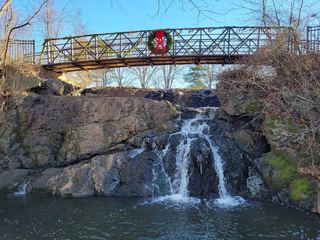 Mill Pond FallsTown park viewpoint and parking documentedHartford County, CT
- Prydden Brook FallsVisitor-reported trail route documentedFairfield County, CT
- CascadePublished trail route and roadside parking documentedHartford County, CT
- Buttermilk FallsVisitor route and parking documented; short walkLitchfield County, CT
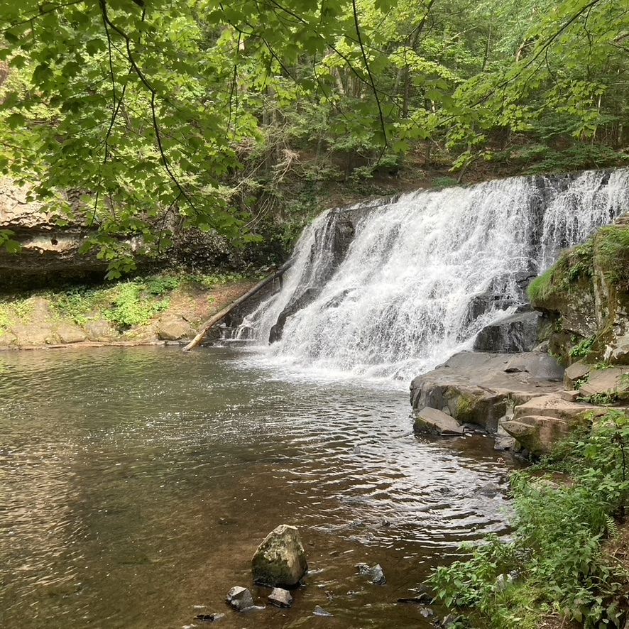
Closest with a photo
All 52 waterfalls
- CascadeNew Haven County, CT1.8 miSW
- Nineveh FallsFirsthand guide gives roadside parking and short pathMiddlesex County, CT5.9 miNE
- Stair Brook FallsPublished trail route and roadside parking documented; scramble for best views46 ft (14 m) · New Haven County, CT9.6 miN
- Wolcott FallsShort land trust path and street parking documented23 ft (7 m) · New Haven County, CT15 miNW
- Intermittent CascadePublished trail route and parking documented; seasonal flowNew Haven County, CT15 miNW
- Clark Creek FallsPartial guide: roadside view; legal parking not confirmedMiddlesex County, CT15 miNE
- Wintergreen FallsPartial guide: current parking at the trailhead unverified23 ft (7 m) · New Haven County, CT15 miW
- Spruce Glen FallsFirsthand land trust loop route and parking documentedNew Haven County, CT16 miN
- Seven FallsRoadside picnic area view and parking documentedMiddlesex County, CT16 miN
- CascadeMiddlesex County, CT16 miNE
- Wadsworth FallsState park falls with documented parking; fee at this lot not confirmed30 ft (9 m) · Middlesex County, CT16 miN
- Wadsworth Little FallsOfficial park plus firsthand trail route; distance approximate39 ft (12 m) · Middlesex County, CT17 miN
- Succor Brook FallsMiddlesex County, CT17 miNE
- Intermittent WaterfallMiddlesex County, CT17 miN
- Sperry FallsShort park path and seasonal parking documented; winter gate10 ft (3 m) · New Haven County, CT17 miW
- CascadeNew Haven County, CT18 miW
- Wepawaug FallsShort published route and parking documentedNew Haven County, CT18 miW
- Pine Brook FallsPartial guide: a gate blocked the parking area in 2017; current parking unconfirmedMiddlesex County, CT19 miNE
- Roaring Brook FallsTown trail and public parking documented; distance to falls not measuredNew Haven County, CT19 miNW
- CascadeNew Haven County, CT19 miNW
- Shipyard FallsPartial guide: view from road bridge only; surrounding land likely privateMiddlesex County, CT19 miN
- CascadeMiddlesex County, CT20 miNE
- Hopp Brook FallsPartial guide: guidebook route; land ownership not confirmed; off-trail scrambleNew Haven County, CT20 miNW
- CascadeMiddlesex County, CT20 miNE
- Westfield FallsPartial guide: informal roadside parking; land ownership unconfirmedMiddlesex County, CT20 miN
- CascadeMiddlesex County, CT20 miNE
- Tartia FallsPartial guide: roadside view only; shoulder parking status unverified; upper falls private20 ft (6 m) · Middlesex County, CT20 miNE
- Moodus FallsMiddlesex County, CT20 miNE
- Glen FallsMiddlesex County, CT20 miN
- CascadeMiddlesex County, CT22 miNE
- Carr Brook FallsMiddlesex County, CT22 miN
- Farmill River FallsFairfield County, CT22 miW
- Chapman FallsDevil's Hopyard State Park; short walk from roadside parkingMiddlesex County, CT22 miNE
- Day Pond Brook FallsState park trail to waterfall documentedNew London County, CT23 miNE
- The CascadeMiddlesex County, CT23 miN
- CascadesFairfield County, CT23 miW
- Spruce Brook FallsPartial guide: which Spruce Brook drop this point marks is unconfirmed; 2024 flood damageNew Haven County, CT23 miNW
- CascadeFairfield County, CT23 miW
- Indian Well FallsPartial guide: falls and park access official; exact path from parking not described in reviewed sources13 ft (4 m) · Fairfield County, CT23 miW
- Spruce Brook FallsNew Haven County, CT23 miNW
- Dividend FallsShort path from trailhead parking documentedHartford County, CT25 miN
- Intermittent CascadePreserve trail route documentedHartford County, CT25 miN
- Silver FallsNew London County, CT25 miE
- CascadesPartial guide: route documented; non-resident access not confirmedHartford County, CT26 miN
- CascadesPublished trail route documented; landowner not confirmedHartford County, CT28 miNW
Show the other 7 waterfalls, 28 mi to 30 mi away
- Southford FallsOfficial park location and free entry; short walk from the lot documentedNew Haven County, CT28 miNW
- Grayville FallsGuidebook route and town park parking documentedNew London County, CT28 miNE
- Mill Pond FallsTown park viewpoint and parking documentedHartford County, CT28 miN
- Prydden Brook FallsVisitor-reported trail route documentedFairfield County, CT29 miW
- CascadePublished trail route and roadside parking documentedHartford County, CT29 miN
- Buttermilk FallsVisitor route and parking documented; short walkLitchfield County, CT30 miNW
- CascadeLitchfield County, CT30 miNW