WaterfallNear Me

Maryland waterfall visits

Compare 12 Maryland waterfall visits by the approach, terrain, and where to start. Some routes have closures or unresolved details; read the individual guide before travelling.

12 visit options

Cunningham Falls, MD

Official state park trail to the falls

Maryland

Cunningham Falls

About 0.5 mile each way

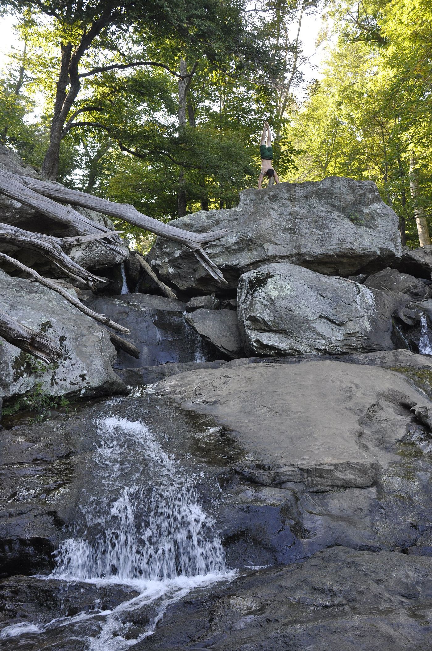
Park in the William Houck Area day-use lot by Hunting Creek Lake. Take the red-blazed Lower Trail, the shortest and easiest route to the falls, with interpretive signs and benches. It ends at the falls. Return the same way or by the rougher Cliff Trail. A boardwalk with a small handicap-only lot on Route 77 also reaches the falls.
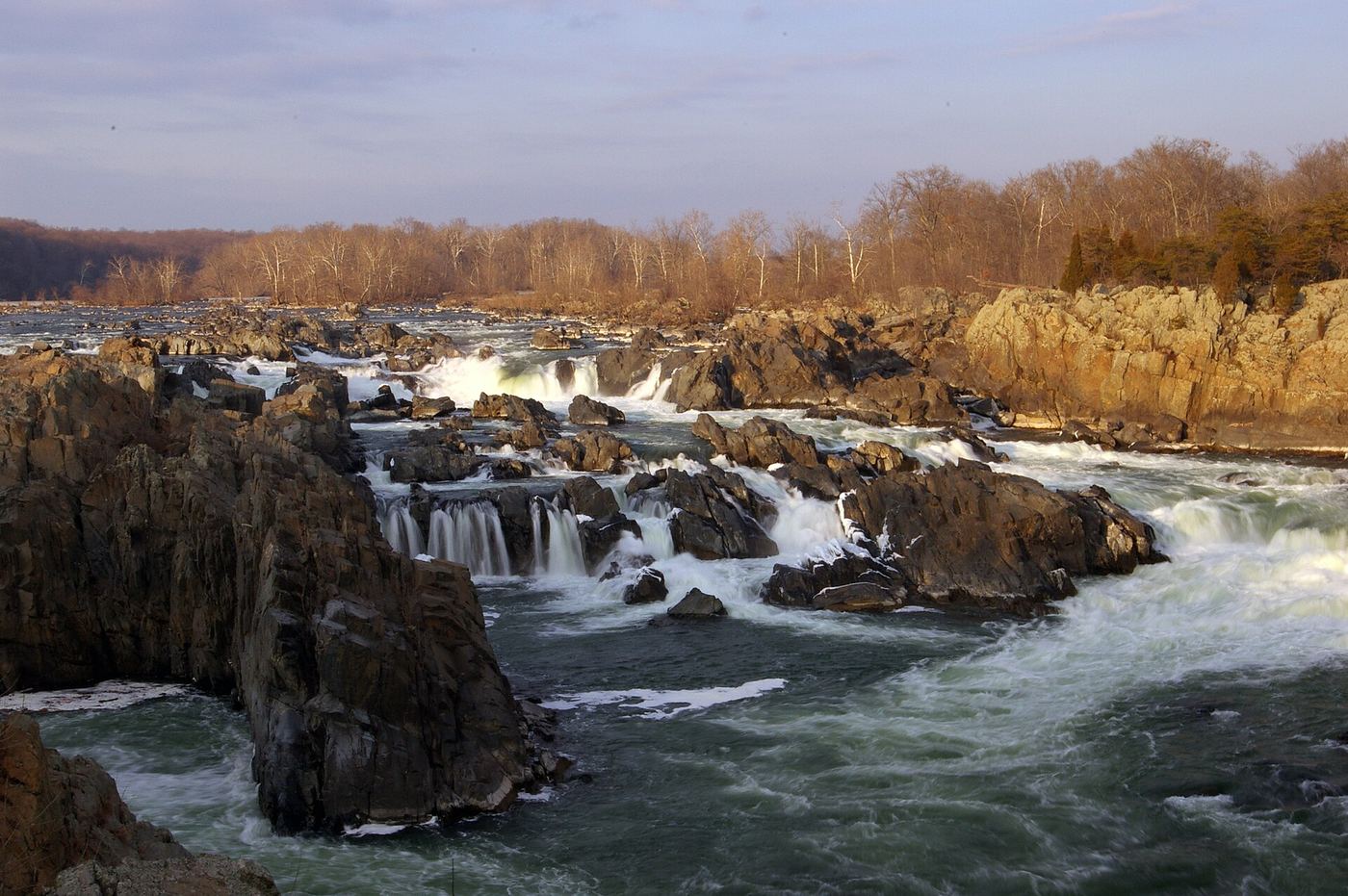
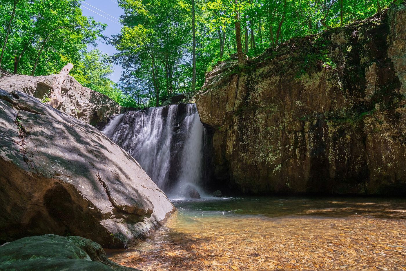
Photo creditPhoto: Jarek Tuszyński, CC BY 4.0, via Wikimedia Commons
Great Falls, MD.

Maryland

Great Falls

About 1 mile round trip

Walk from Great Falls Tavern to the Olmsted Island boardwalk for views of the Potomac falls. Stay on the boardwalk and overlook throughout.

Photo creditPhoto: MamaGeek (talk/contrib), CC BY 3.0, via Wikimedia Commons
Kilgore Falls, MD

State park trail; summer weekend reservations; stream crossing to the base

Maryland

Kilgore Falls

About 0.5 mile one way, about 1 mile return

Kilgore Falls is a 17-foot falls in the Falling Branch Area of Rocks State Park, a separate parcel about five miles north of the main park. From the 28-car parking lot, follow the single-track trail about half a mile to the falls. To reach the base you must cross Falling Branch, so expect wet feet. The trail does not connect to the main park's trails.

Photo creditPhoto: Andrew Parlette, CC BY 2.0, via Wikimedia Commons
Lower Swallow Falls, MD

Partial guide: official trail and fees documented; lower drop not named by DNR

Maryland

Lower Swallow Falls

Canyon Trail is 1 1/4 miles in total; distance to this drop is not stated

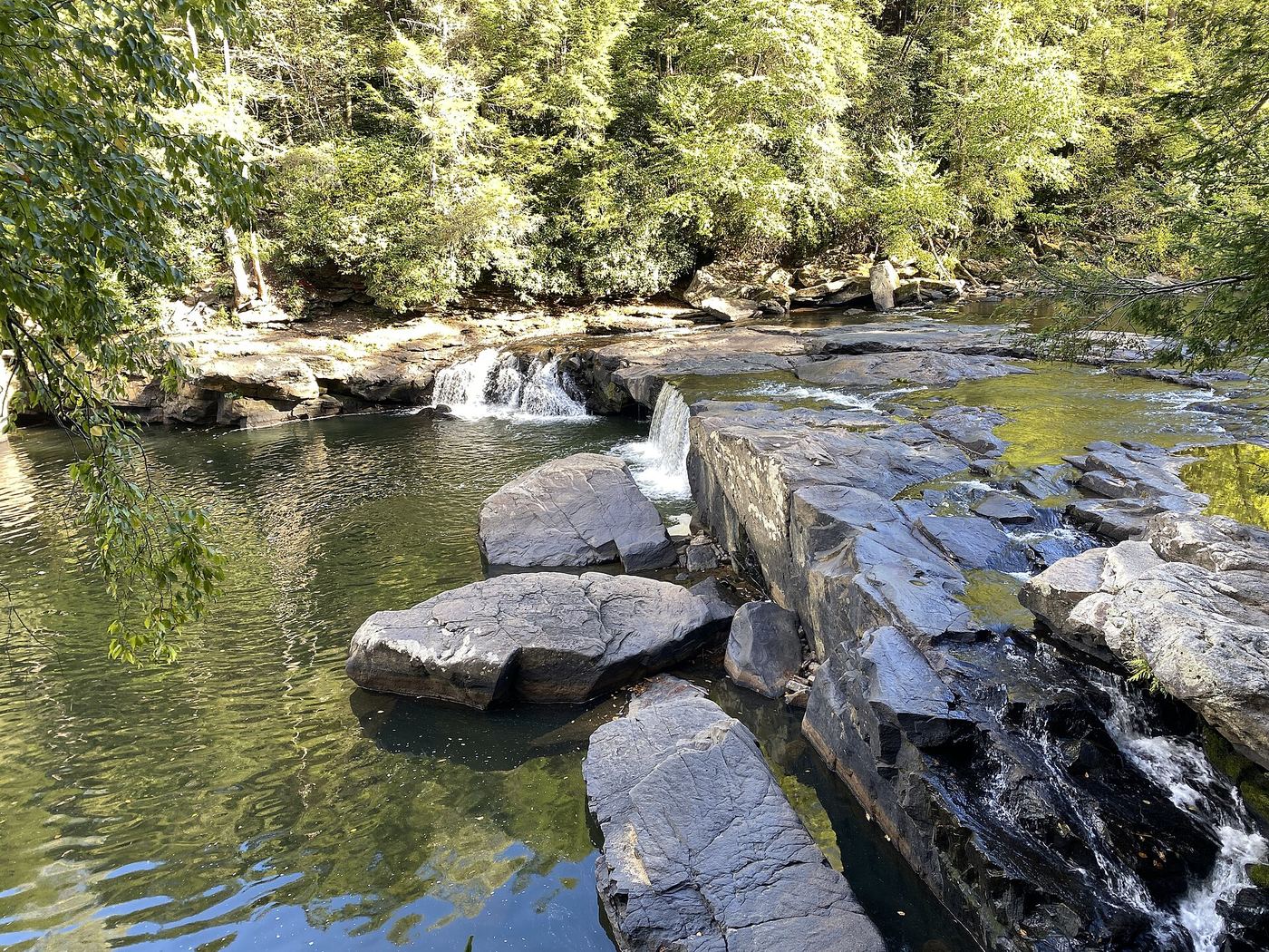
From the Swallow Falls State Park day use area, walk the Canyon Trail through old growth hemlock forest along the Youghiogheny River gorge. The trail passes several waterfalls, including Swallow Falls and the 53-foot Muddy Creek Falls. This lower drop is on the river below Swallow Falls, close to the trail. DNR does not label this lower drop by name.

Photo creditPhoto: TheTurducken, CC BY 2.0, via Wikimedia Commons
McKeldin Falls, MD

Official park area and fees; visitor route documented

Maryland

McKeldin Falls

About 1 mile one way from the Marriottsville Road roadside start (estimate from the blog description)

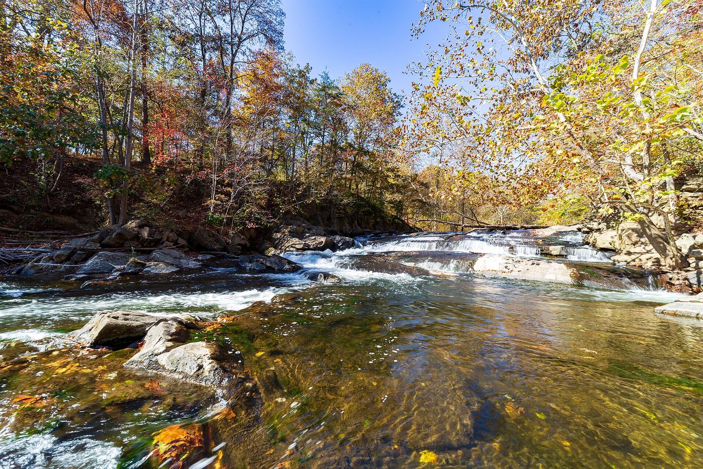
McKeldin Falls is a rapid on the South Branch Patapsco River in the McKeldin Area of Patapsco Valley State Park. The blogger parked by the railroad tracks near the junction of Marriottsville Road and Marriottsville Road 2, crossed the road, and followed the trail along the river. At the top of the hill by restrooms and a paved road, turn right and follow the road to the parking area where it dead ends. A path descends from there to the falls on the McKeldin Rapids Trail.

Photo creditPhoto: Andrew Parlette from Elkridge,MD, US, CC BY 2.0, via Wikimedia Commons
Muddy Creek Falls, MD

Official state park falls on a published loop trail

Maryland

Muddy Creek Falls

About 300 yards each way to the overlook; the full Canyon Trail loop is about 1 to 1.25 miles

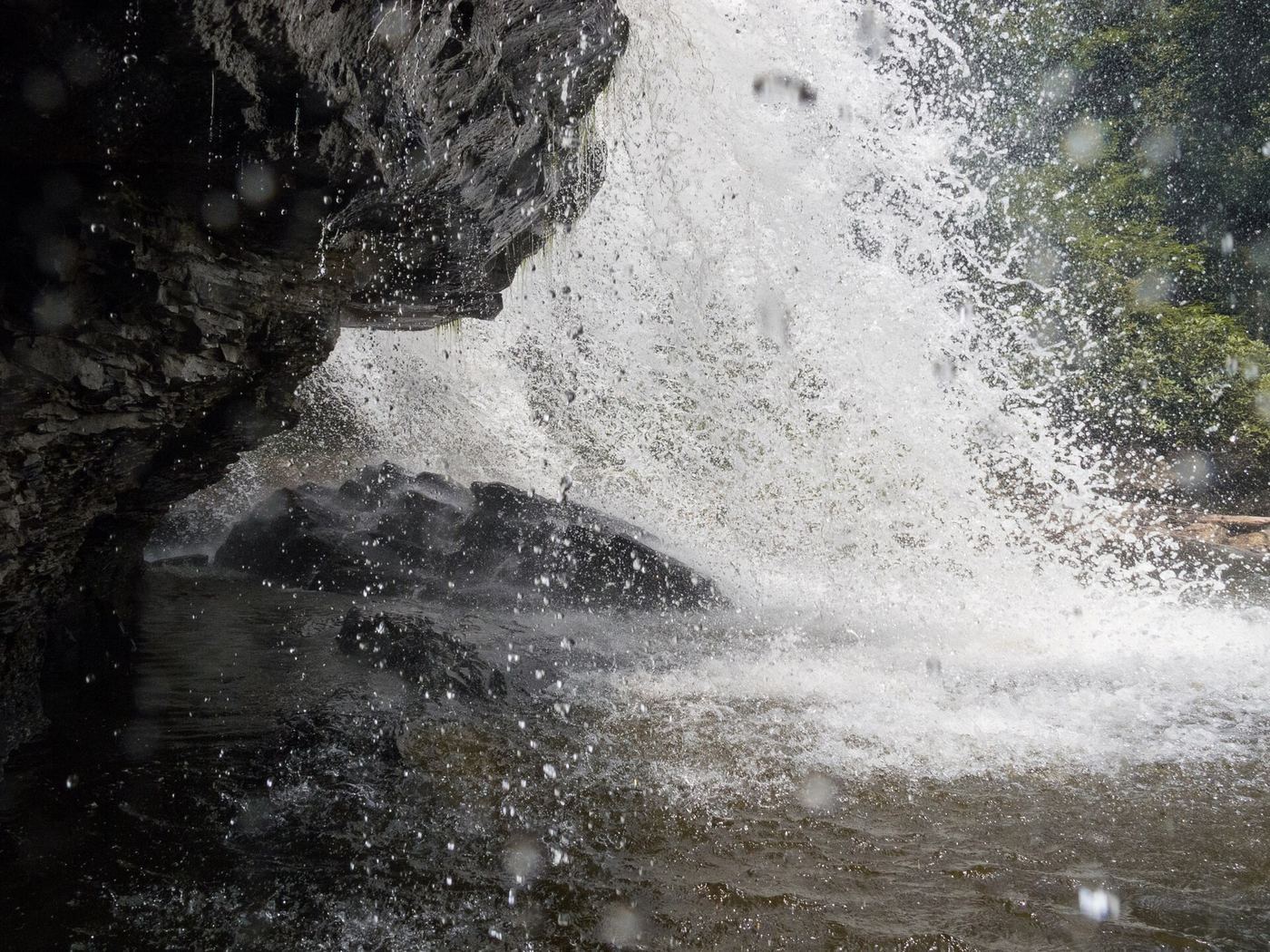
Start at the main parking area just past the park entrance and go through the tall Canyon Trail entrance sign. At the fork about 50 yards in, bear left (north). Pass the small lot for wheelchair placard holders and follow the boardwalk. Where it ends, go down toward the gorge for the overlook, then bear left down to the base of the 53-foot falls. Continue on the loop past Swallow Falls and Tolliver Falls, or return the same way.

Photo creditPhoto: Jason Knauer, CC BY 3.0, via Wikimedia Commons
Upper Swallow Falls, MD

State park loop trail; summer weekend reservations; no pets in summer

Maryland

Upper Swallow Falls

About 0.6 mile to the base going counterclockwise; the full loop is about 1 mile

Upper Swallow Falls is a broad drop on the Youghiogheny River in Swallow Falls State Park. The Canyon Trail starts at the main parking area just past the entrance, at a tall entrance sign. Within 50 yards the trail forks; bear left on the boardwalk to Muddy Creek Falls, then follow the river past Lower Swallow Falls. After a spiral wooden staircase, a spur on the left gives a distant view of Upper Swallow Falls. Back on the main trail, stay left at the fork at 0.55 mile and again about 125 yards later to reach the base. Continue past Tolliver Falls to close the loop.

Photo creditPhoto: Bohemian Baltimore, CC BY-SA 4.0, via Wikimedia Commons

Official park area and fees confirmed; trail route from park lot not detailed

Maryland

Cascade Falls

About 2.1 miles return from the Landing Road trailhead; shorter from the Swinging Bridge lot (distance not published)

Cascade Falls is in the Avalon and Orange Grove part of Patapsco Valley State Park. Enter at 8020 Baltimore National Pike (or the Avalon entrance on South Street), follow the park drive along the river to the Swinging Bridge, and park there. The Cascade Falls Trail follows a stream with several small falls to the main falls, about 10 feet high. A second start on Landing Road has very limited roadside parking and a 2021 visitor comment reports posted no parking signs there.

Location map; no photo available.

Probable match to the weir below Burnside Bridge; identity not confirmed

Maryland

Old Dam Waterfall

Short walk from the Burnside Bridge stop; no published distance to the weir

This appears to be the old dam or weir on Antietam Creek just below the historic Burnside Bridge in Antietam National Battlefield. A paddling guide describes an intact dam or weir below the bridge with a two-foot drop. Park at the Burnside Bridge stop on the battlefield tour road and walk to the bridge; the Snavely Ford Trail starts there and follows the creek. The name Old Dam Waterfall is not used by any source read, so the match to this weir is probable, not confirmed.

Location map; no photo available.

Partial guide: trail location documented; parking and exact access point not confirmed

Maryland

Round Falls

Short path and stairway from the Jones Falls Trail; measured distance unknown

Walk the Jones Falls Trail near Druid Hill Park and look for the small wooden sign for the James W. Rouse Memorial Deck at Round Falls. A short path and stairway lead down to a viewing deck at the 10-foot semicircular dam remnant on the Jones Falls. The Wyman Park Drive bridge overlooks the area.

Location map; no photo available.

Official trail and parking confirmed; rapids seen from the trail

Maryland

Stubblefield Falls

1.6 to 1.7 miles for Section C, plus about 0.6 mile of towpath from Carderock

Stubblefield Falls is a set of rapids on the Potomac River. From Carderock Recreation Area, walk the C&O Canal towpath upstream to Billy Goat Trail Section C. A Backpacker route description notes the class 3 Stubblefield Falls rapids on the right along Section C. Follow the blue blazes, then return to the towpath and walk back to Carderock. NPS says the trail has river views and a small waterfall, with a few rock outcroppings.

Location map; no photo available.

Falls on a published state park loop trail

Maryland

Tolliver Falls

Part of a loop of about 1 to 1.25 miles

From the main parking area, go through the Canyon Trail entrance sign. Head south, ignoring wooden steps that drop to the left. The descent steepens on a rocky, rooty path to the base of Tolliver Falls, a ledge falls under 10 feet with a plunge pool. The loop continues to the Youghiogheny River, Swallow Falls and Muddy Creek Falls, then back to the lot.

Location map; no photo available.

Choose another state All mapped waterfalls in Maryland