McKeldin Falls
Carroll County, Maryland
Your visit at a glance
- Waterfall height
- Not recorded
- Location
- Carroll County, Maryland
- Access status
- Official park area and fees; visitor route documented
- The walk
- About 1 mile one way from the Marriottsville Road roadside start (estimate from the blog description)
- Ground & access
- Mostly gentle river trail with minor climbs, some eroded sections and downed trees. Horses use the trail. The blogger notes no swimming at the beach below the falls.
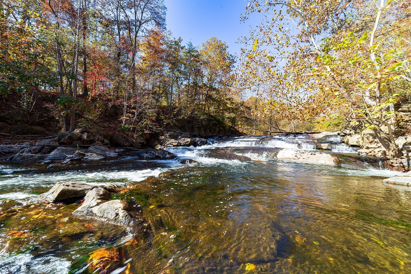
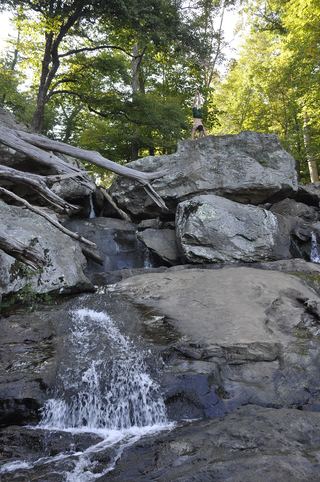
McKeldin Falls is a rapid on the South Branch Patapsco River in the McKeldin Area of Patapsco Valley State Park. The blogger parked by the railroad tracks near the junction of Marriottsville Road and Marriottsville Road 2, crossed the road, and followed the trail along the river. At the top of the hill by restrooms and a paved road, turn right and follow the road to the parking area where it dead ends. A path descends from there to the falls on the McKeldin Rapids Trail.
Plan your visit
McKeldin Area of Patapsco Valley State Park, Marriottsville Road, to the McKeldin Rapids Trail
MidAtlantic DayTrips describes about three-quarters of a mile along the river, then a short road walk to a dead-end parking area and a path down to the falls. No exact distance to the falls is published. Maryland DNR says river access is 0.1 mile from the Rapids Trail.
Mostly gentle river trail with minor climbs, some eroded sections and downed trees. Horses use the trail. The blogger notes no swimming at the beach below the falls.
Where to start
Roadside or the larger lot by the railroad tracks on Marriottsville Road, per the blogger. The McKeldin Area entrance is at 11676 Marriottsville Road, Marriottsville.
Timing & water
Open all year. The blogger lists hours as dawn to dusk.
Before you go
Maryland DNR McKeldin Area service charge, April to October: weekdays $2 per vehicle in-state, $4 out-of-state; weekends and holidays $3 per person in-state, $5 out-of-state. November to March: honor system.
Visitor informationVisit sources
More waterfalls nearby
Within 40 straight-line miles. Road and trail distances will differ.
- Cascade FallsOfficial park area and fees confirmed; trail route from park lot not detailedHoward County, MD11 miSE
- Round FallsPartial guide: trail location documented; parking and exact access point not confirmedBaltimore city, MD14 miE
- Stubblefield FallsOfficial trail and parking confirmed; rapids seen from the trailMontgomery County, MD31 miSW
 Great FallsResearched visit notes46 ft (14 m) · Montgomery County, MD31 miSW
 Scott's Run FallsCounty park trail route and parking documentedFairfax County, VA31 miSW
 Kilgore FallsState park trail; summer weekend reservations; stream crossing to the base17 ft (5.2 m) · Harford County, MD34 miNE
 Cunningham FallsOfficial state park trail to the falls78 ft (23.8 m) · Frederick County, MD37 miNW