Scott's Run Falls
Fairfax County, Virginia
Your visit at a glance
- Waterfall height
- Not recorded
- Location
- Fairfax County, Virginia
- Access status
- County park trail route and parking documented
- The walk
- 0.7 mile to the falls (Go Hike Virginia)
- Ground & access
- Wide gravel trail with two stream crossings and a short, steep climb and descent. Unblazed connector trails can make the route confusing; take a photo of the map at the kiosk.
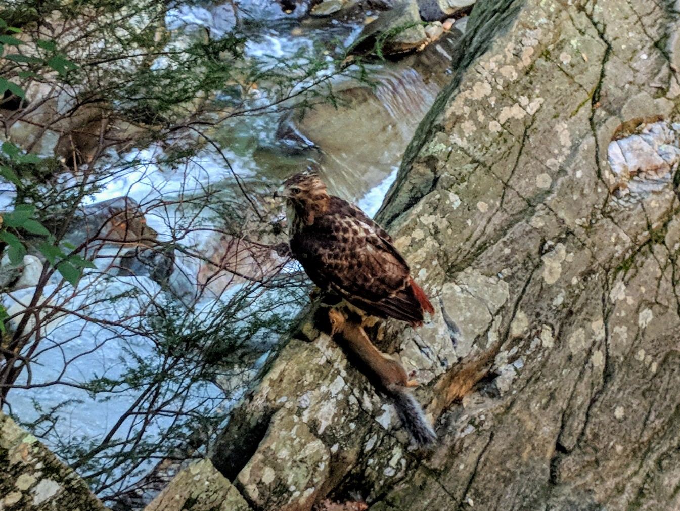
Scott's Run Falls is near the mouth of Scott's Run in Scott's Run Nature Preserve, a Fairfax County park. From the parking area on Georgetown Pike, start at the back of the lot at the vehicle barrier and pass a kiosk with a park map. Follow the light blue-blazed Potomac Heritage Trail, a wide gravel trail alongside Scott's Run. Cross the run twice, then make a short but steep climb and descent to the waterfall. Return the same way, or continue on the longer loop described by Go Hike Virginia.
Plan your visit
Main Scott's Run Nature Preserve parking area on Georgetown Pike, Potomac Heritage Trail along and across Scott's Run to the waterfall
Go Hike Virginia reaches the waterfall at the 0.7-mile mark of its 3.3-mile loop and retraces its steps from the falls before continuing the loop.
Wide gravel trail with two stream crossings and a short, steep climb and descent. Unblazed connector trails can make the route confusing; take a photo of the map at the kiosk.
Where to start
Scott's Run Nature Preserve, 7400 Georgetown Pike, McLean. The county says to use designated parking spaces only and that violators may be towed. Go Hike Virginia says parking is very hard to find on weekends.
Timing & water
The park is open dawn to dusk and closes at dark. Swimming, alcohol, grills, coolers and picnicking are prohibited. Signs at the falls prohibit swimming and wading.
Before you go
Go Hike Virginia lists the hike as free.
Visitor informationVisit sources
More waterfalls nearby
Within 40 straight-line miles. Road and trail distances will differ.
- Stubblefield FallsOfficial trail and parking confirmed; rapids seen from the trailMontgomery County, MD0.4 miE
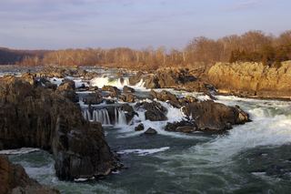 Great FallsResearched visit notes46 ft (14 m) · Montgomery County, MD3.4 miNW
- Brambleton Sign/Water DecorationLoudoun County, VA18 miW
- Coe CreekFairfax County, VA19 miSW
- Cascade FallsOfficial park area and fees confirmed; trail route from park lot not detailedHoward County, MD31 miNE
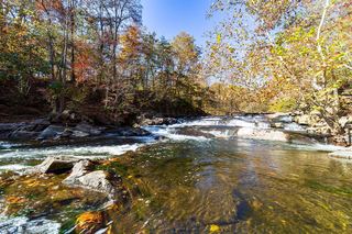 McKeldin FallsOfficial park area and fees; visitor route documentedCarroll County, MD31 miNE
- Pua FallsClarke County, VA38 miW
- Round FallsPartial guide: trail location documented; parking and exact access point not confirmedBaltimore city, MD39 miNE