Round Falls
Baltimore city, Maryland
Your visit at a glance
- Waterfall height
- Not recorded
- Location
- Baltimore city, Maryland
- Access status
- Partial guide: trail location documented; parking and exact access point not confirmed
- The walk
- Short path and stairway from the Jones Falls Trail; measured distance unknown
- Ground & access
- Atlas Obscura calls the path down to the water short but precarious. Urban stream that floods after heavy rain.
Walk the Jones Falls Trail near Druid Hill Park and look for the small wooden sign for the James W. Rouse Memorial Deck at Round Falls. A short path and stairway lead down to a viewing deck at the 10-foot semicircular dam remnant on the Jones Falls. The Wyman Park Drive bridge overlooks the area.
Plan your visit
Jones Falls Trail near Druid Hill Park to the Rouse Memorial Deck at Round Falls
Sources describe only a short path from the trail. The 11-mile figure is the whole Jones Falls Trail, not the walk to the falls.
Atlas Obscura calls the path down to the water short but precarious. Urban stream that floods after heavy rain.
Where to start
No designated parking for the falls was found. Sources give only the trail location near Druid Hill Park and the Wyman Park Drive bridge.
Timing & water
Current condition of the stairway and deck unverified. Avoid after heavy rain.
Before you go
No fee known for the Jones Falls Trail.
Visitor informationMore waterfalls nearby
Within 40 straight-line miles. Road and trail distances will differ.
- Cascade FallsOfficial park area and fees confirmed; trail route from park lot not detailedHoward County, MD8.6 miSW
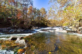 McKeldin FallsOfficial park area and fees; visitor route documentedCarroll County, MD14 miW
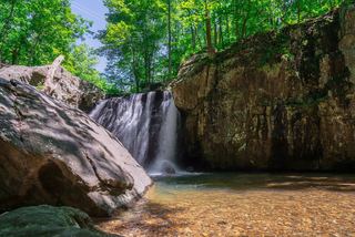 Kilgore FallsState park trail; summer weekend reservations; stream crossing to the base17 ft (5.2 m) · Harford County, MD28 miNE
- Stubblefield FallsOfficial trail and parking confirmed; rapids seen from the trailMontgomery County, MD39 miSW
 Scott's Run FallsCounty park trail route and parking documentedFairfax County, VA39 miSW