Stubblefield Falls
Montgomery County, Maryland
Your visit at a glance
- Waterfall height
- Not recorded
- Location
- Montgomery County, Maryland
- Access status
- Official trail and parking confirmed; rapids seen from the trail
- The walk
- 1.6 to 1.7 miles for Section C, plus about 0.6 mile of towpath from Carderock
- Ground & access
- Mostly wooded trail with a few rock outcroppings. NPS rates Section C easy to moderate. Stay off slippery rocks; never enter the river.
Stubblefield Falls is a set of rapids on the Potomac River. From Carderock Recreation Area, walk the C&O Canal towpath upstream to Billy Goat Trail Section C. A Backpacker route description notes the class 3 Stubblefield Falls rapids on the right along Section C. Follow the blue blazes, then return to the towpath and walk back to Carderock. NPS says the trail has river views and a small waterfall, with a few rock outcroppings.
Plan your visit
Carderock Recreation Area to Billy Goat Trail Section C beside Stubblefield Falls
NPS gives Section C as 1.6 miles one way; the C&O Canal Trust gives a 1.7 mile loop back to the towpath. The Trust lists the Carderock South Parking Lot about 0.6 mile from Section C. These are trail distances, not to the falls alone.
Mostly wooded trail with a few rock outcroppings. NPS rates Section C easy to moderate. Stay off slippery rocks; never enter the river.
Where to start
Carderock Recreation Area, the closest parking for Section C per NPS. South lot about 0.6 mile and north lot about 0.9 mile from the trail, per the C&O Canal Trust.
Timing & water
Open all year. Pets permitted on Section C per NPS.
Before you go
NPS says the park is free except the Great Falls Tavern area. Carderock is not in that fee area.
Visitor informationVisit sources
More waterfalls nearby
Within 40 straight-line miles. Road and trail distances will differ.
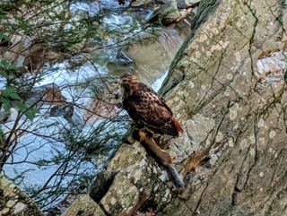 Scott's Run FallsCounty park trail route and parking documentedFairfax County, VA0.4 miW
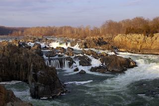 Great FallsResearched visit notes46 ft (14 m) · Montgomery County, MD3.7 miNW
- Brambleton Sign/Water DecorationLoudoun County, VA18 miW
- Coe CreekFairfax County, VA19 miSW
- Cascade FallsOfficial park area and fees confirmed; trail route from park lot not detailedHoward County, MD30 miNE
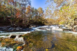 McKeldin FallsOfficial park area and fees; visitor route documentedCarroll County, MD31 miNE
- Pua FallsClarke County, VA39 miW
- Round FallsPartial guide: trail location documented; parking and exact access point not confirmedBaltimore city, MD39 miNE