Old Dam Waterfall
Washington County, Maryland
Your visit at a glance
- Waterfall height
- 3 ft (1 m)
- Location
- Washington County, Maryland
- Access status
- Probable match to the weir below Burnside Bridge; identity not confirmed
- The walk
- Short walk from the Burnside Bridge stop; no published distance to the weir
- Ground & access
- Mostly flat near the bridge. The Snavely Ford Trail has one uphill climb at the end.
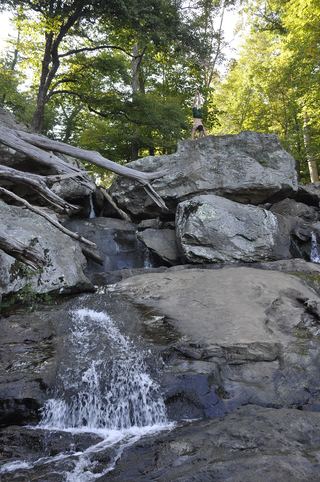
This appears to be the old dam or weir on Antietam Creek just below the historic Burnside Bridge in Antietam National Battlefield. A paddling guide describes an intact dam or weir below the bridge with a two-foot drop. Park at the Burnside Bridge stop on the battlefield tour road and walk to the bridge; the Snavely Ford Trail starts there and follows the creek. The name Old Dam Waterfall is not used by any source read, so the match to this weir is probable, not confirmed.
Plan your visit
Burnside Bridge area of Antietam National Battlefield (Auto Tour Stop 8) to the old dam or weir just below the bridge on Antietam Creek
No source gives a walking distance to the weir itself. The paddling guide places the weir below the bridge. The Snavely Ford Trail, a 1.8-mile loop from Auto Tour Stop 8, follows the creek.
Mostly flat near the bridge. The Snavely Ford Trail has one uphill climb at the end.
Where to start
Auto Tour Stop 8 (Burnside Bridge) on the battlefield tour road. The exact lot used for the weir view was not confirmed.
Timing & water
The park is open year-round. The visitor center is open daily 9 a.m. to 5 p.m. and the park closes Thanksgiving, December 25 and January 1.
Before you go
Antietam National Battlefield requires an entrance pass; the standard pass is listed at $10 to $20.
Visitor informationVisit sources
More waterfalls nearby
Within 40 straight-line miles. Road and trail distances will differ.
 Cunningham FallsOfficial state park trail to the falls78 ft (23.8 m) · Frederick County, MD19 miNE
- Pua FallsClarke County, VA28 miS
- Brambleton Sign/Water DecorationLoudoun County, VA34 miS
- Jarrett FallsNamed State Game Lands trail with wet, cable-assisted stream crossings7 ft (2 m) · Fulton County, PA35 miNW