WaterfallNear Me

Alabama waterfall visits

Compare 20 Alabama waterfall visits by the approach, terrain, and where to start. Some routes have closures or unresolved details; read the individual guide before travelling.

20 visit options

Cornelius Falls, AL.

Approach or parking partly unconfirmed

Alabama

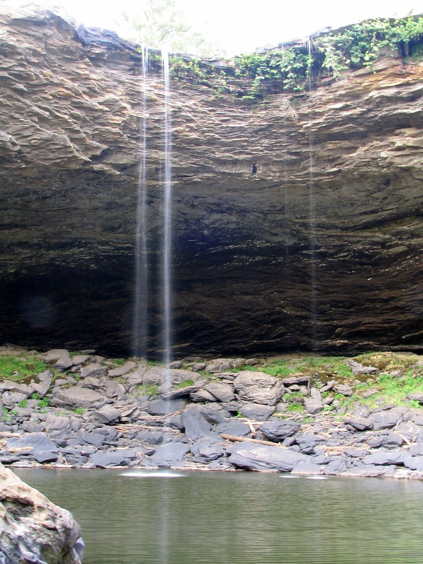
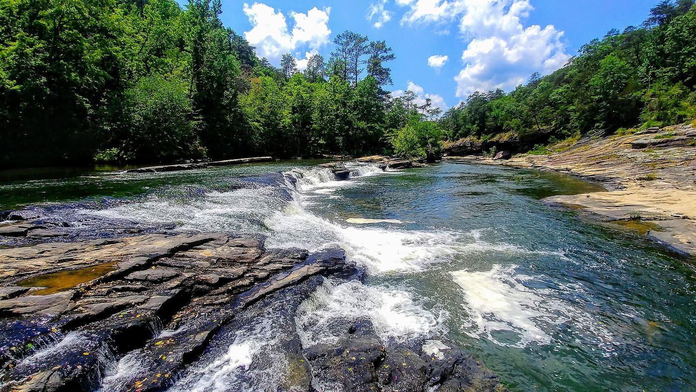
Cornelius Falls

No currently authorized walking distance established.

Blount County Tourism identifies Cornelius Falls as private property with canoe or kayak access only. Its separate hiking page describes an undeveloped riverbank approach from Taylor Ford. These conflict, so the walking directions are withheld pending access clarification.
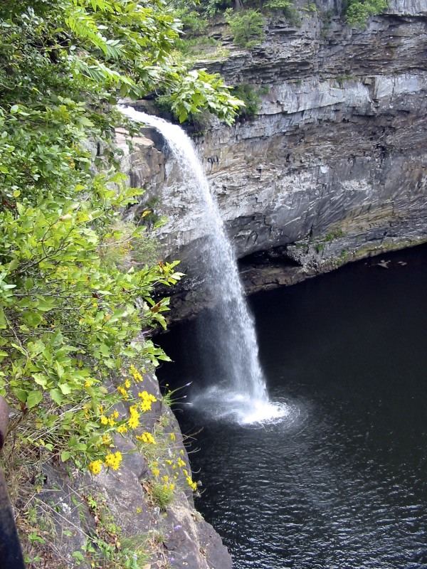
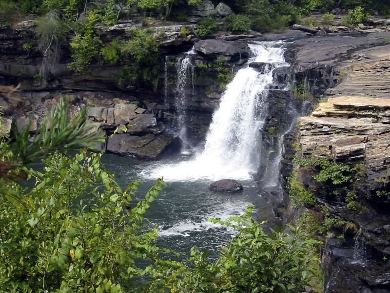
Photo creditPhoto: Maria Brindle, CC BY-SA 4.0, via Wikimedia Commons
DeSoto Falls, AL.

Source-reviewed route and parking

Alabama

DeSoto Falls

About 50 steps down to overlook

Alabama State Parks describes the picnic-area sidewalk as the easiest side-view approach. Descend about 50 concrete steps to the lower observation platform. Separate Overlook and River trails are more demanding.

Photo creditPhoto: Jsfouche, CC BY-SA 3.0, via Wikimedia Commons
Noccalula Falls, AL

Official nearby parking and upper viewing location documented; distance unknown

Alabama

Noccalula Falls

Short viewpoint walk; exact distance unknown

Use the large parking lot near the Chapel for the nearby upper view of Noccalula Falls. For a separate descent into the gorge, the park identifies the marked Gorge Trail on the paid-admission side as the easier approach; the campground-side descent is steeper.

Photo creditPhoto: Brent Moore from Smyrna, TN, USA, CC BY 2.0, via Wikimedia Commons

Alabama

Azalea Cascade

360 yards each way on the boardwalk

Follow the Talmadge Butler Boardwalk in DeSoto State Park to the deck above Azalea Cascade. The state park also lists a Red Trail approach behind the Country Store, but this guide uses the boardwalk.

Location map; no photo available.

Signed parking documented; current permission unverified

Alabama

Caney Creek Falls

Reported distance conflicts

Caney Creek waterfall walk with unresolved private-property parking access.

Location map; no photo available.

River identity confirmed; walking approach unconfirmed

Alabama

Factory Falls

No verified parking-to-waterfall walk

Factory Falls is labelled Lower Factory Falls on the TVA Bear Creek Floatway map. Bear Creek Development Authority requires portage at both Factory Falls. No independent public walking approach to this waterfall has been verified.

Location map; no photo available.

Researched walking route

Alabama

Grace's High Falls

Short overlook walk

Roadside deck overlooks a seasonal 133-foot waterfall across Little River Canyon.

Location map; no photo available.

Official parking and short footpath verified

Alabama

Indian Falls

About 0.2 mile return

Park at the Talmadge Butler Trailhead on DeSoto Parkway. Cross the road and follow the small footpath to Indian Falls on Laurel Creek. A wooden footbridge crosses above the waterfall. Return the same way.

Location map; no photo available.

Source-reviewed route and parking

Alabama

Laurel Falls

About 3 miles for the described loop visiting both falls.

The firsthand Exploring Alabama route starts across the road from the Lost Falls Trailhead lot on the Orange Trail. It follows Blue along Laurel Creek to Lost Falls, then Red across the creek uphill to Orange. Turn west on Orange to reach the signed short spur to Laurel Falls, and continue on Orange back to the start. The park confirms Laurel Falls is on Laurel Creek off Orange.

Location map; no photo available.

Alabama

Little Falls

NPS lists a 0.75-mile trail; return on the same route

Little Falls, formerly Martha’s Falls, lies downstream of Little River Falls. Follow the sandstone trail along the canyon rim, then descend 137 stone steps to the river.

Location map; no photo available.

Researched walking route

Alabama

Lodge Falls

Distance not verified

Rainfall-dependent waterfall behind DeSoto State Park Lodge.

Location map; no photo available.

Official parking and complete waterfall loop documented

Alabama

Lost Falls

Approximately 2.78-mile loop

From the small trailhead behind the Country Store, follow orange blazes past the Laurel Falls spur to Lost Falls. Continue on orange to the junction and turn left onto blue. Follow blue to the Talmadge Butler Boardwalk and use the boardwalk back toward the store, as described in the park hike sheet.

Location map; no photo available.

Source-reviewed route and parking

Alabama

Mardis Mills Falls

About 100 yards one way; about 200 yards return.

From the parking area near the Mardis Mill Road bridge, descend the rocky approach to Mardis Mills Falls. The longer canyon walk described by county tourism continues downstream and is not the distance to the waterfall.

Location map; no photo available.

River identity confirmed; walking approach unconfirmed

Alabama

Mill Falls

No verified parking-to-waterfall walk

Mill Falls is labelled Upper Factory Falls on the TVA Bear Creek Floatway map. Bear Creek Development Authority requires portage at both Factory Falls. No independent public walking approach to this waterfall has been verified.

Location map; no photo available.

Source-reviewed route and parking

Alabama

Peavine Falls

Short falls approach; exact distance from this parking lot not established in the reviewed park pages.

From Peavine Falls parking, use the White or Blue Trail toward the falls. The park distinguishes these approaches from the Green Trail, which ends at the parking lot rather than at the waterfall. Reaching the base involves a steep descent.

Location map; no photo available.

Alabama

Pisgah Gorge Falls #1

About 500 feet out and back from the shelter

View the upper waterfall in Pisgah Gorge from the wooden observation deck reached by the path beside the picnic shelter. This guide stops at the deck rather than following the steep scramble to the base.

Location map; no photo available.

Researched walking route

Alabama

Powell Falls

Distance not verified

Riverbank hike to twin falls, starting at Swann Covered Bridge Park.

Location map; no photo available.

Approach or parking partly unconfirmed

Alabama

Salt Creek Falls

Less than half a mile one way in the firsthand description; exact length uncertain.

Colben Freeman’s Outbound account describes parking at a small roadside pull-off and walking past a vehicle-blocking dirt mound to the top of Salt Creek Falls. A separate firsthand account corroborates this start. These are visitor accounts, not current land-manager access confirmation.

Location map; no photo available.

Public access unconfirmed; nearby trail residents-only

Alabama

Waterfall

No verified public parking-to-waterfall route

The nearby Waterfall Loop Trail in McMullen Cove runs from Blake’s Cabin around the top of a waterfall toward Big Bluff Trail. Trailforks explicitly restricts it to McMullen Cove residents. A public approach or viewpoint for this waterfall has not been confirmed.

Location map; no photo available.

Choose another state All mapped waterfalls in Alabama