Little Falls
Cherokee County, Alabama
Your visit at a glance
- Waterfall height
- Not recorded
- Location
- Cherokee County, Alabama
- The walk
- NPS lists a 0.75-mile trail; return on the same route
- Ground & access
- NPS rates the trail moderate. Sandstone footing and a substantial stone staircase make this a different route from the accessible Little River Falls overlook.
Little Falls, formerly Martha’s Falls, lies downstream of Little River Falls. Follow the sandstone trail along the canyon rim, then descend 137 stone steps to the river.
Plan your visit
Little Falls Trail and stone stairs
NPS lists 0.75 mile and labels the route out-and-back without explicitly saying whether that mileage includes the return. Allow for the return climb and 137 stone steps.
NPS rates the trail moderate. Sandstone footing and a substantial stone staircase make this a different route from the accessible Little River Falls overlook.
Where to start
Start at the paved Little River Falls parking lot on Highway 35. The trail begins midway down the boardwalk ramp to the left or at the south edge of the lot near a picnic bench.
Timing & water
Late-spring and summer weekend parking can fill by 11 a.m.; NPS may close entry until spaces open. Check current river conditions before visiting.
Before you go
Fees, permits and reservation requirements for this visit have not been confirmed; check with the land manager.
Visitor informationMore waterfalls nearby
Within 40 straight-line miles. Road and trail distances will differ.
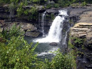 Little River FallsResearched visit notesDeKalb County, AL0.6 miNW
- Grace's High FallsResearched walking routeDeKalb County, AL4.0 miSW
- Lodge FallsResearched walking routeDeKalb County, AL7.3 miN
- Lost FallsOfficial parking and complete waterfall loop documentedDeKalb County, AL7.4 miN
- Laurel FallsSource-reviewed route and parkingDeKalb County, AL7.4 miN
- Azalea CascadeResearched visit notesDeKalb County, AL7.5 miN
- Indian FallsOfficial parking and short footpath verifiedDeKalb County, AL7.6 miN
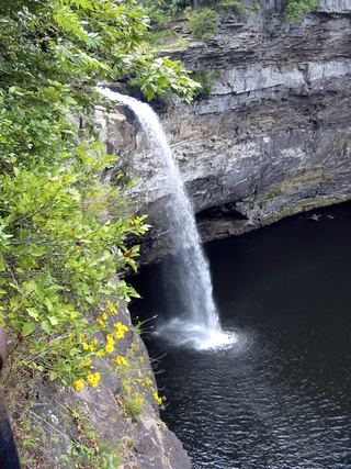 DeSoto FallsSource-reviewed route and parkingDeKalb County, AL11 miN
- Pisgah Gorge Falls #1Researched visit notesJackson County, AL24 miNW