DeSoto Falls
DeKalb County, Alabama
Your visit at a glance
- Waterfall height
- Not recorded
- Location
- DeKalb County, Alabama
- Access status
- Source-reviewed route and parking
- The walk
- About 50 steps down to overlook
- Ground & access
- Sidewalk and approximately 50 concrete steps.
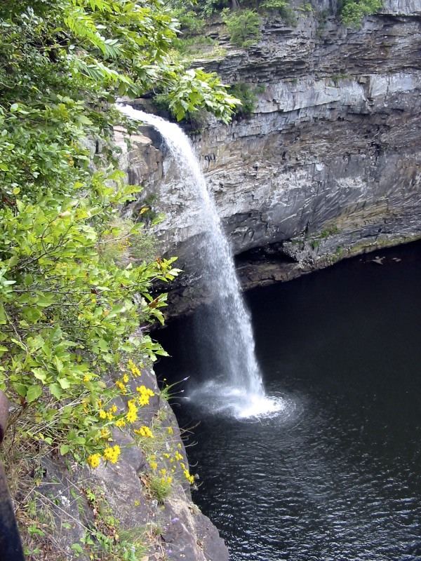
Alabama State Parks describes the picnic-area sidewalk as the easiest side-view approach. Descend about 50 concrete steps to the lower observation platform. Separate Overlook and River trails are more demanding.
Plan your visit
DeSoto Falls Picnic Area sidewalk and observation platform
Only the stated source distance is supported; mapped proximity is not a walking distance.
Sidewalk and approximately 50 concrete steps.
Where to start
Use DeSoto Falls Picnic Area parking near Mentone, seven miles from the main state park. No roadside or overflow parking; no access for RVs or trailers.
Timing & water
Daylight hours; closes at dusk. Flow is generally higher in winter and early spring.
Before you go
$5 per vehicle parking fee.
Visitor informationVisit sources
More waterfalls nearby
Within 40 straight-line miles. Road and trail distances will differ.
- Indian FallsOfficial parking and short footpath verifiedDeKalb County, AL3.8 miSW
- Azalea CascadeResearched visit notesDeKalb County, AL3.9 miSW
- Lodge FallsResearched walking routeDeKalb County, AL4.1 miS
- Laurel FallsSource-reviewed route and parkingDeKalb County, AL4.2 miSW
- Lost FallsOfficial parking and complete waterfall loop documentedDeKalb County, AL4.4 miSW
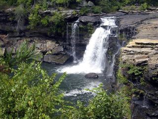 Little River FallsResearched visit notesDeKalb County, AL11 miS
- Little FallsResearched visit notesCherokee County, AL11 miS
- Grace's High FallsResearched walking routeDeKalb County, AL14 miS
- Pisgah Gorge Falls #1Researched visit notesJackson County, AL17 miNW