Indian Falls
DeKalb County, Alabama
Your visit at a glance
- Waterfall height
- Not recorded
- Location
- DeKalb County, Alabama
- Access status
- Official parking and short footpath verified
- The walk
- About 0.2 mile return
- Ground & access
- Short footpath and wooden footbridge. The park classifies Indian Falls as an easy walk; the longer river trails are separate outings.
Park at the Talmadge Butler Trailhead on DeSoto Parkway. Cross the road and follow the small footpath to Indian Falls on Laurel Creek. A wooden footbridge crosses above the waterfall. Return the same way.
Plan your visit
Talmadge Butler trailhead to Indian Falls
The park places Indian Falls about 0.1 mile from the trailhead; return distance doubles that approach.
Short footpath and wooden footbridge. The park classifies Indian Falls as an easy walk; the longer river trails are separate outings.
Where to start
Talmadge Butler Trailhead parking on County Road 89 (DeSoto Parkway), documented by the park trailhead sheet.
Timing & water
Rainfall dependent. The park recommends spring, late fall and winter for waterfall flow and says most streams and falls are dry in summer.
Before you go
Current day-use charges and reservations are not specified in the reviewed waterfall and trailhead sources.
Visitor informationMore waterfalls nearby
Within 40 straight-line miles. Road and trail distances will differ.
- Azalea CascadeResearched visit notesDeKalb County, AL0.2 miSW
- Lodge FallsResearched walking routeDeKalb County, AL0.3 miS
- Laurel FallsSource-reviewed route and parkingDeKalb County, AL0.5 miSW
- Lost FallsOfficial parking and complete waterfall loop documentedDeKalb County, AL0.9 miW
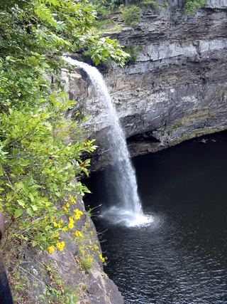 DeSoto FallsSource-reviewed route and parkingDeKalb County, AL3.8 miNE
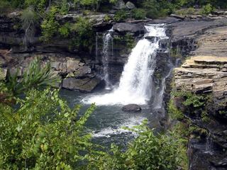 Little River FallsResearched visit notesDeKalb County, AL7.2 miS
- Little FallsResearched visit notesCherokee County, AL7.6 miS
- Grace's High FallsResearched walking routeDeKalb County, AL10 miS
- Pisgah Gorge Falls #1Researched visit notesJackson County, AL18 miNW