Laurel Falls
DeKalb County, Alabama
Your visit at a glance
- Waterfall height
- Not recorded
- Location
- DeKalb County, Alabama
- Access status
- Source-reviewed route and parking
- The walk
- About 3 miles for the described loop visiting both falls.
- Ground & access
- Uneven sandstone, roots, creek crossings and uphill sections. Park management calls the Laurel Falls approach rugged and moderate.
The firsthand Exploring Alabama route starts across the road from the Lost Falls Trailhead lot on the Orange Trail. It follows Blue along Laurel Creek to Lost Falls, then Red across the creek uphill to Orange. Turn west on Orange to reach the signed short spur to Laurel Falls, and continue on Orange back to the start. The park confirms Laurel Falls is on Laurel Creek off Orange.
Plan your visit
Lost Falls Trailhead loop through Lost and Laurel Falls
Three miles is the firsthand full Lost/Laurel loop. The park’s separate 0.75-mile distance starts at the Country Store, not this parking lot.
Uneven sandstone, roots, creek crossings and uphill sections. Park management calls the Laurel Falls approach rugged and moderate.
Where to start
Use Lost Falls Trailhead parking on DeSoto Parkway. The firsthand account locates it about half a mile beyond the campground entrance when approaching from Lookout Mountain Parkway.
Timing & water
Park management says most streams dry in summer; spring, late fall and winter usually have the most flow.
Before you go
Unknown: current fees or reservation requirements were not established in the reviewed source.
Visitor informationMore waterfalls nearby
Within 40 straight-line miles. Road and trail distances will differ.
- Azalea CascadeResearched visit notesDeKalb County, AL0.3 miNE
- Lost FallsOfficial parking and complete waterfall loop documentedDeKalb County, AL0.4 miW
- Lodge FallsResearched walking routeDeKalb County, AL0.5 miE
- Indian FallsOfficial parking and short footpath verifiedDeKalb County, AL0.5 miNE
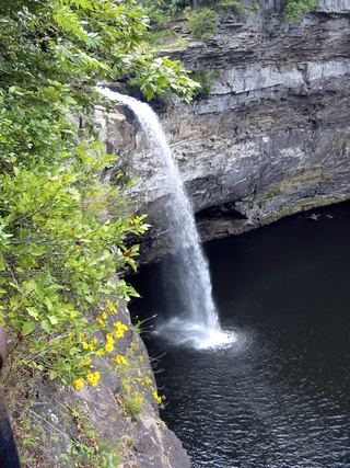 DeSoto FallsSource-reviewed route and parkingDeKalb County, AL4.2 miNE
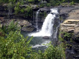 Little River FallsResearched visit notesDeKalb County, AL6.9 miS
- Little FallsResearched visit notesCherokee County, AL7.4 miS
- Grace's High FallsResearched walking routeDeKalb County, AL10 miS
- Pisgah Gorge Falls #1Researched visit notesJackson County, AL18 miNW