Waterfalls near San Francisco, CA
17 named waterfalls within 30 miles of San Francisco, closest first. Distances are straight-line from the town center.
Visits with route details
Read the walking route, starting point and current access notes.
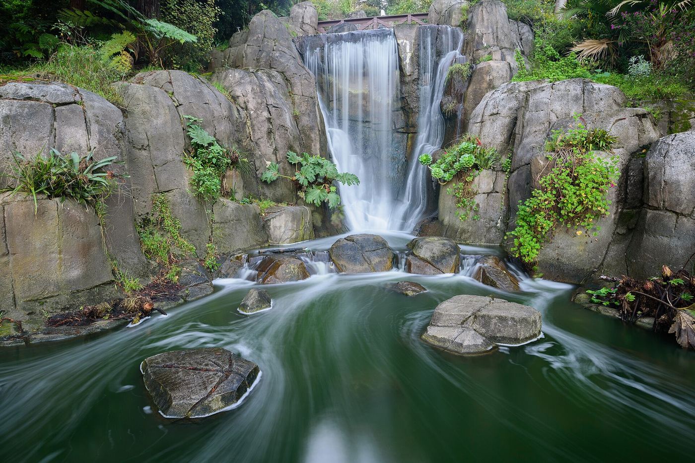
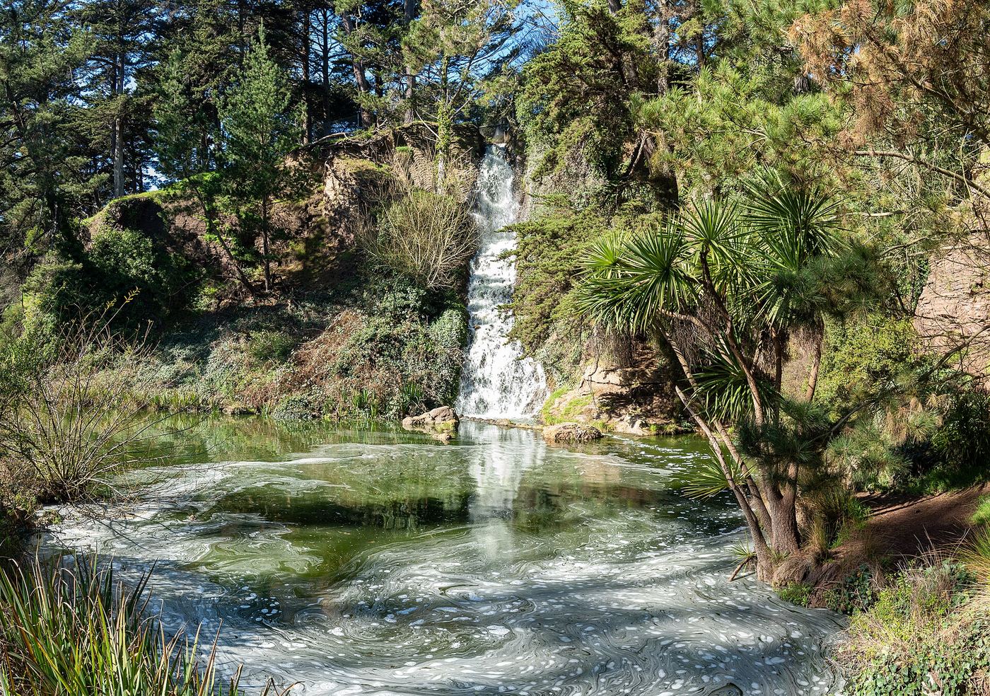
 Huntington FallsSource-reviewed route and parking110 ft (33.5 m) · San Francisco County, CA
 Rainbow FallsPartial: park viewpoint; flow and parking not confirmedSan Francisco County, CA
- Dawn FallsPublished hiking route and street parking documentedMarin County, CA
 Laurel Dell FallsPartial guide: route to Laurel Dell documented; exact drop not named in sourcesMarin County, CA
- Midway FallsPublished trail route and roadside trailhead documented; steep stairsMarin County, CA
- Helen Markt FallsPublished trail route and roadside trailhead documented; steep stairsMarin County, CA
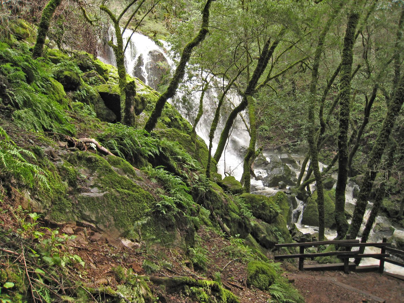
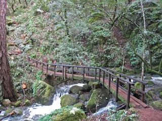 Cataract FallsPublished trail route; roadside parking at the hairpinMarin County, CA
- Little Carson FallsSigned water district trailMarin County, CA
- Cascade FallsPublished trail log and parking documented; limited residential parkingMarin County, CA
- Abrigo FallsFinal scramble is an informal route15 ft (4.5 m) · Contra Costa County, CA
- Buck Gulch FallsPartial guide: path crosses an easement onto ranch land; parking not confirmedMarin County, CA
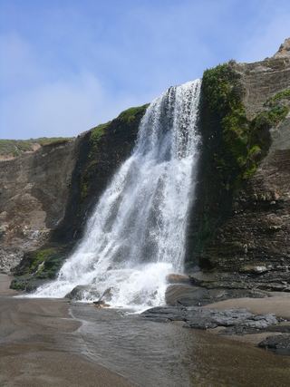 Alamere FallsLong hike with tide-dependent beach access; use the NPS route.Marin County, CA
- Stairstep FallsPublished trail route and roadside parking documented; fee at the pullout unconfirmedMarin County, CA
Closest with a photo
All 17 waterfalls
- Huntington FallsSource-reviewed route and parking110 ft (33.5 m) · San Francisco County, CA3.0 miW
- Rainbow FallsPartial: park viewpoint; flow and parking not confirmedSan Francisco County, CA3.2 miW
- Grey Fox Creek FountainSan Francisco County, CA3.8 miS
- Kent FallsMarin County, CA12 miNW
- Dawn FallsPublished hiking route and street parking documentedMarin County, CA14 miNW
- Laurel Dell FallsPartial guide: route to Laurel Dell documented; exact drop not named in sourcesMarin County, CA15 miNW
- Midway FallsPublished trail route and roadside trailhead documented; steep stairsMarin County, CA16 miNW
- Helen Markt FallsPublished trail route and roadside trailhead documented; steep stairsMarin County, CA16 miNW
- Cataract FallsPublished trail route; roadside parking at the hairpinMarin County, CA16 miNW
- Little Carson FallsSigned water district trailMarin County, CA18 miNW
- Cascade FallsPublished trail log and parking documented; limited residential parkingMarin County, CA18 miNW
- Abrigo FallsFinal scramble is an informal route15 ft (4.5 m) · Contra Costa County, CA19 miNE
- Roy's RifflesMarin County, CA21 miNW
- Buck Gulch FallsPartial guide: path crosses an easement onto ranch land; parking not confirmedMarin County, CA22 miNW
- Alamere FallsLong hike with tide-dependent beach access; use the NPS route.Marin County, CA23 miNW
- Stairstep FallsPublished trail route and roadside parking documented; fee at the pullout unconfirmedMarin County, CA24 miNW
- Tehan Falls60 ft (18.3 m) · Alameda County, CA27 miE