Waterfalls near Bennington, VT
32 named waterfalls within 30 miles of Bennington, closest first. Distances are straight-line from the town center.
Visits with route details
Read the walking route, starting point and current access notes.
- Hoosick FallsVillage bridge viewpoint with greenway parkingRensselaer County, NY
- Haley FallsShort trail, platform and parking documentedBerkshire County, MA
- Money Brook FallsOfficial trail mileage and named trailhead documented; seasonal auto roadBerkshire County, MA
- March Cataract FallsMarked trail route documented; parking per visitor accountsBerkshire County, MA
- Twin CascadePartial guide: private land, parking and current trail condition not confirmedBerkshire County, MA
- Deer Hill FallsSigned state reservation trail; road access seasonalBerkshire County, MA
- Peck's FallsShort published trail from Gould Road; informal parkingBerkshire County, MA
- Lye Brook FallsResearched route and starting areaBennington County, VT
- Tannery FallsPublished short trail from the state forest lot; seasonal roadBerkshire County, MA
- Buttermilk FallsPartial guide: roadside view from an informal pull-off; land status of the path not statedRensselaer County, NY
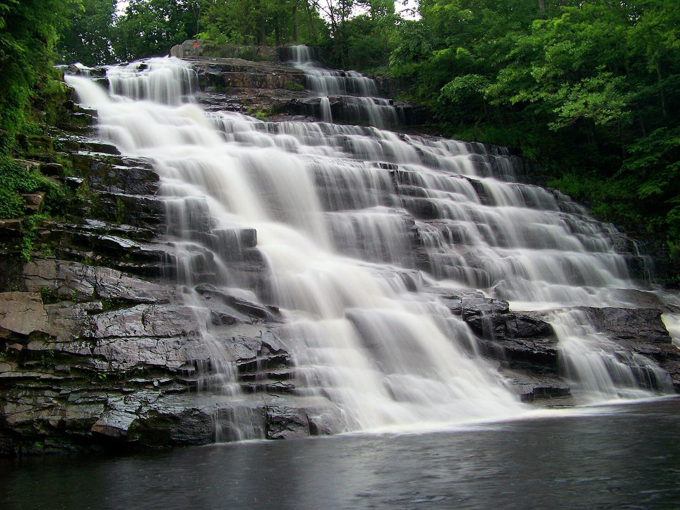
 Barberville FallsShort steep preserve trail from a dedicated lotRensselaer County, NY
- Cascade on South BrookVery short path from parking area in a wildlife management area7 ft (2 m) · Berkshire County, MA
- Middle FallsView from the NY 29 bridge; public river-access lotWashington County, NY
- Dionondahowa FallsShort signed public trail to a railed viewpointWashington County, NY
- Wynants Kill FallsPartial guide: roadside view only; adjoining land status not statedRensselaer County, NY
- Piscawen FallsPartial guide: public city park; walking route to the falls not describedRensselaer County, NY
- Saratoga FallsPartial guide: park overlook of the dam at the old falls; parking not describedSaratoga County, NY
- Swatling FallsPartial guide: short trail in a housing development; manager and parking status not statedSaratoga County, NY
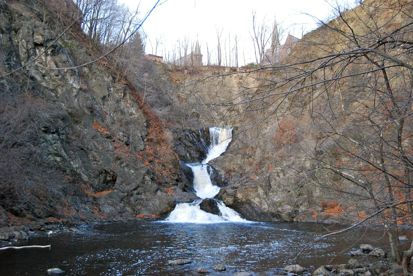
 Poesten Kill FallsPartial guide: views only; the city prohibits access into the gorge, and park overlook rules are not publishedRensselaer County, NY
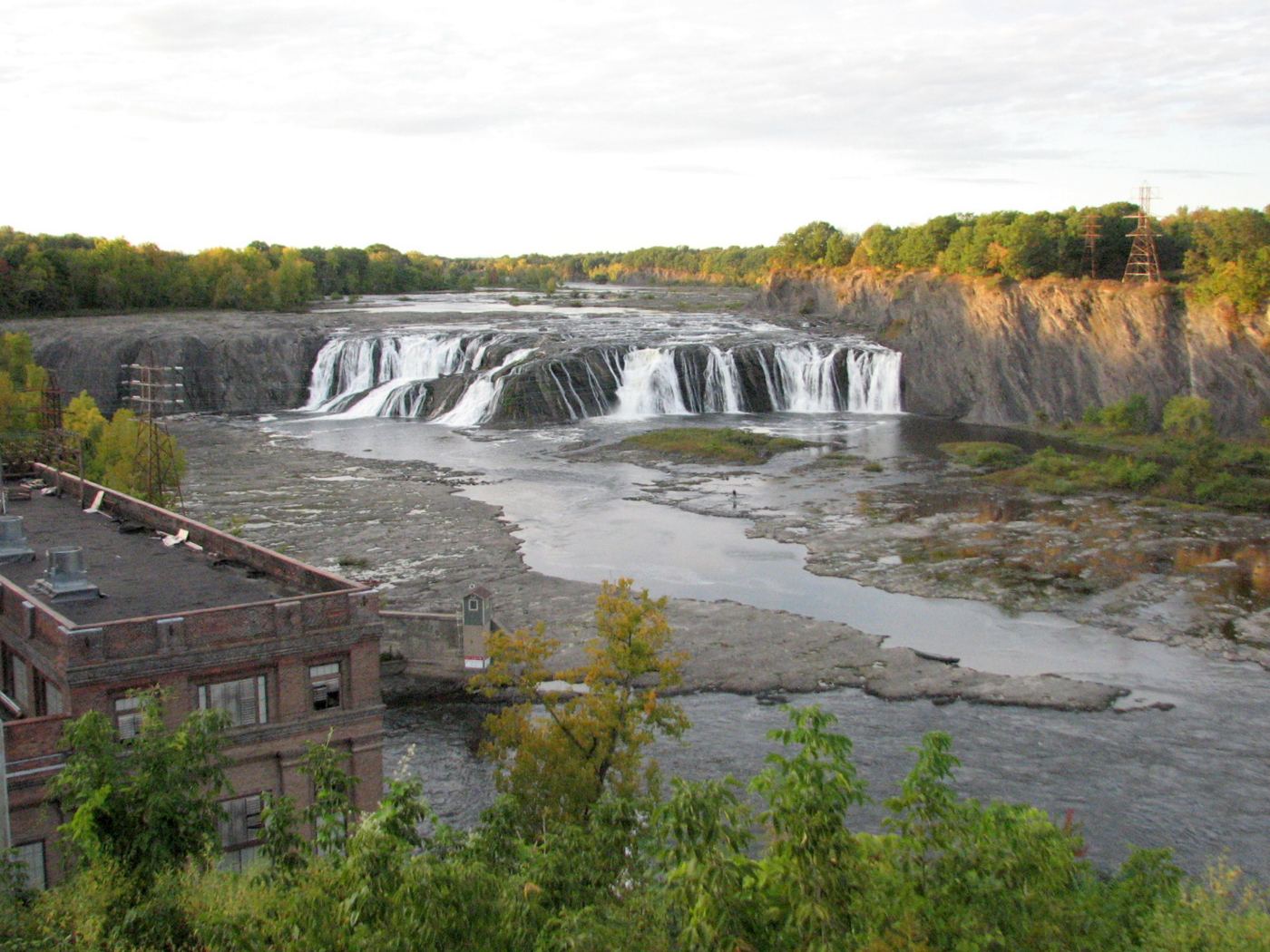
 Cohoes FallsViewing parks beside the falls; seasonal opening89 ft (27 m) · Albany County, NY
- Upper Burden FallsPartial guide: informal urban trail; which falls carries the name Upper Burden Falls is not settledRensselaer County, NY
- Lower Burden FallsPartial guide: preserve trail past several Wynantskill falls; which drop is Lower Burden Falls is not statedRensselaer County, NY
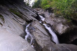 Hamilton FallsGuide: 6-mile state park round trip to a tall, dangerous fallsWindham County, VT
Closest with a photo
All 32 waterfalls
- Hoosick FallsVillage bridge viewpoint with greenway parkingRensselaer County, NY8.0 miW
- Haley FallsShort trail, platform and parking documentedBerkshire County, MA13 miS
- Money Brook FallsOfficial trail mileage and named trailhead documented; seasonal auto roadBerkshire County, MA15 miS
- March Cataract FallsMarked trail route documented; parking per visitor accountsBerkshire County, MA17 miS
- Twin CascadePartial guide: private land, parking and current trail condition not confirmedBerkshire County, MA17 miSE
- Deer Hill FallsSigned state reservation trail; road access seasonalBerkshire County, MA17 miS
- Peck's FallsShort published trail from Gould Road; informal parkingBerkshire County, MA18 miS
- Lower Peck's FallsBerkshire County, MA18 miS
- Silver Fox Falls10 ft (3 m) · Berkshire County, MA19 miS
- Lye Brook FallsResearched route and starting areaBennington County, VT19 miNE
- Tannery FallsPublished short trail from the state forest lot; seasonal roadBerkshire County, MA20 miSE
- Buttermilk FallsPartial guide: roadside view from an informal pull-off; land status of the path not statedRensselaer County, NY21 miW
- Buttermilk Middle FallsRensselaer County, NY22 miW
- Buttermilk Lower FallsRensselaer County, NY22 miW
- Barberville FallsShort steep preserve trail from a dedicated lotRensselaer County, NY22 miSW
- Cascade on South BrookVery short path from parking area in a wildlife management area7 ft (2 m) · Berkshire County, MA22 miS
- Middle FallsView from the NY 29 bridge; public river-access lotWashington County, NY23 miNW
- Dionondahowa FallsShort signed public trail to a railed viewpointWashington County, NY23 miNW
- Wynants Kill FallsPartial guide: roadside view only; adjoining land status not statedRensselaer County, NY25 miSW
- Piscawen FallsPartial guide: public city park; walking route to the falls not describedRensselaer County, NY25 miW
- Saratoga FallsPartial guide: park overlook of the dam at the old falls; parking not describedSaratoga County, NY26 miNW
- Swatling FallsPartial guide: short trail in a housing development; manager and parking status not statedSaratoga County, NY26 miW
- Poesten Kill FallsPartial guide: views only; the city prohibits access into the gorge, and park overlook rules are not publishedRensselaer County, NY27 miSW
- Cohoes FallsViewing parks beside the falls; seasonal opening89 ft (27 m) · Albany County, NY27 miW
- Hoags Corners FallsRensselaer County, NY27 miSW
- Upper Burden FallsPartial guide: informal urban trail; which falls carries the name Upper Burden Falls is not settledRensselaer County, NY27 miSW
- Smart's CascadeRensselaer County, NY27 miSW
- Lower Burden FallsPartial guide: preserve trail past several Wynantskill falls; which drop is Lower Burden Falls is not statedRensselaer County, NY27 miSW
 Upper Burden Falls26 ft (8 m) · Rensselaer County, NY28 miSW
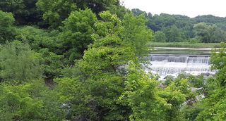 Lower Burden FallsRensselaer County, NY28 miSW
- Corning Cascade FallsRensselaer County, NY28 miSW
- Hamilton FallsGuide: 6-mile state park round trip to a tall, dangerous fallsWindham County, VT28 miNE