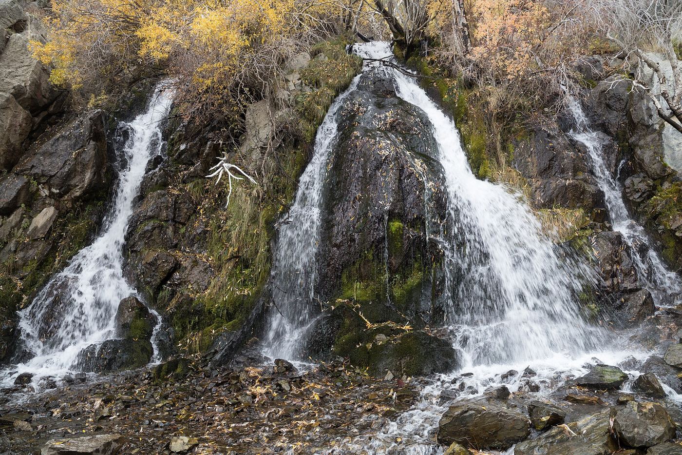
Waterfalls near Truckee, CA
11 named waterfalls within 30 miles of Truckee, closest first. Distances are straight-line from the town center.
Visits with route details
Read the walking route, starting point and current access notes.
- Weber FallsOfficial directions and parking documented; steep, unfenced gorgeSierra County, CA
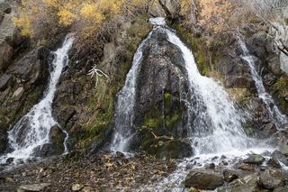 Lower King's Canyon WaterfallShort official trail route and trailhead documentedCarson City, NV
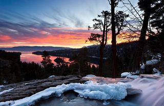 Eagle FallsLower Eagle Falls route verifiedEl Dorado County, CA
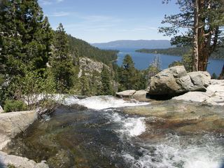 Lower Eagle FallsOfficial state park trailEl Dorado County, CA
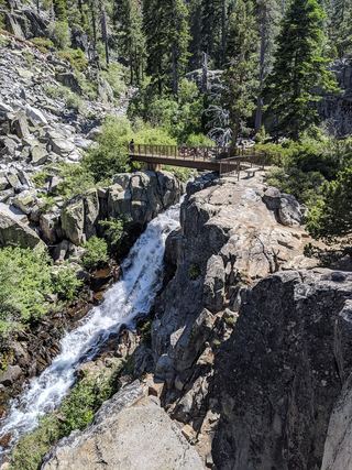 Upper Eagle FallsOfficial trailhead; seasonal parking typically closes mid-OctoberEl Dorado County, CA
- Cascade FallsResearched route and starting areaEl Dorado County, CA
- Genoa FallsPublic trail system; moderate canyon hikeDouglas County, NV
- Loves FallsApproach or parking partly unconfirmedSierra County, CA
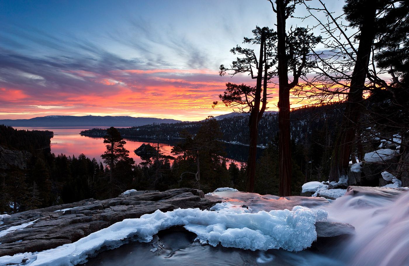
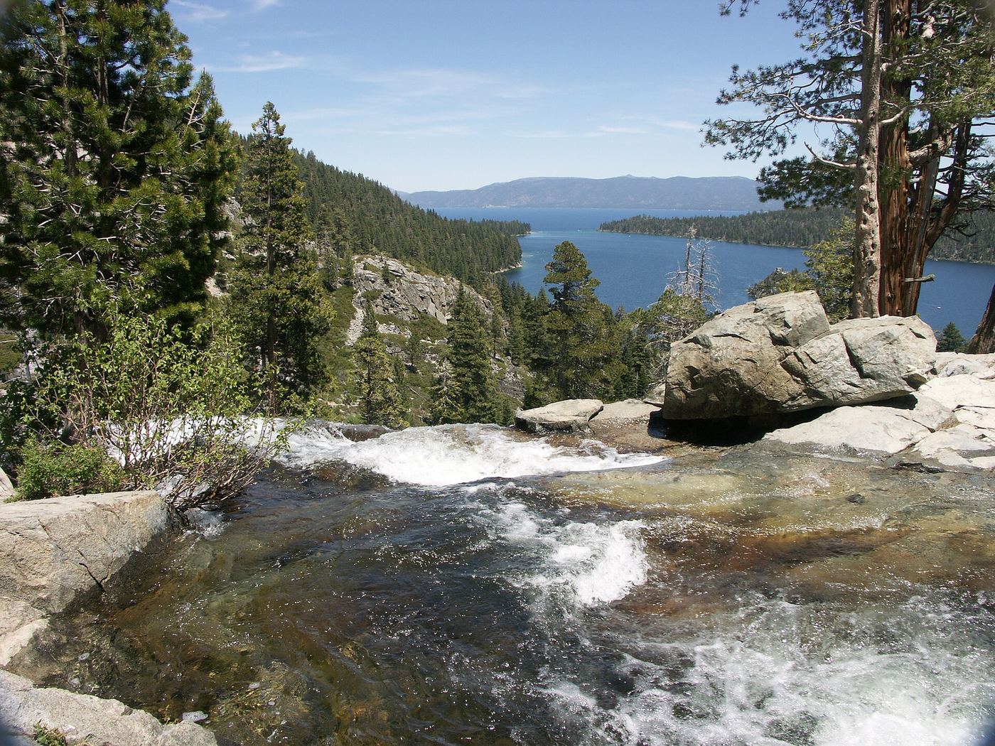
Closest with a photo
All 11 waterfalls
- East Snow Mountain Falls2,198 ft (670 m) · Placer County, CA15 miSW
- Weber FallsOfficial directions and parking documented; steep, unfenced gorgeSierra County, CA16 miNW
- Lower King's Canyon WaterfallShort official trail route and trailhead documentedCarson City, NV23 miSE
- Jumbo FallsWashoe County, NV26 miE
- Eagle FallsLower Eagle Falls route verifiedEl Dorado County, CA26 miS
- Lower Eagle FallsOfficial state park trailEl Dorado County, CA26 miS
- Upper Eagle FallsOfficial trailhead; seasonal parking typically closes mid-OctoberEl Dorado County, CA26 miS
- Cascade FallsResearched route and starting areaEl Dorado County, CA28 miS
- Genoa FallsPublic trail system; moderate canyon hikeDouglas County, NV28 miSE
- Loves FallsApproach or parking partly unconfirmedSierra County, CA29 miNW
- Hackmans FallsSierra County, CA29 miNW