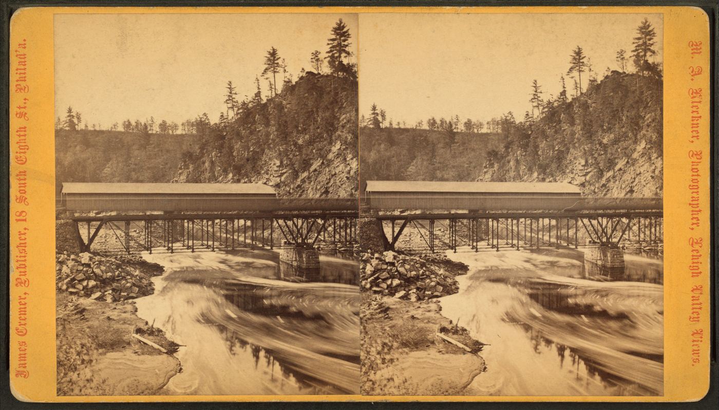
Waterfalls near Hazleton, PA
32 named waterfalls within 30 miles of Hazleton, closest first. Distances are straight-line from the town center.
Visits with route details
Read the walking route, starting point and current access notes.
- Buttermilk FallsFlat state park rail trail and parking documentedCarbon County, PA
- Lukes FallsOfficial park rail trail and access area documented; short level walkCarbon County, PA
- Hawk FallsOfficial state park trail and roadside trailhead parking documentedCarbon County, PA
- Buttermilk FallsRoadside falls beside a pull-off; low flow in summer60 ft (18.3 m) · Luzerne County, PA
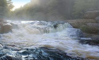 Tobyhanna FallsEasy county natural area trail from Route 115Monroe County, PA
 Wild Creek FallsOfficial state park trail and trailhead documented; summer weekend parking limitsCarbon County, PA
 Choke Creek FallsForest roads and the Pinchot Trail from a Phelps Road pull-offLuzerne County, PA
- Salvatore FallsPartial guide: the last 50 yards to the base are off trailLuzerne County, PA
- Murray Reynolds FallsOfficial state park trail, parking and distance documented16 ft (4.9 m) · Luzerne County, PA
- Sheldon Reynolds FallsState park trail from the Glens Lot on PA 11836 ft (11 m) · Luzerne County, PA
- Harrison Wright FallsState park trail from the Glens Lot on PA 11827 ft (8.2 m) · Luzerne County, PA
- Wyandot FallsOfficial state park trail and parking documented15 ft (4.6 m) · Luzerne County, PA
- B. Reynolds FallsState park trail down the Glen Leigh side of the Falls Trail40 ft (12.2 m) · Luzerne County, PA
- Erie FallsOfficial Falls Trail from Lake Rose Trailhead; distance to this falls not given47 ft (14.3 m) · Luzerne County, PA
- Tuscarora FallsOfficial Falls Trail from Lake Rose Trailhead; distance to this falls not given41 ft (12.5 m) · Luzerne County, PA
- R.B. Ricketts FallsOfficial state park trail and parking documented36 ft (11 m) · Luzerne County, PA
- Conestoga FallsOfficial state park trail and parking documented17 ft (5.2 m) · Luzerne County, PA
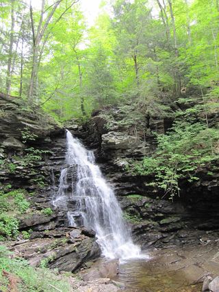 Ozone FallsOfficial Falls Trail from Beach Lot #2; distance to this falls not given60 ft (18.3 m) · Luzerne County, PA
- Mohican FallsOfficial state park trail and trailhead parking documented; steep and slippery39 ft (11.9 m) · Luzerne County, PA
- Delaware FallsOfficial state park trail and parking documented31 ft (9.4 m) · Luzerne County, PA
- Seneca FallsOfficial state park trail and parking documented12 ft (3.6 m) · Luzerne County, PA
- Huron FallsOfficial state park trail and trailhead parking documented; steep and slippery41 ft (12.5 m) · Luzerne County, PA
- Shawnee FallsOfficial Falls Trail from Beach Lot #2; distance to this falls not givenLuzerne County, PA
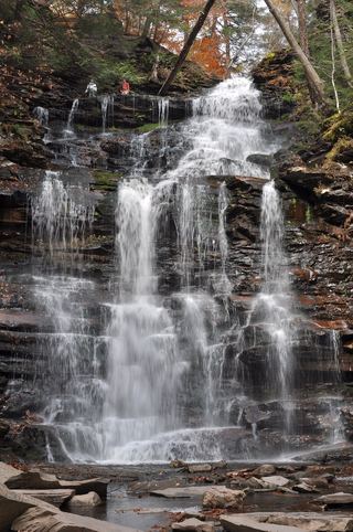 Ganoga FallsOfficial Falls Trail from Lake Rose Trailhead94 ft (28.6 m) · Luzerne County, PA
Closest with a photo
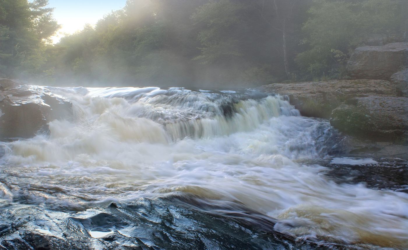
Photo credit
Photo: Nicholas A. Tonelli from Northeast Pennsylvania, USA, CC BY 2.0, via Wikimedia Commons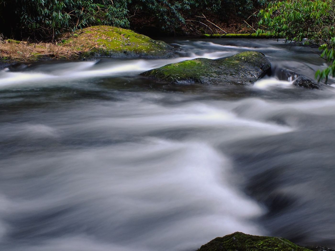
All 32 waterfalls
- Buttermilk FallsFlat state park rail trail and parking documentedCarbon County, PA12 miE
- Lukes FallsOfficial park rail trail and access area documented; short level walkCarbon County, PA12 miE
- Cave FallsCarbon County, PA12 miSE
- Terrace FallsCarbon County, PA12 miSE
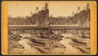 Onoko FallsCarbon County, PA12 miSE
- Lower FallsCarbon County, PA12 miSE
- Hawk FallsOfficial state park trail and roadside trailhead parking documentedCarbon County, PA18 miE
- Buttermilk FallsRoadside falls beside a pull-off; low flow in summer60 ft (18.3 m) · Luzerne County, PA19 miNE
- Great Falls of the LehighMonroe County, PA22 miNE
- Tobyhanna FallsEasy county natural area trail from Route 115Monroe County, PA22 miNE
- Wild Creek FallsOfficial state park trail and trailhead documented; summer weekend parking limitsCarbon County, PA22 miE
- Choke Creek FallsForest roads and the Pinchot Trail from a Phelps Road pull-offLuzerne County, PA24 miNE
- Salvatore FallsPartial guide: the last 50 yards to the base are off trailLuzerne County, PA24 miNE
- Un-named FallsSchuylkill County, PA28 miSW
- Swatara FallsSchuylkill County, PA28 miSW
- Princess Run WaterfallMonroe County, PA29 miE
- Murray Reynolds FallsOfficial state park trail, parking and distance documented16 ft (4.9 m) · Luzerne County, PA29 miNW
- Sheldon Reynolds FallsState park trail from the Glens Lot on PA 11836 ft (11 m) · Luzerne County, PA29 miNW
- Harrison Wright FallsState park trail from the Glens Lot on PA 11827 ft (8.2 m) · Luzerne County, PA29 miNW
- Wyandot FallsOfficial state park trail and parking documented15 ft (4.6 m) · Luzerne County, PA30 miNW
- B. Reynolds FallsState park trail down the Glen Leigh side of the Falls Trail40 ft (12.2 m) · Luzerne County, PA30 miNW
- Erie FallsOfficial Falls Trail from Lake Rose Trailhead; distance to this falls not given47 ft (14.3 m) · Luzerne County, PA30 miNW
- Tuscarora FallsOfficial Falls Trail from Lake Rose Trailhead; distance to this falls not given41 ft (12.5 m) · Luzerne County, PA30 miNW
- R.B. Ricketts FallsOfficial state park trail and parking documented36 ft (11 m) · Luzerne County, PA30 miNW
- Conestoga FallsOfficial state park trail and parking documented17 ft (5.2 m) · Luzerne County, PA30 miNW
- Ozone FallsOfficial Falls Trail from Beach Lot #2; distance to this falls not given60 ft (18.3 m) · Luzerne County, PA30 miNW
- Mohican FallsOfficial state park trail and trailhead parking documented; steep and slippery39 ft (11.9 m) · Luzerne County, PA30 miNW
- Delaware FallsOfficial state park trail and parking documented31 ft (9.4 m) · Luzerne County, PA30 miNW
- Seneca FallsOfficial state park trail and parking documented12 ft (3.6 m) · Luzerne County, PA30 miNW
- Huron FallsOfficial state park trail and trailhead parking documented; steep and slippery41 ft (12.5 m) · Luzerne County, PA30 miNW
- Shawnee FallsOfficial Falls Trail from Beach Lot #2; distance to this falls not givenLuzerne County, PA30 miNW
- Ganoga FallsOfficial Falls Trail from Lake Rose Trailhead94 ft (28.6 m) · Luzerne County, PA30 miNW