WaterfallNear Me

Texas waterfall visits

Compare 16 Texas waterfall visits by the approach, terrain, and where to start. Some routes have closures or unresolved details; read the individual guide before travelling.

16 visit options

Gorman Falls, TX

State park trail route documented; entrance fee and day-pass reservations

Texas

Gorman Falls

1.5 miles one way, per Texas Parks and Wildlife; the park also describes it as a 3-mile round trip

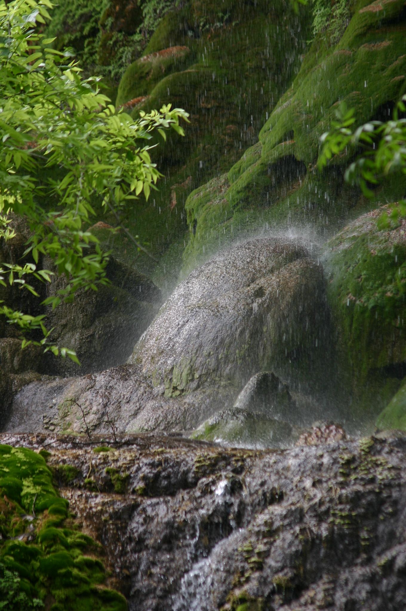
Gorman Falls is a 70-foot spring-fed travertine waterfall that spills into the Colorado River in Colorado Bend State Park. It is the park's most popular trail. The Gorman Falls Trailhead and its parking lot are near the park entrance, so day visitors do not need to drive to headquarters. The trail is very rocky with little shade and ends with a steep, slippery descent near the falls. The park asks visitors to view the falls from a distance and not to enter the pools or climb on the falls. Return the same way. The park also offers guided visits to the falls.
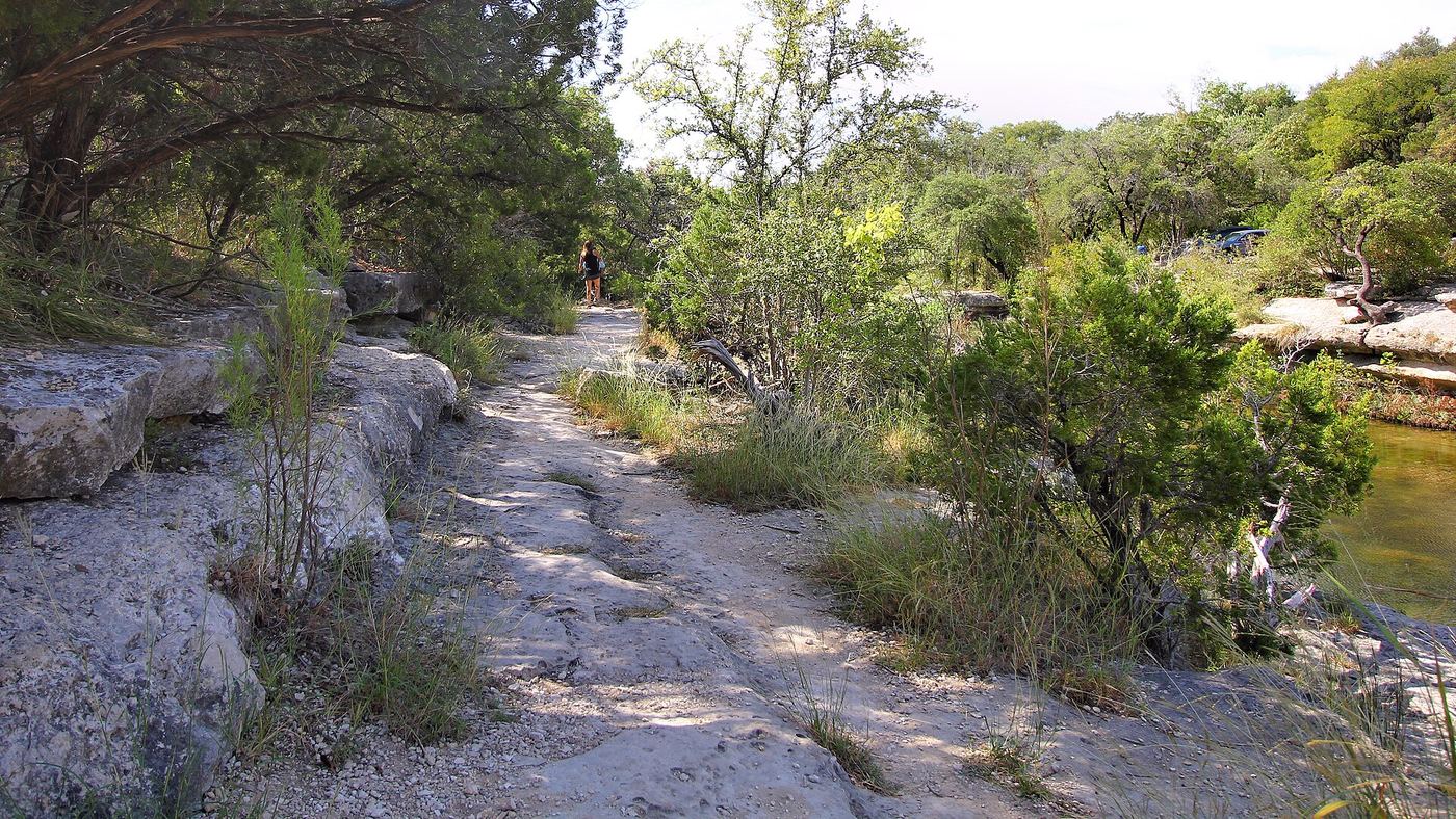
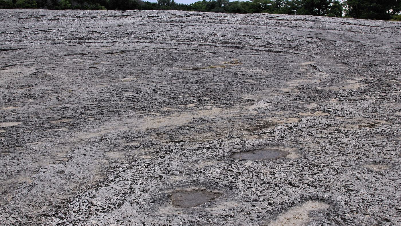
Photo creditPhoto: Wing-Chi Poon, CC BY-SA 2.5, via Wikimedia Commons
Lower Bull Creek Falls, TX

Partial guide: falls named by a park nonprofit; nearest lot not stated

Texas

Lower Bull Creek Falls

Short walk; a park guide says the falls are right at the trailhead

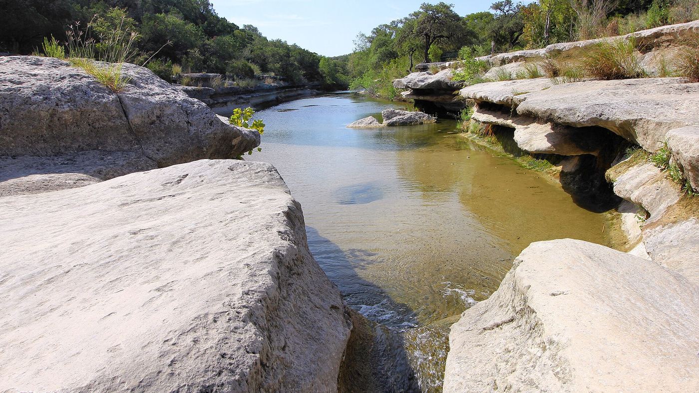
Lower Bull Creek Falls is one of several small falls and swimming holes on Bull Creek in Bull Creek District Park, a City of Austin park on Lakewood Drive near Loop 360. The Austin Parks Foundation names four swimming spots on the creek and says Lower Bull Creek Falls is right at the trailhead. The park is free and open daily from 5 a.m. to 10 p.m.; there is no lifeguard, so swimming is at your own risk. Dogs are allowed on a leash. Which of the park lots and trailheads is closest to this falls is not stated by the sources, so this is a partial guide.

Photo creditPhoto: Larry D. Moore, CC BY 4.0, via Wikimedia Commons
Lower McKinney Falls, TX

State park trail from the Lower Falls parking lot; entrance fee

Texas

Lower McKinney Falls

About half a mile by the shortest route, per Enchanting Texas

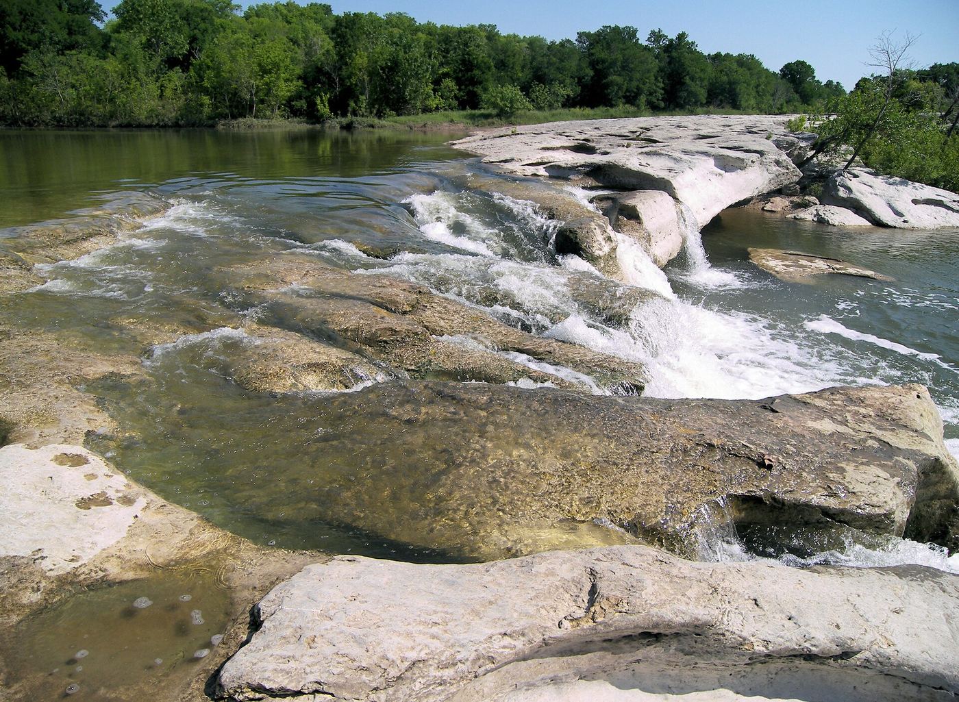
Lower McKinney Falls is where Onion Creek pours over wide limestone ledges just below its meeting with Williamson Creek in McKinney Falls State Park in Austin. Enter the park from McKinney Falls Parkway, drive past the ranger station and turn right to the Lower McKinney Falls parking lot. Walk the Picnic Trail or the Homestead Trail to the falls; the way crosses a large rock slab that was once part of El Camino Real. To reach the gravel beach at the bottom of the falls, Enchanting Texas says to climb down from behind the telephone pole before the falls. The Homestead, Flint Rock and Williamson Creek Overlook trails start across the creek at the Lower Falls, and crossing means wet feet. Return the same way.

Photo creditPhoto: Larry D. Moore, CC BY 4.0, via Wikimedia Commons
Middle Bull Creek Falls, TX

Partial guide: falls named by a park nonprofit; exact lot not stated

Texas

Middle Bull Creek Falls

A few steps; a park guide says the parking lot is right on the edge of the swimming hole

The Middle Falls is a small waterfall and swimming hole on Bull Creek in Bull Creek District Park, a City of Austin park on Lakewood Drive near Loop 360. The Austin Parks Foundation says the Middle Falls are easy to reach because a parking lot sits right on the edge of the swimming hole. A book excerpt describes the park's main swimming spot, where Bull Creek flows over a small dam into two pools, with plenty of parking. There is no lifeguard. Dogs are allowed on a leash. The sources do not say which lot serves the Middle Falls, so this is a partial guide.

Photo creditPhoto: Larry D. Moore, CC BY 4.0, via Wikimedia Commons
Silver Falls, TX

Roadside rest area with a stairway to the falls; flows mainly after rain

Texas

Silver Falls

Distance not stated

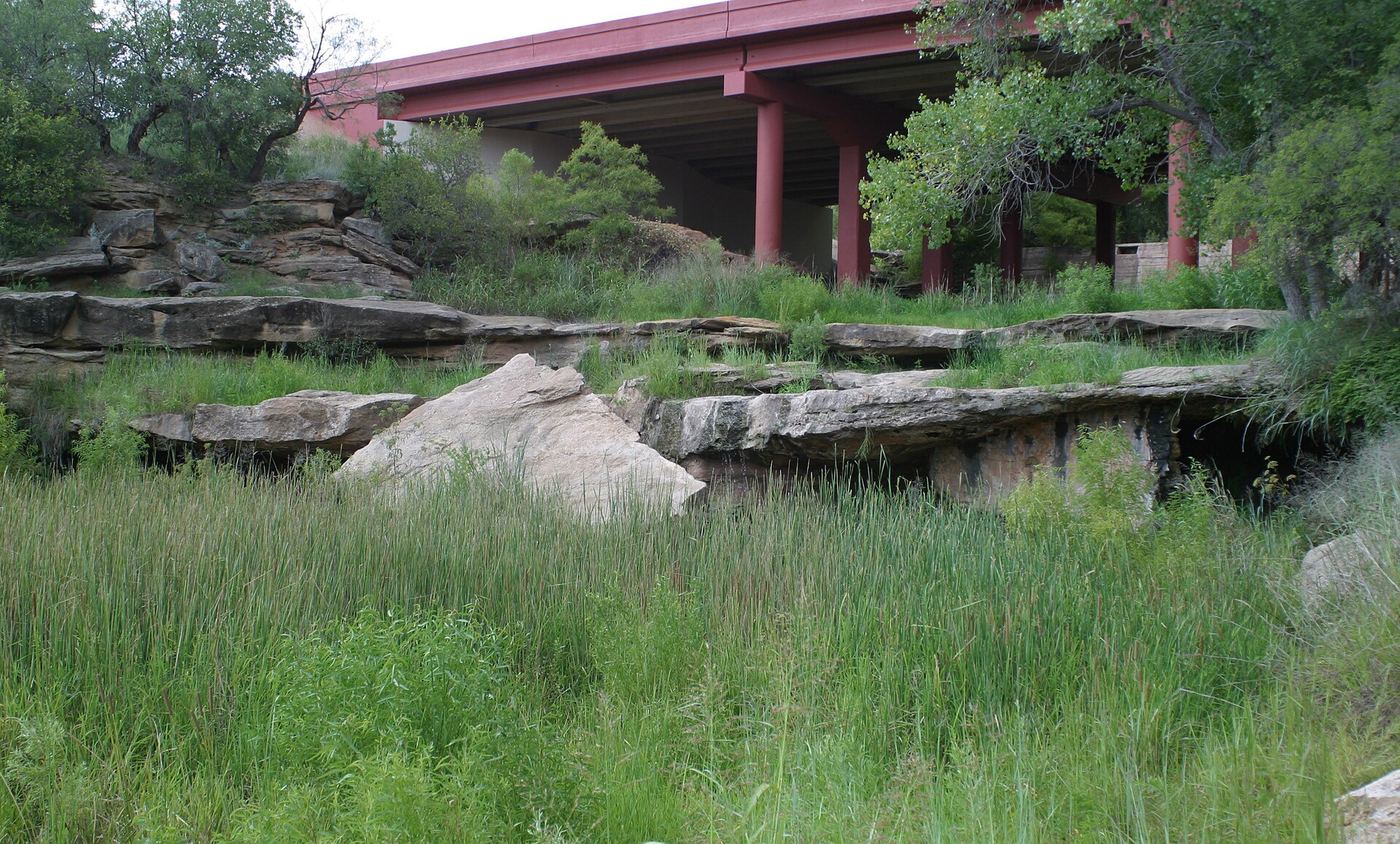
Silver Falls is where the White River drops over rock ledges into a pool in Blanco Canyon, below Silver Falls Park, a roadside rest area on US 82 about five miles east of Crosbyton. From the rest area, take the white stone stairway down the hill, walk across the long lawn with its stone picnic tables, and continue along the canyon wall to the rock ledges and pool of the falls. Return the same way. The riverbed is usually dry. Texas Highways reports that the falls now flow only when it rains, and Authentic Texas says heavy storm runoff can quickly turn the riverbed into a torrent.

Photo creditPhoto: Leaflet, CC BY-SA 3.0, via Wikimedia Commons
Upper McKinney Falls, TX

State park paved trail from the visitor center lot; entrance fee

Texas

Upper McKinney Falls

About 1/4 mile, under 10 minutes, per Enchanting Texas

Upper McKinney Falls is where Onion Creek cascades through channels in a wide bed of limestone and volcanic ash in McKinney Falls State Park in Austin. An easy paved trail, the Onion Creek Hike and Bike Trail, runs from the Smith Visitor Center parking lot to the Upper Falls, and the falls can be seen from the end of the trail. Visitors can also cross the creek to reach the falls; water shoes are needed. Jumping from the rock ledge over the falls has caused serious injuries.

Photo creditPhoto: Larry D. Moore, CC BY 4.0, via Wikimedia Commons
Wichita Falls, TX

City park paved trail documented; waterfall turned off indefinitely

Texas

Wichita Falls

About 1 mile round trip, per the City of Wichita Falls

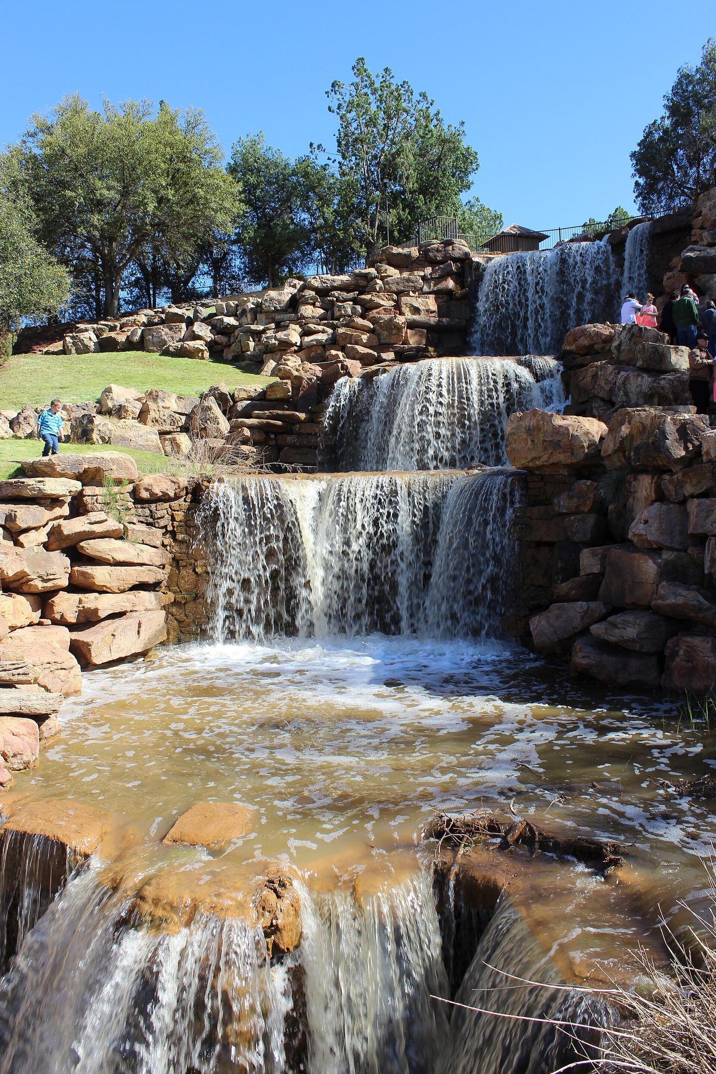
The Falls is a 54-foot man-made, multi-level cascade on the south bank of the Wichita River, built upstream of the original falls that gave the city its name and later washed away. From the parking areas just inside Lucy Park on Sunset Drive, follow the concrete Circle Trail to the falls and return the same way. The city says the pumped waterfall is turned off indefinitely while it plans repairs, and the trail remains open, so check the city page before you go if you want to see water flowing.

Photo creditPhoto: © Travis K. Witt, CC BY-SA 4.0, via Wikimedia Commons

Guide: unsigned park trail to a spring-fed falls

Texas

Cattrail Falls

1.5 miles one way, including 0.5 mile along the access track (3.2 miles round trip from the parking area)

Cattail Falls is a spring-fed waterfall that drops about 80 feet into a pool in Cattail Canyon on the west side of the Chisos Mountains in Big Bend National Park. The trail is not on the park map and the trailhead is not signed from the highway. Take the unsigned gravel road that forks east off Ross Maxwell Scenic Drive opposite the Sam Nail Ranch pull-out and drive 1.3 miles to the Oak Spring trailhead parking. Walk around the gate and up the road about half a mile into the Oak Creek drainage, where a large oak and a sign mark the Cattail Falls Trail branching right. The trail climbs log steps over a low ridge, crosses a flat area, follows the rim of Cattail Canyon east and drops to the pool at the base of the falls. The sign asks visitors not to wade in the pools, to stay on the path and to walk on rock rather than soil near the falls. Return the same way.

Location map; no photo available.

Partial guide: view from the C Loop only; dam is on private land; viewing spot on the loop not stated

Texas

CCC Rock Dam

C Loop is 1.5 miles; where along the loop the dam is seen is not stated

The CCC Rock Dam is a stone dam built by the Civilian Conservation Corps with natural materials. It sits just outside Tyler State Park on neighboring private land and is seen from the C Loop hiking trail. Texas Parks and Wildlife asks visitors to respect the neighboring landowner and view the dam from the hiking trail only. Do not leave the trail to approach it.

Location map; no photo available.

Partial guide: boat-only falls on a remote downriver trip; banks are private

Texas

Dolan Falls

No walk; boat access only. About 16.4 river miles downstream from Baker's Crossing, per Texas Parks and Wildlife

Dolan Falls is a 10-foot Class IV waterfall on the Devils River in Val Verde County. It is reached only by boat, as part of a remote downriver trip. Texas Parks and Wildlife names Baker's Crossing on State Highway 163 and San Pedro Point in the Del Norte Unit of Devils River State Natural Area as public launch points above the falls. At the Del Norte Unit, park at the gate and carry your boat and gear the last mile to the river at San Pedro Point. Texas Parks and Wildlife strongly recommends portaging around the falls: watch for a large warning sign on a boulder on the left bank (facing downstream), take out early above the falls, and carry around on either bank. The banks around the falls are private property, so stay only as long as it takes to scout and portage. Take-outs are far downstream, so plan a shuttle with an outfitter. No source describes a short return trip to the falls.

Location map; no photo available.

Partial guide: falls name not confirmed by an official source; steep descent

Texas

Hill of Life Falls

About half a mile down, 15 to 20 minutes, per The Outbound

This listing is on Barton Creek at the bottom of the Hill of Life, the steepest section of the Barton Creek Greenbelt in west Austin. Visitor guides describe the Hill of Life Dam at the bottom of the descent as a place to relax and swim when the creek is flowing. No official source names a Hill of Life Falls, so it is not confirmed that this listing is the water over that dam. From the trailhead at the top of Camp Craft Road, descend the steep, rocky Hill of Life trail to the creek. Return the same way, which means climbing back up the hill. The creek is often dry in drought.

Location map; no photo available.

Partial guide: city park creek trail; exact start and distance not confirmed

Texas

Link Falls

No source gives a confirmed distance for this walk

Link Falls is a set of limestone ledge falls on Bull Creek in northwest Austin. A travel article places it at Bull Creek District Park and calls these ledge falls the biggest in the park, with a swimming hole beside them. The trail is muddy, has many winding paths, and crosses Bull Creek once or twice before the falls. Return the same way. This is a partial guide: the exact starting lot, the trail to follow and the walking distance are not confirmed by an official source, and this listing sits about 1 km north of the park's main area, so the falls may be reached from a greenbelt access point instead.

Location map; no photo available.

Partial guide: overlook view only on a cairned route; four-wheel-drive road and permit needed

Texas

Madrid Falls

0.15 miles from Chorro Vista Trailhead to a large cairn, then 0.3 miles to the overlook, per the park; the full Chorro Vista Loop is 4.6 miles

Madrid Falls, about 100 feet tall, is in a lush canyon in the remote interior of Big Bend Ranch State Park. Texas Parks and Wildlife describes a view of the falls from above, at the Madrid Falls Overlook on the Chorro Vista Loop. From Chorro Vista Trailhead, the route descends 0.15 miles to an intersection marked by an exceptionally large rock cairn. From the cairn, follow the trail southeast 0.3 miles to the overlook. Return to the cairn and climb back to the trailhead. The longer loop from Mexicano Falls Trailhead also passes Crawford-Smith and Madrid House viewpoints. This is more of a route than a trail: it follows rock cairns and is faint in places. A route to the base of the falls is not described.

Location map; no photo available.

Guide: greenbelt trail past Twin Falls

Texas

Sculpture Falls

About 1.2 miles from the Gaines/Twin Falls trailhead, per a local guide

Sculpture Falls is a limestone ledge waterfall and swimming hole on Barton Creek in the Barton Creek Greenbelt, a City of Austin park. The city lists the Gaines Park/MoPac trailhead on the MoPac southbound service road as the access for Twin Falls. From there a rocky descent leads to Twin Falls, and Sculpture Falls is farther along the main trail upstream. The falls run only when Barton Creek is flowing after rain; the city does not monitor water levels, so check a stream gauge first. The city warns that conditions can change quickly in storms. Trash cans are only at trailheads, so carry out everything. Return the same way.

Location map; no photo available.

Guide: park trail to the Window pour-off

Texas

The Window Pour Off

5.5 miles round trip from the Chisos Basin trailhead; 4.0 miles round trip from the Basin Campground trailhead

The Window pour-off is where Oak Creek drops out of the Chisos Basin through a narrow notch called the Window, in Big Bend National Park. The Window Trail starts from a paved walkway near the Chisos Basin Store and descends through Oak Creek Canyon; the first mile is the steepest, with wooden log steps. A shorter start is at the Basin Campground trailhead near campsite 51, with parking at the Amphitheater lot. In wetter periods Oak Creek may be flowing and must be crossed several times. The last quarter mile is in a slickrock canyon where footing is difficult. The park reminds hikers that the walk down is easy but the return is a climb of about 1,000 feet. Return the same way.

Location map; no photo available.

Short greenbelt trail from Mopac street parking; flow depends on rain

Texas

Twin Falls

About half a mile from parking, per The Outbound

Twin Falls is a swimming spot where Barton Creek pours over limestone ledges in the Barton Creek Greenbelt in Austin, next to the Mopac Expressway. Start at the Gaines Park/Mopac Trailhead at 3918 S Mopac Expressway (southbound service road). There is no official parking lot; look for cars parked along the road. Follow the trail down a rocky descent to the creek and Twin Falls. Sculpture Falls is farther along the same trail. Return the same way. In dry years the creek may have little or no water and the falls may not flow.

Location map; no photo available.

Choose another state All mapped waterfalls in Texas