Wichita Falls
Wichita County, Texas
Your visit at a glance
- Waterfall height
- Not recorded
- Location
- Wichita County, Texas
- Access status
- City park paved trail documented; waterfall turned off indefinitely
- The walk
- About 1 mile round trip, per the City of Wichita Falls
- Ground & access
- Paved concrete trail, shared with bicycles.
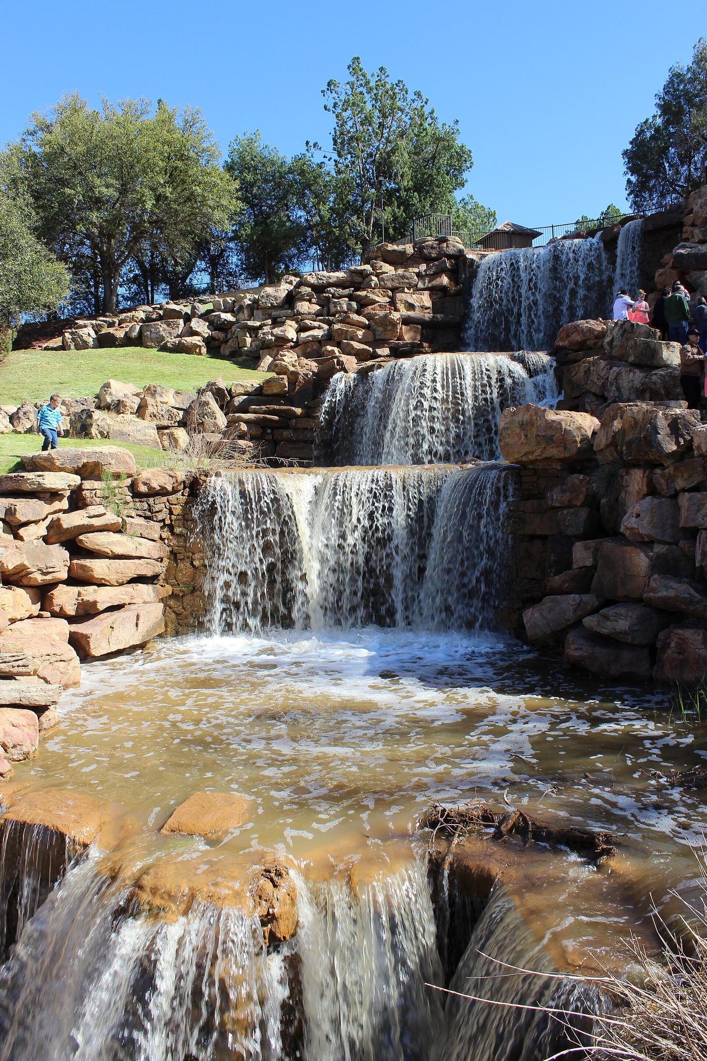
The Falls is a 54-foot man-made, multi-level cascade on the south bank of the Wichita River, built upstream of the original falls that gave the city its name and later washed away. From the parking areas just inside Lucy Park on Sunset Drive, follow the concrete Circle Trail to the falls and return the same way. The city says the pumped waterfall is turned off indefinitely while it plans repairs, and the trail remains open, so check the city page before you go if you want to see water flowing.
Plan your visit
Parking area just inside Lucy Park on Sunset Drive, then the concrete Circle Trail along the Wichita River to The Falls on the south bank
The City of Wichita Falls says it is about a 1-mile walk to the Falls and back from the parking areas inside Lucy Park on Sunset Drive.
Paved concrete trail, shared with bicycles.
Where to start
Parking areas just inside Lucy Park on Sunset Drive with access to the concrete trail. The city also lists parking along the service road that circles under the I-44 bridge over the Wichita River.
Timing & water
The waterfall is pumped, not natural flow. The city says it is turned off indefinitely while repairs are planned; check the city page for its current status.
Before you go
No fee is mentioned.
Visitor informationVisit sources
More waterfalls nearby
Within 40 straight-line miles. Road and trail distances will differ.
No other mapped waterfalls within 40 miles.