Hill of Life Falls
Travis County, Texas
Your visit at a glance
- Waterfall height
- Not recorded
- Location
- Travis County, Texas
- Access status
- Partial guide: falls name not confirmed by an official source; steep descent
- The walk
- About half a mile down, 15 to 20 minutes, per The Outbound
- Ground & access
- Steep, rocky descent with loose rock, limestone ledges and concrete erosion-block steps up to a foot high, then a flat creekside trail.
This listing is on Barton Creek at the bottom of the Hill of Life, the steepest section of the Barton Creek Greenbelt in west Austin. Visitor guides describe the Hill of Life Dam at the bottom of the descent as a place to relax and swim when the creek is flowing. No official source names a Hill of Life Falls, so it is not confirmed that this listing is the water over that dam. From the trailhead at the top of Camp Craft Road, descend the steep, rocky Hill of Life trail to the creek. Return the same way, which means climbing back up the hill. The creek is often dry in drought.
Plan your visit
Trail's End/Camp Craft Rd. Trailhead at the top of Camp Craft Road, down the Hill of Life trail to Barton Creek at the Hill of Life Dam
The Outbound describes a half mile descent that takes around 15 to 20 minutes, ending at the Hill of Life Dam. Hiking Project says the Hill of Life drops 300 vertical feet in just over a third of a mile. The way back climbs the same hill.
Steep, rocky descent with loose rock, limestone ledges and concrete erosion-block steps up to a foot high, then a flat creekside trail.
Where to start
City of Austin lists the Trail's End/Camp Craft Rd. Trailhead at 1712 Camp Craft Rd with paid street parking. Hiking Project says to park off Scottish Woods Trail and Camp Craft Road.
Timing & water
Water depends on rain; the creek can be completely dry. Water levels can change quickly. City of Austin says park facilities close after 10 p.m.
Before you go
Street parking is paid daily 8 a.m. to 8 p.m., per the City of Austin. No other fee is mentioned.
Visitor informationVisit sources
More waterfalls nearby
Within 40 straight-line miles. Road and trail distances will differ.
- Sculpture FallsGuide: greenbelt trail past Twin FallsTravis County, TX0.8 miSE
- Twin FallsShort greenbelt trail from Mopac street parking; flow depends on rainTravis County, TX1.9 miSE
- Small FallsTravis County, TX6.7 miN
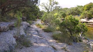 Lower Bull Creek FallsPartial guide: falls named by a park nonprofit; nearest lot not statedTravis County, TX7.1 miNE
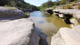 Middle Bull Creek FallsPartial guide: falls named by a park nonprofit; exact lot not statedTravis County, TX7.4 miN
- Link FallsPartial guide: city park creek trail; exact start and distance not confirmedTravis County, TX8.0 miN
- Hidden FallsTravis County, TX8.3 miNE
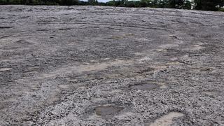 Lower McKinney FallsState park trail from the Lower Falls parking lot; entrance feeTravis County, TX8.7 miSE
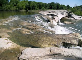 Upper McKinney FallsState park paved trail from the visitor center lot; entrance feeTravis County, TX8.7 miSE