Lower McKinney Falls
Travis County, Texas
Your visit at a glance
- Waterfall height
- Not recorded
- Location
- Travis County, Texas
- Access status
- State park trail from the Lower Falls parking lot; entrance fee
- The walk
- About half a mile by the shortest route, per Enchanting Texas
- Ground & access
- Short trail and bare limestone slab. Wet, slippery rock at the creek and the falls.
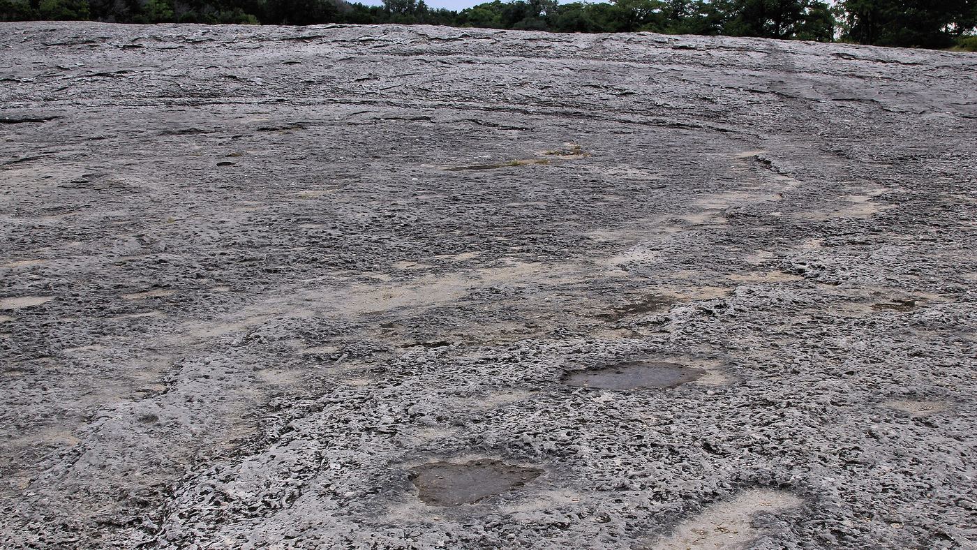
Lower McKinney Falls is where Onion Creek pours over wide limestone ledges just below its meeting with Williamson Creek in McKinney Falls State Park in Austin. Enter the park from McKinney Falls Parkway, drive past the ranger station and turn right to the Lower McKinney Falls parking lot. Walk the Picnic Trail or the Homestead Trail to the falls; the way crosses a large rock slab that was once part of El Camino Real. To reach the gravel beach at the bottom of the falls, Enchanting Texas says to climb down from behind the telephone pole before the falls. The Homestead, Flint Rock and Williamson Creek Overlook trails start across the creek at the Lower Falls, and crossing means wet feet. Return the same way.
Plan your visit
Lower McKinney Falls parking lot in McKinney Falls State Park, then the Picnic Trail or Homestead Trail to the Lower Falls on Onion Creek
Enchanting Texas says the Lower Falls are just a half mile walk by the shortest route from the Lower McKinney Falls parking lot.
Short trail and bare limestone slab. Wet, slippery rock at the creek and the falls.
Where to start
Lower McKinney Falls parking lot: after entering the park at 5808 McKinney Falls Parkway, Austin, drive past the ranger station and turn right.
Timing & water
Onion Creek can flood after rain; Texas Parks and Wildlife advises contacting the park for creek conditions. Coolers, ice chests and hard balls are not allowed in the Upper and Lower Falls areas.
Before you go
Entrance fee: $6 per person per day for ages 13 and older; children 12 and under free. The park often reaches capacity and highly recommends day pass reservations.
Visitor informationVisit sources
- Enchanting Texas: How to Visit Lower McKinney Falls
- Enchanting Texas: How to Visit Lower McKinney Falls
- Enchanting Texas: How to Visit Lower McKinney Falls
- Texas Parks and Wildlife: McKinney Falls State Park trails information
- Texas Parks and Wildlife: McKinney Falls State Park entrance fees
- Texas Parks and Wildlife: McKinney Falls State Park
- Texas Parks and Wildlife: McKinney Falls State Park
More waterfalls nearby
Within 40 straight-line miles. Road and trail distances will differ.
 Upper McKinney FallsState park paved trail from the visitor center lot; entrance feeTravis County, TX0.3 miSW
- Twin FallsShort greenbelt trail from Mopac street parking; flow depends on rainTravis County, TX6.9 miNW
- Sculpture FallsGuide: greenbelt trail past Twin FallsTravis County, TX7.9 miNW
- Hill of Life FallsPartial guide: falls name not confirmed by an official source; steep descentTravis County, TX8.7 miNW
 Lower Bull Creek FallsPartial guide: falls named by a park nonprofit; nearest lot not statedTravis County, TX13 miN
 Middle Bull Creek FallsPartial guide: falls named by a park nonprofit; exact lot not statedTravis County, TX13 miN
- Hidden FallsTravis County, TX14 miN
- Link FallsPartial guide: city park creek trail; exact start and distance not confirmedTravis County, TX14 miN
- Small FallsTravis County, TX15 miNW